Buaile Romagi

Coastal Feature, Headland, Point in Inverness-shire

Scotland

Buaile Romagi

Above Tràigh Iar Looking towards Rubha Romagraich and beyond.
Above Tràigh Iar Credit: Richard Dorrell

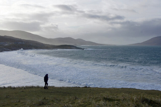
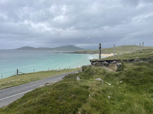
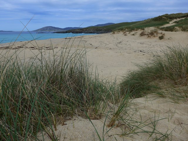
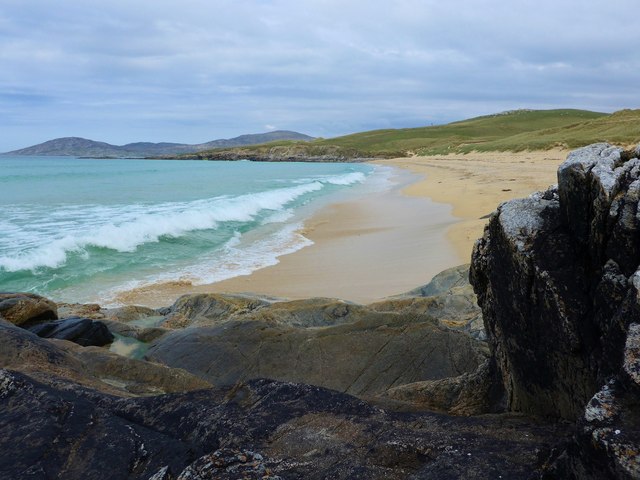
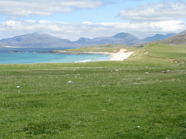
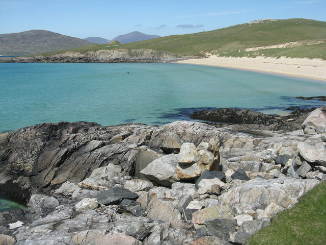
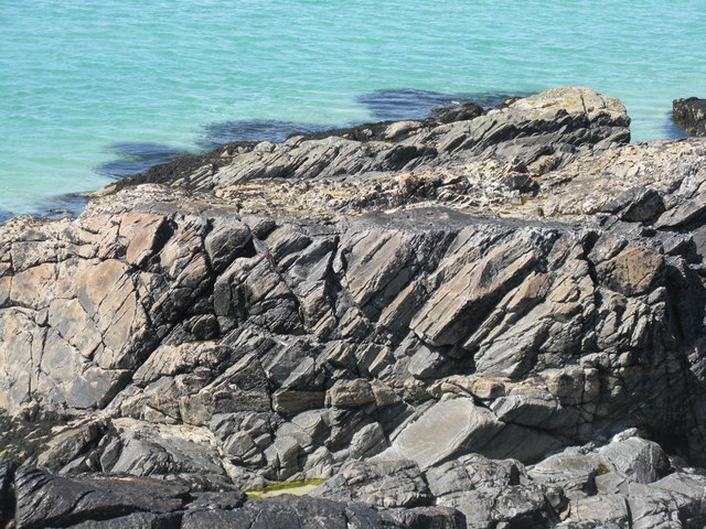
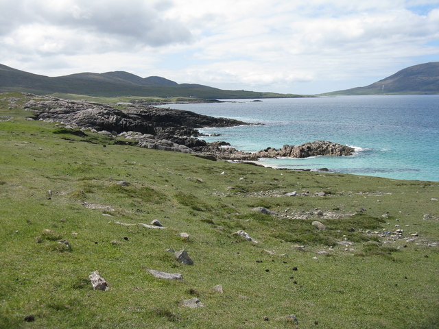
Buaile Romagi is a stunning coastal feature located in Inverness-shire, Scotland. It is a headland that juts out into the North Atlantic Ocean, forming a prominent point along the coastline. The headland is known for its rugged and dramatic landscape, with towering cliffs that provide breathtaking views of the surrounding area.

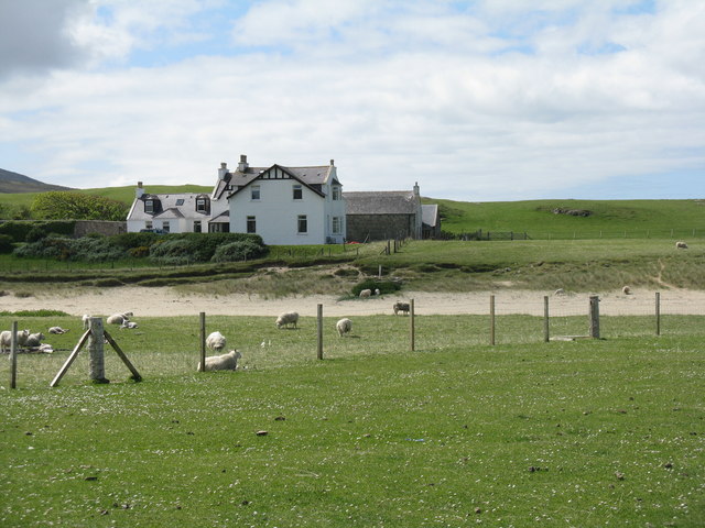
Situated near the village of Invermoriston, Buaile Romagi is a popular destination for outdoor enthusiasts and nature lovers. The headland offers a variety of activities, such as hiking, birdwatching, and wildlife spotting. The rugged cliffs provide nesting grounds for seabirds, including puffins, guillemots, and razorbills. Visitors may also catch a glimpse of seals and dolphins swimming in the nearby waters.

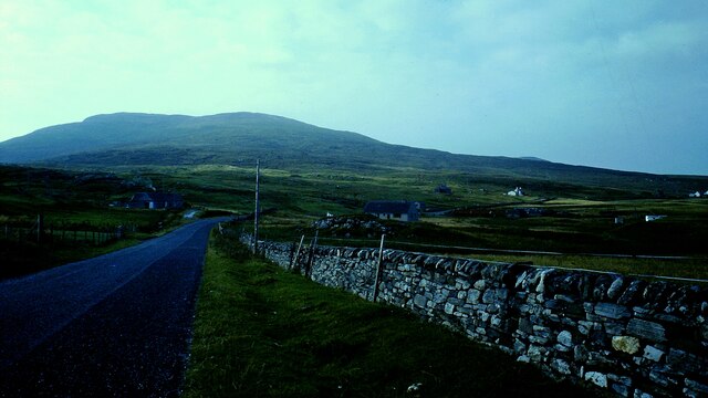
The headland is accessible via a well-maintained walking trail that winds through the picturesque Scottish countryside. The trail offers stunning vistas of the surrounding coastline, with panoramic views of the ocean and nearby islands. Along the way, visitors can admire the diverse flora and fauna that thrive in this unique coastal ecosystem.

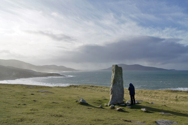
Buaile Romagi is not only a natural wonder but also holds historical significance. The headland is believed to have been inhabited since ancient times, and there are remnants of ancient settlements and fortifications that can still be seen today. These historical artifacts add an extra layer of intrigue and fascination to the already captivating landscape.

Overall, Buaile Romagi is a must-visit destination for anyone seeking to experience the raw beauty of Scotland's coastal scenery. With its rugged cliffs, abundant wildlife, and rich history, it truly offers a memorable and awe-inspiring experience for all who venture there.

If you have any feedback on the listing, please let us know in the comments section below.

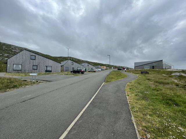
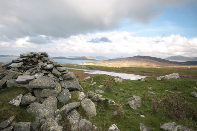
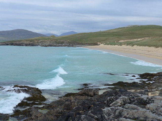
Buaile Romagi Images

Images are sourced within 2km of 57.849768/-7.0019775 or Grid Reference NG0395. Thanks to Geograph Open Source API. All images are credited.
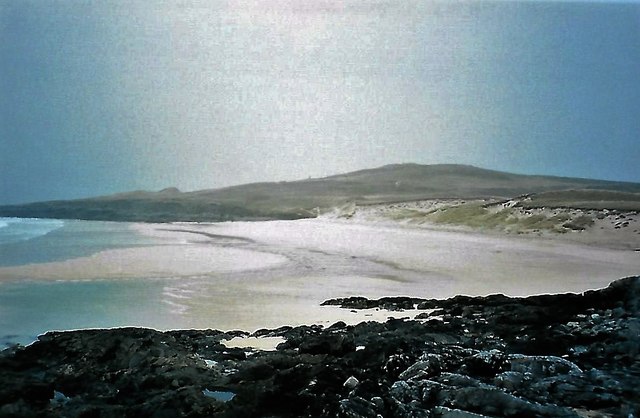
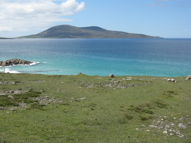
Above Tràigh Iar Looking towards Rubha Romagraich and beyond.
Above Tràigh Iar
Looking towards Rubha Romagraich and beyond.
Clach Mhic Leòid Looking south west past the MacLeod standing stone, with Rubha Romagraich to the left, and Ceapabhal behind the stone.
Clach Mhic Leòid
Looking south west past the MacLeod standing stone, with Rubha Romagraich to the left, and Ceapabhal behind the stone.
Borvemore in 1981
Borvemore in 1981
Roadside views of Harris
Holiday homes and a cafe Geocaching is a type of global treasure hunt of people looking for caches, or hidden stashes of objects. Geocaching may also be described as a series of hide-and-seek games, where hiders provide online clues for seekers. Seekers use global positioning system (GPS) devices to find hidden caches
Holiday homes and a cafe
Geocaching is a type of global treasure hunt of people looking for caches, or hidden stashes of objects. Geocaching may also be described as a series of hide-and-seek games, where hiders provide online clues for seekers. Seekers use global positioning system (GPS) devices to find hidden caches
Borve Dun from the South The summit cairn of Borve Dun with the township of Borve in the middle distance and Taransay beyond
Borve Dun from the South
The summit cairn of Borve Dun with the township of Borve in the middle distance and Taransay beyond
Traigh Iar
Traigh Iar
Traigh Iar Translates as west beach/shore.  In the distance, on the hilltop, stands the massive prehistoric standing stone - Clach Mhic Leoid or Macleod's stone.
Traigh Iar
Translates as west beach/shore. In the distance, on the hilltop, stands the massive prehistoric standing stone - Clach Mhic Leoid or Macleod's stone.
The back of Traigh Iar Traigh Iar - West Shore/Beach.
The back of Traigh Iar
Traigh Iar - West Shore/Beach.
Rocks and sand at Traigh Iar
A view from Scarasta Looking north east to Taransay and Luskentyre.
A view from Scarasta
Looking north east to Taransay and Luskentyre.
Rubha Romaigidh A small headland south of Tràigh Iar. Toe Head/Gob an Tobhar and Ceapabhal are in the distance [8km].
Rubha Romaigidh
A small headland south of Tràigh Iar. Toe Head/Gob an Tobhar and Ceapabhal are in the distance [8km].
Tràigh Iar at Horgabost Looking north.
Tràigh Iar at Horgabost
Looking north.
Coastal granite at Horgabost
Borve Lodge Part of the Borve Estate. Looking over the outflow burn from Loch Bhuirgh.
Borve Lodge
Part of the Borve Estate. Looking over the outflow burn from Loch Bhuirgh.
Modern 'stone age' houses at Borve Two interesting houses that fit in well with the natural landscape.
Modern 'stone age' houses at Borve
Two interesting houses that fit in well with the natural landscape.
Harris coast near Na Buirgh Looking southwest towards Sgarasta.
Harris coast near Na Buirgh
Looking southwest towards Sgarasta.
The Sound of Taransay/Caolas Tharasaigh Looking southwest to Ceapabhal.
The Sound of Taransay/Caolas Tharasaigh
Looking southwest to Ceapabhal.
Show me another place!

Buaile Romagi is located at Grid Ref: NG0395 (Lat: 57.849768, Lng: -7.0019775)

Unitary Authority: Na h-Eileanan an Iar

Police Authority: Highlands and Islands

What 3 Words

///unsigned.referral.improvise. Near Leverburgh, Na h-Eileanan Siar

Related Wikis

Borve, Harris

Borve (Scottish Gaelic: Na Buirgh) is a village in Harris in the Outer Hebrides, Scotland. Borve is also within the parish of Harris, and is on the A859...

Luskentyre

Luskentyre (Scottish Gaelic: Losgaintir) is a sparse settlement on the west coast of Harris, in the Outer Hebrides, Scotland. Luskentyre is situated within...

Taransay

Taransay (Scottish Gaelic: Tarasaigh, pronounced [ˈt̪ʰaɾas̪aj]) is an island in the Outer Hebrides of Scotland. It was the host of the British television...

1990 Scotland RAF Shackleton crash

On 30 April 1990, a Royal Air Force Avro Shackleton AEW Mk II aircraft, of No. 8 Squadron RAF, based at RAF Lossiemouth, crashed into a hill on the Isle...

Nearby Amenities

Located within 500m of 57.849768,-7.0019775
Passing Place
Lat/Long: 57.8467512/-6.99799
Passing Place
Lat/Long: 57.8459666/-6.9981134
Passing Place
Lat/Long: 57.8498276/-6.9992351
Passing Place
Lat/Long: 57.8512975/-7.000264
Passing Place
Lat/Long: 57.8505824/-6.9997363
Borve Lodge
Tourism: apartment
Website: https://borvelodge.com/
Lat/Long: 57.8477801/-6.998232
Barrier: cattle_grid
Lat/Long: 57.8471743/-6.9978069
Passing Place
Lat/Long: 57.8472435/-6.9958622
Material: wood
Power: pole
Lat/Long: 57.846128/-6.9971846
Material: wood
Power: pole
Lat/Long: 57.8469602/-6.9967621
Material: wood
Power: pole
Lat/Long: 57.8477189/-6.9976178
Material: wood
Power: pole
Lat/Long: 57.8483712/-6.9983366
Material: wood
Power: pole
Lat/Long: 57.8491876/-6.9987443
Material: wood
Power: pole
Lat/Long: 57.8500883/-6.9992177
Material: wood
Power: pole
Lat/Long: 57.8508462/-6.9996227
Material: wood
Power: pole
Lat/Long: 57.8517889/-7.0001055
Material: wood
Power: pole
Lat/Long: 57.8523976/-7.0003027
Material: wood
Power: pole
Lat/Long: 57.8534382/-6.9999615
Material: wood
Power: pole
Lat/Long: 57.852987/-7.0001122
Power: pole
Lat/Long: 57.8454912/-7.0008692
Power: pole
Lat/Long: 57.8476637/-6.9979456
The data included in this document is from www.openstreetmap.org. The data is made available under ODbL.

Have you been to Buaile Romagi?

Leave your review of Buaile Romagi below (or comments, questions and feedback).