Na h-Iseanan

Coastal Feature, Headland, Point in Argyllshire

Scotland

Na h-Iseanan

Tiree - Buchanan Monument This monument to Alexander Buchanan sits on a little mound at Cnoc Eibrig near the settlement of Baugh, west of Scarinish and is clearly visible from the B8065 which passes it.
For more information including the inscription, see <a href="https://www.geograph.org.uk/photo/6909988">NM0243 : Tiree - Buchanan Monument - Detail with inscription</a>
Tiree - Buchanan Monument Credit: Rob Farrow

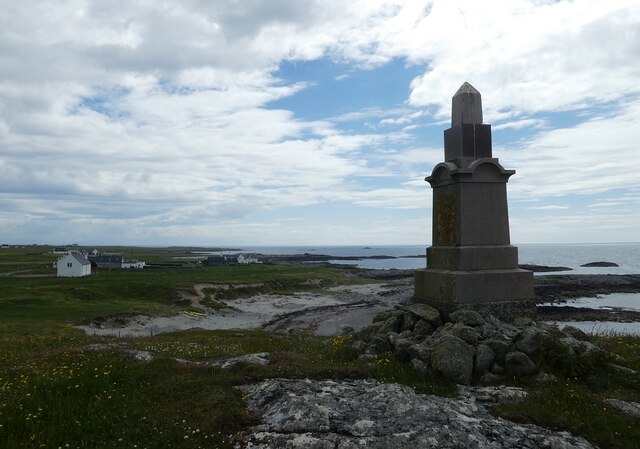
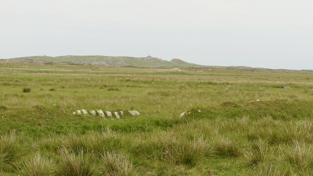
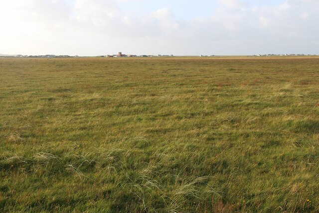
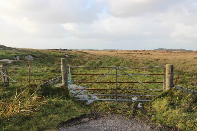
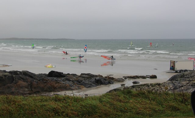
Na h-Iseanan is a prominent coastal feature located in Argyllshire, Scotland. It is classified as a headland, also known as a point, due to its distinct geographical formation. The headland extends into the sea, marking a significant change in the coastline's direction.

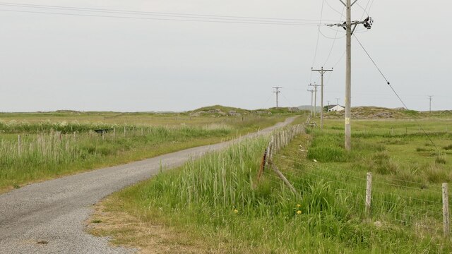
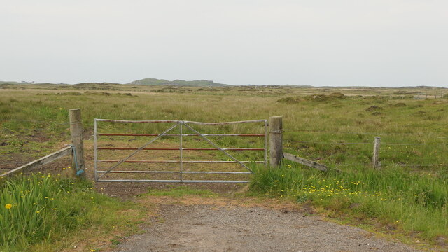
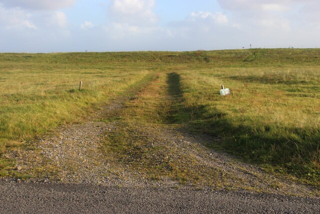
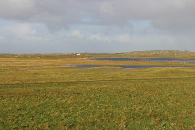
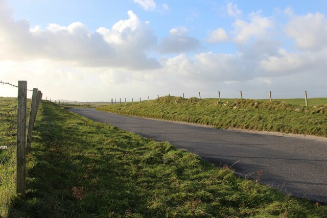
Situated on the western coast of Scotland, Na h-Iseanan offers breathtaking views of the surrounding landscape, including the vast expanse of the Atlantic Ocean. Its strategic location makes it a popular destination for nature enthusiasts and photographers alike.

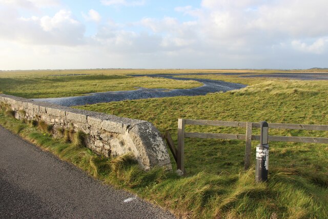
The headland is known for its rugged and rocky terrain, which has been shaped over thousands of years by the relentless force of the crashing waves. The constant erosion of the coastline has created unique rock formations and sea caves, adding to the area's natural beauty.

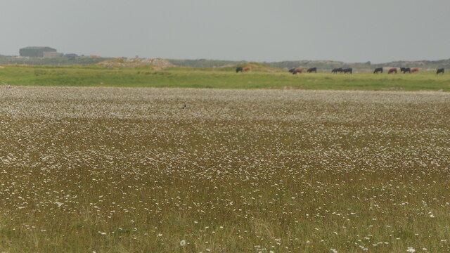
Na h-Iseanan's coastal environment is home to a diverse range of flora and fauna. Visitors can expect to see various seabirds, such as gulls and cormorants, nesting on the cliffs. The nearby waters are also teeming with marine life, including seals and dolphins, providing a rich ecosystem for wildlife enthusiasts to explore.

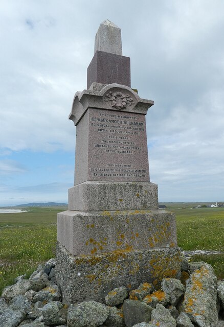
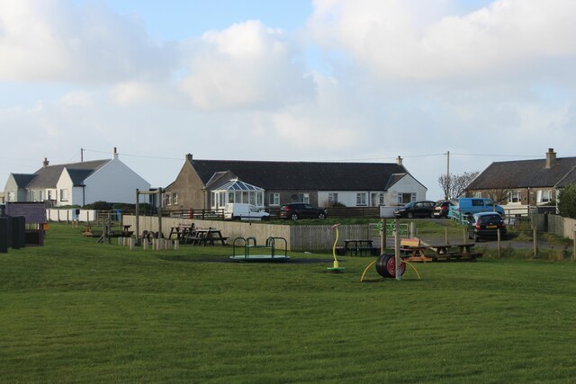
In addition to its natural allure, Na h-Iseanan holds historical and cultural significance. The headland has been a site of human activity for centuries, with evidence of ancient settlements and archaeological remains. It serves as a reminder of the area's vibrant past and provides an opportunity for visitors to connect with Scotland's rich heritage.

Overall, Na h-Iseanan is a captivating coastal feature that combines stunning natural beauty, abundant wildlife, and a glimpse into Scotland's history. Whether visitors are seeking solitude, adventure, or a deeper understanding of the region, this headland offers an unforgettable experience.

If you have any feedback on the listing, please let us know in the comments section below.

Na h-Iseanan Images

Images are sourced within 2km of 56.490064/-6.851091 or Grid Reference NM0143. Thanks to Geograph Open Source API. All images are credited.

Tiree - Buchanan Monument This monument to Alexander Buchanan sits on a little mound at Cnoc Eibrig near the settlement of Baugh, west of Scarinish and is clearly visible from the B8065 which passes it.
For more information including the inscription, see <a href="https://www.geograph.org.uk/photo/6909988">NM0243 : Tiree - Buchanan Monument - Detail with inscription</a>
Tiree - Buchanan Monument
This monument to Alexander Buchanan sits on a little mound at Cnoc Eibrig near the settlement of Baugh, west of Scarinish and is clearly visible from the B8065 which passes it. For more information including the inscription, see NM0243 : Tiree - Buchanan Monument - Detail with inscription
Tiree - Buchanan Monument - Detail with inscription This monument, seen in context here <a href="https://www.geograph.org.uk/photo/6909971">NM0243 : Tiree - Buchanan Monument</a> has the following inscription (all in capitals).

In Loving Memory of
Dr Alexander Buchanan
Born at Callander 4th October 1835
Died at Tiree 29th April 1911
For 51 years
The Medical Officer
And loved and valued friend
of the Islanders
This Monument
is erected to his beloved memory
by friends in Tiree and abroad.
Tiree - Buchanan Monument - Detail with inscription
This monument, seen in context here NM0243 : Tiree - Buchanan Monument has the following inscription (all in capitals). In Loving Memory of Dr Alexander Buchanan Born at Callander 4th October 1835 Died at Tiree 29th April 1911 For 51 years The Medical Officer And loved and valued friend of the Islanders This Monument is erected to his beloved memory by friends in Tiree and abroad.
Tiree filling station By the shop at Crossapol.
Tiree filling station
By the shop at Crossapol.
Machair, Tiree Full of waders and their chicks.  A vast flat area behind Tràigh Bhàgh.
Machair, Tiree
Full of waders and their chicks. A vast flat area behind Tràigh Bhàgh.
Rough grazing, Tiree
Road to Ardachaidh A dead end road into the interior of Tiree.
Road to Ardachaidh
A dead end road into the interior of Tiree.
Road end Beyond, rough grazing and cattle.
Road end
Beyond, rough grazing and cattle.
Track to the beach at Crossapol
Flat interior of Tiree Airport buildings in the background.
Flat interior of Tiree
Airport buildings in the background.
An Fhaodhail, a tidal inlet
B8065 road at Baugh
B8065 road at Baugh
Gateway to the moor at Orisgal
Moor at Cnoc Ibrig
Moor at Cnoc Ibrig
East Baugh
East Baugh
Pottery at Baugh
Pottery at Baugh
Surfers at Traigh Bhaigh
Playground and housing, Crossapol
Show me another place!

Na h-Iseanan is located at Grid Ref: NM0143 (Lat: 56.490064, Lng: -6.851091)

Unitary Authority: Argyll and Bute

Police Authority: Argyll and West Dunbartonshire

What 3 Words

///saddens.clipboard.teacher. Near Scarinish, Argyll & Bute

Related Wikis

Tiree Airport

Tiree Airport (Scottish Gaelic: Port-adhair Thiriodh) (IATA: TRE, ICAO: EGPU) is located 2.5 nautical miles (4.6 km; 2.9 mi) north northeast of Balemartine...

Tiree Music Festival

Tiree Music Festival is a Scottish folk music festival held annually on the Island of Tiree in the Inner Hebrides. The festival was founded in 2010 by...

Scarinish

Scarinish (Scottish Gaelic: Sgairinis [ˈs̪kaɾʲɪnɪʃ]) is the main village on the island of Tiree, in the Inner Hebrides of Scotland. It is located on the...

Tiree

Tiree (; Scottish Gaelic: Tiriodh, pronounced [ˈtʲʰiɾʲəɣ]) is the most westerly island in the Inner Hebrides of Scotland. The low-lying island, southwest...

Mannal

Mannal is a coastal hamlet on the west side of Hynish Bay, on the island of Tiree, Scotland. The township of Mannal lies on the southwest corner of Tiree...

Dun Mor Vaul

Dun Mor Vaul (or simply Dun Mor; Scottish Gaelic: Dùn Mòr) is an iron-age broch located on the north coast of the island of Tiree, in Scotland. ��2�...

Nearby Amenities

Located within 500m of 56.490064,-6.851091
Barrier: cattle_grid
Lat/Long: 56.4933909/-6.8488872
Passing Place
Lat/Long: 56.4940253/-6.8530327
Passing Place
Lat/Long: 56.4936788/-6.8512864
Passing Place
Lat/Long: 56.4933809/-6.8486303
Passing Place
Lat/Long: 56.4933189/-6.8473005
An t-Àrd
Ele: 10
Natural: cape
Lat/Long: 56.4903622/-6.8453465
The data included in this document is from www.openstreetmap.org. The data is made available under ODbL.

Have you been to Na h-Iseanan?

Leave your review of Na h-Iseanan below (or comments, questions and feedback).