Eilean nan Siolag

Island in Argyllshire

Scotland

Eilean nan Siolag

Tiree - Buchanan Monument This monument to Alexander Buchanan sits on a little mound at Cnoc Eibrig near the settlement of Baugh, west of Scarinish and is clearly visible from the B8065 which passes it.
For more information including the inscription, see <a href="https://www.geograph.org.uk/photo/6909988">NM0243 : Tiree - Buchanan Monument - Detail with inscription</a>
Tiree - Buchanan Monument Credit: Rob Farrow

Eilean nan Siolag is a small island located in the region of Argyllshire, on the west coast of Scotland. Also known as "Island of the Seals," it is situated in the Sound of Kerrera, just off the mainland near the town of Oban.

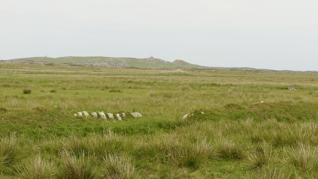
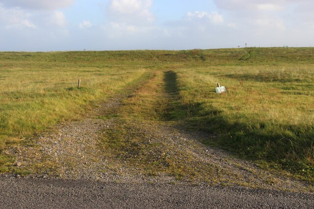
Covering an area of approximately 8 acres, Eilean nan Siolag is known for its rugged and rocky terrain, featuring steep cliffs and a diverse range of flora and fauna. The island is predominantly covered in grasses, heather, and wildflowers, which provide a vibrant and picturesque landscape. The surrounding waters are rich in marine life, attracting a variety of seabirds, such as guillemots, razorbills, and puffins, as well as seals, which can often be spotted lounging on the rocks or swimming in the sea.

Although uninhabited, the island has historical significance, with remnants of ancient settlements and structures found throughout. The ruins of a small chapel and a burial ground serve as a reminder of the island's past inhabitants. Eilean nan Siolag also holds a mystical charm, with legends and tales passed down through generations about the island being enchanted or haunted.

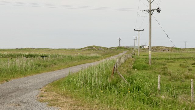
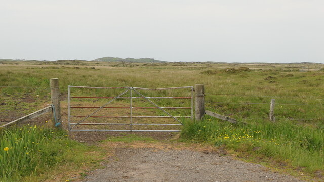
Accessible by boat, Eilean nan Siolag offers visitors a unique opportunity to experience the untouched beauty of Scotland's coastline. The island's tranquil atmosphere and breathtaking views make it a popular destination for nature enthusiasts, photographers, and those seeking a peaceful retreat away from the hustle and bustle of everyday life.

If you have any feedback on the listing, please let us know in the comments section below.

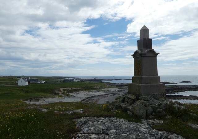
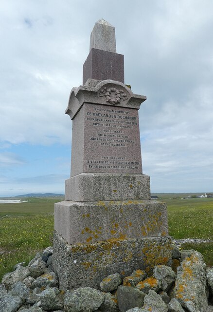
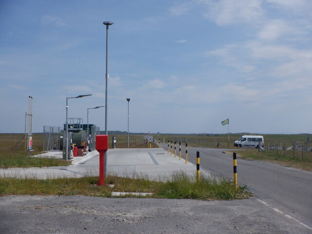
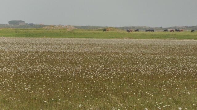
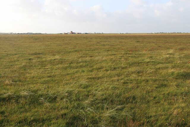
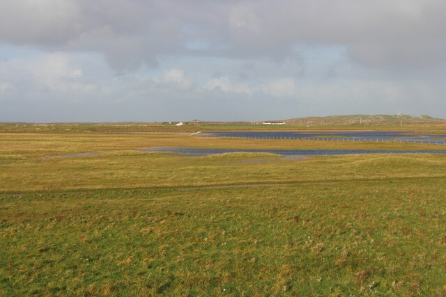
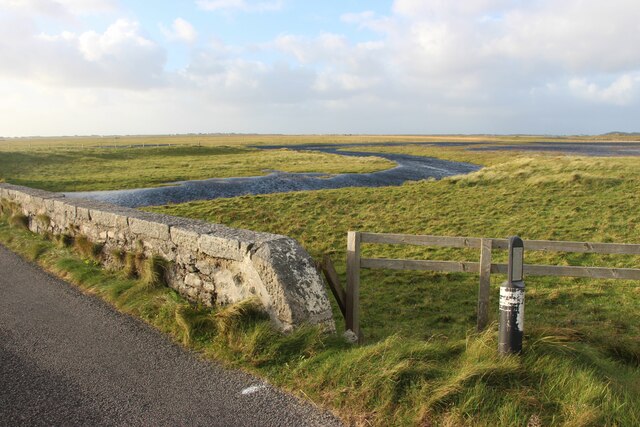
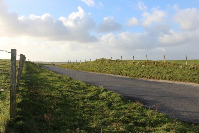
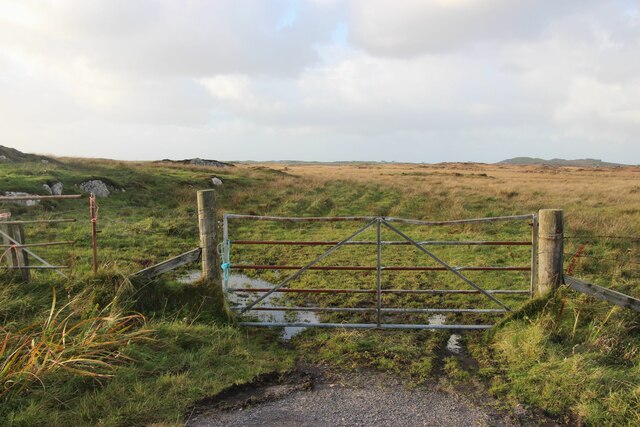
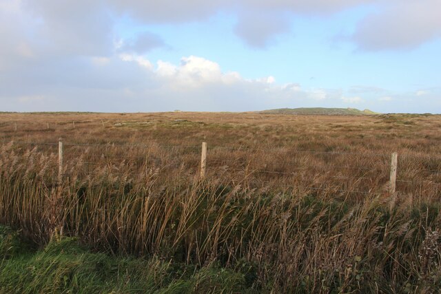
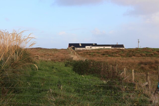
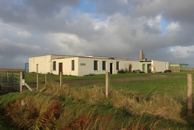
Eilean nan Siolag Images

Images are sourced within 2km of 56.491166/-6.8521102 or Grid Reference NM0143. Thanks to Geograph Open Source API. All images are credited.

Tiree - Buchanan Monument This monument to Alexander Buchanan sits on a little mound at Cnoc Eibrig near the settlement of Baugh, west of Scarinish and is clearly visible from the B8065 which passes it.
For more information including the inscription, see <a href="https://www.geograph.org.uk/photo/6909988">NM0243 : Tiree - Buchanan Monument - Detail with inscription</a>
Tiree - Buchanan Monument
This monument to Alexander Buchanan sits on a little mound at Cnoc Eibrig near the settlement of Baugh, west of Scarinish and is clearly visible from the B8065 which passes it. For more information including the inscription, see NM0243 : Tiree - Buchanan Monument - Detail with inscription
Tiree - Buchanan Monument - Detail with inscription This monument, seen in context here <a href="https://www.geograph.org.uk/photo/6909971">NM0243 : Tiree - Buchanan Monument</a> has the following inscription (all in capitals).

In Loving Memory of
Dr Alexander Buchanan
Born at Callander 4th October 1835
Died at Tiree 29th April 1911
For 51 years
The Medical Officer
And loved and valued friend
of the Islanders
This Monument
is erected to his beloved memory
by friends in Tiree and abroad.
Tiree - Buchanan Monument - Detail with inscription
This monument, seen in context here NM0243 : Tiree - Buchanan Monument has the following inscription (all in capitals). In Loving Memory of Dr Alexander Buchanan Born at Callander 4th October 1835 Died at Tiree 29th April 1911 For 51 years The Medical Officer And loved and valued friend of the Islanders This Monument is erected to his beloved memory by friends in Tiree and abroad.
Tiree filling station By the shop at Crossapol.
Tiree filling station
By the shop at Crossapol.
Machair, Tiree Full of waders and their chicks.  A vast flat area behind Tràigh Bhàgh.
Machair, Tiree
Full of waders and their chicks. A vast flat area behind Tràigh Bhàgh.
Rough grazing, Tiree
Road to Ardachaidh A dead end road into the interior of Tiree.
Road to Ardachaidh
A dead end road into the interior of Tiree.
Road end Beyond, rough grazing and cattle.
Road end
Beyond, rough grazing and cattle.
Track to the beach at Crossapol
Flat interior of Tiree Airport buildings in the background.
Flat interior of Tiree
Airport buildings in the background.
An Fhaodhail, a tidal inlet
B8065 road at Baugh
B8065 road at Baugh
Gateway to the moor at Orisgal
Moor at Cnoc Ibrig
Moor at Cnoc Ibrig
East Baugh
East Baugh
Pottery at Baugh
Pottery at Baugh
Tiree - Airport Terminal Building A view along the entrance path to Tiree's dinky little Airport Terminal. Tiree is such a flat island that they were really rather spoilt for choice as to where to position their airfield - so chose the very centre of the island.
In front of the building beside the path is a steel and granite memorial to a tragic accident here on 16th August 1944 when two Handley Page Halifax aircraft collided over the airfield with the loss of all sixteen crew (8 in each aircraft). Most of the victims were in their twenties, with the youngest being just 20, and the oldest 32. The memorial was unveiled seventy years to the day after the accident by Kenneth Organ, son of the captain of Aircraft LL186 who had the identical name. Other relatives of the crew were also in attendance along with a number of Tiree locals.
For details of this tragedy, see Imperial War Museum website here <span class="nowrap"><a title="https://www.iwm.org.uk/memorials/item/memorial/70741" rel="nofollow ugc noopener" href="https://www.iwm.org.uk/memorials/item/memorial/70741">Link</a><img style="margin-left:2px;" alt="External link" title="External link - shift click to open in new window" src="https://s1.geograph.org.uk/img/external.png" width="10" height="10"/></span>
Some interesting information relating to the airport here <span class="nowrap"><a title="http://www.isleoftiree.com/about-tiree/the-sky" rel="nofollow ugc noopener" href="http://www.isleoftiree.com/about-tiree/the-sky">Link</a><img style="margin-left:2px;" alt="External link" title="External link - shift click to open in new window" src="https://s1.geograph.org.uk/img/external.png" width="10" height="10"/></span>
Tiree - Airport Terminal Building
A view along the entrance path to Tiree's dinky little Airport Terminal. Tiree is such a flat island that they were really rather spoilt for choice as to where to position their airfield - so chose the very centre of the island. In front of the building beside the path is a steel and granite memorial to a tragic accident here on 16th August 1944 when two Handley Page Halifax aircraft collided over the airfield with the loss of all sixteen crew (8 in each aircraft). Most of the victims were in their twenties, with the youngest being just 20, and the oldest 32. The memorial was unveiled seventy years to the day after the accident by Kenneth Organ, son of the captain of Aircraft LL186 who had the identical name. Other relatives of the crew were also in attendance along with a number of Tiree locals. For details of this tragedy, see Imperial War Museum website here LinkExternal link Some interesting information relating to the airport here LinkExternal link
Tiree - Diverted plane gets a recharge We were supposed to leave Tiree at 15:05 on a Twin Otter aeroplane. Unfortunately it had developed an engine problem having left Glasgow so had to return there. So as not to leave us stranded, Loganair diverted a Saab 340 "The Spirit of Benbecula" (seen here) from its trip from Islay to Glasgow to pick us up en-route. We all boarded (along with the Islay passengers), but a second piece of misfortune struck, as the Saab did not have enough power in its batteries to turn over the propellers for a re-start. A ground unit was required to pump sufficient juice into the plane's batteries to get it going. We all disembarked the plane and sun-bathed in the beautiful afternoon Tiree sunshine, awaiting developments:
After a while they managed to locate a generator at Tiree's little airport - but there was a problem: the generator was on the back of a van ... and the van's engine was seized. 
That is why, in this image you can see a large green tractor. The tractor had towed the poorly van into place so that it could charge the batteries on the poorly plane. We eventually left at 19:05 - four hours late. Fortunately we had enough leeway to make our connection in Glasgow - the same was not true for all of the diverted Islay passengers.
Tiree - Diverted plane gets a recharge
We were supposed to leave Tiree at 15:05 on a Twin Otter aeroplane. Unfortunately it had developed an engine problem having left Glasgow so had to return there. So as not to leave us stranded, Loganair diverted a Saab 340 "The Spirit of Benbecula" (seen here) from its trip from Islay to Glasgow to pick us up en-route. We all boarded (along with the Islay passengers), but a second piece of misfortune struck, as the Saab did not have enough power in its batteries to turn over the propellers for a re-start. A ground unit was required to pump sufficient juice into the plane's batteries to get it going. We all disembarked the plane and sun-bathed in the beautiful afternoon Tiree sunshine, awaiting developments: After a while they managed to locate a generator at Tiree's little airport - but there was a problem: the generator was on the back of a van ... and the van's engine was seized. That is why, in this image you can see a large green tractor. The tractor had towed the poorly van into place so that it could charge the batteries on the poorly plane. We eventually left at 19:05 - four hours late. Fortunately we had enough leeway to make our connection in Glasgow - the same was not true for all of the diverted Islay passengers.
Show me another place!

Eilean nan Siolag is located at Grid Ref: NM0143 (Lat: 56.491166, Lng: -6.8521102)

Unitary Authority: Argyll and Bute

Police Authority: Argyll and West Dunbartonshire

What 3 Words

///roadblock.chained.ports. Near Scarinish, Argyll & Bute

Related Wikis

Tiree Airport

Tiree Airport (Scottish Gaelic: Port-adhair Thiriodh) (IATA: TRE, ICAO: EGPU) is located 2.5 nautical miles (4.6 km; 2.9 mi) north northeast of Balemartine...

Tiree Music Festival

Tiree Music Festival is a Scottish folk music festival held annually on the Island of Tiree in the Inner Hebrides. The festival was founded in 2010 by...

Scarinish

Scarinish (Scottish Gaelic: Sgairinis [ˈs̪kaɾʲɪnɪʃ]) is the main village on the island of Tiree, in the Inner Hebrides of Scotland. It is located on the...

Tiree

Tiree (; Scottish Gaelic: Tiriodh, pronounced [ˈtʲʰiɾʲəɣ]) is the most westerly island in the Inner Hebrides of Scotland. The low-lying island, southwest...

Mannal

Mannal is a coastal hamlet on the west side of Hynish Bay, on the island of Tiree, Scotland. The township of Mannal lies on the southwest corner of Tiree...

Dun Mor Vaul

Dun Mor Vaul (or simply Dun Mor; Scottish Gaelic: Dùn Mòr) is an iron-age broch located on the north coast of the island of Tiree, in Scotland. ��2�...

Nearby Amenities

Located within 500m of 56.491166,-6.8521102
Barrier: cattle_grid
Lat/Long: 56.4933909/-6.8488872
Passing Place
Lat/Long: 56.494456/-6.8555773
Passing Place
Lat/Long: 56.4940253/-6.8530327
Passing Place
Lat/Long: 56.4936788/-6.8512864
Passing Place
Lat/Long: 56.4933809/-6.8486303
Passing Place
Lat/Long: 56.4933189/-6.8473005
An t-Àrd
Ele: 10
Natural: cape
Lat/Long: 56.4903622/-6.8453465
The data included in this document is from www.openstreetmap.org. The data is made available under ODbL.

Have you been to Eilean nan Siolag?

Leave your review of Eilean nan Siolag below (or comments, questions and feedback).