Gorrabhair Bheag
Coastal Feature, Headland, Point in Ross-shire
Scotland
Gorrabhair Bheag

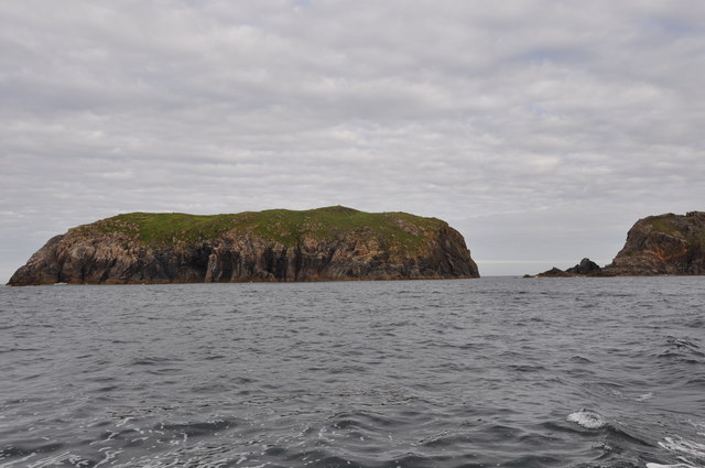
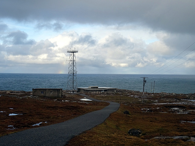
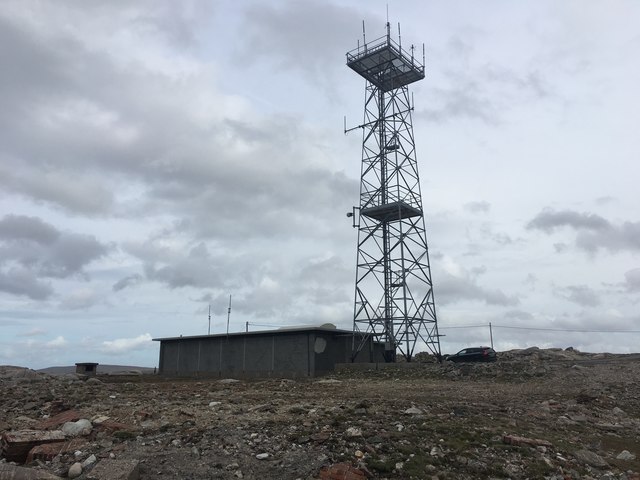
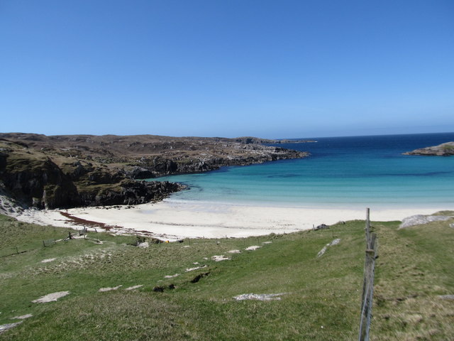
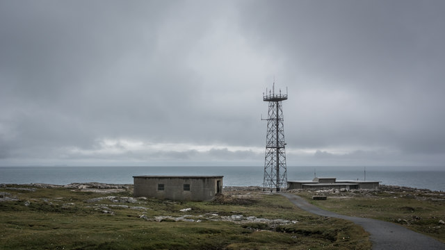
Gorrabhair Bheag, located in Ross-shire, Scotland, is a stunning coastal feature known for its unique and picturesque headland. Situated on the northern coast of the country, Gorrabhair Bheag is a point that extends out into the North Atlantic Ocean, offering breathtaking views of the surrounding landscape.
The headland is characterized by its rugged cliffs, which rise majestically from the sea, creating an impressive sight. These cliffs are composed of ancient rock formations, showcasing the geological history of the area. They are often adorned with vibrant vegetation, such as heather and grasses, adding to the visual appeal.
The coastal feature is also home to a diverse range of wildlife, making it a popular destination for nature enthusiasts. Seabirds, including puffins and gannets, can often be spotted nesting on the cliffs, while seals and dolphins can be seen swimming in the waters below.
Visitors to Gorrabhair Bheag can enjoy exploring the area's walking trails, which offer stunning vistas and opportunities to connect with nature. The headland also provides an excellent vantage point for watching the waves crash against the cliffs, creating a dramatic and awe-inspiring spectacle.
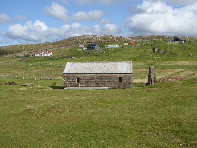
In addition to its natural beauty, Gorrabhair Bheag holds historical significance. The area is known to have had human settlements dating back centuries, with ancient ruins and structures still visible today. These remnants serve as a reminder of the area's rich cultural heritage.
Overall, Gorrabhair Bheag is a remarkable coastal feature, offering a perfect blend of natural beauty, wildlife, and historical charm. Whether visitors are seeking a peaceful retreat or an outdoor adventure, this headland promises an unforgettable experience.
If you have any feedback on the listing, please let us know in the comments section below.
Gorrabhair Bheag Images
Images are sourced within 2km of 58.181786/-7.0797631 or Grid Reference NB0132. Thanks to Geograph Open Source API. All images are credited.


Gorrabhair Bheag is located at Grid Ref: NB0132 (Lat: 58.181786, Lng: -7.0797631)
Unitary Authority: Na h-Eileanan an Iar
Police Authority: Highlands and Islands
What 3 Words
///ramps.typical.double. Near Carloway, Na h-Eileanan Siar
Related Wikis

Stac Dhòmhnaill Chaim
Stac Dhòmnuill Chaim, or Stac Dhòmhnaill Chaim, or Stac Domhnuill Chaim, is a fortified promontory located near Mangursta (or Mangersta, Scottish Gaelic...

Abhainn Dearg distillery
Abhainn Dearg distillery ( AV-in JAIRG) or Red River distillery is a Scotch whisky distillery in Uig, on the west coast of the Isle of Lewis in the Outer...

Ardroil
Ardroil (Scottish Gaelic: Eadar Dhà Fhadhail) is a village on the Isle of Lewis in the Outer Hebrides, Scotland. Ardroil is within the parish of Uig....

Uig, Lewis
Uig (Scottish Gaelic: Ùig [uːkʲ]), also known as Sgìr' Ùig, is a civil parish and community in the west of the Isle of Lewis in the Outer Hebrides, Scotland...
Have you been to Gorrabhair Bheag?
Leave your review of Gorrabhair Bheag below (or comments, questions and feedback).