Gorrabhair Mhòr
Coastal Feature, Headland, Point in Ross-shire
Scotland
Gorrabhair Mhòr

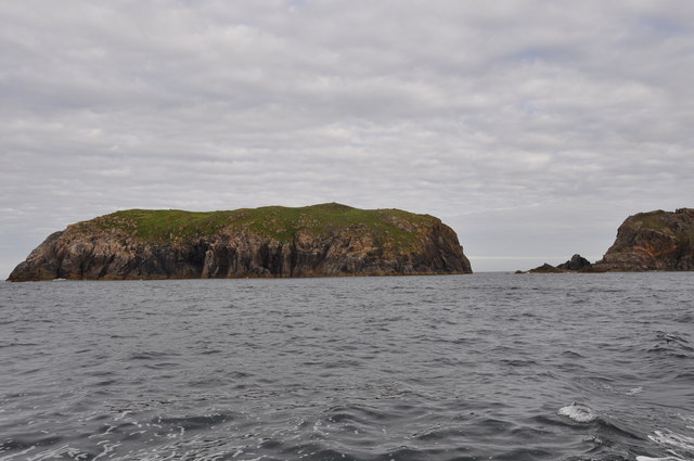
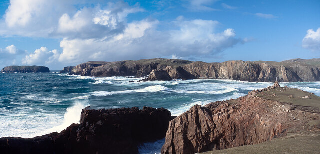
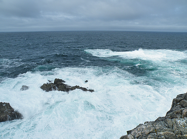
Gorrabhair Mhòr is a prominent coastal feature located in Ross-shire, Scotland. It is a headland or point that stretches out into the North Atlantic Ocean, offering breathtaking views of the surrounding coastline. The name Gorrabhair Mhòr is derived from Scottish Gaelic, with "gorrabhair" meaning "rough" or "rugged" and "mhòr" meaning "big" or "great", accurately describing the nature of this coastal landmark.
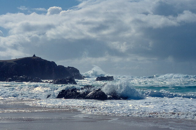
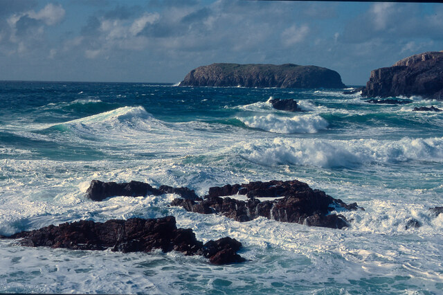
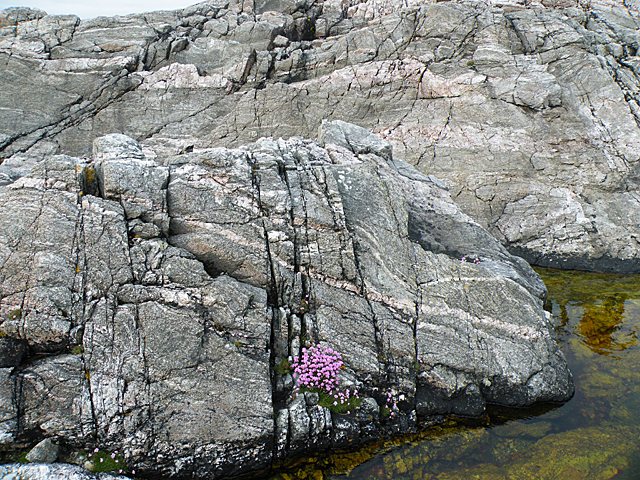
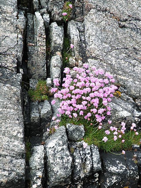
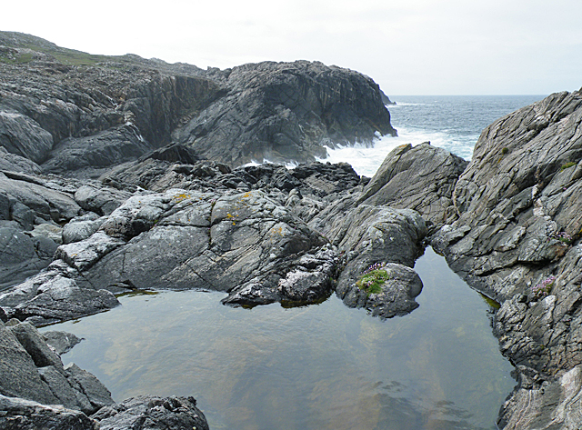
The headland is characterized by its steep cliffs, which rise dramatically from the sea, creating a stunning landscape. The cliffs are composed of rugged rock formations, shaped by years of erosion caused by the powerful waves crashing against them. Gorrabhair Mhòr stands as a testament to the natural forces that have shaped the Scottish coastline.
The headland is also known for its diverse wildlife. The surrounding waters are home to a variety of marine species, including seals, dolphins, and seabirds. The cliffs provide nesting sites for seabird colonies such as puffins, guillemots, and razorbills. Birdwatchers and nature enthusiasts often visit Gorrabhair Mhòr to observe these fascinating creatures in their natural habitat.
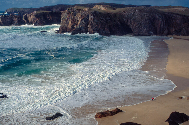
Gorrabhair Mhòr is a popular destination for outdoor activities such as hiking and photography. There are walking trails that lead visitors along the cliff tops, allowing them to enjoy the panoramic views of the ocean and the rugged coastline. The headland also offers a sense of tranquility and solitude, as it is relatively untouched by human development.
In conclusion, Gorrabhair Mhòr is a magnificent coastal feature in Ross-shire, Scotland. Its rugged cliffs, diverse wildlife, and stunning views make it a must-visit destination for nature lovers and outdoor enthusiasts.
If you have any feedback on the listing, please let us know in the comments section below.
Gorrabhair Mhòr Images
Images are sourced within 2km of 58.179571/-7.079804 or Grid Reference NB0132. Thanks to Geograph Open Source API. All images are credited.


Gorrabhair Mhòr is located at Grid Ref: NB0132 (Lat: 58.179571, Lng: -7.079804)
Unitary Authority: Na h-Eileanan an Iar
Police Authority: Highlands and Islands
What 3 Words
///onions.homecare.reverses. Near Carloway, Na h-Eileanan Siar
Related Wikis

Stac Dhòmhnaill Chaim
Stac Dhòmnuill Chaim, or Stac Dhòmhnaill Chaim, or Stac Domhnuill Chaim, is a fortified promontory located near Mangursta (or Mangersta, Scottish Gaelic...

Abhainn Dearg distillery
Abhainn Dearg distillery ( AV-in JAIRG) or Red River distillery is a Scotch whisky distillery in Uig, on the west coast of the Isle of Lewis in the Outer...

Ardroil
Ardroil (Scottish Gaelic: Eadar Dhà Fhadhail) is a village on the Isle of Lewis in the Outer Hebrides, Scotland. Ardroil is within the parish of Uig....

Uig, Lewis
Uig (Scottish Gaelic: Ùig [uːkʲ]), also known as Sgìr' Ùig, is a civil parish and community in the west of the Isle of Lewis in the Outer Hebrides, Scotland...

Timsgarry
Timsgarry (Scottish Gaelic: Tuimisgearraidh) is a village on the Isle of Lewis, in the Outer Hebrides, Scotland. Timsgarry is home to the Baile na Cille...

Gasker
Gasker is a small uninhabited islet in the Outer Hebrides of Scotland, 8 kilometres (4+1⁄2 nautical miles) southwest of Scarp, off the west coast of Harris...
Camas Uig
Camas Uig (Uig Bay) is a bay on the west coast of the Isle of Lewis, in the Outer Hebrides of Scotland. The Lewis Chessmen were discovered in the dunes...

Aird Uig
Aird Uig (Scottish Gaelic: Àird Ùig) is a village on the Isle of Lewis, in the Outer Hebrides, Scotland. Aird Uig is within the parish of Uig, and is situated...
Have you been to Gorrabhair Mhòr?
Leave your review of Gorrabhair Mhòr below (or comments, questions and feedback).