Creagan a' Sgoir
Coastal Feature, Headland, Point in Ross-shire
Scotland
Creagan a' Sgoir

Creagan a' Sgoir is a prominent coastal feature located in Ross-shire, Scotland. It is a headland that extends out into the North Sea, forming a distinctive point along the coastline. The name "Creagan a' Sgoir" translates to "the rocky promontory" in Gaelic, which accurately describes the geological makeup of this feature.
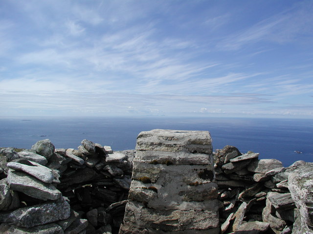
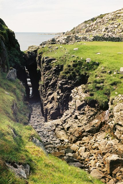
Rising to an elevation of approximately 100 meters, Creagan a' Sgoir offers stunning panoramic views of the surrounding landscape. The rugged cliffs and rocky outcrops that characterize the headland create a dramatic and picturesque scene. These cliffs are composed of various types of rock, including sandstone and conglomerate, which have been shaped over millions of years by the relentless pounding of the waves.
The headland is home to a rich array of flora and fauna, with several species of seabirds nesting in the steep cliffs. Visitors can often spot gulls, fulmars, and even the occasional puffin during the breeding season. The surrounding waters are also teeming with marine life, making it a popular spot for fishing and diving enthusiasts.
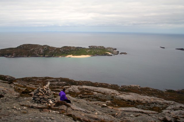
Creagan a' Sgoir is easily accessible by foot, with a well-maintained coastal path that leads to the headland. The path offers hikers a chance to explore the rugged coastline and enjoy the breathtaking views along the way. Additionally, there are picnic areas and benches strategically placed for visitors to relax and soak in the natural beauty of the area.
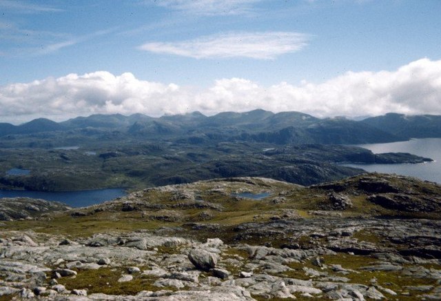
Overall, Creagan a' Sgoir is a remarkable coastal feature that showcases the raw beauty of the Scottish coastline. Its towering cliffs, diverse wildlife, and awe-inspiring views make it a must-visit destination for nature lovers and outdoor enthusiasts alike.
If you have any feedback on the listing, please let us know in the comments section below.
Creagan a' Sgoir Images
Images are sourced within 2km of 58.069256/-7.0815769 or Grid Reference NB0020. Thanks to Geograph Open Source API. All images are credited.


Creagan a' Sgoir is located at Grid Ref: NB0020 (Lat: 58.069256, Lng: -7.0815769)
Unitary Authority: Na h-Eileanan an Iar
Police Authority: Highlands and Islands
What 3 Words
///detergent.denoting.daylight. Near Tarbert, Na h-Eileanan Siar
Nearby Locations
Related Wikis

Eilean Mhealasta
Eilean Mhealasta (Mealista Island) is an uninhabited island off the west coast of Lewis in the Outer Hebrides of Scotland. It takes its name from Mealista...

Game pieces of the Lewis chessmen hoard
Game pieces of the Lewis chessmen hoard include the ninety-three game pieces of the Lewis chessmen hoard found on the Isle of Lewis in the Outer Hebrides...

Mealista
Mealista (Scottish Gaelic: Mealasta) was a township in the west of the Isle of Lewis. It is currently largely uninhabited due to the Highland Clearances...

Scarp, Scotland
Scarp (Scottish Gaelic: An Sgarp) is an uninhabited island in the Outer Hebrides of Scotland, west of Hushinish on Harris. Once inhabited, the island was...
Nearby Amenities
Located within 500m of 58.069256,-7.0815769Have you been to Creagan a' Sgoir?
Leave your review of Creagan a' Sgoir below (or comments, questions and feedback).