Aonaig Mhòr Tamna Siar
Coastal Feature, Headland, Point in Ross-shire
Scotland
Aonaig Mhòr Tamna Siar

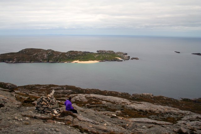
Aonaig Mhòr Tamna Siar is a prominent coastal feature located in the county of Ross-shire in Scotland. It is a headland that juts out into the sea, forming a distinct point along the coastline. The name Aonaig Mhòr Tamna Siar comes from the Gaelic language and translates to "big bay of the west-facing knoll."
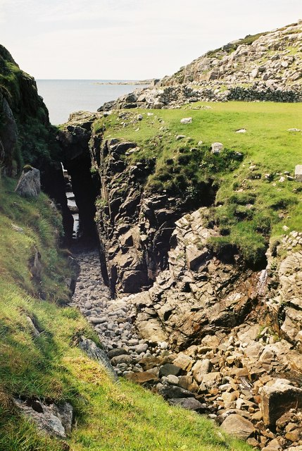
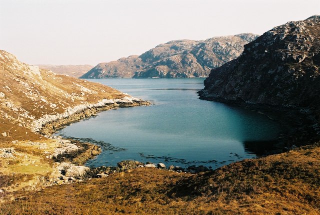
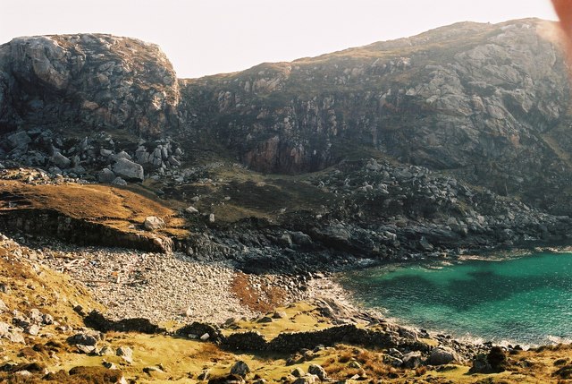
The headland is characterized by its rugged and dramatic cliffs that rise steeply from the sea, offering breathtaking views of the surrounding landscape. The cliffs are composed of ancient rock formations, displaying layers of sedimentary rock that have been shaped by millions of years of geological processes.
Aonaig Mhòr Tamna Siar is known for its rich biodiversity and is home to a variety of plant and animal species. The exposed cliffs provide nesting sites for seabirds such as gannets, puffins, and guillemots. Visitors to the area can often spot these birds soaring above the waves or perched on the rocky ledges.
In addition to its natural beauty, Aonaig Mhòr Tamna Siar also holds historical significance. The headland has been inhabited for centuries, and archaeological remains have been found in the surrounding areas, including ancient burial sites and ruins of old settlements.
The headland is a popular destination for tourists and nature enthusiasts who come to explore its stunning coastal scenery, observe the wildlife, and learn about its cultural heritage. Aonaig Mhòr Tamna Siar offers a captivating blend of natural wonders and historical treasures, making it a must-visit location for anyone exploring the Ross-shire coastline.
If you have any feedback on the listing, please let us know in the comments section below.
Aonaig Mhòr Tamna Siar Images
Images are sourced within 2km of 58.066042/-7.0809494 or Grid Reference NB0019. Thanks to Geograph Open Source API. All images are credited.


Aonaig Mhòr Tamna Siar is located at Grid Ref: NB0019 (Lat: 58.066042, Lng: -7.0809494)
Unitary Authority: Na h-Eileanan an Iar
Police Authority: Highlands and Islands
What 3 Words
///chairing.rewarded.card. Near Tarbert, Na h-Eileanan Siar
Related Wikis

Eilean Mhealasta
Eilean Mhealasta (Mealista Island) is an uninhabited island off the west coast of Lewis in the Outer Hebrides of Scotland. It takes its name from Mealista...

Game pieces of the Lewis chessmen hoard
Game pieces of the Lewis chessmen hoard include the ninety-three game pieces of the Lewis chessmen hoard found on the Isle of Lewis in the Outer Hebrides...

Mealista
Mealista (Scottish Gaelic: Mealasta) was a township in the west of the Isle of Lewis. It is currently largely uninhabited due to the Highland Clearances...

Scarp, Scotland
Scarp (Scottish Gaelic: An Sgarp) is an uninhabited island in the Outer Hebrides of Scotland, west of Hushinish on Harris. Once inhabited, the island was...
Nearby Amenities
Located within 500m of 58.066042,-7.0809494Have you been to Aonaig Mhòr Tamna Siar?
Leave your review of Aonaig Mhòr Tamna Siar below (or comments, questions and feedback).