Lag Stidhegeadh
Coastal Feature, Headland, Point in Ross-shire
Scotland
Lag Stidhegeadh

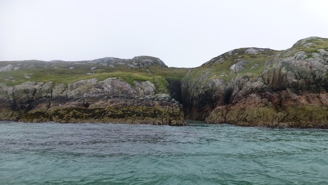
Lag Stidhegeadh is a prominent coastal feature located in Ross-shire, Scotland. This headland, also referred to as a point, is situated on the northwestern coast of the country, overlooking the Atlantic Ocean. Its geographical coordinates are approximately 57.857°N latitude and 5.454°W longitude.
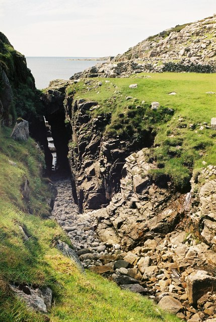
The name "Lag Stidhegeadh" is of Gaelic origin, which translates to "Hill of the Hinds." This name is likely derived from the presence of red deer, known as hinds, in the area. The headland is characterized by rugged cliffs that rise steeply from the sea, offering breathtaking views of the surrounding coastal landscape.
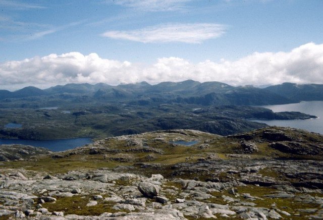
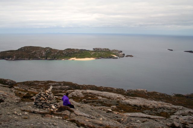
Lag Stidhegeadh is a popular destination for nature enthusiasts and hikers due to its stunning natural beauty and diverse wildlife. The area is home to various seabirds, including puffins, gulls, and fulmars, which can be observed nesting along the cliffs. Visitors may also spot seals and dolphins swimming in the waters below.
In addition to its natural attractions, Lag Stidhegeadh holds historical significance. The headland is dotted with ancient ruins, such as the remains of Iron Age settlements and Viking burial sites, providing insights into the area's rich cultural heritage.
Access to Lag Stidhegeadh is relatively easy, with a well-maintained coastal path allowing visitors to explore the headland on foot. The nearby town of Ullapool offers amenities such as accommodation, dining, and shops for those wishing to extend their stay in the area.
Overall, Lag Stidhegeadh is a captivating coastal feature that showcases Scotland's rugged beauty, offering both natural and historical attractions for visitors to enjoy.
If you have any feedback on the listing, please let us know in the comments section below.
Lag Stidhegeadh Images
Images are sourced within 2km of 58.069413/-7.0873214 or Grid Reference NB0020. Thanks to Geograph Open Source API. All images are credited.


Lag Stidhegeadh is located at Grid Ref: NB0020 (Lat: 58.069413, Lng: -7.0873214)
Unitary Authority: Na h-Eileanan an Iar
Police Authority: Highlands and Islands
What 3 Words
///copper.gravel.trump. Near Tarbert, Na h-Eileanan Siar
Nearby Locations
Related Wikis

Eilean Mhealasta
Eilean Mhealasta (Mealista Island) is an uninhabited island off the west coast of Lewis in the Outer Hebrides of Scotland. It takes its name from Mealista...

Mealista
Mealista (Scottish Gaelic: Mealasta) was a township in the west of the Isle of Lewis. It is currently largely uninhabited due to the Highland Clearances...

Game pieces of the Lewis chessmen hoard
Game pieces of the Lewis chessmen hoard include the ninety-three game pieces of the Lewis chessmen hoard found on the Isle of Lewis in the Outer Hebrides...

Scarp, Scotland
Scarp (Scottish Gaelic: An Sgarp) is an uninhabited island in the Outer Hebrides of Scotland, west of Hushinish on Harris. Once inhabited, the island was...
Nearby Amenities
Located within 500m of 58.069413,-7.0873214Have you been to Lag Stidhegeadh?
Leave your review of Lag Stidhegeadh below (or comments, questions and feedback).