Tamna Siar
Sea, Estuary, Creek in Ross-shire
Scotland
Tamna Siar

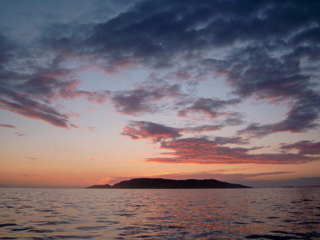
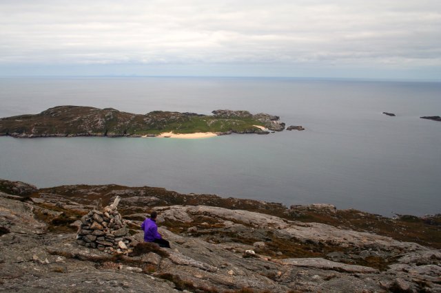
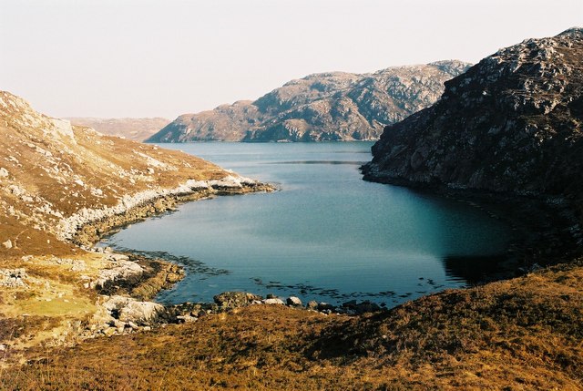
Tamna Siar is a picturesque coastal area located in the northwest of Ross-shire, Scotland. Nestled between the larger towns of Ullapool and Gairloch, Tamna Siar offers breathtaking views of the sea, estuary, and creek that make it a popular destination for nature enthusiasts and outdoor adventurers alike.
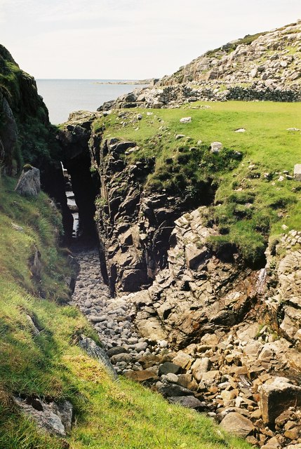
The area is characterized by its rugged coastline, with rocky cliffs and sandy beaches that provide a diverse range of habitats for a variety of wildlife. The sea surrounding Tamna Siar is known for its crystal-clear waters, making it a haven for snorkelers and divers looking to explore the underwater world.
Tamna Siar is also home to a thriving estuary, where the river meets the sea. This unique ecosystem attracts a wide range of bird species, including herons, oystercatchers, and curlews, making it a paradise for birdwatchers. The estuary is also an important breeding ground for fish, such as salmon and sea trout.
In addition to the sea and estuary, Tamna Siar boasts a charming creek that winds through the landscape. The creek provides a peaceful setting for leisurely walks and picnics, with its tranquil waters reflecting the surrounding greenery.
Outdoor activities abound in Tamna Siar, with opportunities for hiking, kayaking, and fishing readily available. Visitors can explore the numerous walking trails that crisscross the area, offering stunning panoramic views of the sea and surrounding countryside.
With its diverse coastal landscapes and abundant wildlife, Tamna Siar is a hidden gem in Ross-shire, offering a perfect escape for those seeking to immerse themselves in nature's beauty.
If you have any feedback on the listing, please let us know in the comments section below.
Tamna Siar Images
Images are sourced within 2km of 58.067441/-7.0882458 or Grid Reference NB0020. Thanks to Geograph Open Source API. All images are credited.


Tamna Siar is located at Grid Ref: NB0020 (Lat: 58.067441, Lng: -7.0882458)
Unitary Authority: Na h-Eileanan an Iar
Police Authority: Highlands and Islands
What 3 Words
///confronts.lung.kick. Near Tarbert, Na h-Eileanan Siar
Nearby Locations
Related Wikis

Eilean Mhealasta
Eilean Mhealasta (Mealista Island) is an uninhabited island off the west coast of Lewis in the Outer Hebrides of Scotland. It takes its name from Mealista...

Game pieces of the Lewis chessmen hoard
The game pieces of the Lewis chessmen hoard consist of ninety-three game pieces of the Lewis chessmen found on the Isle of Lewis in the Outer Hebrides...

Mealista
Mealista (Scottish Gaelic: Mealasta) was a township in the west of the Isle of Lewis. It is currently largely uninhabited due to the Highland Clearances...

Scarp, Scotland
Scarp (Scottish Gaelic: An Sgarp) is an uninhabited island in the Outer Hebrides of Scotland, west of Hushinish on Harris. Once inhabited, the island was...
Nearby Amenities
Located within 500m of 58.067441,-7.0882458Have you been to Tamna Siar?
Leave your review of Tamna Siar below (or comments, questions and feedback).