Smioranais
Coastal Feature, Headland, Point in Inverness-shire
Scotland
Smioranais
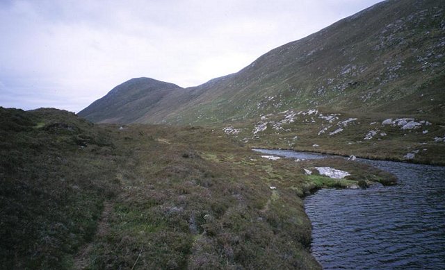
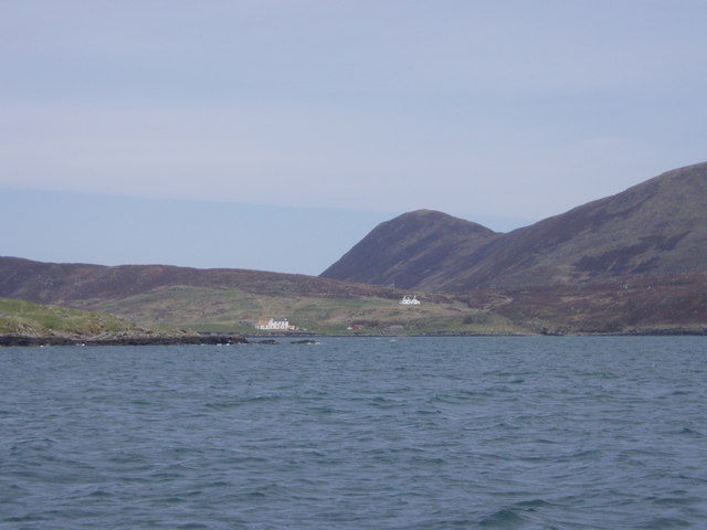
Smioranais is a picturesque coastal feature located in Inverness-shire, Scotland. Situated on the west coast of the Highlands, it is a headland or point that offers breathtaking views of the surrounding landscape and the vast Atlantic Ocean.
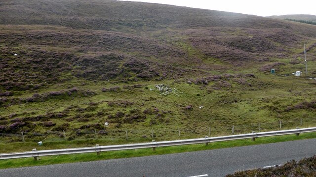
This headland is characterized by rugged cliffs that stand tall against the crashing waves. Smioranais is known for its dramatic rock formations, which have been shaped by years of erosion caused by the powerful force of the sea. These geological features provide a unique and stunning backdrop to the area.
The headland is blessed with diverse flora and fauna, making it a haven for nature enthusiasts. Seabirds such as gannets, puffins, and razorbills can be spotted nesting on the cliffs, while seals and dolphins are often seen frolicking in the waters below. The surrounding waters are also rich in marine life, with fishermen often trying their luck to catch a variety of fish species.
The beauty and tranquility of Smioranais make it a popular spot for outdoor activities. Many visitors enjoy exploring the headland on foot, following the winding coastal paths that offer panoramic views of the surrounding area. The more adventurous can take part in rock climbing or abseiling, using the rugged cliffs as their playground.
Overall, Smioranais is a captivating coastal feature in Inverness-shire, offering visitors a chance to immerse themselves in the stunning natural beauty of the Scottish Highlands. Whether it's the dramatic cliffs, diverse wildlife, or outdoor activities, this headland has something to offer for everyone.
If you have any feedback on the listing, please let us know in the comments section below.
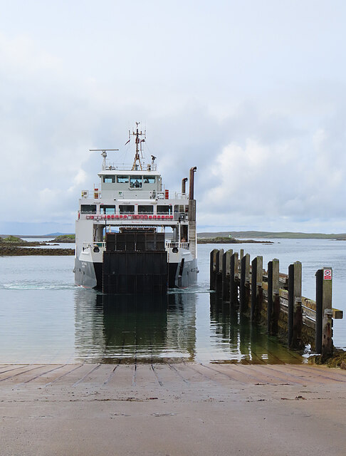
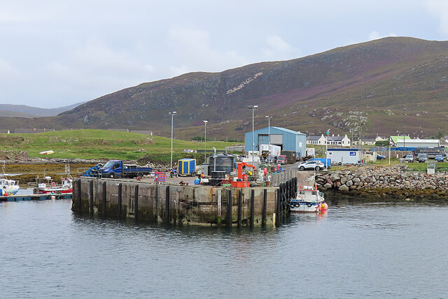
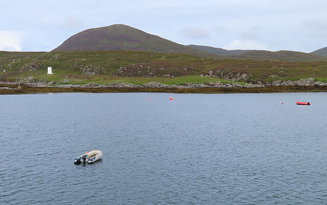
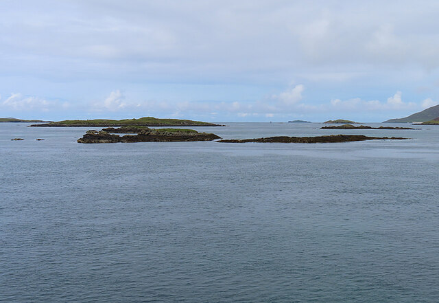
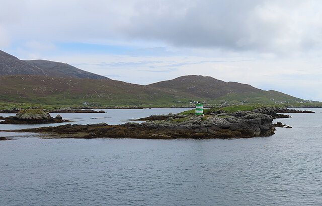
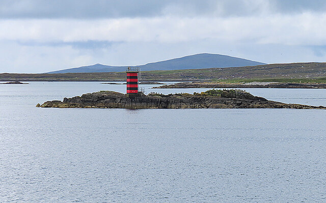
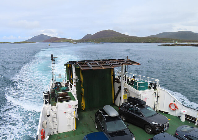
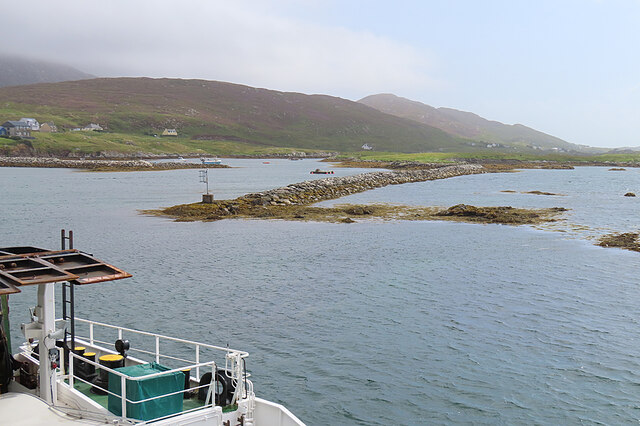
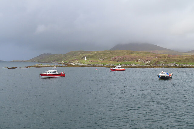
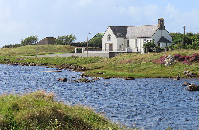
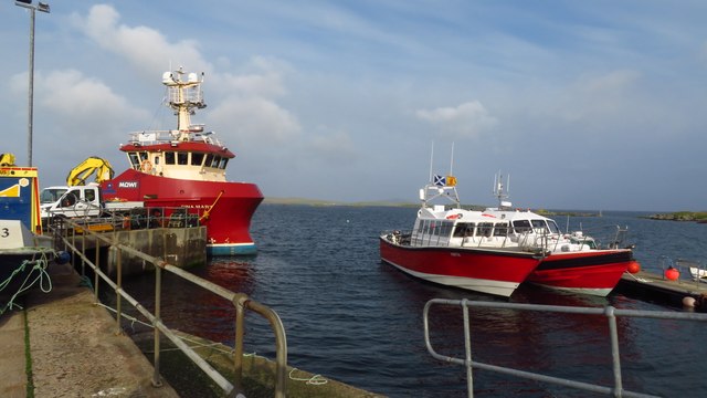
Smioranais Images
Images are sourced within 2km of 57.774595/-7.0444317 or Grid Reference NG0087. Thanks to Geograph Open Source API. All images are credited.
Smioranais is located at Grid Ref: NG0087 (Lat: 57.774595, Lng: -7.0444317)
Unitary Authority: Na h-Eileanan an Iar
Police Authority: Highlands and Islands
What 3 Words
///motive.fitter.lengthen. Near Leverburgh, Na h-Eileanan Siar
Nearby Locations
Related Wikis

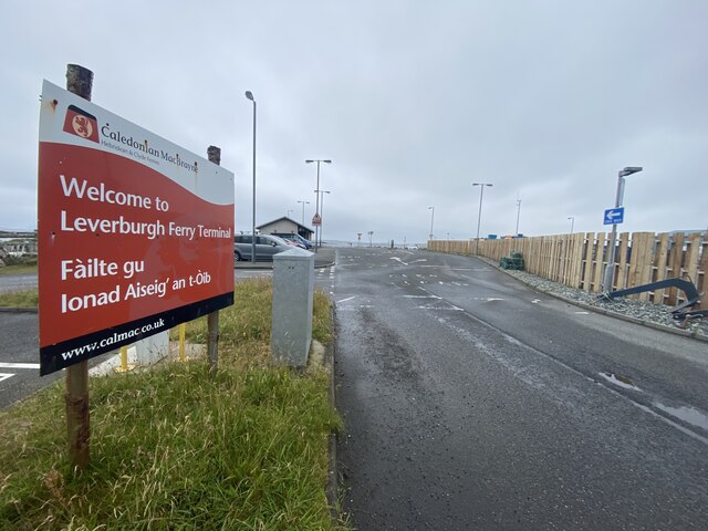
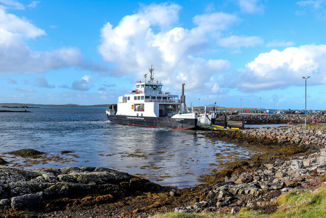
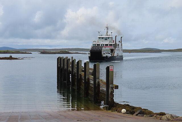
Leverburgh
Leverburgh (Scottish Gaelic: An t-Òb [ən̪ˠ ˈt̪ɔːp]) is the second largest village, after Tarbert, in Harris in the Outer Hebrides of Scotland. Leverburgh...

Outer Hebrides
The Outer Hebrides ( HEB-rid-eez) or Western Isles (Scottish Gaelic: na h-Eileanan Siar [nə ˈhelanən ˈʃiəɾ] , na h-Eileanan an Iar [nə ˈhelanən əɲ ˈiəɾ...

Ensay (Outer Hebrides)
Ensay (Gaelic Easaigh) is a currently unpopulated and privately owned island in the Outer Hebrides of Scotland. The island lies in the Sound of Harris...

1990 Scotland RAF Shackleton crash
On 30 April 1990, a Royal Air Force Avro Shackleton AEW Mk II aircraft, of No. 8 Squadron RAF, based at RAF Lossiemouth, crashed into a hill on the Isle...
Nearby Amenities
Located within 500m of 57.774595,-7.0444317Have you been to Smioranais?
Leave your review of Smioranais below (or comments, questions and feedback).