Rubha nan Caorach
Coastal Feature, Headland, Point in Ross-shire
Scotland
Rubha nan Caorach

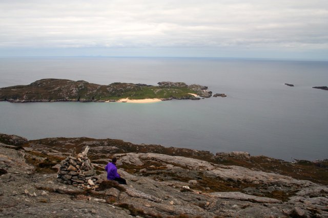
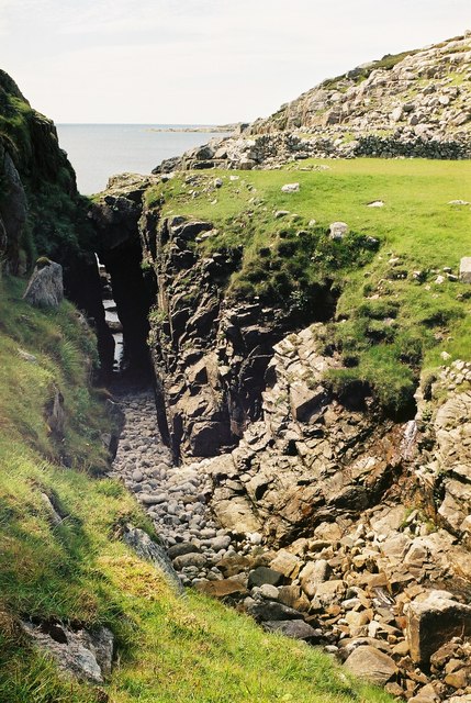
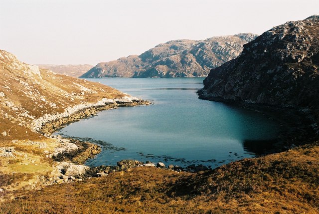
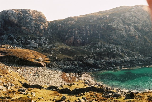
Rubha nan Caorach is a prominent headland located in Ross-shire, Scotland. Situated on the coast, it juts out into the North Atlantic Ocean, offering stunning panoramic views of the surrounding landscape. The headland is characterized by its rugged cliffs, rocky shorelines, and picturesque beaches, making it a popular destination for nature enthusiasts and photographers.
The name Rubha nan Caorach translates to "Headland of the Sheep" in Gaelic, suggesting a historical connection to sheep farming in the area. The headland is encompassed by a diverse range of habitats, including grassy meadows, heathland, and pockets of woodland, providing a rich environment for a variety of flora and fauna.
Visitors to Rubha nan Caorach can explore the headland by following well-defined walking trails that wind their way around the coastline. Along the way, they may encounter various bird species, such as gulls, oystercatchers, and terns, as well as sea mammals like seals and dolphins. The headland also offers opportunities for fishing, with its rocky outcrops providing ideal spots for anglers.
One of the notable features of Rubha nan Caorach is its lighthouse, which stands proudly on the headland. Built in the 19th century, the lighthouse serves as an important navigational aid for ships passing through the area. Its iconic white tower against the backdrop of the turquoise sea creates a striking visual spectacle.
Overall, Rubha nan Caorach showcases the rugged beauty of Scotland's coastline, providing a serene and captivating experience for those who venture to its shores.
If you have any feedback on the listing, please let us know in the comments section below.
Rubha nan Caorach Images
Images are sourced within 2km of 58.06457/-7.0853576 or Grid Reference NB0019. Thanks to Geograph Open Source API. All images are credited.


Rubha nan Caorach is located at Grid Ref: NB0019 (Lat: 58.06457, Lng: -7.0853576)
Unitary Authority: Na h-Eileanan an Iar
Police Authority: Highlands and Islands
What 3 Words
///shin.drape.huddling. Near Tarbert, Na h-Eileanan Siar
Related Wikis

Eilean Mhealasta
Eilean Mhealasta (Mealista Island) is an uninhabited island off the west coast of Lewis in the Outer Hebrides of Scotland. It takes its name from Mealista...

Game pieces of the Lewis chessmen hoard
The game pieces of the Lewis chessmen hoard consist of ninety-three game pieces of the Lewis chessmen found on the Isle of Lewis in the Outer Hebrides...

Mealista
Mealista (Scottish Gaelic: Mealasta) was a township in the west of the Isle of Lewis. It is currently largely uninhabited due to the Highland Clearances...

Scarp, Scotland
Scarp (Scottish Gaelic: An Sgarp) is an uninhabited island in the Outer Hebrides of Scotland, west of Hushinish on Harris. Once inhabited, the island was...
Nearby Amenities
Located within 500m of 58.06457,-7.0853576Have you been to Rubha nan Caorach?
Leave your review of Rubha nan Caorach below (or comments, questions and feedback).