Loch na Creadha
Lake, Pool, Pond, Freshwater Marsh in Inverness-shire
Scotland
Loch na Creadha
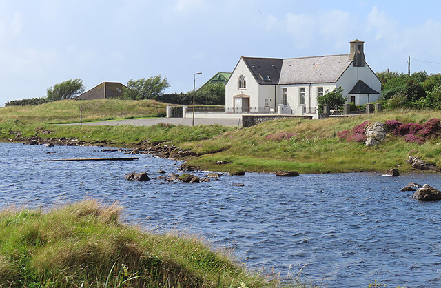
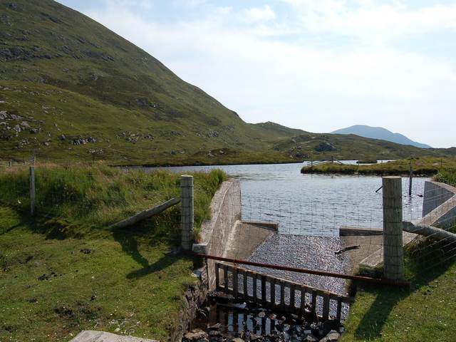
Loch na Creadha is a picturesque freshwater loch located in Inverness-shire, Scotland. Nestled amidst the stunning Highland scenery, it is a popular destination for nature enthusiasts and visitors seeking tranquility. The loch covers an area of approximately 2 hectares and has a maximum depth of around 10 meters.
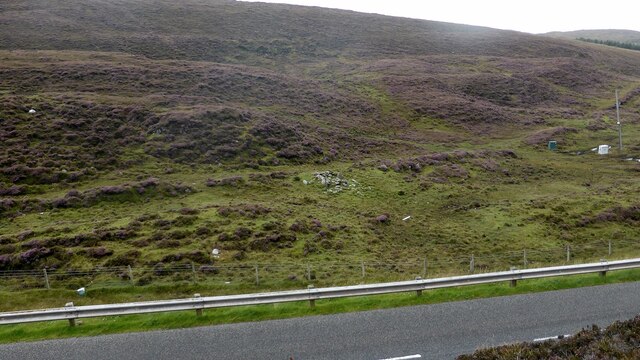
Surrounded by rolling hills and lush greenery, Loch na Creadha offers a serene and idyllic setting. Its crystal-clear waters reflect the surrounding landscape, creating a breathtaking sight. The loch is known for its diverse ecosystem, supporting a variety of plant and animal species.
The shores of Loch na Creadha are lined with dense vegetation, including reeds and rushes, creating a vibrant freshwater marsh habitat. This marshland provides a sanctuary for numerous bird species, such as waterfowl, waders, and songbirds. Birdwatchers can often spot species like mallards, herons, and reed warblers in the area.
The loch also serves as a habitat for various fish species, including brown trout and perch, making it a popular spot for anglers. Fishing is permitted with the appropriate permits and regulations.
Visitors can explore Loch na Creadha by foot, enjoying leisurely walks along its shores. The surrounding area offers stunning views and ample opportunities for photography and nature observation. The tranquil atmosphere and stunning scenery make Loch na Creadha a perfect retreat for those seeking peace and natural beauty in Inverness-shire.
If you have any feedback on the listing, please let us know in the comments section below.
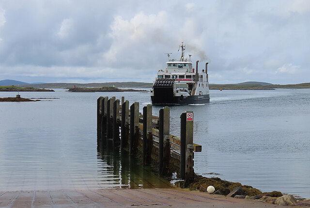
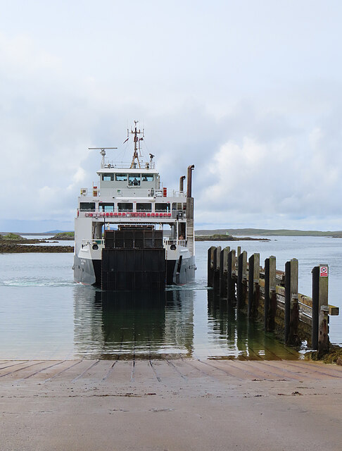
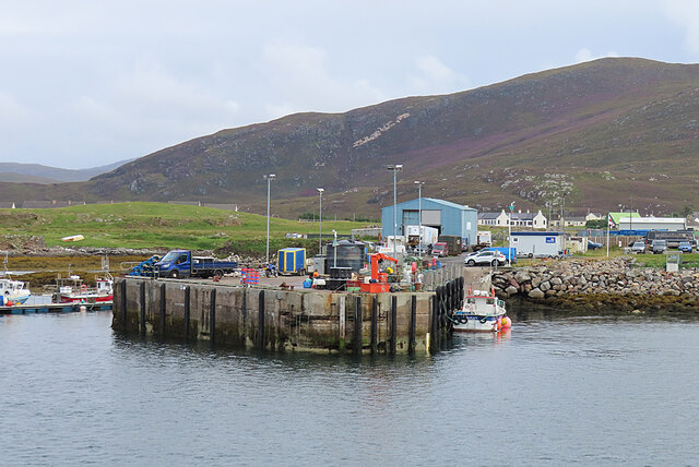
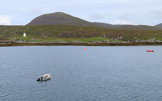
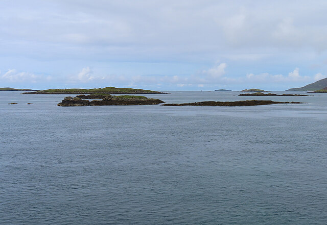
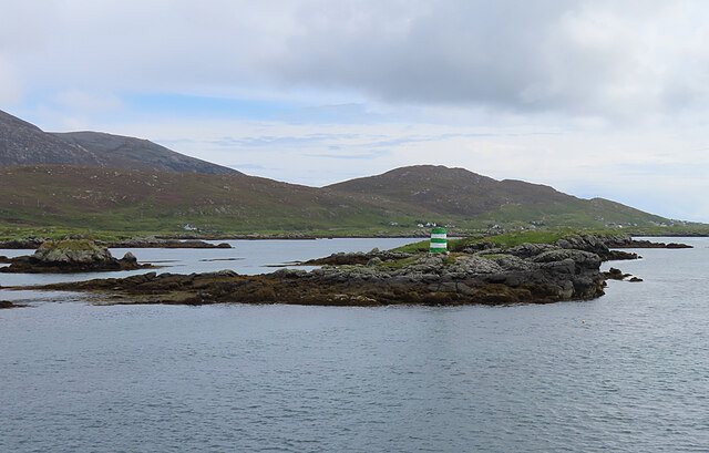
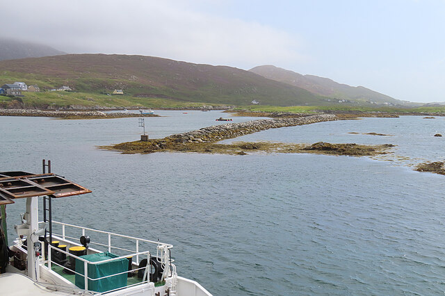
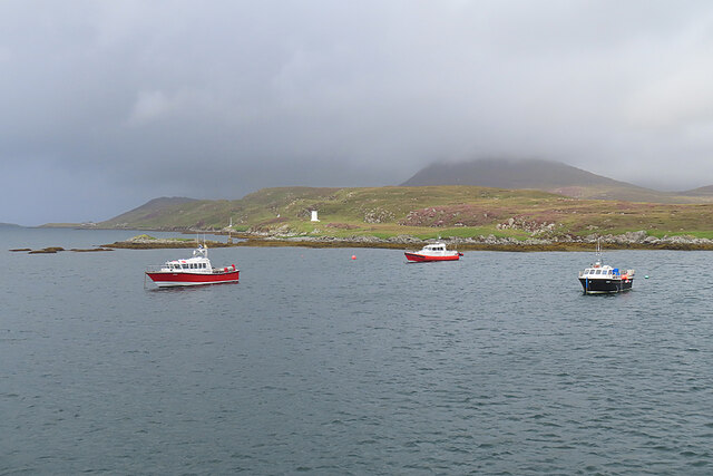
Loch na Creadha Images
Images are sourced within 2km of 57.779007/-7.0332759 or Grid Reference NG0087. Thanks to Geograph Open Source API. All images are credited.
Loch na Creadha is located at Grid Ref: NG0087 (Lat: 57.779007, Lng: -7.0332759)
Unitary Authority: Na h-Eileanan an Iar
Police Authority: Highlands and Islands
What 3 Words
///stressed.scanty.lung. Near Leverburgh, Na h-Eileanan Siar
Nearby Locations
Related Wikis

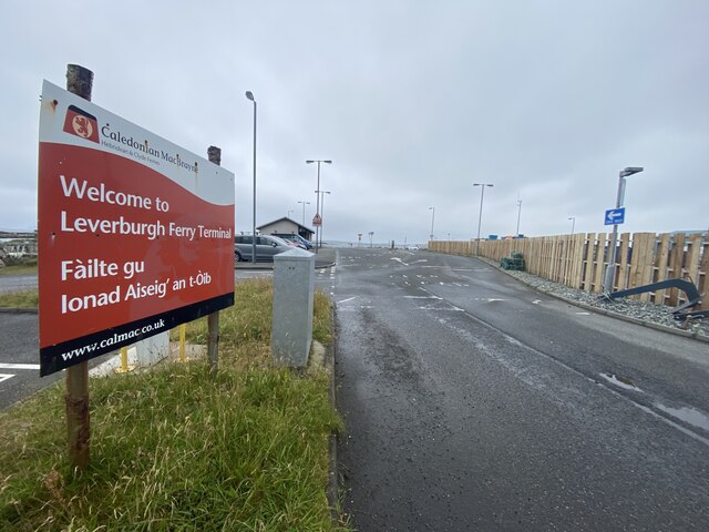
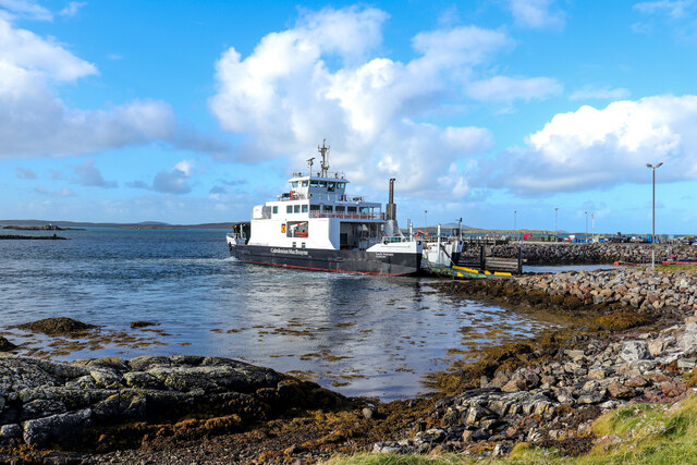
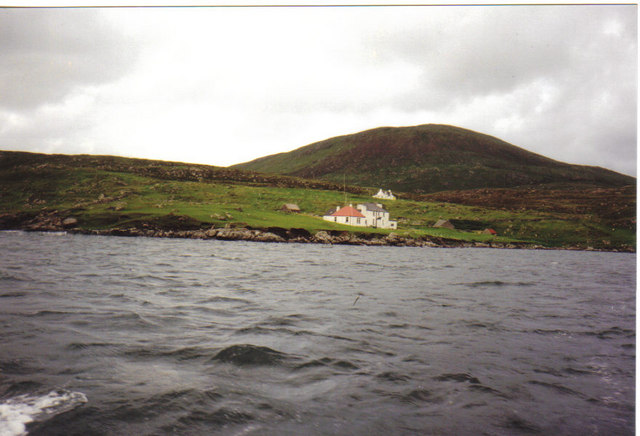
Leverburgh
Leverburgh (Scottish Gaelic: An t-Òb [ən̪ˠ ˈt̪ɔːp]) is the second largest village, after Tarbert, in Harris in the Outer Hebrides of Scotland. Leverburgh...

Outer Hebrides
The Outer Hebrides ( HEB-rid-eez) or Western Isles (Scottish Gaelic: na h-Eileanan Siar [nə ˈhelanən ˈʃiəɾ] , na h-Eileanan an Iar [nə ˈhelanən əɲ ˈiəɾ...

1990 Scotland RAF Shackleton crash
On 30 April 1990, a Royal Air Force Avro Shackleton AEW Mk II aircraft, of No. 8 Squadron RAF, based at RAF Lossiemouth, crashed into a hill on the Isle...

Ensay (Outer Hebrides)
Ensay (Gaelic Easaigh) is a currently unpopulated and privately owned island in the Outer Hebrides of Scotland. The island lies in the Sound of Harris...
Nearby Amenities
Located within 500m of 57.779007,-7.0332759Have you been to Loch na Creadha?
Leave your review of Loch na Creadha below (or comments, questions and feedback).