Àird an t-Sruith
Hill, Mountain in Inverness-shire
Scotland
Àird an t-Sruith
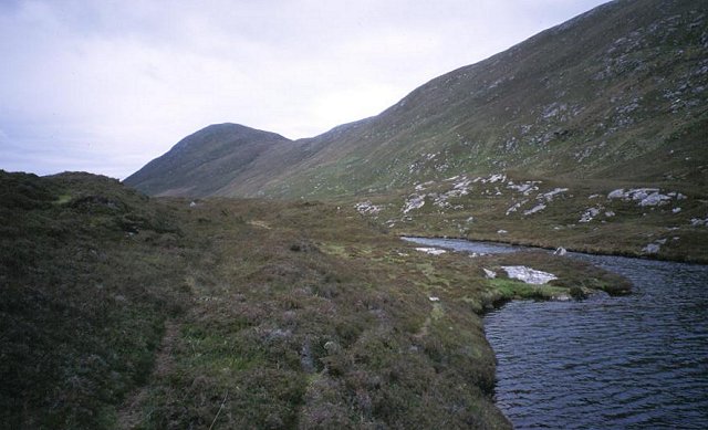
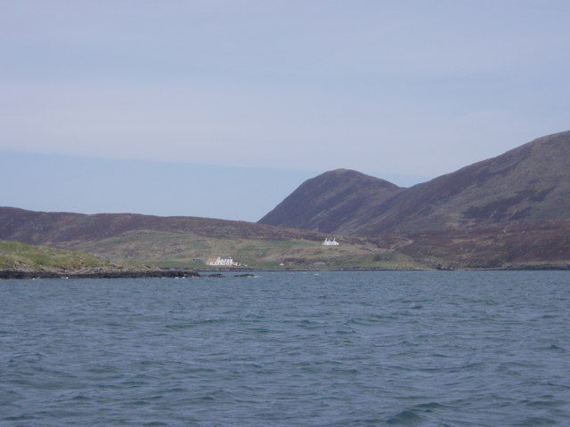
Àird an t-Sruith is a prominent hill located in Inverness-shire, Scotland. With an elevation of approximately 703 meters (2,306 feet), it is classified as a mountain. Situated in the northern part of the county, Àird an t-Sruith is part of the Scottish Highlands and offers stunning panoramic views of the surrounding landscape.
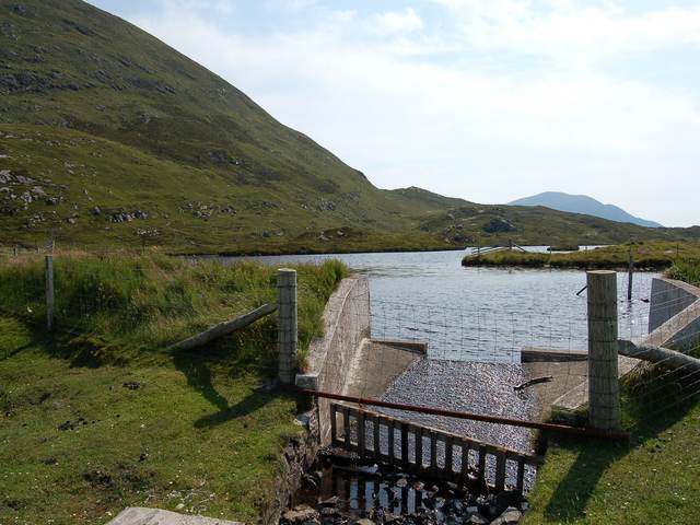
The hill is characterized by its rugged terrain and rocky slopes, which can be challenging to navigate. However, for outdoor enthusiasts and hikers, Àird an t-Sruith presents an exciting and rewarding challenge. The ascent to the summit requires a moderate level of fitness and is best suited for experienced hikers due to the steep slopes and potential hazards.
At the peak of Àird an t-Sruith, hikers are greeted with breathtaking views of the surrounding mountains, lochs, and glens. On clear days, it is possible to see as far as the Isle of Skye and the Cairngorms National Park in the distance.
The hill is also home to a diverse range of flora and fauna, including heather, mosses, and various bird species. It is not uncommon to spot golden eagles soaring through the skies above or red deer grazing on the lower slopes.
Overall, Àird an t-Sruith is a magnificent mountain in Inverness-shire, offering hikers and nature lovers a chance to immerse themselves in the awe-inspiring beauty of the Scottish Highlands.
If you have any feedback on the listing, please let us know in the comments section below.
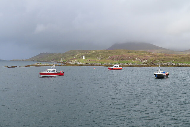
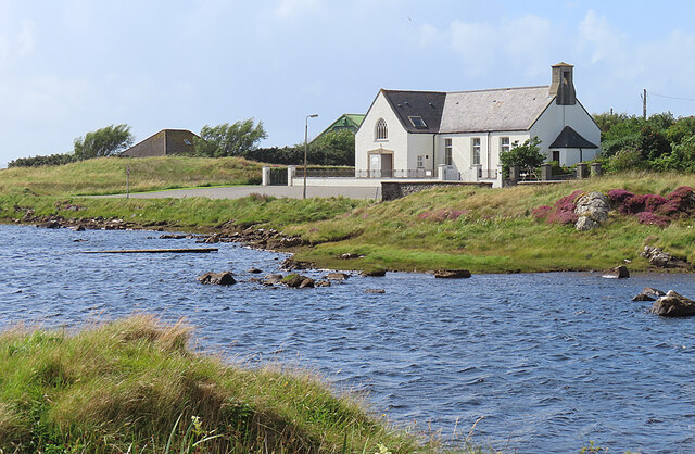
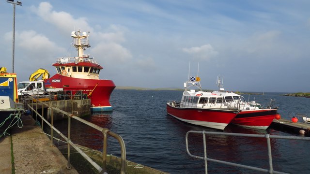
Àird an t-Sruith Images
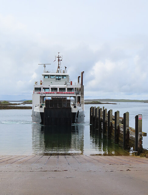
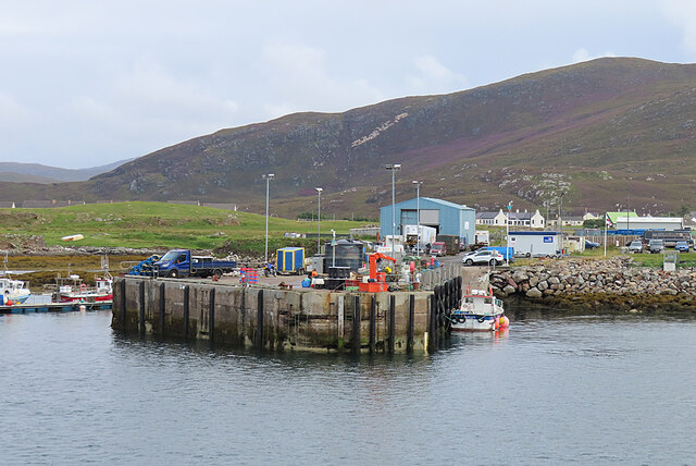
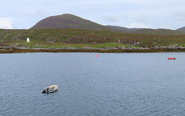
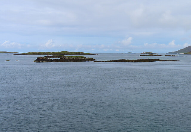
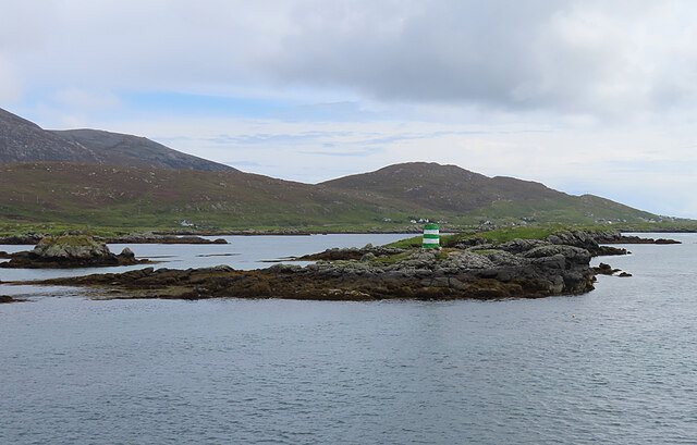
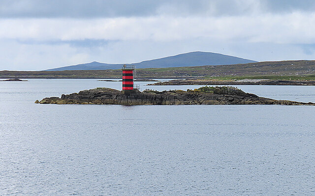
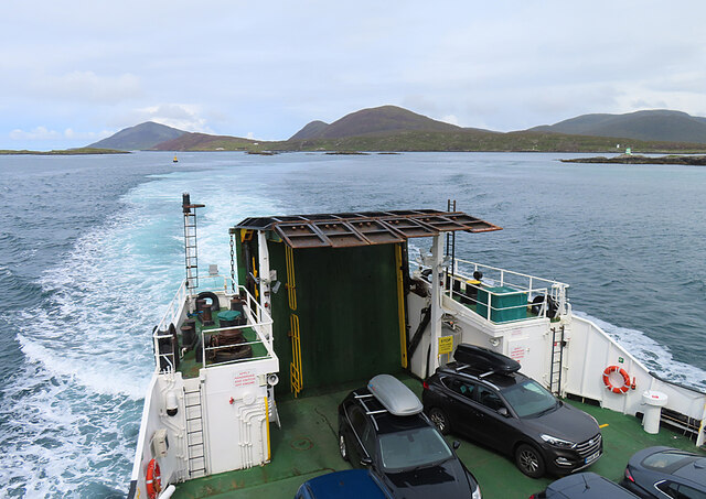
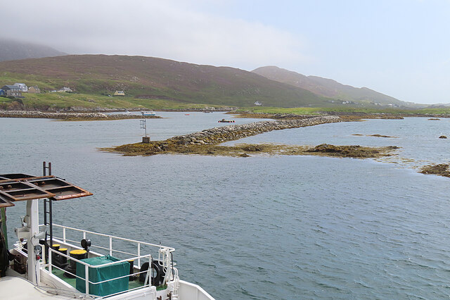
Images are sourced within 2km of 57.775329/-7.038876 or Grid Reference NG0087. Thanks to Geograph Open Source API. All images are credited.
Àird an t-Sruith is located at Grid Ref: NG0087 (Lat: 57.775329, Lng: -7.038876)
Unitary Authority: Na h-Eileanan an Iar
Police Authority: Highlands and Islands
What 3 Words
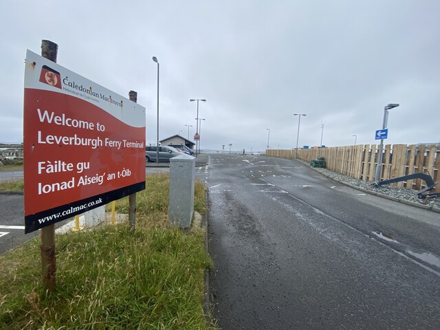
///saga.socialite.oiled. Near Leverburgh, Na h-Eileanan Siar
Nearby Locations
Related Wikis

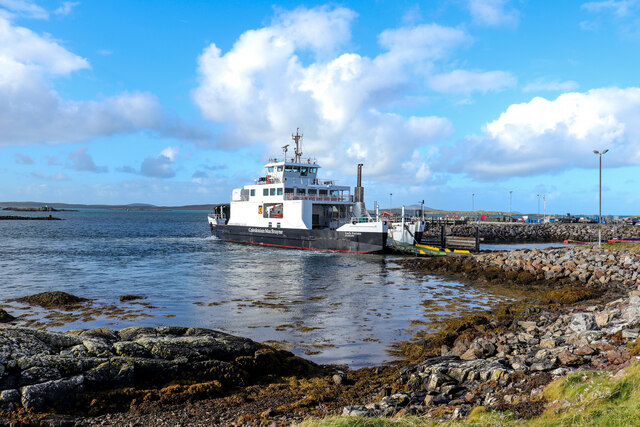
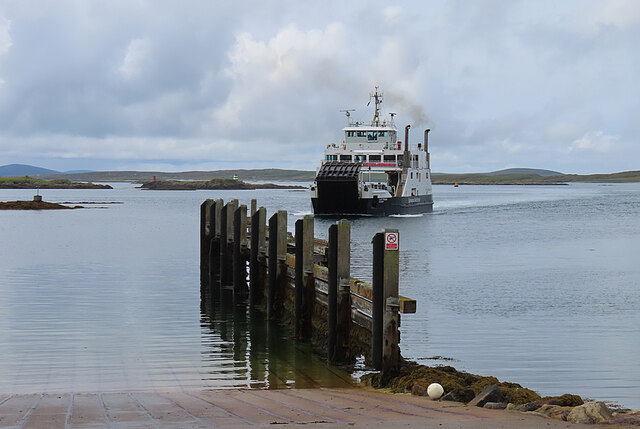
Leverburgh
Leverburgh (Scottish Gaelic: An t-Òb [ən̪ˠ ˈt̪ɔːp]) is the second largest village, after Tarbert, in Harris in the Outer Hebrides of Scotland. Leverburgh...

Outer Hebrides
The Outer Hebrides ( HEB-rid-eez) or Western Isles (Scottish Gaelic: na h-Eileanan Siar [nə ˈhelanən ˈʃiəɾ] , na h-Eileanan an Iar [nə ˈhelanən əɲ ˈiəɾ...

Ensay (Outer Hebrides)
Ensay (Gaelic Easaigh) is a currently unpopulated and privately owned island in the Outer Hebrides of Scotland. The island lies in the Sound of Harris...

1990 Scotland RAF Shackleton crash
On 30 April 1990, a Royal Air Force Avro Shackleton AEW Mk II aircraft, of No. 8 Squadron RAF, based at RAF Lossiemouth, crashed into a hill on the Isle...
Nearby Amenities
Located within 500m of 57.775329,-7.038876Have you been to Àird an t-Sruith?
Leave your review of Àird an t-Sruith below (or comments, questions and feedback).