Kyles Glen
Valley in Inverness-shire
Scotland
Kyles Glen
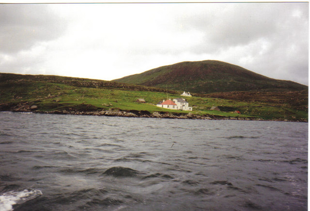
Kyles Glen is a picturesque valley located in Inverness-shire, Scotland. Nestled amidst the scenic Scottish Highlands, this valley offers breathtaking natural beauty and a tranquil atmosphere. The valley is situated on the western coast of Scotland, overlooking the stunning Loch Alsh and the Isle of Skye.
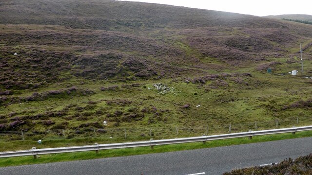
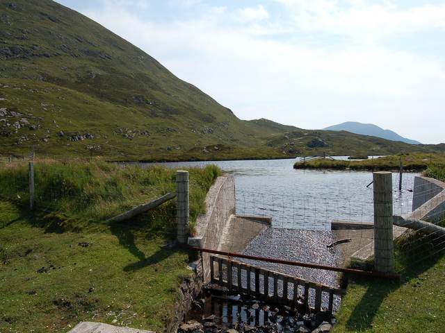
Kyles Glen is renowned for its lush greenery, rolling hills, and cascading waterfalls. The valley is home to a wide variety of flora and fauna, including native Scottish wildlife such as red deer, golden eagles, and otters. The area is a paradise for nature lovers and hikers, with numerous walking trails and viewpoints offering stunning vistas of the surrounding landscape.
One of the highlights of Kyles Glen is the Eilean Donan Castle, an iconic landmark perched on a small island where three sea lochs meet. This medieval castle is a popular tourist attraction and provides a glimpse into Scotland's rich history and heritage.
The valley offers a range of outdoor activities, including fishing, kayaking, and boating on Loch Alsh. Visitors can also explore nearby villages and towns, such as Plockton, which is known for its charming waterfront and traditional whitewashed cottages.
Kyles Glen is a place of tranquility and natural beauty, providing visitors with an opportunity to escape the hustle and bustle of everyday life. Whether it's exploring the scenic landscapes, visiting historic sites, or simply immersing oneself in the peaceful surroundings, this valley is a hidden gem in the Scottish Highlands.
If you have any feedback on the listing, please let us know in the comments section below.
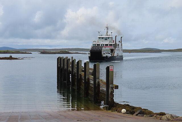
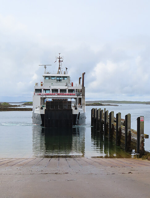
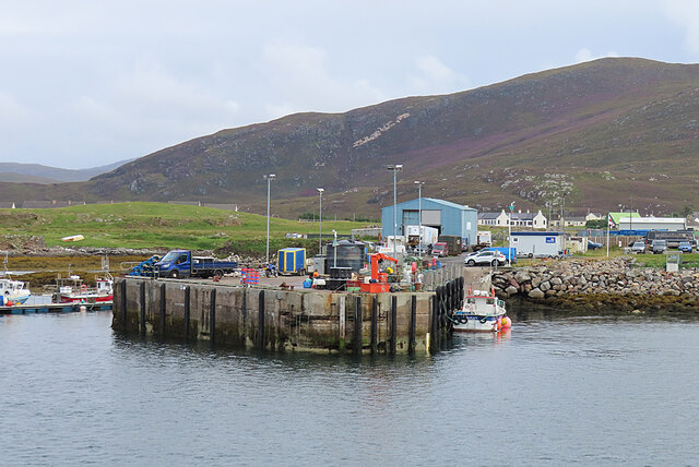
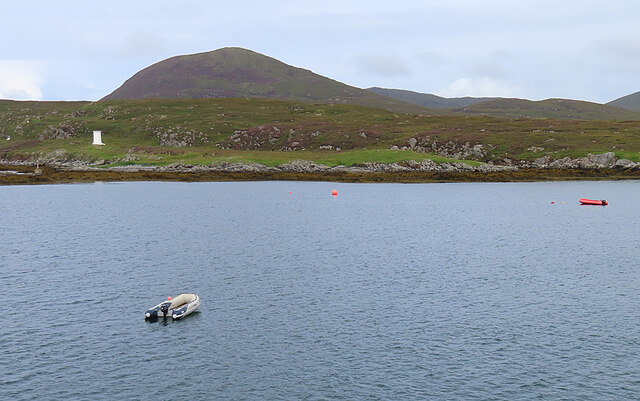
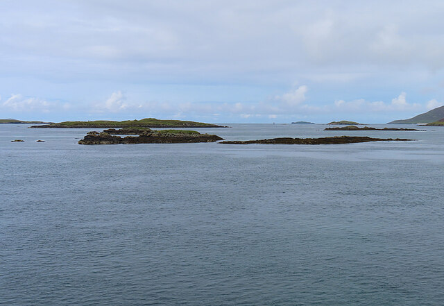
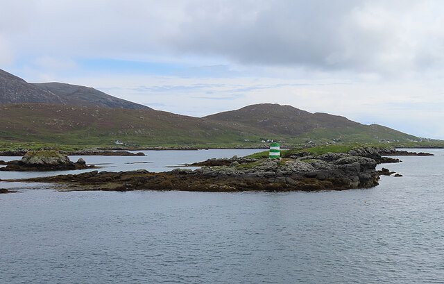
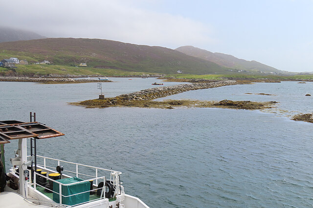
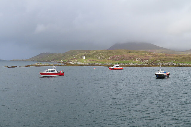
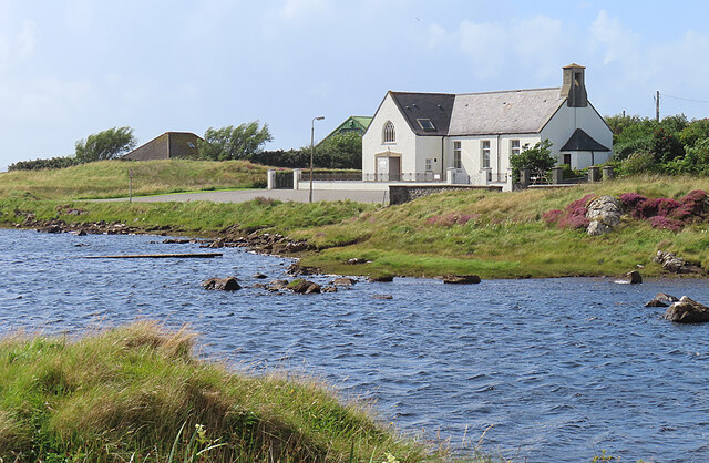
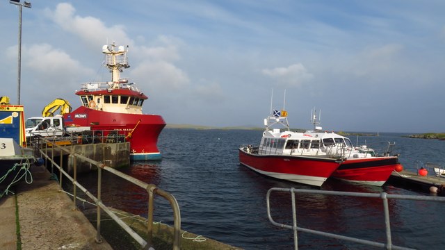
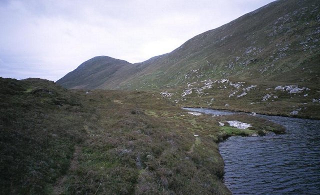
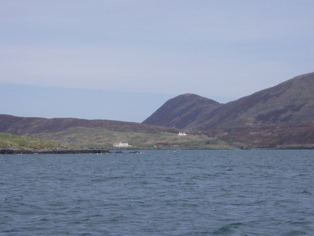
Kyles Glen Images
Images are sourced within 2km of 57.779013/-7.0333442 or Grid Reference NG0087. Thanks to Geograph Open Source API. All images are credited.
Kyles Glen is located at Grid Ref: NG0087 (Lat: 57.779013, Lng: -7.0333442)
Unitary Authority: Na h-Eileanan an Iar
Police Authority: Highlands and Islands
What 3 Words
///fairly.steered.chap. Near Leverburgh, Na h-Eileanan Siar
Nearby Locations
Related Wikis

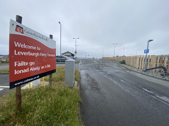
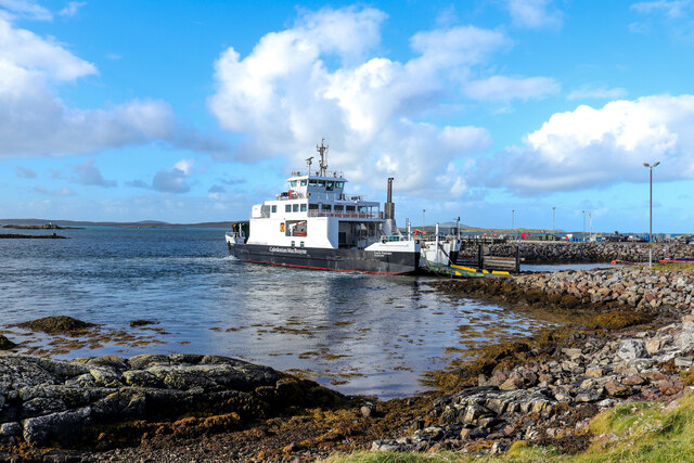
Leverburgh
Leverburgh (Scottish Gaelic: An t-Òb [ən̪ˠ ˈt̪ɔːp]) is the second largest village, after Tarbert, in Harris in the Outer Hebrides of Scotland. Leverburgh...

Outer Hebrides
The Outer Hebrides ( HEB-rid-eez) or Western Isles (Scottish Gaelic: na h-Eileanan Siar [nə ˈhelanən ˈʃiəɾ] , na h-Eileanan an Iar [nə ˈhelanən əɲ ˈiəɾ...

1990 Scotland RAF Shackleton crash
On 30 April 1990, a Royal Air Force Avro Shackleton AEW Mk II aircraft, of No. 8 Squadron RAF, based at RAF Lossiemouth, crashed into a hill on the Isle...

Ensay (Outer Hebrides)
Ensay (Gaelic Easaigh) is a currently unpopulated and privately owned island in the Outer Hebrides of Scotland. The island lies in the Sound of Harris...
Nearby Amenities
Located within 500m of 57.779013,-7.0333442Have you been to Kyles Glen?
Leave your review of Kyles Glen below (or comments, questions and feedback).