Loch Uladail

Lake, Pool, Pond, Freshwater Marsh in Ross-shire

Scotland

Loch Uladail

Exposed gneiss on Carn Neil Snow-covered Mealaisbhal behind.
Exposed gneiss on Carn Neil Credit: Alan Reid

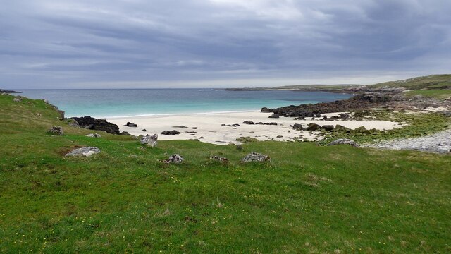
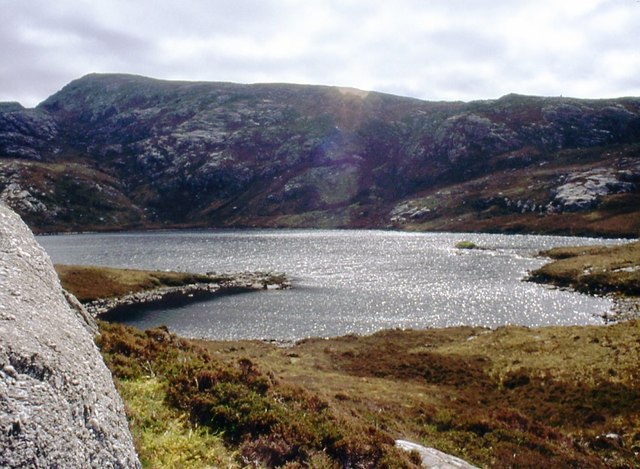
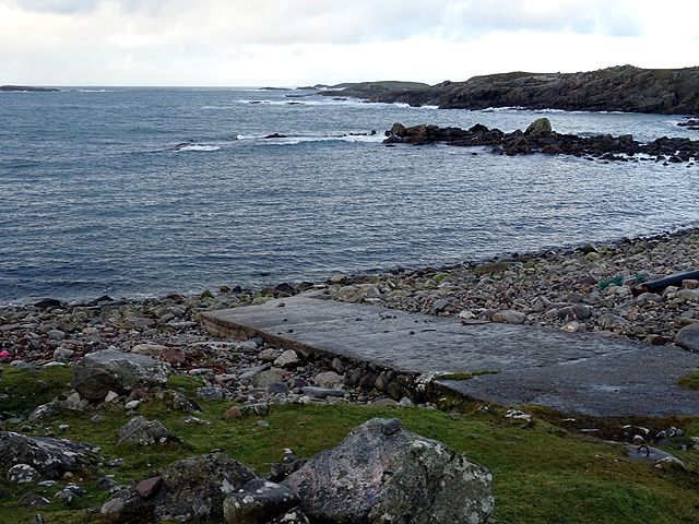
Loch Uladail is a picturesque freshwater loch located in Ross-shire, Scotland. Nestled amidst the stunning Scottish Highlands, it covers an area of approximately 1 square kilometer. With its tranquil surroundings and breathtaking views, Loch Uladail is a popular destination for nature lovers and outdoor enthusiasts.

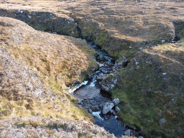
The loch is characterized by its crystal-clear waters, which are fed by nearby streams and rainfall. The water is renowned for its purity and is home to a diverse range of aquatic flora and fauna. The loch's depth varies, with some areas reaching depths of up to 10 meters.

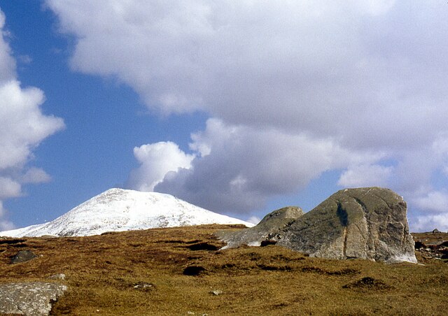
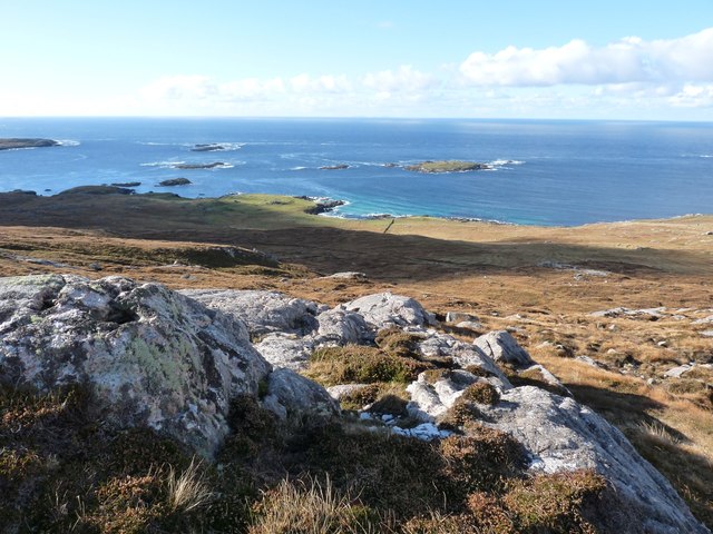
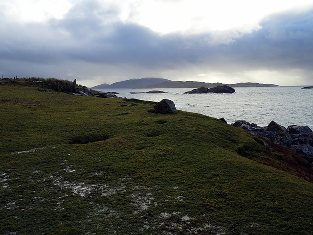
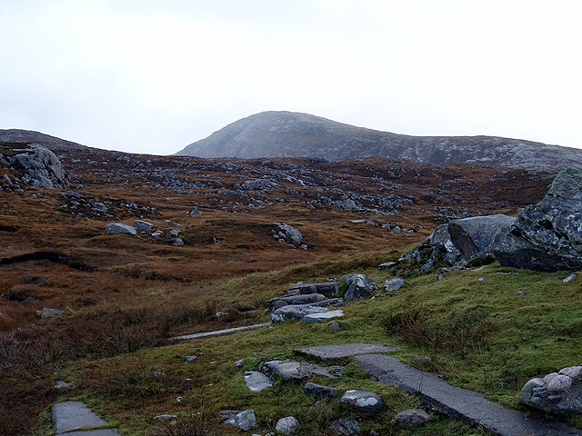
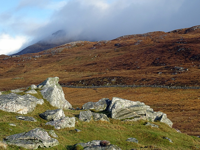
Surrounding the loch, there is a mix of heather-covered moorland and scattered woodlands, providing a rich habitat for a variety of wildlife. Visitors may spot red deer, otters, and a range of bird species, including golden eagles and ospreys.

Loch Uladail offers a range of recreational activities for visitors to enjoy. Fishing enthusiasts can try their luck at catching brown trout, which populate the loch's waters. Canoeing and kayaking are also popular activities, allowing visitors to explore the loch's nooks and crannies.

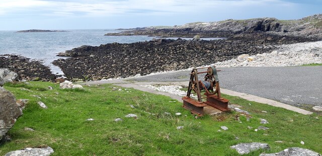
Access to Loch Uladail is relatively straightforward, with a small car park located nearby. There are also several walking trails that offer stunning views of the loch and its surrounding landscape.

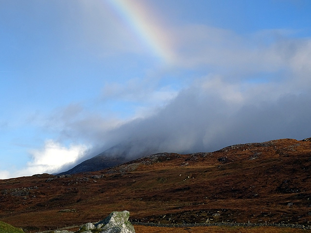
In summary, Loch Uladail is a picturesque freshwater loch in Ross-shire, Scotland, offering a peaceful and pristine natural environment. With its diverse wildlife, stunning views, and recreational opportunities, it is a must-visit destination for those seeking a connection with nature.

If you have any feedback on the listing, please let us know in the comments section below.
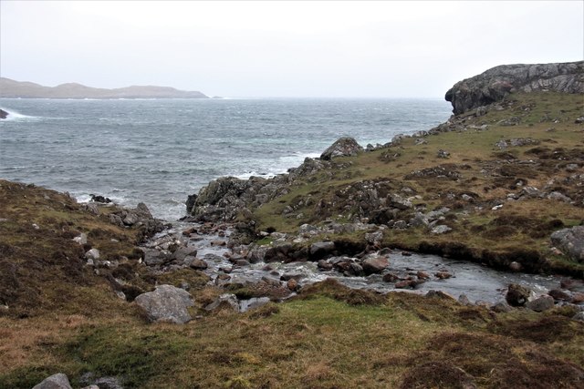
Loch Uladail Images

Images are sourced within 2km of 58.103205/-7.081302 or Grid Reference NB0023. Thanks to Geograph Open Source API. All images are credited.

Exposed gneiss on Carn Neil Snow-covered Mealaisbhal behind.
Exposed gneiss on Carn Neil
Snow-covered Mealaisbhal behind.
Slipway and winch at Camas Mol Linnis The slipway is very steep and the winch must have made all the difference.
Slipway and winch at Camas Mol Linnis
The slipway is very steep and the winch must have made all the difference.
Mol Foirs Geòdha A small beach by Western Isles standards.
Mol Foirs Geòdha
A small beach by Western Isles standards.
Abhainn Ruadh Tumbling from the western slopes of the Lewis mountains towards the Atlantic
Abhainn Ruadh
Tumbling from the western slopes of the Lewis mountains towards the Atlantic
Looking west from Taireabhal This hill is near the end of civilisation in Lewis.
Looking west from Taireabhal
This hill is near the end of civilisation in Lewis.
Sparkle on Loch na Clibhe
Cairn at the summit of Snoidibridh, Isle of Lewis Looking towards Loch Clibh Cracabhal, the nearer part of which lies within the grid square, and Cracabhal beyond.
Cairn at the summit of Snoidibridh, Isle of Lewis
Looking towards Loch Clibh Cracabhal, the nearer part of which lies within the grid square, and Cracabhal beyond.
Ruined house by the Allt Loch na Clibhe, Isle of Lewis Looking towards Laibheal a Tuath.
Ruined house by the Allt Loch na Clibhe, Isle of Lewis
Looking towards Laibheal a Tuath.
Rock slab, Snoidibridh, Isle of Lewis Looking towards Loch na Clibhe.
Rock slab, Snoidibridh, Isle of Lewis
Looking towards Loch na Clibhe.
Rock slab, Snoidibridh, Isle of Lewis The nearer island is Eilean Mhealasta and Scarp is beyond to the left.
Rock slab, Snoidibridh, Isle of Lewis
The nearer island is Eilean Mhealasta and Scarp is beyond to the left.
Rock, Snoidibridh, Isle of Lewis The high ground to the left is Mealaisbhal and Tathabhal is in the distance.
Rock, Snoidibridh, Isle of Lewis
The high ground to the left is Mealaisbhal and Tathabhal is in the distance.
Cairn, Snoidibridh, Isle of Lewis Looking towards the island of Grèineam in the Atlantic.
Cairn, Snoidibridh, Isle of Lewis
Looking towards the island of Grèineam in the Atlantic.
Looking south from Mealasta The larger island in the middle distance is Eileen Mhealasta. Beyond that is Scarp.
Looking south from Mealasta
The larger island in the middle distance is Eileen Mhealasta. Beyond that is Scarp.
The end of the road from Uig The road on the west side of Lewis ends at this remote jetty with a view out over Camas Mol Linnis. The map carries a name Totarol nearby but I'm unable to establish to what that refers.
The end of the road from Uig
The road on the west side of Lewis ends at this remote jetty with a view out over Camas Mol Linnis. The map carries a name Totarol nearby but I'm unable to establish to what that refers.
At the end of the road south of Mealasta Remains of concrete structures suggest busier times here in the past at this very remote location. The distant peak appears to be Naideabhal a Staigh <a href="https://www.geograph.org.uk/gridref/NB012235">NB012235</a>.
At the end of the road south of Mealasta
Remains of concrete structures suggest busier times here in the past at this very remote location. The distant peak appears to be Naideabhal a Staigh NB012235.
Outcropping rock at Mealasta Looking towards Cracabhal.
Outcropping rock at Mealasta
Looking towards Cracabhal.
Truncated rainbow above  Cracabhal Viewed from Mealasta.
Truncated rainbow above Cracabhal
Viewed from Mealasta.
Allt Hatasaidh reaching the Atlantic
Show me another place!

Loch Uladail is located at Grid Ref: NB0023 (Lat: 58.103205, Lng: -7.081302)

Unitary Authority: Na h-Eileanan an Iar

Police Authority: Highlands and Islands

What 3 Words

///vibrating.disbelief.machine. Near Carloway, Na h-Eileanan Siar

Nearby Locations

Loch Uladail

Related Wikis

Game pieces of the Lewis chessmen hoard

Game pieces of the Lewis chessmen hoard include the ninety-three game pieces of the Lewis chessmen hoard found on the Isle of Lewis in the Outer Hebrides...

Mealista

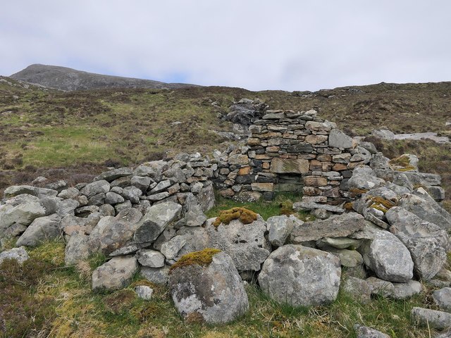
Mealista (Scottish Gaelic: Mealasta) was a township in the west of the Isle of Lewis. It is currently largely uninhabited due to the Highland Clearances...

Brenish

Brenish (Scottish Gaelic: Brèinis) is a small village situated on the west coast of the Isle of Lewis, which is part of the Outer Hebrides of Scotland...

Eilean Mhealasta

Eilean Mhealasta (Mealista Island) is an uninhabited island off the west coast of Lewis in the Outer Hebrides of Scotland. It takes its name from Mealista...

Have you been to Loch Uladail?

Leave your review of Loch Uladail below (or comments, questions and feedback).