A' Mhaol Bhuidhe
Coastal Feature, Headland, Point in Inverness-shire
Scotland
A' Mhaol Bhuidhe
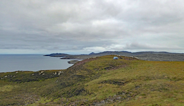
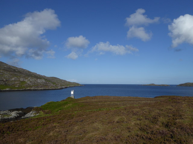
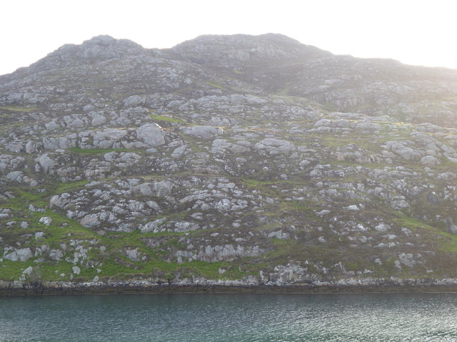
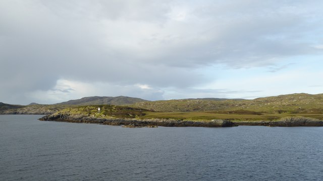
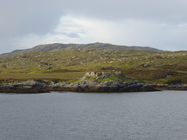
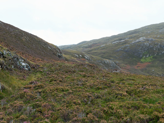
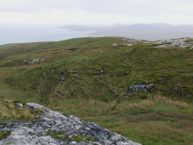
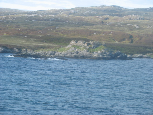
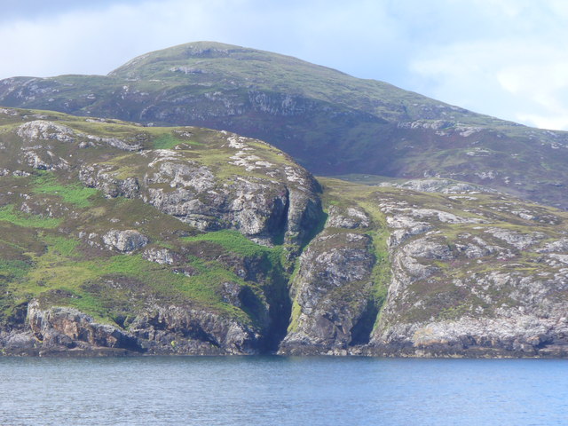
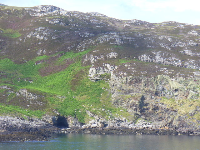
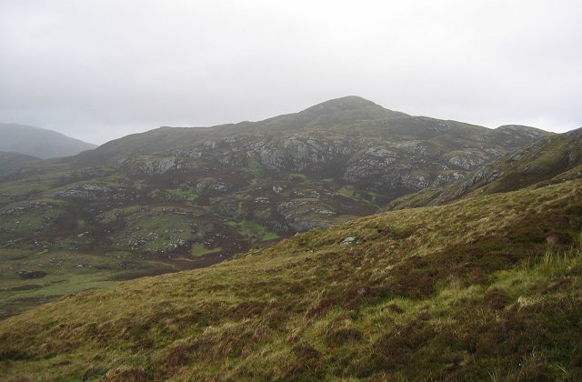
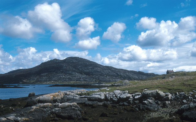
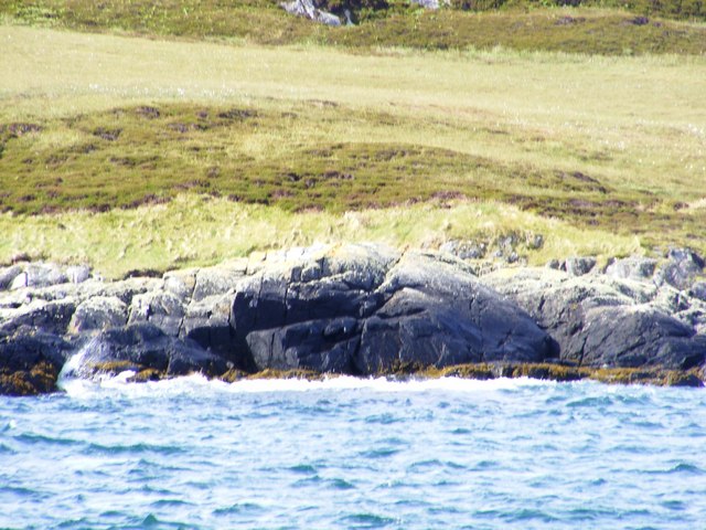
A' Mhaol Bhuidhe, located in Inverness-shire, Scotland, is a prominent coastal feature that takes the form of a headland or point. It is situated on the western coast of the Scottish Highlands, overlooking the North Atlantic Ocean. This rugged and picturesque landscape is characterized by its steep cliffs, jagged rocks, and stunning views of the surrounding sea.
A' Mhaol Bhuidhe is known for its wild and untamed beauty, as well as its rich biodiversity. The headland is home to a diverse range of plant and animal species, including various seabirds, marine mammals, and coastal flora. Visitors to the area can often spot colonies of nesting seabirds, such as puffins, guillemots, and razorbills, as well as seals and occasionally dolphins or whales.
The terrain of A' Mhaol Bhuidhe is rugged and challenging, making it a popular destination for outdoor enthusiasts and hikers. The headland offers several walking trails that provide stunning views of the surrounding coastline and the open sea. These trails range in difficulty, catering to both casual walkers and experienced hikers.
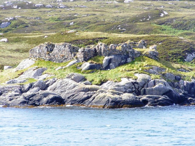
In addition to its natural beauty, A' Mhaol Bhuidhe also holds historical and cultural significance. The area is dotted with ancient ruins and archaeological sites, including the remains of Iron Age forts and settlements. These remnants of the past offer insights into the rich history and heritage of the region.
Overall, A' Mhaol Bhuidhe is a captivating coastal feature that combines stunning natural scenery, diverse wildlife, and a rich cultural history. It is a must-visit destination for nature lovers, outdoor enthusiasts, and those seeking a glimpse into Scotland's ancient past.
If you have any feedback on the listing, please let us know in the comments section below.
A' Mhaol Bhuidhe Images
Images are sourced within 2km of 57.15046/-7.2714997 or Grid Reference NF8118. Thanks to Geograph Open Source API. All images are credited.
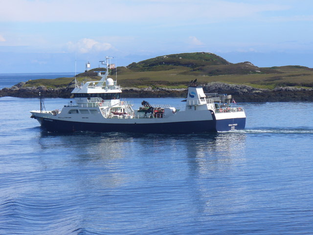
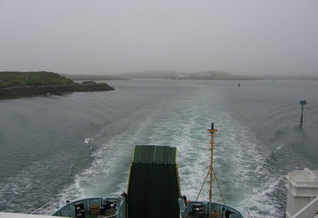
![Steaming out of Loch Baghasdail Not sure if 'steaming' is quite the right expression to describe the movement of a diesel powered car ferry. Taken from the deck of MV 'Lord of the Isles' having just passed the small island of Gasaigh [centre left]. Lochboisdale port can be seen in the distance.](https://s2.geograph.org.uk/geophotos/03/06/57/3065774_21c62608.jpg)
A' Mhaol Bhuidhe is located at Grid Ref: NF8118 (Lat: 57.15046, Lng: -7.2714997)
Unitary Authority: Na h-Eileanan an Iar
Police Authority: Highlands and Islands
What 3 Words
///jokers.distracts.spits. Near Lochboisdale, Na h-Eileanan Siar
Nearby Locations
Related Wikis

Beinn Ruigh Choinnich
Beinn Ruigh Choinnich is a hill which overlooks the port of Lochboisdale on the east coast of the island of South Uist in the Outer Hebrides Scotland....

Calvay Castle
Calvay Castle (Scottish Gaelic: Caisteal Calbhaigh) is a ruined castle on an islet close to the island of Calbhaigh, at the eastern approaches to Loch...

Lochboisdale
Lochboisdale (Scottish Gaelic: Loch Baghasdail [ɫ̪ɔx ˈbɤːs̪t̪ɪl]) is the main village and port on the island of South Uist, Outer Hebrides, Scotland. Lochboisdale...

Eileanan Iasgaich
Na h-Eileanan Iasgaich comprise a small uninhabited archipelago in Loch Boisdale, in the south east of the island of South Uist, in the Outer Hebrides...
Have you been to A' Mhaol Bhuidhe?
Leave your review of A' Mhaol Bhuidhe below (or comments, questions and feedback).