Creag Aireach

Coastal Feature, Headland, Point in Inverness-shire

Scotland

Creag Aireach

Mouth of Loch Eynort East coast of South Uist.
Mouth of Loch Eynort Credit: Hugh Venables

Creag Aireach is a stunning coastal feature located in Inverness-shire, Scotland. Situated on the northwest coast of the country, this headland juts out into the North Atlantic Ocean, offering breathtaking views and a captivating natural environment.

Measuring approximately 200 meters in height, Creag Aireach is characterized by its rugged cliffs, which are composed of ancient rock formations. These cliffs provide a dramatic backdrop against the crashing waves of the ocean below. The headland is known for its distinctive shape, resembling a pointed finger reaching out into the sea.

The area surrounding Creag Aireach is rich in wildlife, making it a popular spot for nature enthusiasts and birdwatchers. The cliffs provide nesting grounds for various seabird species, including guillemots, razorbills, and kittiwakes. Visitors may also have the chance to spot seals and dolphins swimming offshore.

Access to Creag Aireach is relatively challenging due to its remote location, but it is well worth the effort for those seeking an unspoiled coastal experience. Hikers can embark on a scenic coastal trail that meanders along the headland, offering panoramic vistas and opportunities to explore the diverse flora and fauna of the area.

Creag Aireach is a place where nature's power and beauty meet, offering a tranquil escape from the hustle and bustle of everyday life. Whether it's the stunning cliffs, the mesmerizing ocean views, or the abundant wildlife, this coastal feature is sure to leave a lasting impression on all who visit.

If you have any feedback on the listing, please let us know in the comments section below.

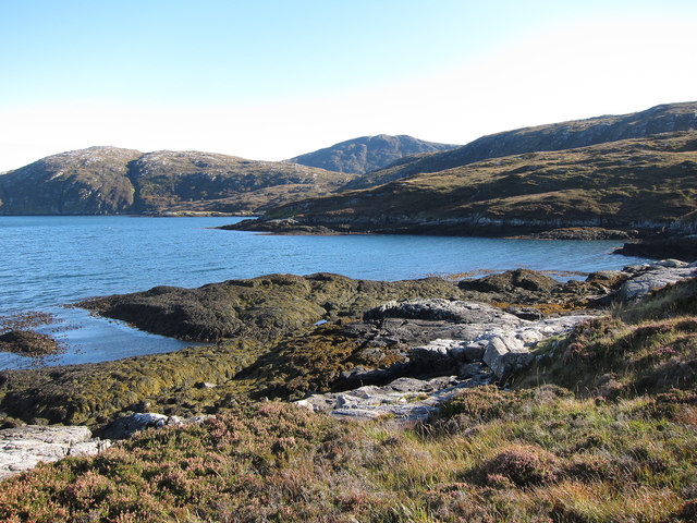
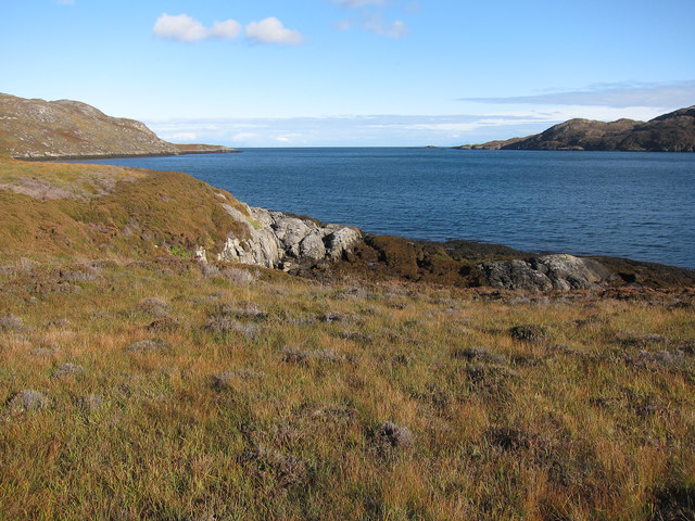
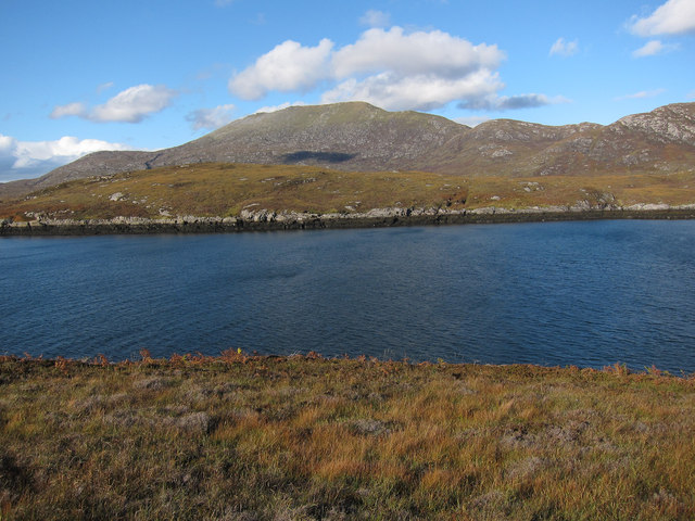
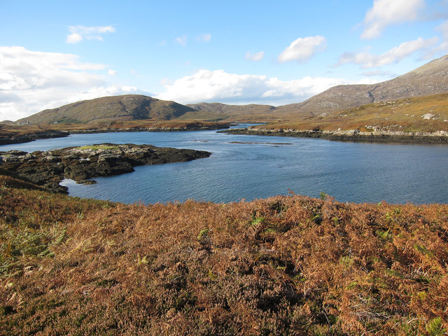
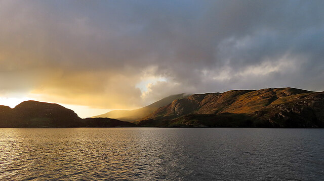
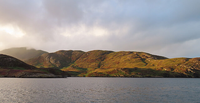
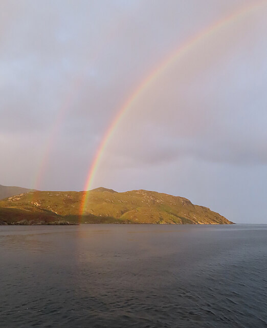
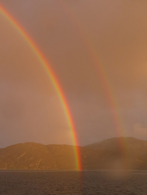
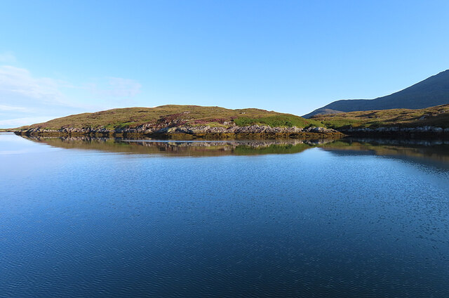
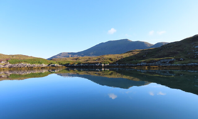
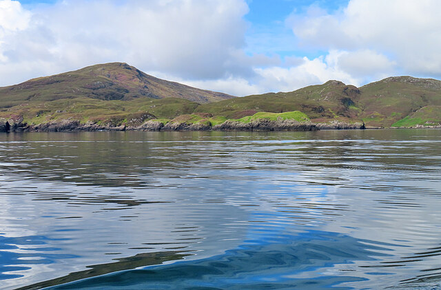
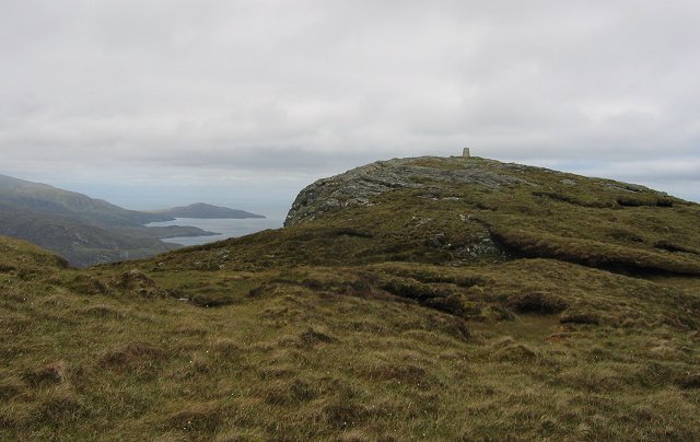
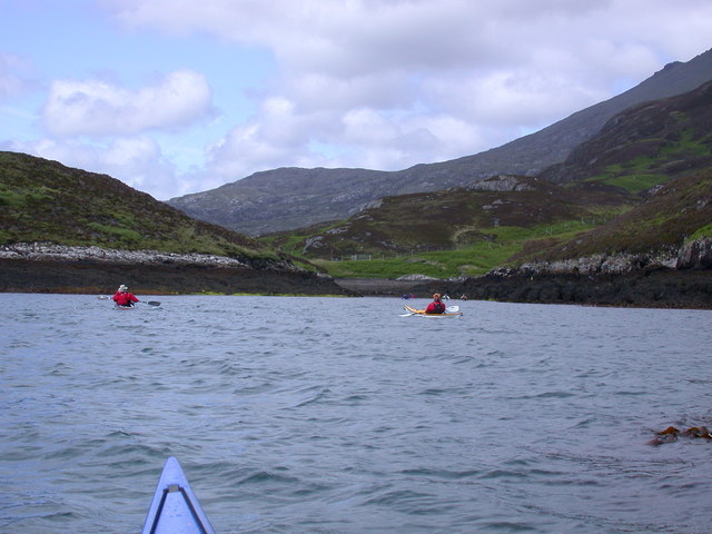
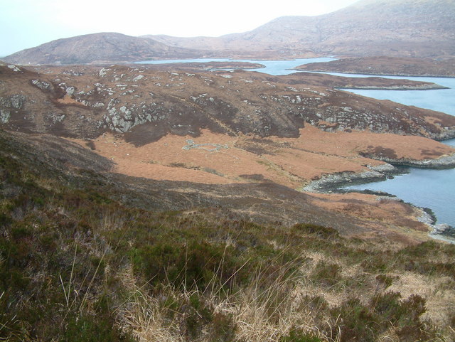
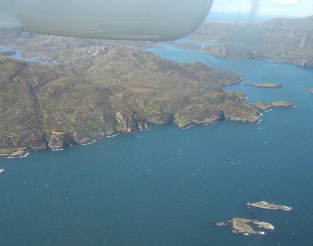
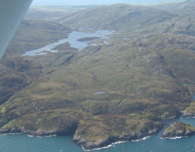
Creag Aireach Images

Images are sourced within 2km of 57.212722/-7.2860201 or Grid Reference NF8025. Thanks to Geograph Open Source API. All images are credited.

Mouth of Loch Eynort East coast of South Uist.
Mouth of Loch Eynort
East coast of South Uist.
Rubha Laileum Near the mouth of Loch Aineort.
Rubha Laileum
Near the mouth of Loch Aineort.
Rubha nan Sruthan Looking over Sruthan Beag.
Rubha nan Sruthan
Looking over Sruthan Beag.
Loch Eynort Narrow stretch near the eastern end.
Loch Eynort
Narrow stretch near the eastern end.
Evening Sunshine After some gloomy weather, the setting sun broke through the clouds for a short fine spell.
Evening Sunshine
After some gloomy weather, the setting sun broke through the clouds for a short fine spell.
Meall Mòr Evening light on the north side of Loch Aineort.
Meall Mòr
Evening light on the north side of Loch Aineort.
Evening Rainbow A double rainbow making landfall on the north side of Loch Aineort.
Evening Rainbow
A double rainbow making landfall on the north side of Loch Aineort.
Double Rainbow Fuelled by a very heavy shower, this is one of the most magnificent rainbows I've ever seen.
Double Rainbow
Fuelled by a very heavy shower, this is one of the most magnificent rainbows I've ever seen.
Rubha nan Sruthan The peninsula on the north side of the narrowest part of Loch Aineort.
Rubha nan Sruthan
The peninsula on the north side of the narrowest part of Loch Aineort.
Loch Aineort An inlet east of Rubha nan Sruthan. The hill in the background is Beinn Mhòr.
Loch Aineort
An inlet east of Rubha nan Sruthan. The hill in the background is Beinn Mhòr.
Cleit a' Ghlinn Mhòir Cleit a' Ghlinn Mhòir is the rocky peninsula with the bright green vegetation on it. The name means 'rock of the big glen'.
Cleit a' Ghlinn Mhòir
Cleit a' Ghlinn Mhòir is the rocky peninsula with the bright green vegetation on it. The name means 'rock of the big glen'.
Summit of Stulabhal Stulabhal at 374m is the highest of the middle group of South Uist hills. Because of the exposed island setting it feels a lot higher.
Summit of Stulabhal
Stulabhal at 374m is the highest of the middle group of South Uist hills. Because of the exposed island setting it feels a lot higher.
Sloc Dubh na Thabhann, Loch Eynort South Uist Entering Sloc Dubh na Thabhann, from Loch Eynort South Uist
Sloc Dubh na Thabhann, Loch Eynort South Uist
Entering Sloc Dubh na Thabhann, from Loch Eynort South Uist
Old shieling
Old shieling
Triangulation pillar, Stulabhal View northwards past the pillar towards Beinn Mhòr.
Triangulation pillar, Stulabhal
View northwards past the pillar towards Beinn Mhòr.
Bun an Amair The skerries in the foreground are those to the north of Stulaig. On the right is the mouth of Loch Aineort; on the left, beyond the lower slopes of Stulabhal, is Loch Snigiscleit.
Bun an Amair
The skerries in the foreground are those to the north of Stulaig. On the right is the mouth of Loch Aineort; on the left, beyond the lower slopes of Stulabhal, is Loch Snigiscleit.
Rubha na Gibhte Looking west over Loch Snigiscleit towards Airnebhal <a href="https://www.geograph.org.uk/photo/15970">NF7825 : On Airneabhal</a>.
Rubha na Gibhte
Looking west over Loch Snigiscleit towards Airnebhal NF7825 : On Airneabhal.
Loch Snigiscleit
Loch Snigiscleit
Show me another place!

Creag Aireach is located at Grid Ref: NF8025 (Lat: 57.212722, Lng: -7.2860201)

Unitary Authority: Na h-Eileanan an Iar

Police Authority: Highlands and Islands

What 3 Words

///choice.reservoir.quail. Near Lochboisdale, Na h-Eileanan Siar

Related Wikis

Stuley

Stuley is an island lying to the east of South Uist in the Outer Hebrides, Scotland. It lies off the section of coastline between Loch Eynort and Loch...

Beinn Mhòr (South Uist)

Beinn Mhòr is a mountain on the island of South Uist in the Outer Hebrides of Scotland. With a height of 620 metres (2,034 ft), it is the highest point...

Auratote

Auratote (Scottish Gaelic: Oratobht) is a location on South Uist in the Outer Hebrides, Scotland. Auratote is within the parish of South Uist. == References... ==

South Uist

South Uist (Scottish Gaelic: Uibhist a Deas, [ˈɯ.ɪʃtʲ ə ˈtʲes̪] ; Scots: Sooth Uist) is the second-largest island of the Outer Hebrides in Scotland. At...

Nearby Amenities

Located within 500m of 57.212722,-7.2860201
Mullach a' Ghlinn Mhòir
Corbett: no
Ele: 182
Graham: no
Munro: no
Natural: peak
Lat/Long: 57.2096596/-7.2826562
The data included in this document is from www.openstreetmap.org. The data is made available under ODbL.

Have you been to Creag Aireach?

Leave your review of Creag Aireach below (or comments, questions and feedback).