Sloc a' Mhòr-Mhuil
Bay in Inverness-shire
Scotland
Sloc a' Mhòr-Mhuil
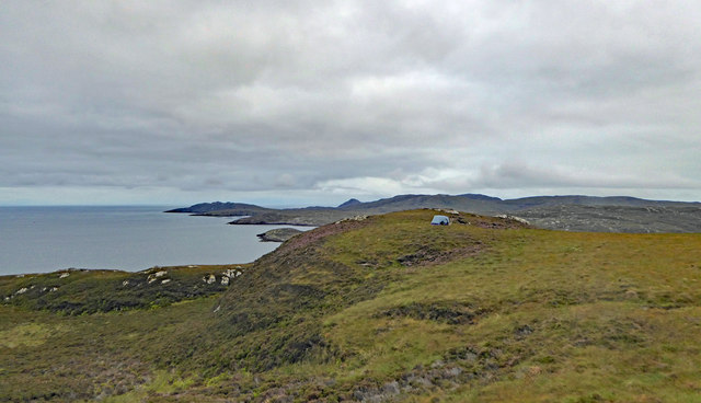
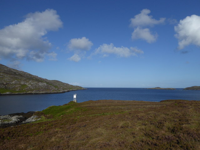
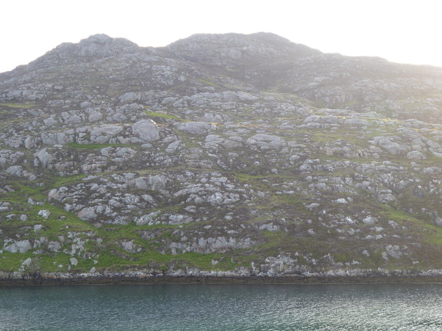
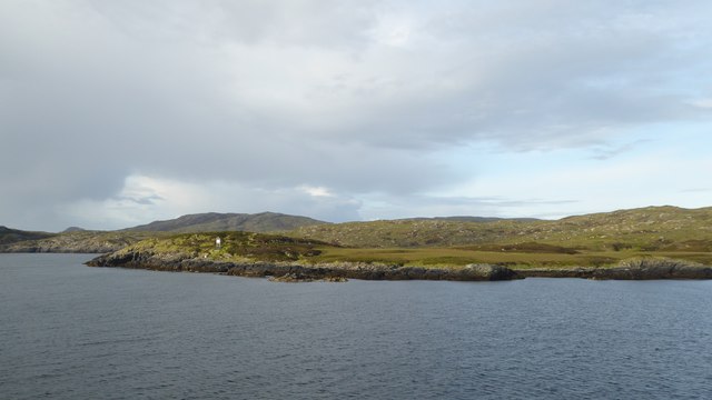
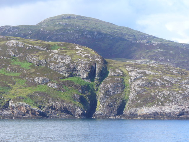
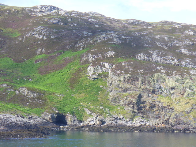
Sloc a' Mhòr-Mhuil is a stunning bay located in Inverness-shire, Scotland. Situated on the west coast, this bay offers breathtaking views of the surrounding landscape and is a popular destination for nature lovers and outdoor enthusiasts.
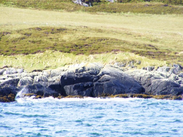
The bay is characterized by its pristine sandy beach, crystal-clear turquoise waters, and rugged cliffs that provide a dramatic backdrop. The beach stretches for approximately a mile, offering ample space for visitors to relax, sunbathe, or take leisurely walks along the shore. The sand is fine and golden, making it an ideal spot for families and beachcombers.
Sloc a' Mhòr-Mhuil is also a haven for wildlife. The bay is home to a variety of bird species, including oystercatchers, gulls, and sandpipers. Visitors may also spot seals playing in the water or sunbathing on the rocks. The area surrounding the bay is a designated Site of Special Scientific Interest, emphasizing the importance of its ecological value.
For those seeking adventure, Sloc a' Mhòr-Mhuil offers excellent opportunities for water sports such as kayaking, paddleboarding, and sailing. The bay is also a popular spot for fishing, with a variety of fish species inhabiting its waters.
The bay is easily accessible, with a car park located nearby. There are also public facilities, including toilets and picnic areas, making it a convenient destination for day trips or longer stays.
Overall, Sloc a' Mhòr-Mhuil is a picturesque bay that showcases the natural beauty of Inverness-shire. Its stunning scenery, diverse wildlife, and range of outdoor activities make it a must-visit location for those exploring the Scottish Highlands.
If you have any feedback on the listing, please let us know in the comments section below.
Sloc a' Mhòr-Mhuil Images
Images are sourced within 2km of 57.149771/-7.2694974 or Grid Reference NF8118. Thanks to Geograph Open Source API. All images are credited.
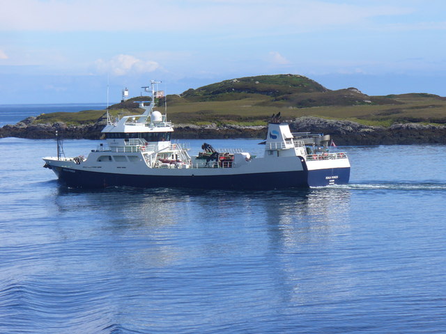
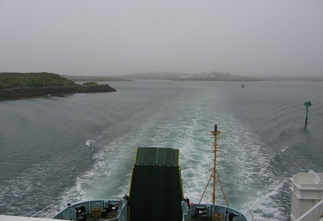
![Steaming out of Loch Baghasdail Not sure if 'steaming' is quite the right expression to describe the movement of a diesel powered car ferry. Taken from the deck of MV 'Lord of the Isles' having just passed the small island of Gasaigh [centre left]. Lochboisdale port can be seen in the distance.](https://s2.geograph.org.uk/geophotos/03/06/57/3065774_21c62608.jpg)
Sloc a' Mhòr-Mhuil is located at Grid Ref: NF8118 (Lat: 57.149771, Lng: -7.2694974)
Unitary Authority: Na h-Eileanan an Iar
Police Authority: Highlands and Islands
What 3 Words
///promises.digits.vaulting. Near Lochboisdale, Na h-Eileanan Siar
Nearby Locations
Related Wikis

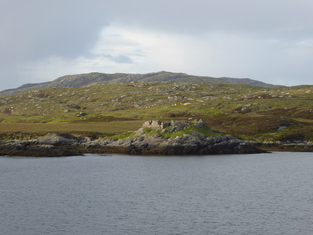
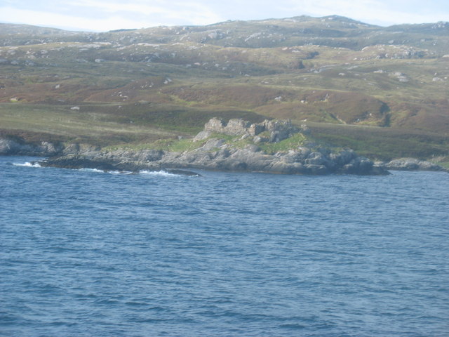
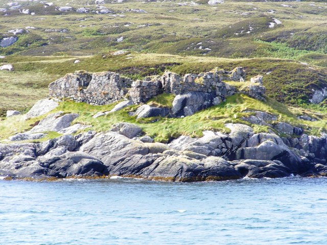
Calvay Castle
Calvay Castle (Scottish Gaelic: Caisteal Calbhaigh) is a ruined castle on an islet close to the island of Calbhaigh, at the eastern approaches to Loch...

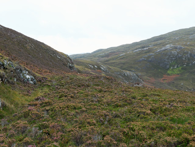
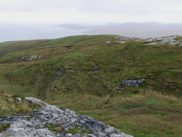
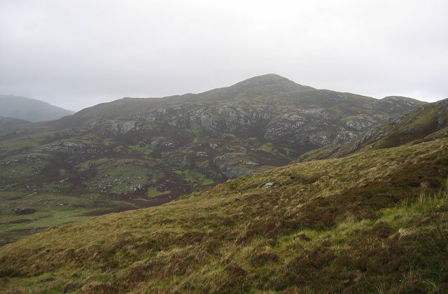
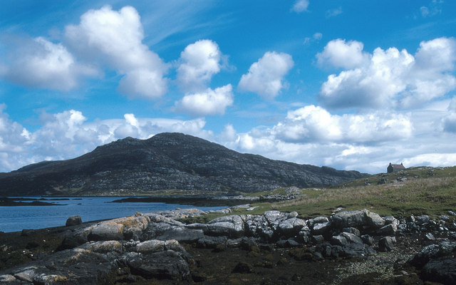
Beinn Ruigh Choinnich
Beinn Ruigh Choinnich is a hill which overlooks the port of Lochboisdale on the east coast of the island of South Uist in the Outer Hebrides Scotland....

Lochboisdale
Lochboisdale (Scottish Gaelic: Loch Baghasdail [ɫ̪ɔx ˈbɤːs̪t̪ɪl]) is the main village and port on the island of South Uist, Outer Hebrides, Scotland. Lochboisdale...

Eileanan Iasgaich
Na h-Eileanan Iasgaich comprise a small uninhabited archipelago in Loch Boisdale, in the south east of the island of South Uist, in the Outer Hebrides...
Have you been to Sloc a' Mhòr-Mhuil?
Leave your review of Sloc a' Mhòr-Mhuil below (or comments, questions and feedback).