Calbhaigh
Island in Inverness-shire
Scotland
Calbhaigh
Calbhaigh is a small island located off the west coast of Scotland in the county of Inverness-shire. Situated in the Inner Hebrides, it is part of a group of islands known as the Small Isles, along with Eigg, Muck, and Rum. With a land area of approximately 5 square miles, Calbhaigh is the second-largest island in the Small Isles.
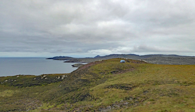
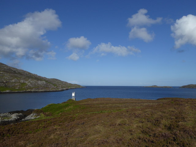
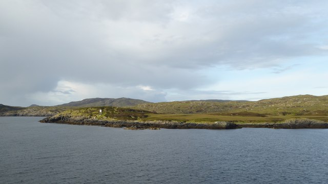
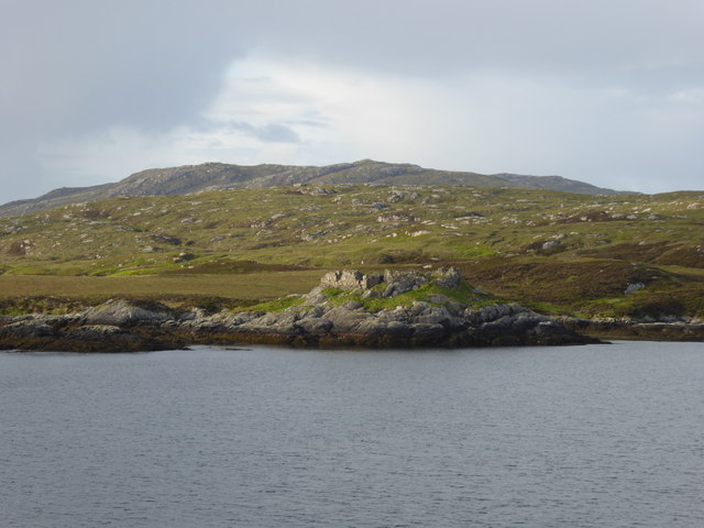
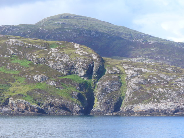
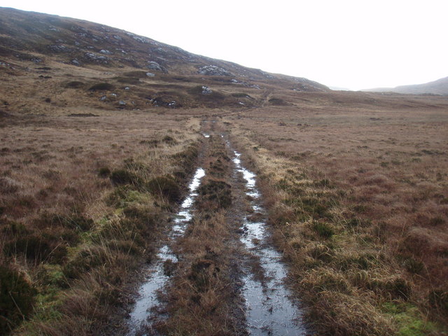
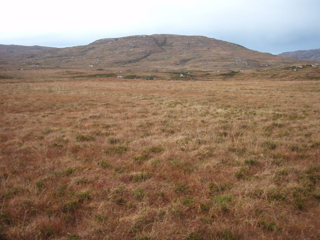
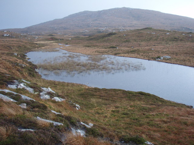
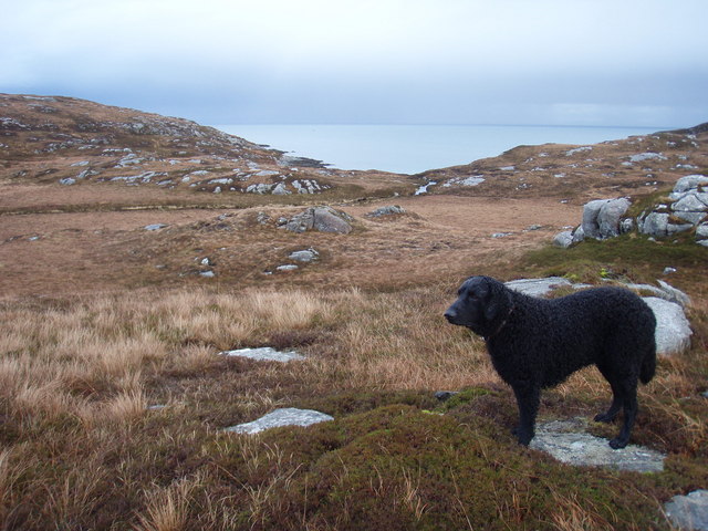
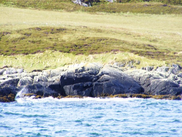
The island's rugged and unspoiled landscape is a major draw for nature enthusiasts and outdoor adventurers. It is characterized by rolling hills, moorland, and stunning coastal cliffs. Calbhaigh boasts diverse flora and fauna, including several rare and protected species of birds, plants, and marine life. The island's pristine beaches, such as Laig Bay, attract visitors looking for tranquility and natural beauty.
Calbhaigh is sparsely populated, with a small community of residents who primarily engage in fishing, farming, and tourism-related activities. The main settlement is the village of Cleadale, which offers basic amenities such as a post office, a few shops, and accommodation options for visitors.
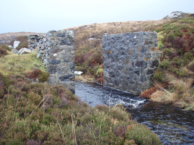
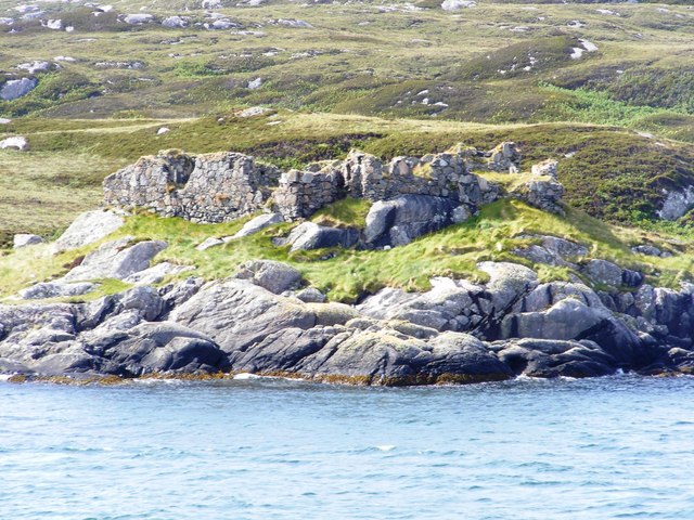
Historically, Calbhaigh has been inhabited for centuries, and evidence of ancient settlements can still be found on the island. The ruins of a Viking burial ground and several standing stones are notable historical landmarks. Additionally, the island is known for its connection to the Scottish Gaelic language, with many residents still speaking it fluently.
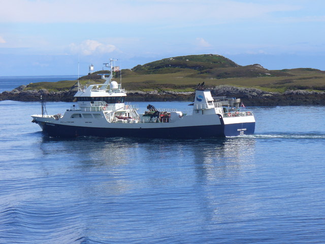
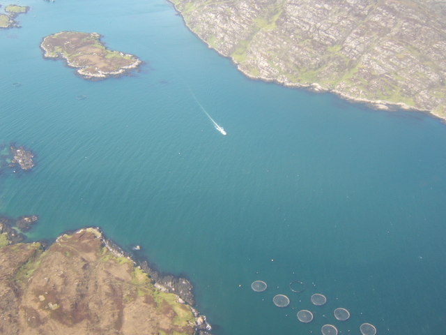
Access to Calbhaigh is primarily by ferry, with regular services operating from the mainland town of Mallaig. The island's remote location and untouched landscapes make it a hidden gem for those seeking a peaceful retreat in the heart of Scotland's natural beauty.
If you have any feedback on the listing, please let us know in the comments section below.
Calbhaigh Images
Images are sourced within 2km of 57.142329/-7.2609383 or Grid Reference NF8118. Thanks to Geograph Open Source API. All images are credited.
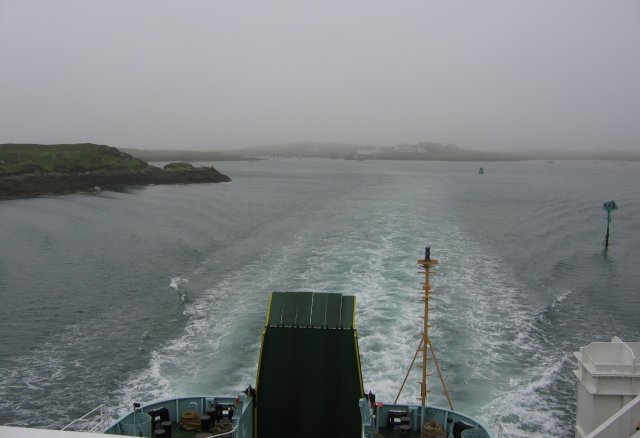
![Steaming out of Loch Baghasdail Not sure if 'steaming' is quite the right expression to describe the movement of a diesel powered car ferry. Taken from the deck of MV 'Lord of the Isles' having just passed the small island of Gasaigh [centre left]. Lochboisdale port can be seen in the distance.](https://s2.geograph.org.uk/geophotos/03/06/57/3065774_21c62608.jpg)

Calbhaigh is located at Grid Ref: NF8118 (Lat: 57.142329, Lng: -7.2609383)
Unitary Authority: Na h-Eileanan an Iar
Police Authority: Highlands and Islands
What 3 Words
///bulky.repeating.bulk. Near Lochboisdale, Na h-Eileanan Siar
Nearby Locations
Related Wikis

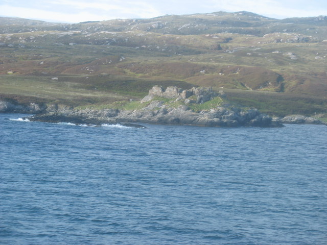
Calvay Castle
Calvay Castle (Scottish Gaelic: Caisteal Calbhaigh) is a ruined castle on an islet close to the island of Calbhaigh, at the eastern approaches to Loch...

Beinn Ruigh Choinnich
Beinn Ruigh Choinnich is a hill which overlooks the port of Lochboisdale on the east coast of the island of South Uist in the Outer Hebrides Scotland....

Eileanan Iasgaich
Na h-Eileanan Iasgaich comprise a small uninhabited archipelago in Loch Boisdale, in the south east of the island of South Uist, in the Outer Hebrides...

Lochboisdale
Lochboisdale (Scottish Gaelic: Loch Baghasdail [ɫ̪ɔx ˈbɤːs̪t̪ɪl]) is the main village and port on the island of South Uist, Outer Hebrides, Scotland. Lochboisdale...
Nearby Amenities
Located within 500m of 57.142329,-7.2609383Have you been to Calbhaigh?
Leave your review of Calbhaigh below (or comments, questions and feedback).