Rubh'an t-Seagail
Coastal Feature, Headland, Point in Inverness-shire
Scotland
Rubh'an t-Seagail

Rubh'an t-Seagail is a prominent coastal feature located in Inverness-shire, Scotland. Also known as Seagull Point, it is a captivating headland that stretches out into the North Sea. This picturesque location is situated about 10 miles northeast of Inverness, making it easily accessible for visitors and locals alike.
The name Rubh'an t-Seagail, derived from the Gaelic language, translates to "point of the seagull." This is a fitting name, as the headland is home to a variety of seabirds, including seagulls, which can be seen soaring gracefully over the cliffs and nesting in the rugged terrain.
The headland offers breathtaking panoramic views of the surrounding coastline, with its towering cliffs and rocky outcrops. The rugged beauty of Rubh'an t-Seagail is further enhanced by the crashing waves of the North Sea, which relentlessly shape the coastline and create a mesmerizing soundscape.
For nature enthusiasts and photographers, Rubh'an t-Seagail is a haven of natural beauty and wildlife. The headland is known for its diverse flora and fauna, including rare plant species and marine life. Seals can often be spotted basking on the rocks, and occasionally, dolphins and whales can be seen swimming in the distance.
Access to Rubh'an t-Seagail is relatively easy, with a well-maintained footpath leading to the headland from a nearby parking area. Visitors are advised to wear appropriate footwear as the terrain can be uneven and slippery, especially during wet weather.
Whether it's for a peaceful coastal walk, birdwatching, or simply to immerse oneself in the awe-inspiring beauty of the Scottish coastline, Rubh'an t-Seagail is a must-visit destination in Inverness-shire.
If you have any feedback on the listing, please let us know in the comments section below.
Rubh'an t-Seagail Images
Images are sourced within 2km of 57.531276/-7.3262311 or Grid Reference NF8161. Thanks to Geograph Open Source API. All images are credited.


Rubh'an t-Seagail is located at Grid Ref: NF8161 (Lat: 57.531276, Lng: -7.3262311)
Unitary Authority: Na h-Eileanan an Iar
Police Authority: Highlands and Islands
What 3 Words
///turns.something.original. Near Balivanich, Na h-Eileanan Siar
Related Wikis

Battle of Carinish
The Battle of Carinish was a Scottish clan battle fought in North Uist in 1601. It was part of a year of feuding between Clan MacLeod of Dunvegan and the...

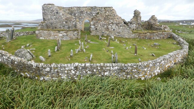
Teampull na Trionaid
Teampull na Trionaid ("trinity church") is a ruined 13th-century Augustinian nunnery at Carinish, on North Uist, in the Outer Hebrides of Scotland. �...

Carinish
Carinish (Scottish Gaelic: Càirinis), is a hamlet on North Uist, in the Outer Hebrides, Scotland. It is in the south of the island, about two miles (three...

Bail' Iochdrach
Bail' Iochdrach or Baliochrach (Scottish Gaelic: Am Baile Ìochdrach) is a village on Benbecula in the Outer Hebrides, Scotland. Baliochrach is within the...
Nearby Amenities
Located within 500m of 57.531276,-7.3262311Have you been to Rubh'an t-Seagail?
Leave your review of Rubh'an t-Seagail below (or comments, questions and feedback).