Baxenden

Settlement in Lancashire Hyndburn

England

Baxenden

Farmland with pylons Between Accrington and Haslingden
Farmland with pylons Credit: Eirian Evans

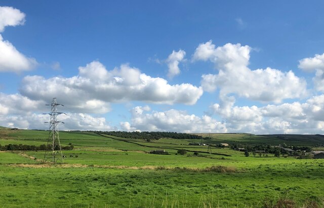
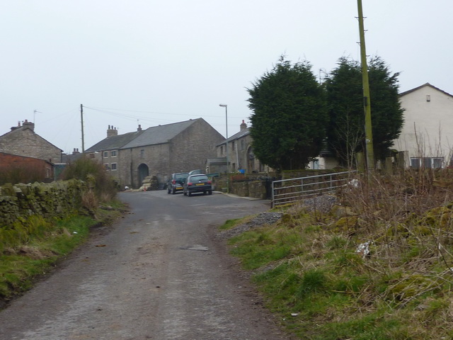
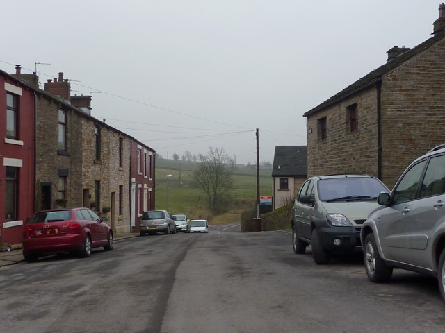
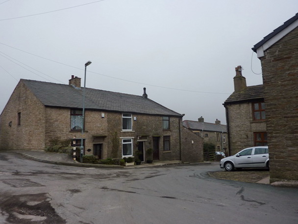
Baxenden is a village located in the county of Lancashire, England. Situated approximately 2 miles north of Accrington, it falls within the Hyndburn borough. Baxenden is surrounded by beautiful countryside, with the River Hyndburn flowing nearby.

With its roots dating back to the medieval period, Baxenden was historically known for its farming and textile industries. During the Industrial Revolution, the village experienced significant growth, and many cotton mills were established, contributing to its economic prosperity.

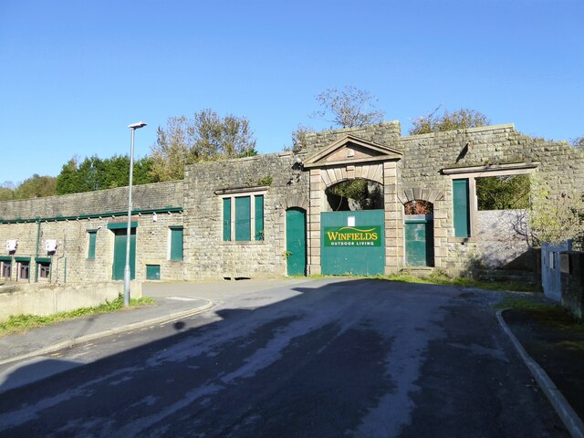
Today, Baxenden retains its rural charm while also embracing modern developments. The village is home to a close-knit community, with a range of amenities and services available for its residents. There are several local shops, including a post office, convenience stores, and a few traditional pubs.

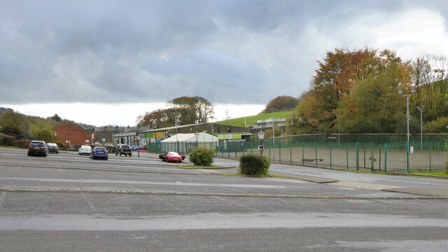
Baxenden is well-served by transportation links, with regular bus services connecting the village to nearby towns and cities. The M65 motorway is also easily accessible, offering convenient connections to larger urban centers.

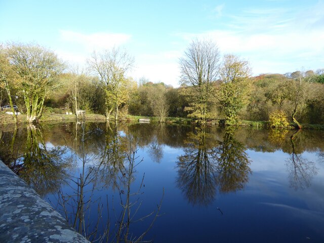
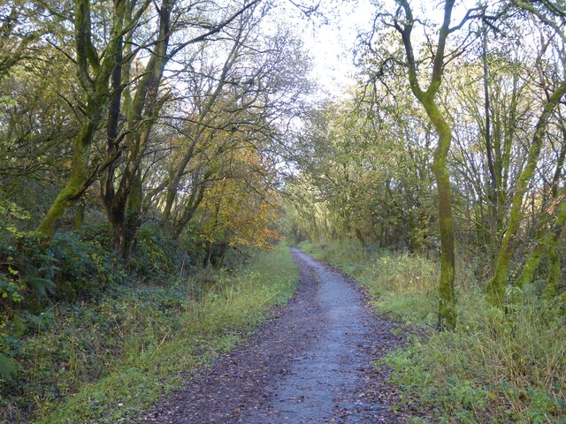
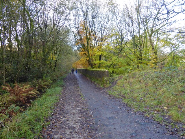
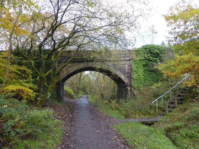
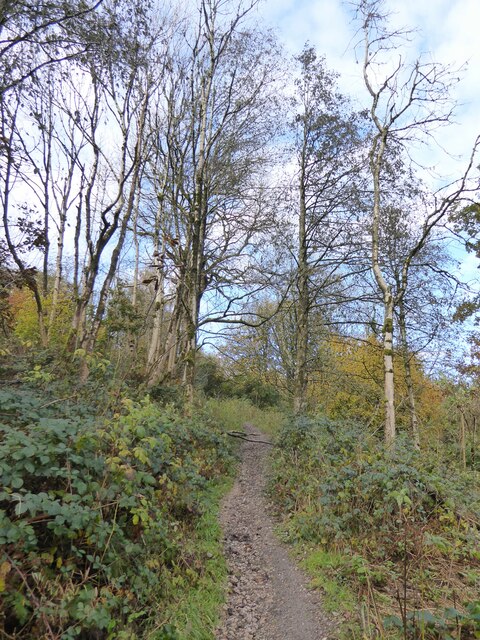
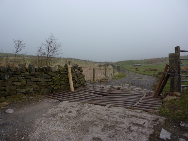
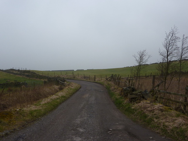
The village boasts a number of recreational facilities, including parks and green spaces, providing opportunities for outdoor activities and leisurely walks. The nearby countryside offers picturesque views and is popular among nature enthusiasts and hikers.

Overall, Baxenden offers a peaceful and idyllic setting, combining its rich history with modern amenities, making it an attractive place to live or visit in the heart of Lancashire.

If you have any feedback on the listing, please let us know in the comments section below.
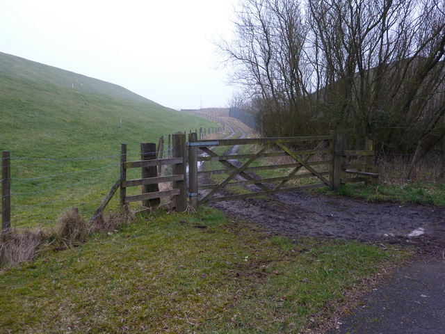
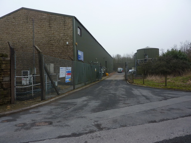
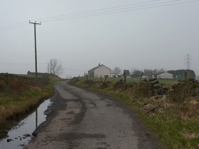
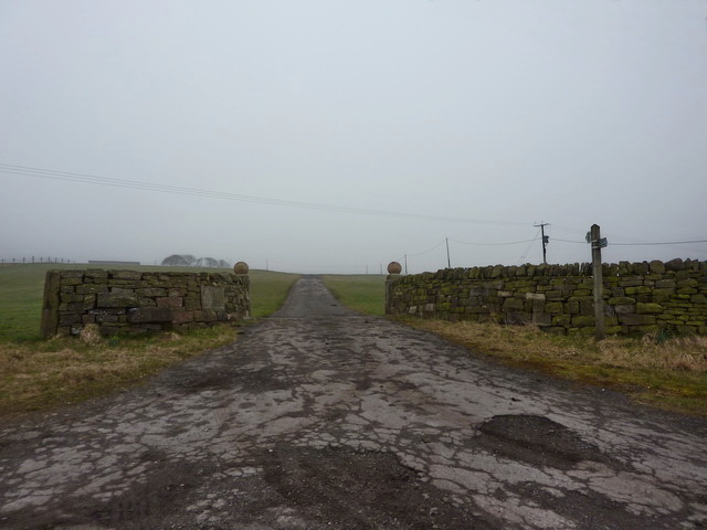
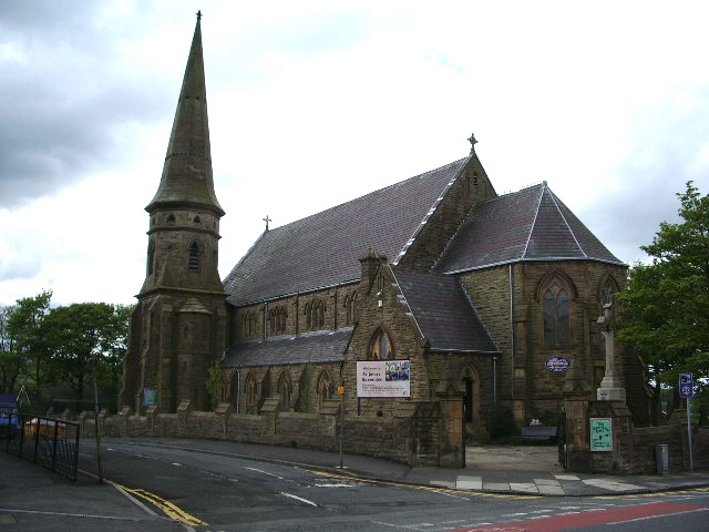
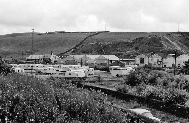
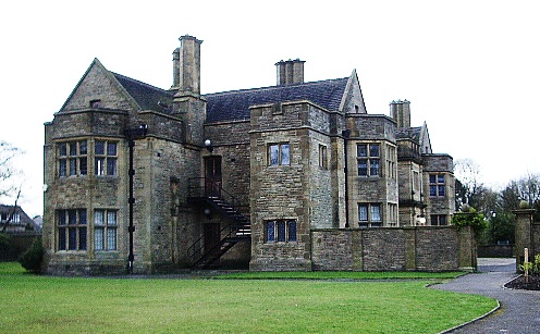
Baxenden Images

Images are sourced within 2km of 53.732591/-2.345582 or Grid Reference SD7726. Thanks to Geograph Open Source API. All images are credited.

Farmland with pylons Between Accrington and Haslingden
Farmland with pylons
Between Accrington and Haslingden
Facade of Hazel Mill entrance The former carriage arch facing Shaw Street, now used for advertising
Facade of Hazel Mill entrance
The former carriage arch facing Shaw Street, now used for advertising
Former mill pond Now used by anglers at Sweet Clough
Former mill pond
Now used by anglers at Sweet Clough
Cycle path following route of former railway On the former route to Accrington from Bury having just passed Alliance Mill. The path is known as Hyndburn Greenway.
Cycle path following route of former railway
On the former route to Accrington from Bury having just passed Alliance Mill. The path is known as Hyndburn Greenway.
Cycle path following route of former railway On the Hyndburn Greenway with the walling on the right protecting traffic from falling down a steep drop into Woodnook Water
Cycle path following route of former railway
On the Hyndburn Greenway with the walling on the right protecting traffic from falling down a steep drop into Woodnook Water
Bridge over former railway A cycle route known as the Hyndburn Greenway now passes under the bridge which gives access to Priestley Clough
Bridge over former railway
A cycle route known as the Hyndburn Greenway now passes under the bridge which gives access to Priestley Clough
Path in Priestley Clough One of the paths climbing on the west bank of Woodnook Water away from the footbridge across the stream. These paths are not on OS maps but seem to link Bullough Park with Priestley Clough and Woodnook Vale Nature Reserve.
Path in Priestley Clough
One of the paths climbing on the west bank of Woodnook Water away from the footbridge across the stream. These paths are not on OS maps but seem to link Bullough Park with Priestley Clough and Woodnook Vale Nature Reserve.
Car park for retail premises Housing once stood on some of the car park the access road for which is Ormerod Street
Car park for retail premises
Housing once stood on some of the car park the access road for which is Ormerod Street
Track west side of Mitchell's House Reservoir
Filter house, Mitchell's House Reservoir
King's Highway, north of Black Moss Nook Farm
Entrance and road to Hen Heads Farm
Cattle grid and the road to High Withins
Goodshaw Lane
Goodshaw Lane
King's Highway, north of Stone Fold
King's Highway, Stone Fold
Junction of King's Highway and Northfield Road
Northfield Road as it passes under the A56
Show me another place!

Baxenden is located at Grid Ref: SD7726 (Lat: 53.732591, Lng: -2.345582)

Administrative County: Lancashire

District: Hyndburn

Police Authority: Lancashire

What 3 Words

///couple.squeezed.windmills. Near Accrington, Lancashire

Related Wikis

Baxenden

Baxenden is a village and ward in the Borough of Hyndburn in Lancashire, North-West England. The ward population taken at the 2011 census was 4,042. Baxenden...

Baxenden railway station

Baxenden railway station served the villages of Baxenden in Hyndburn and Rising Bridge in Rossendale. It was situated just inside the old boundary of Haslingden...

The Hollins

The Hollins (formerly known as The Hollins Technology College until 2017) is a coeducational secondary school located in Accrington in the English county...

Haworth Art Gallery

The Haworth Art Gallery is a public art gallery located in Accrington, Lancashire, northwest England, and is the home of the largest collection in Europe...

River Hyndburn

The River Hyndburn is a minor river in Lancashire, England. Beginning as Woodnook Water on the slopes of Goodshaw Hill, it passes through Stone Fold, Rising...

Accrington and Rossendale College

Accrington and Rossendale College is a further education college based in Accrington, Lancashire, England. == The College == Accrington & Rossendale College...

Heathland School

Heathland School is an independent school situated in Accrington, Lancashire in England. The school accepts children from the age of three months in the...

Acre, Lancashire

Acre is a Victorian village situated along the A56 Blackburn Road between the village of Rising Bridge and the town of Haslingden in Rossendale Lancashire...

Nearby Amenities

Located within 500m of 53.732591,-2.345582
Baxenden
Place: village
Source: npe
Lat/Long: 53.7311017/-2.3435328
Turning Circle
Lat/Long: 53.7362173/-2.3445652
Turning Circle
Lat/Long: 53.7355726/-2.3426254
Turning Circle
Lat/Long: 53.7364334/-2.3440711
Post Box
Lat/Long: 53.7309019/-2.341943
Bus Stop
Public Transport: platform
Lat/Long: 53.7307457/-2.3412896
Post Office
Source: OS_OpenData_StreetView
Lat/Long: 53.7351913/-2.3465044
Baxenden Cricket Club
Tourism: attraction
Lat/Long: 53.733661/-2.3408992
Pharmacy
Lat/Long: 53.734732/-2.3462536
Crossing
Crossing: traffic_signals
Crossing Ref: pelican
Kerb: lowered
Tactile Paving: yes
Lat/Long: 53.7360935/-2.3481065
The data included in this document is from www.openstreetmap.org. The data is made available under ODbL.

Have you been to Baxenden?

Leave your review of Baxenden below (or comments, questions and feedback).