Higher Baxenden

Settlement in Lancashire Hyndburn

England

Higher Baxenden

Farmland with pylons Between Accrington and Haslingden
Farmland with pylons Credit: Eirian Evans

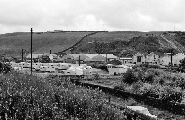
Higher Baxenden is a small village located in the county of Lancashire, in the northwest of England. Situated approximately 2 miles north of the town of Accrington, Higher Baxenden falls within the borough of Hyndburn.

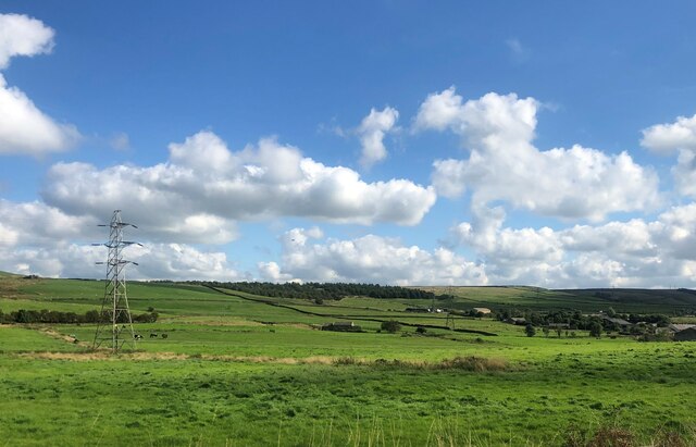
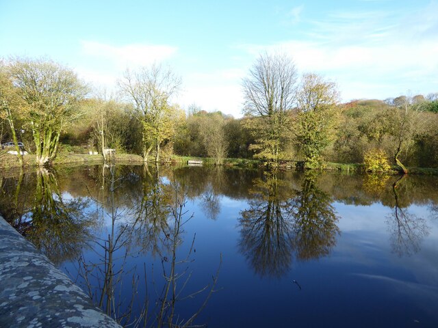
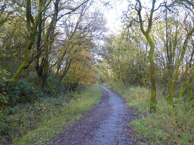
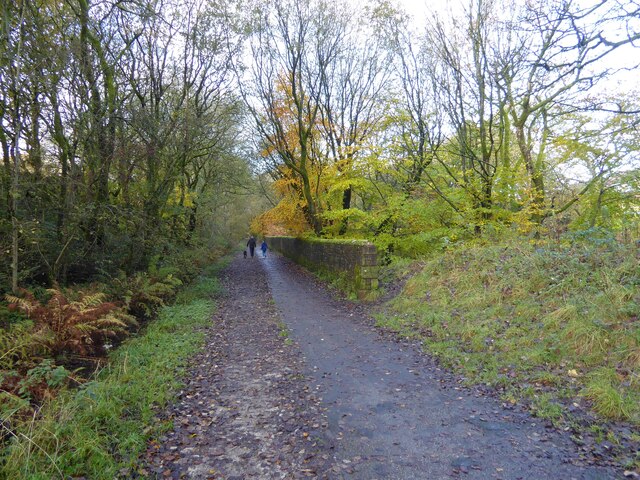
The village is surrounded by picturesque countryside, with rolling hills and scenic landscapes that attract outdoor enthusiasts and nature lovers. The River Hyndburn runs through the village, adding to its charm and providing a tranquil setting.

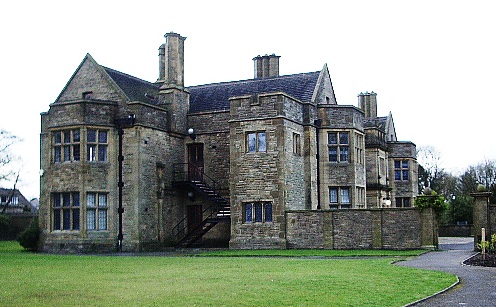
Higher Baxenden is known for its rich history, dating back to medieval times. The village is home to several historic buildings, including Higher Baxenden Hall, a Grade II listed building that dates back to the 17th century. This beautiful manor house is a prominent feature in the village and adds to its character.

In terms of amenities, Higher Baxenden offers a range of facilities to its residents. These include a primary school, a local convenience store, and a village hall that hosts various community events and activities.

The village is well-connected to surrounding areas via major road networks, including the A56 and the M65 motorway, which provide easy access to nearby towns and cities. Additionally, public transportation options are available, with regular bus services connecting Higher Baxenden to Accrington and other nearby towns.

Overall, Higher Baxenden is a charming village that offers a peaceful and scenic setting, along with a rich historical heritage, making it an attractive place to live or visit.

If you have any feedback on the listing, please let us know in the comments section below.

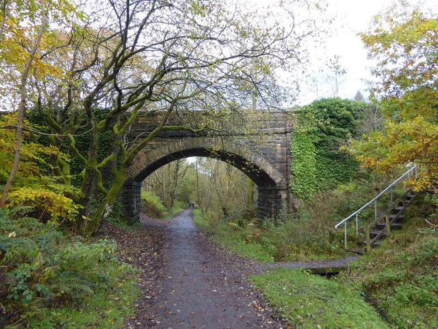
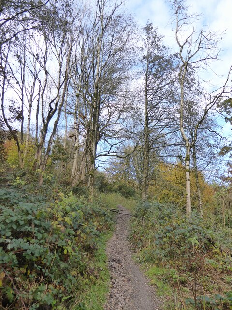
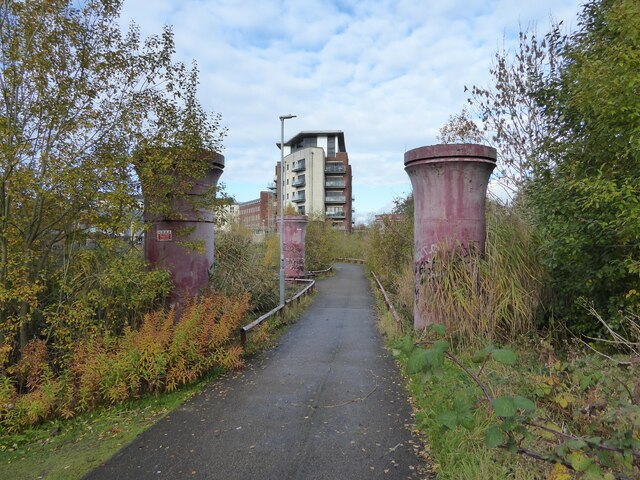
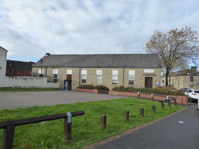
Higher Baxenden Images

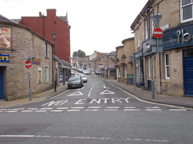
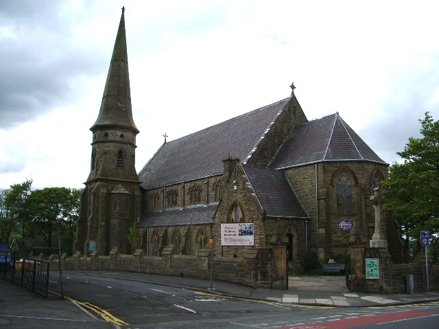
Images are sourced within 2km of 53.737116/-2.3479573 or Grid Reference SD7726. Thanks to Geograph Open Source API. All images are credited.

Farmland with pylons Between Accrington and Haslingden
Farmland with pylons
Between Accrington and Haslingden
Former mill pond Now used by anglers at Sweet Clough
Former mill pond
Now used by anglers at Sweet Clough
Cycle path following route of former railway On the former route to Accrington from Bury having just passed Alliance Mill. The path is known as Hyndburn Greenway.
Cycle path following route of former railway
On the former route to Accrington from Bury having just passed Alliance Mill. The path is known as Hyndburn Greenway.
Cycle path following route of former railway On the Hyndburn Greenway with the walling on the right protecting traffic from falling down a steep drop into Woodnook Water
Cycle path following route of former railway
On the Hyndburn Greenway with the walling on the right protecting traffic from falling down a steep drop into Woodnook Water
Bridge over former railway A cycle route known as the Hyndburn Greenway now passes under the bridge which gives access to Priestley Clough
Bridge over former railway
A cycle route known as the Hyndburn Greenway now passes under the bridge which gives access to Priestley Clough
Path in Priestley Clough One of the paths climbing on the west bank of Woodnook Water away from the footbridge across the stream. These paths are not on OS maps but seem to link Bullough Park with Priestley Clough and Woodnook Vale Nature Reserve.
Path in Priestley Clough
One of the paths climbing on the west bank of Woodnook Water away from the footbridge across the stream. These paths are not on OS maps but seem to link Bullough Park with Priestley Clough and Woodnook Vale Nature Reserve.
Cycle path following route of former railway The path is between the legs of a former viaduct across a mill pond, but will shortly leave the railway route which is built over after the viaduct.
Cycle path following route of former railway
The path is between the legs of a former viaduct across a mill pond, but will shortly leave the railway route which is built over after the viaduct.
Woodnook Centre A former school now an outreach centre for Trinity Community Church. The open area in front of the centre is the site of a Baptist Chapel.
Woodnook Centre
A former school now an outreach centre for Trinity Community Church. The open area in front of the centre is the site of a Baptist Chapel.
Houses by the junction at Green Haworth
Warner Street - Church Street
Oak Street - Church Street
A pathway in Peel Park
Bullough Park
Bullough Park
A squirrel in Bullough Park
Looking down the hill near Rothwell Heights
A fellow Geographer?
Green Haworth C of E Primary School
Track to Stone Fold
Track to Stone Fold
Show me another place!

Higher Baxenden is located at Grid Ref: SD7726 (Lat: 53.737116, Lng: -2.3479573)

Administrative County: Lancashire

District: Hyndburn

Police Authority: Lancashire

What 3 Words

///shutting.intruders.recover. Near Accrington, Lancashire

Related Wikis

The Hollins

The Hollins (formerly known as The Hollins Technology College until 2017) is a coeducational secondary school located in Accrington in the English county...

Baxenden

Baxenden is a village and ward in the Borough of Hyndburn in Lancashire, North-West England. The ward population taken at the 2011 census was 4,042. Baxenden...

Haworth Art Gallery

The Haworth Art Gallery is a public art gallery located in Accrington, Lancashire, northwest England, and is the home of the largest collection in Europe...

Baxenden railway station

Baxenden railway station served the villages of Baxenden in Hyndburn and Rising Bridge in Rossendale. It was situated just inside the old boundary of Haslingden...

Accrington and Rossendale College

Accrington and Rossendale College is a further education college based in Accrington, Lancashire, England. == The College == Accrington & Rossendale College...

Heathland School

Heathland School is an independent school situated in Accrington, Lancashire in England. The school accepts children from the age of three months in the...

River Hyndburn

The River Hyndburn is a minor river in Lancashire, England. Beginning as Woodnook Water on the slopes of Goodshaw Hill, it passes through Stone Fold, Rising...

Accrington

Accrington is a town in the Hyndburn borough of Lancashire, England. It lies about 4 miles (6 km) east of Blackburn, 6 miles (10 km) west of Burnley,...

Nearby Amenities

Located within 500m of 53.737116,-2.3479573
Turning Circle
Lat/Long: 53.7362173/-2.3445652
Turning Circle
Lat/Long: 53.7355726/-2.3426254
Turning Circle
Lat/Long: 53.7364334/-2.3440711
Turning Circle
Lat/Long: 53.7388166/-2.3437669
Turning Circle
Lat/Long: 53.7391009/-2.3443849
Windle News
Shop: convenience
Lat/Long: 53.7376037/-2.3505797
Post Office
Source: OS_OpenData_StreetView
Lat/Long: 53.7351913/-2.3465044
Pharmacy
Baxenden Pharmacy
Addr City: Accrington
Addr Housenumber: 514-516
Addr Postcode: BB5 2RG
Addr Street: Manchester Road
Dispensing: yes
Drive Through: no
Healthcare: pharmacy
Lat/Long: 53.7346807/-2.3462675
Crossing
Crossing: traffic_signals
Crossing Ref: pelican
Kerb: lowered
Tactile Paving: yes
Lat/Long: 53.7360935/-2.3481065
Dentist
Baxenden Dental Practice
Addr City: Accrington
Addr Housenumber: 522
Addr Postcode: BB5 2RG
Addr Street: Manchester Road
Healthcare: dentist
Lat/Long: 53.7345671/-2.3460945
Lindsay Jane
Shop: hairdresser
Lat/Long: 53.7352028/-2.3465813
Sandersons Butchers
Shop: butcher
Lat/Long: 53.7357015/-2.3472657
Fast Food
Kam Po House
Cuisine: chinese;fish
Lat/Long: 53.7357644/-2.3473245
Tesco Express
Addr City: Accrington
Addr Housenumber: 543
Addr Postcode: BB5 2QJ
Addr Street: Manchester Road
Brand: Tesco Express
Brand Wikidata: Q98456772
Fhrs Id: 1661060
Shop: convenience
Website: https://www.tesco.com/store-locator/accrington/543-manchester-road
Lat/Long: 53.7348043/-2.3459995
The data included in this document is from www.openstreetmap.org. The data is made available under ODbL.

Have you been to Higher Baxenden?

Leave your review of Higher Baxenden below (or comments, questions and feedback).