Lower Baxenden
Settlement in Lancashire Hyndburn
England
Lower Baxenden
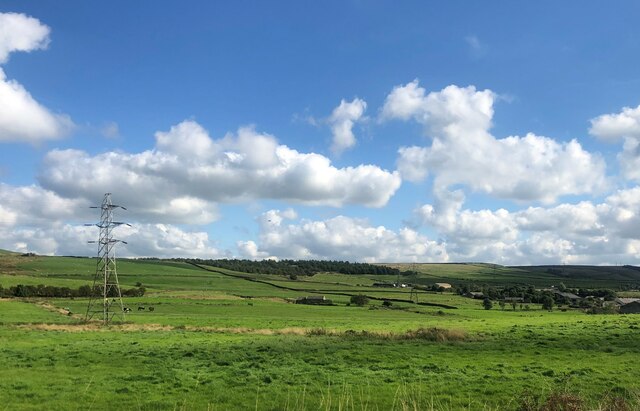
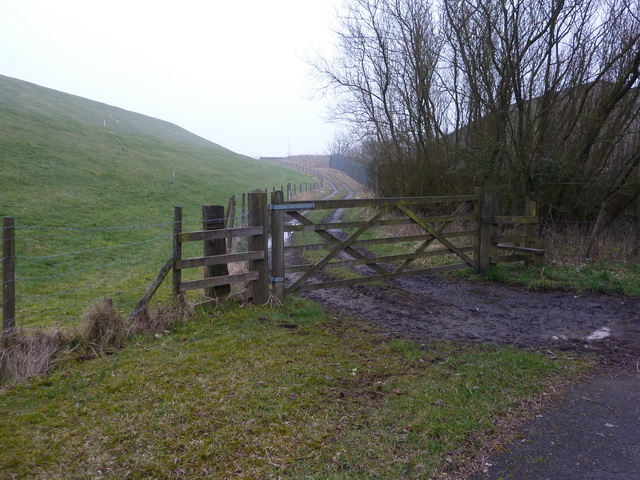
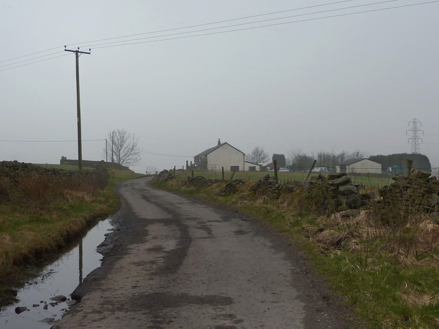
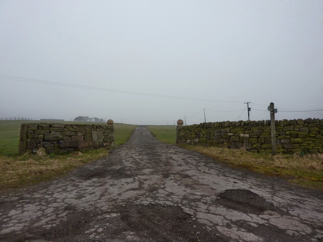
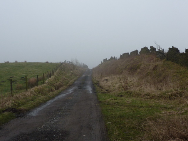
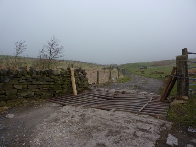
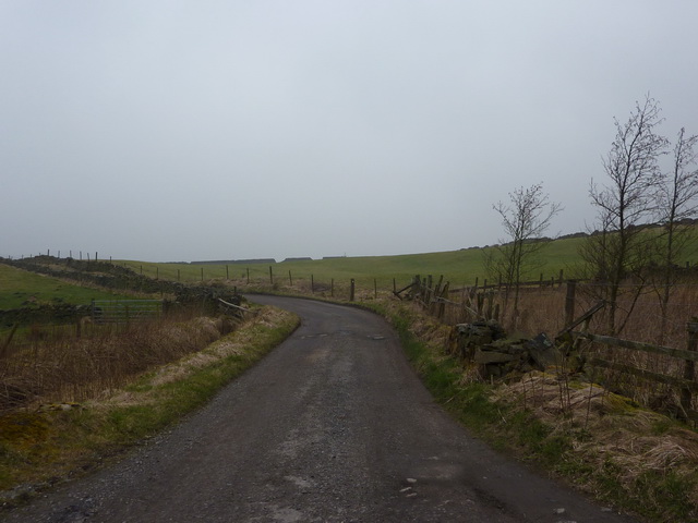
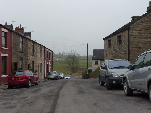
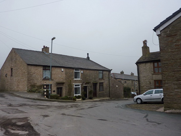
Lower Baxenden is a small village located in Lancashire, England. It is situated near the town of Accrington and is part of the larger borough of Hyndburn. The village is known for its picturesque countryside surroundings, with rolling hills and lush green fields.
Lower Baxenden has a long history, with records of the village dating back to the Domesday Book in 1086. It was originally a farming community, and agriculture still plays a significant role in the local economy today.
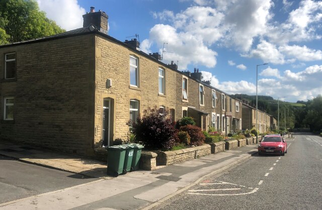
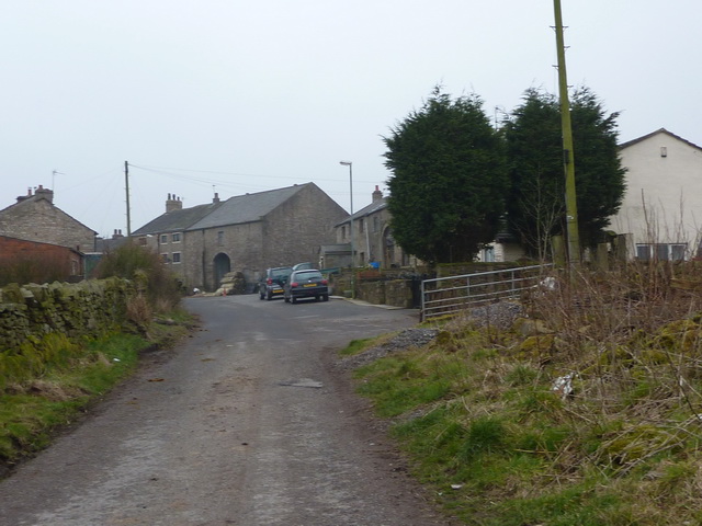
The village is home to a mix of traditional stone cottages and more modern housing developments. There are also several small shops, pubs, and restaurants in the village, providing residents with essential amenities.
Lower Baxenden is well-connected to the larger towns and cities in Lancashire, with good transport links via the nearby M65 motorway and regular bus services. The village is also close to several schools, making it an attractive location for families.
Overall, Lower Baxenden is a charming and peaceful village, offering residents a tranquil rural lifestyle within easy reach of urban amenities.
If you have any feedback on the listing, please let us know in the comments section below.
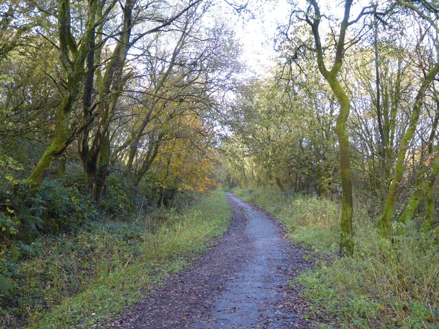
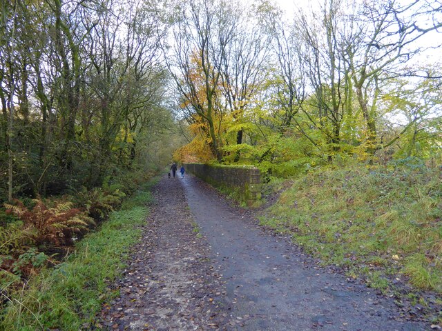
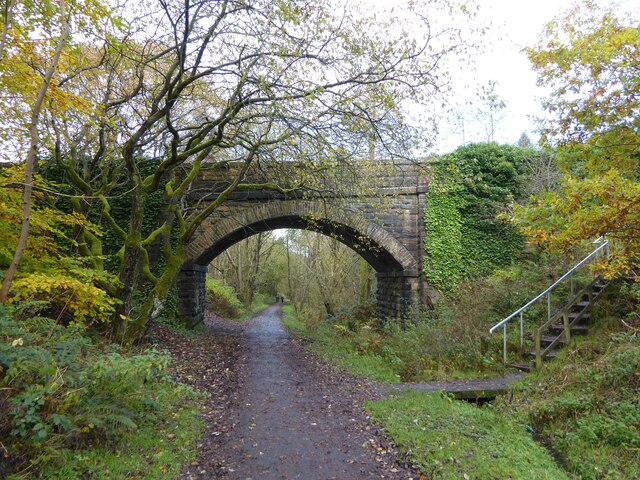
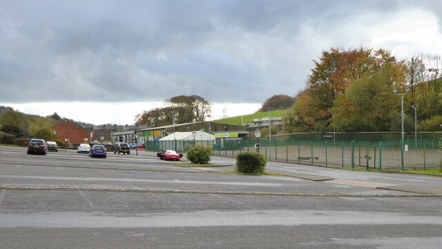
Lower Baxenden Images
Images are sourced within 2km of 53.730307/-2.3403678 or Grid Reference SD7726. Thanks to Geograph Open Source API. All images are credited.
Lower Baxenden is located at Grid Ref: SD7726 (Lat: 53.730307, Lng: -2.3403678)
Administrative County: Lancashire
District: Hyndburn
Police Authority: Lancashire
What 3 Words
///ombudsman.dome.buck. Near Accrington, Lancashire
Nearby Locations
Related Wikis
Baxenden railway station
Baxenden railway station served the villages of Baxenden in Hyndburn and Rising Bridge in Rossendale. It was situated just inside the old boundary of Haslingden...
Baxenden
Baxenden is a village and ward in the Borough of Hyndburn in Lancashire, North-West England. The ward population taken at the 2011 census was 4,042. Baxenden...

River Hyndburn
The River Hyndburn is a minor river in Lancashire, England. Beginning as Woodnook Water on the slopes of Goodshaw Hill, it passes through Stone Fold, Rising...

The Hollins
The Hollins (formerly known as The Hollins Technology College until 2017) is a coeducational secondary school located in Accrington in the English county...
Related Videos

Rossendale Round
A circular walk around the Rossendale Way taking in Musbury Heights , Hog Lowe Pike & Jamestone Quarry.

Haslingden Grane, Helmshore, Rossendale Way, Lancashire
Starting from Clough Head Information car park on the B6232, we took an anticlockwise direction for our walk. We took in part of ...

Musbury Heights abandoned Haslingden Quarry and Hog Lowe Pike hike // Rossendale, Lancashire
5.5 mile, approx 800 ft elevation circular hike up to Musbury Heights Haslingden Quarry and to Hog Lowe Pike. Saturday ...

Walk: Haslingden Grane / How Log Pike - Part One
In this video we (try to) follow two of the AA's 50 Walks in Lancashire & Cheshire; The Deserted Valley of Haslingden Grane and ...
Nearby Amenities
Located within 500m of 53.730307,-2.3403678Have you been to Lower Baxenden?
Leave your review of Lower Baxenden below (or comments, questions and feedback).