Bawtry
Settlement in Yorkshire
England
Bawtry
Bawtry is a small market town located in the Metropolitan Borough of Doncaster, in the county of South Yorkshire, England. Situated on the border between Yorkshire and Nottinghamshire, Bawtry lies approximately 20 miles southeast of the city of Sheffield and 10 miles northeast of Doncaster.
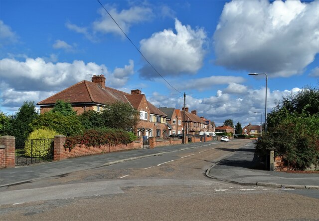
The town has a rich history dating back to Roman times, with evidence of settlements and Roman roads found in the surrounding area. Today, Bawtry is known for its charming and picturesque streets, lined with Georgian and Tudor-style buildings, which give the town a distinct and traditional character.
Bawtry's thriving market square is the heart of the town, where a weekly market takes place, offering a variety of locally sourced produce, crafts, and goods. The town also boasts a range of independent shops, boutiques, and antique stores, making it a popular destination for shoppers and tourists alike.
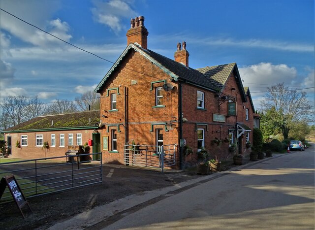
In recent years, Bawtry has gained a reputation as a gastronomic hub, with a selection of high-quality restaurants, cafes, and bars. These establishments offer a diverse range of cuisines, from traditional British to Mediterranean and Asian fusion, catering to a wide range of tastes.
The town is also well-known for its annual events, including the Bawtry Ladies Day, which attracts visitors from far and wide. This glamorous horse racing event is held at the nearby Doncaster Racecourse and is a highlight in the social calendar.
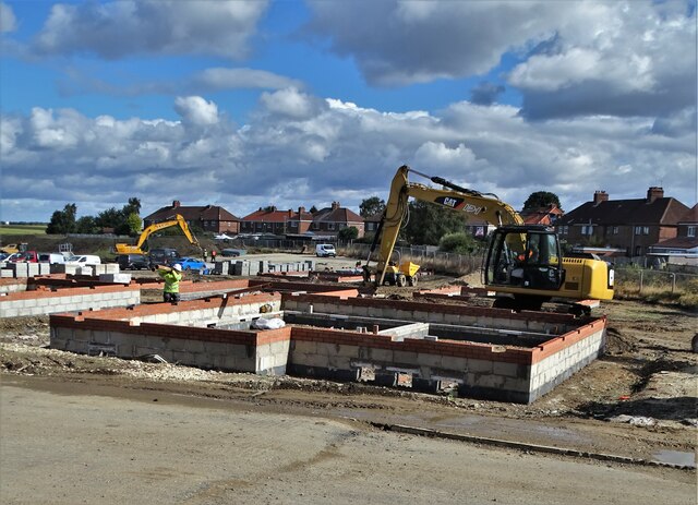
Overall, Bawtry is a quaint and charming market town that seamlessly blends its historical roots with modern amenities, making it a delightful place to visit or reside.
If you have any feedback on the listing, please let us know in the comments section below.
Bawtry Images
Images are sourced within 2km of 53.430085/-1.020982 or Grid Reference SK6593. Thanks to Geograph Open Source API. All images are credited.


Bawtry is located at Grid Ref: SK6593 (Lat: 53.430085, Lng: -1.020982)
Division: West Riding
Unitary Authority: Doncaster
Police Authority: South Yorkshire
What 3 Words
///roadways.lyricism.agreeable. Near Bawtry, South Yorkshire
Nearby Locations
Related Wikis

Hospital of St Mary Magdalene, Bawtry
The Hospital of St Mary Magdalene, Bawtry was a charity established in Bawtry in the thirteenth century. The surviving chapel building is now a masonic...

RAF Bawtry
Royal Air Force Bawtry or more simply RAF Bawtry is a former Royal Air Force station located at Bawtry Hall in Bawtry, South Yorkshire, England and was...
Rossington & Bawtry (ward)
Rossington & Bawtry—consisting of Austerfield, Bawtry and Rossington—is one of 21 electoral wards in the Metropolitan Borough of Doncaster, South Yorkshire...
Bawtry Wharf
Bawtry Wharf was a small Medieval port in the town of Bawtry, West Riding of Yorkshire, England. The port operated from a wharf on the River Idle, a small...

Bawtry
Bawtry is a market town and civil parish in the City of Doncaster in South Yorkshire, England. It lies 8 miles (13 km) south-east of Doncaster, 10 miles...
Bawtry gasworks contamination
In 2001, an area of residential land in Bawtry, South Yorkshire, England was found to contain hazardous by-products from the manufacture of coal gas. Under...
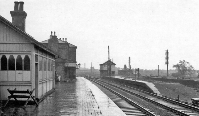
Bawtry railway station
Bawtry railway station was situated to the east of the town of Bawtry, South Yorkshire, England on the Great Northern Railway main line between Retford...
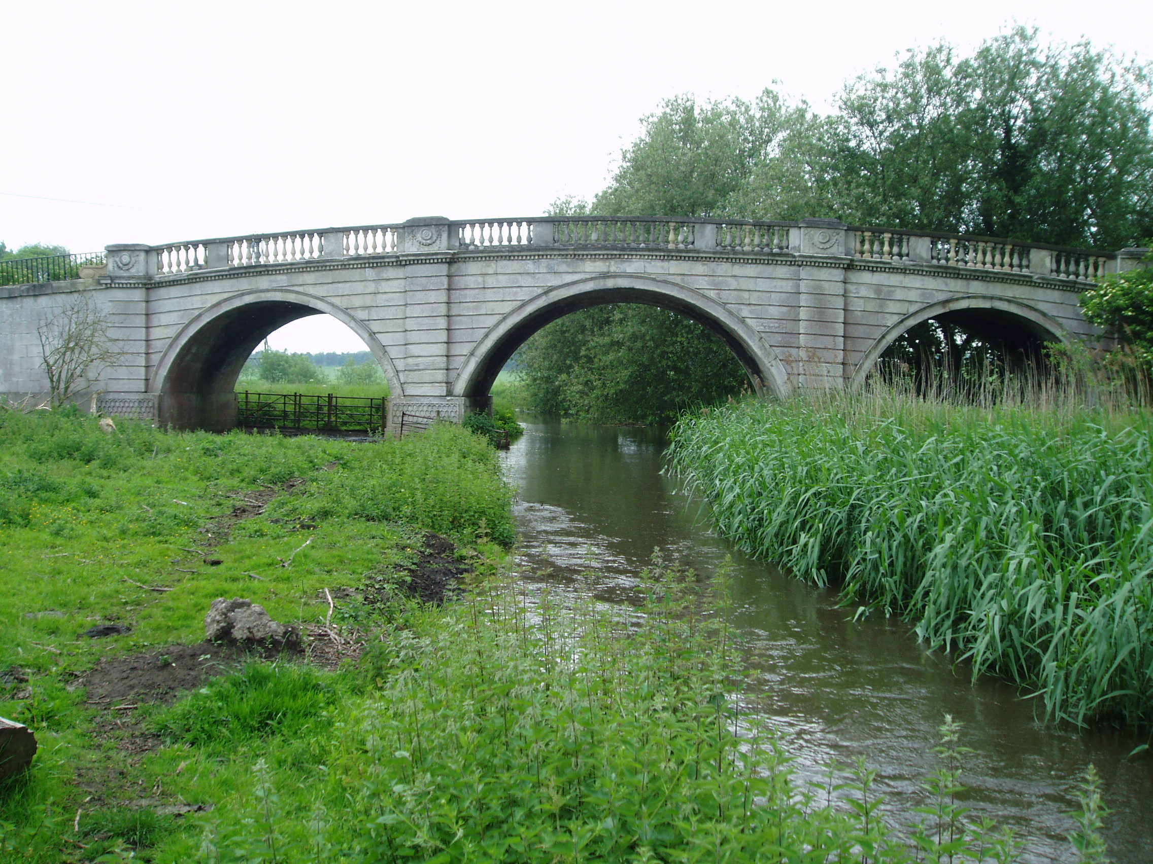
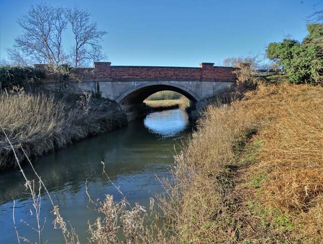
River Ryton
The River Ryton is a tributary of the River Idle. It rises close to the Chesterfield Canal near Kiveton Park, and is joined by a series of tributaries...
Nearby Amenities
Located within 500m of 53.430085,-1.020982Have you been to Bawtry?
Leave your review of Bawtry below (or comments, questions and feedback).