Bawsey

Settlement in Norfolk King's Lynn and West Norfolk

England

Bawsey

Pott Row Woods A rarely used track through the middle of the woods, a truly remote area for Norfolk!
Pott Row Woods Credit: Carl Bramham

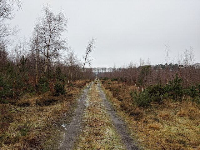
Bawsey is a small village located in the county of Norfolk, England. Situated approximately 4 miles east of the town of King's Lynn, Bawsey is nestled in the beautiful West Norfolk countryside. The village is known for its rural charm and peaceful atmosphere.

Historically, Bawsey was a thriving settlement, mentioned in the Domesday Book of 1086. It had a significant population during the medieval period, with evidence of a once prosperous market. Today, the village has a much smaller population, but it continues to retain its historical character.

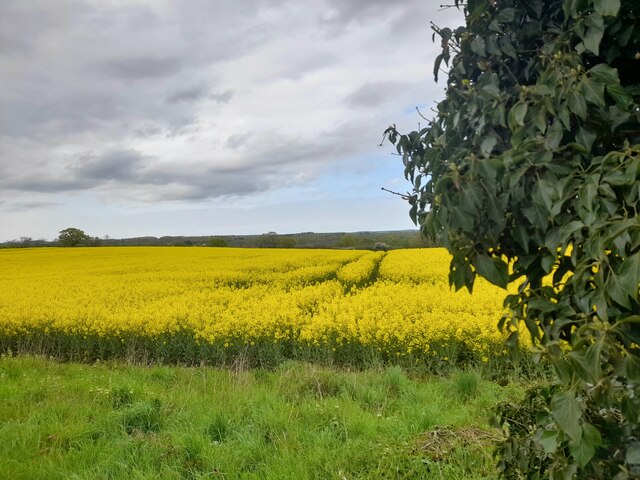
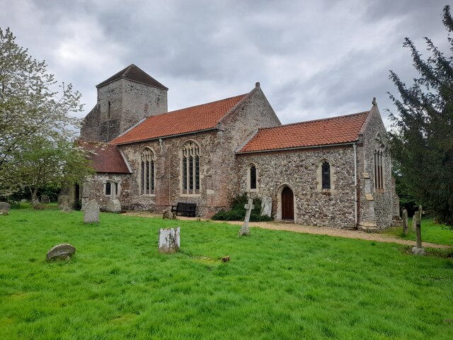
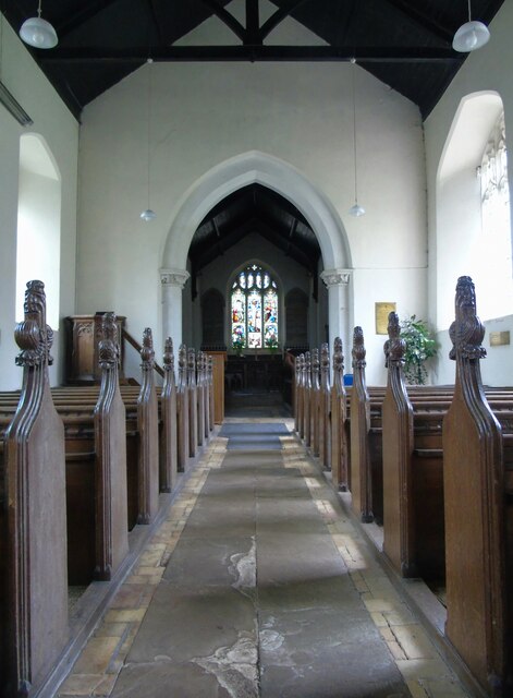
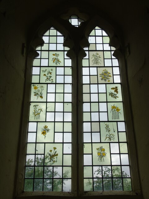
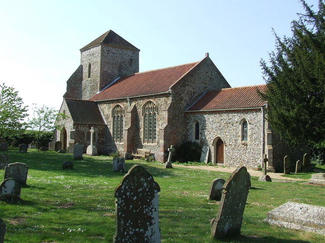
One of the notable landmarks in Bawsey is Bawsey Ruins, which consists of the remains of a medieval church and a nearby castle mound. These ruins are a popular attraction for visitors interested in the area's history. Additionally, Bawsey offers picturesque views of the surrounding countryside, making it a great destination for nature lovers and avid walkers.

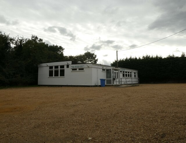
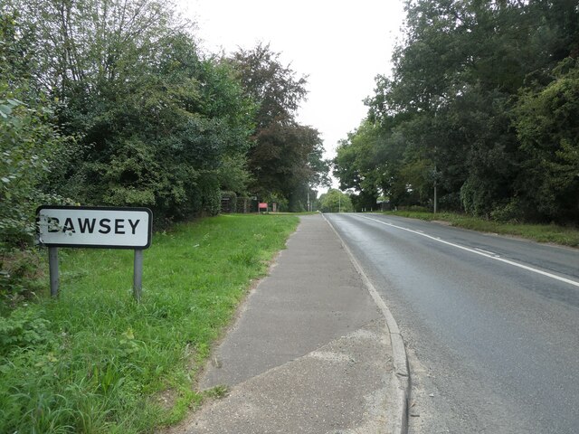
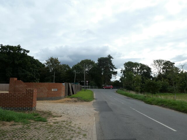
Although small in size, Bawsey is well-connected to nearby towns and cities. The A149 road runs close to the village, providing easy access to King's Lynn and other major routes. Despite its rural location, Bawsey benefits from a range of amenities, including a village hall and a local pub.

In conclusion, Bawsey is a quaint village in Norfolk, known for its historical significance and idyllic countryside setting. With its charming ruins and peaceful atmosphere, it offers a glimpse into the region's rich past and provides a tranquil escape from the hustle and bustle of city life.

If you have any feedback on the listing, please let us know in the comments section below.
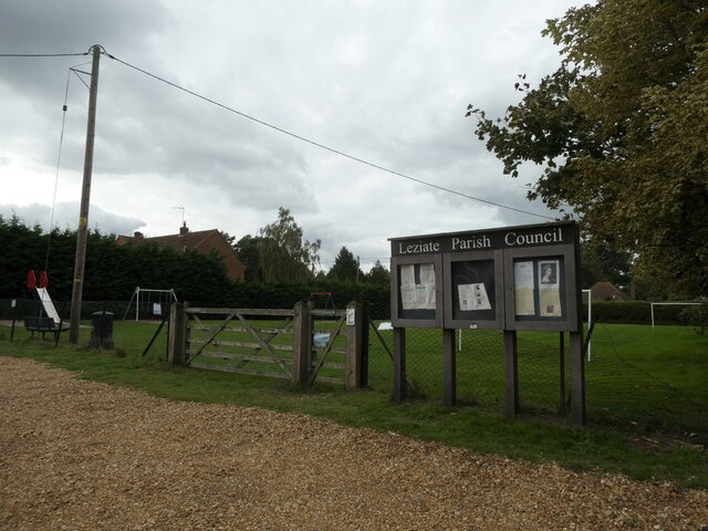
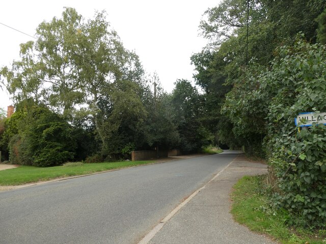
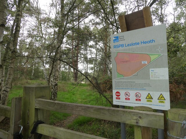
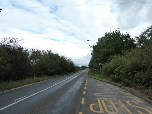
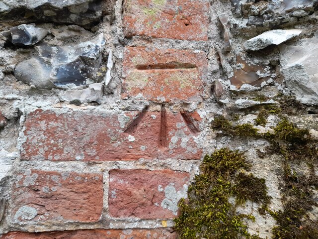
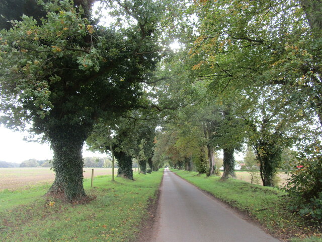
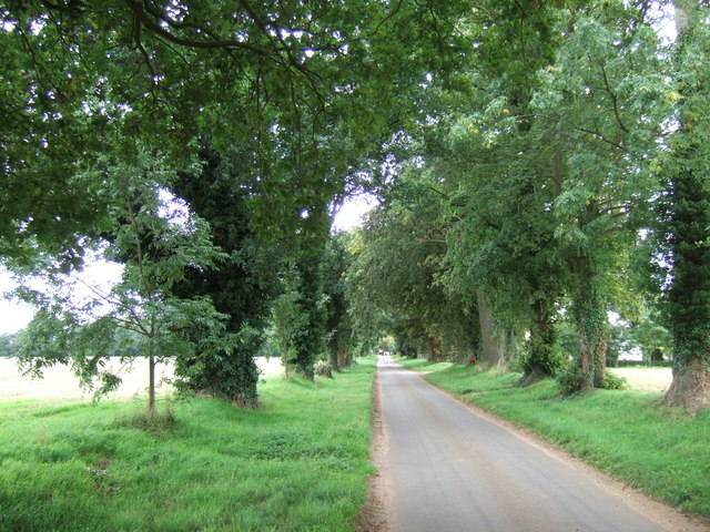
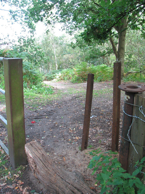
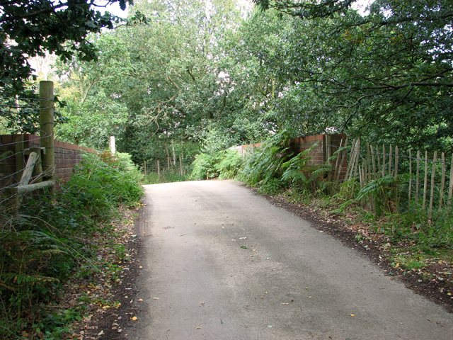
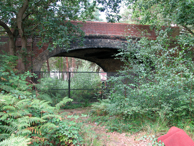
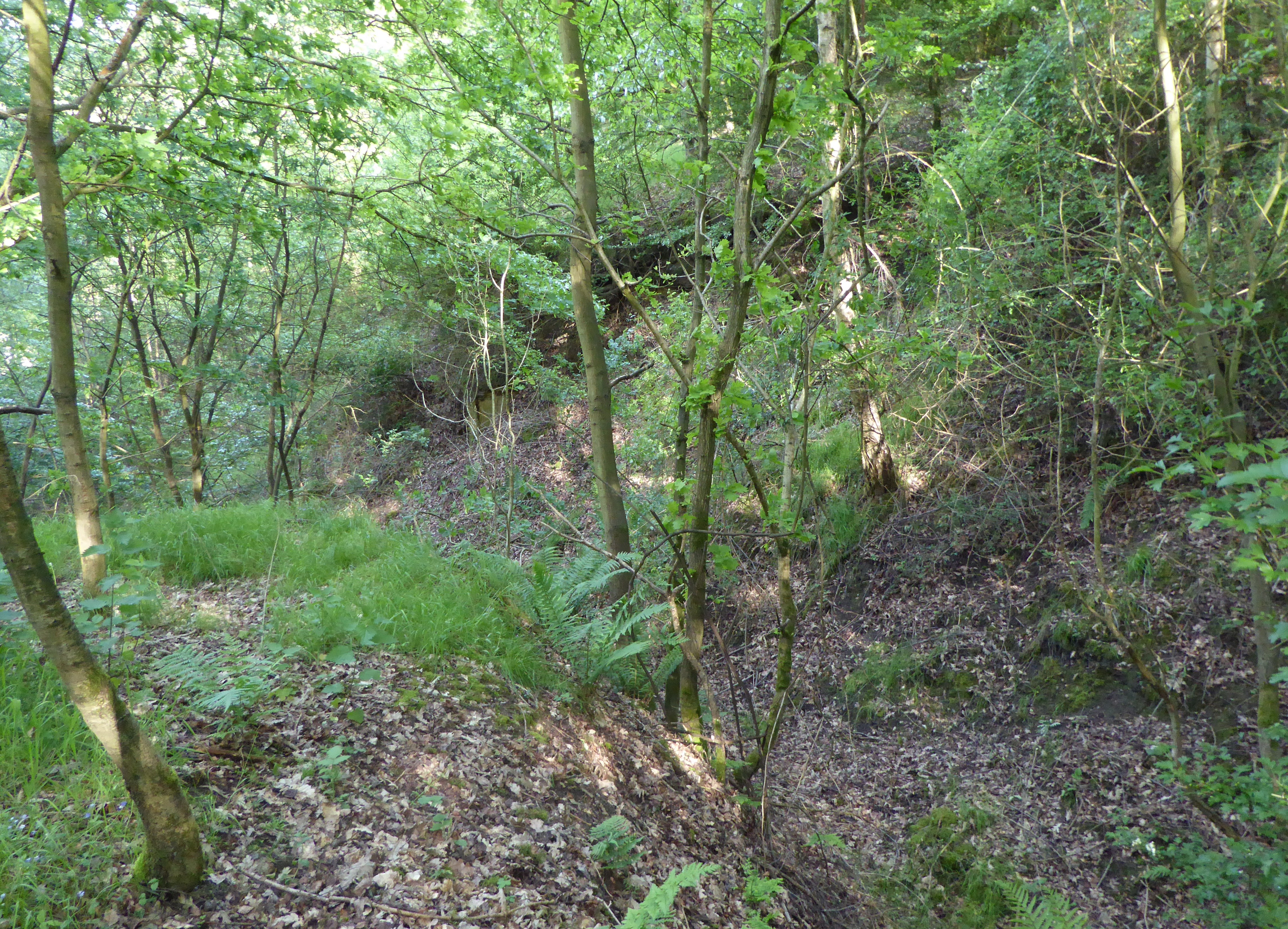
Bawsey Images

Images are sourced within 2km of 52.749238/0.490051 or Grid Reference TF6819. Thanks to Geograph Open Source API. All images are credited.

Pott Row Woods A rarely used track through the middle of the woods, a truly remote area for Norfolk!
Pott Row Woods
A rarely used track through the middle of the woods, a truly remote area for Norfolk!
Leziate Village Hall: mid-September 2022 During a great walking week-end in Norfolk with two friends from my school days (1972 - 1979) there were times when I nipped off in the car to look at churches and other historical features: these are they!
Leziate Village Hall: mid-September 2022
During a great walking week-end in Norfolk with two friends from my school days (1972 - 1979) there were times when I nipped off in the car to look at churches and other historical features: these are they!
Bawsey: the city limits During a great walking week-end in Norfolk with two friends from my school days (1972 - 1979) there were times when I nipped off in the car to look at churches and other historical features: these are they!
Bawsey: the city limits
During a great walking week-end in Norfolk with two friends from my school days (1972 - 1979) there were times when I nipped off in the car to look at churches and other historical features: these are they!
Looking along Leziate Drove towards the B1145 During a great walking week-end in Norfolk with two friends from my school days (1972 - 1979) there were times when I nipped off in the car to look at churches and other historical features: these are they!
Looking along Leziate Drove towards the B1145
During a great walking week-end in Norfolk with two friends from my school days (1972 - 1979) there were times when I nipped off in the car to look at churches and other historical features: these are they!
Noticeboard by the play area
Looking north-east towards Brow of the Hill
Nature reserve at Brow of the Hill
Looking eastwards along the B1145
A Glimpse of Norfolk Near Ashwicken.
A Glimpse of Norfolk
Near Ashwicken.
All Saints, Ashwicken I was particularly taken with this charming rural church.
All Saints, Ashwicken
I was particularly taken with this charming rural church.
All Saints, Ashwicken An interior view of this charming rural church.
All Saints, Ashwicken
An interior view of this charming rural church.
All Saints, Ashwicken A view of the charming west window.
All Saints, Ashwicken
A view of the charming west window.
OS Benchmark Recorded on Benchmark Database as 'Ashwicken, All Saints Church'.
OS Benchmark
Recorded on Benchmark Database as 'Ashwicken, All Saints Church'.
Avenue leading to Ashwicken
Church Lane, Ashwicken, Norfolk
Access route into Bawsey Country Park The country park has been created in an area of disused sand pits and gravel quarries, now open to the public.
Access route into Bawsey Country Park
The country park has been created in an area of disused sand pits and gravel quarries, now open to the public.
Bridge over disused railway line, Mintlyn
Bridge over disused railway line, Mintlyn Access through the bridge is blocked because there is a working quarry in the woodland on the other side.
Bridge over disused railway line, Mintlyn
Access through the bridge is blocked because there is a working quarry in the woodland on the other side.
Show me another place!

Bawsey is located at Grid Ref: TF6819 (Lat: 52.749238, Lng: 0.490051)

Administrative County: Norfolk

District: King's Lynn and West Norfolk

Police Authority: Norfolk

What 3 Words

///jammy.animator.noses. Near Grimston, Norfolk

Related Wikis

Bawsey

Bawsey is a village and civil parish in the English county of Norfolk. The village is about 4 miles (6.4 km) east of the town of King's Lynn and 40 miles...
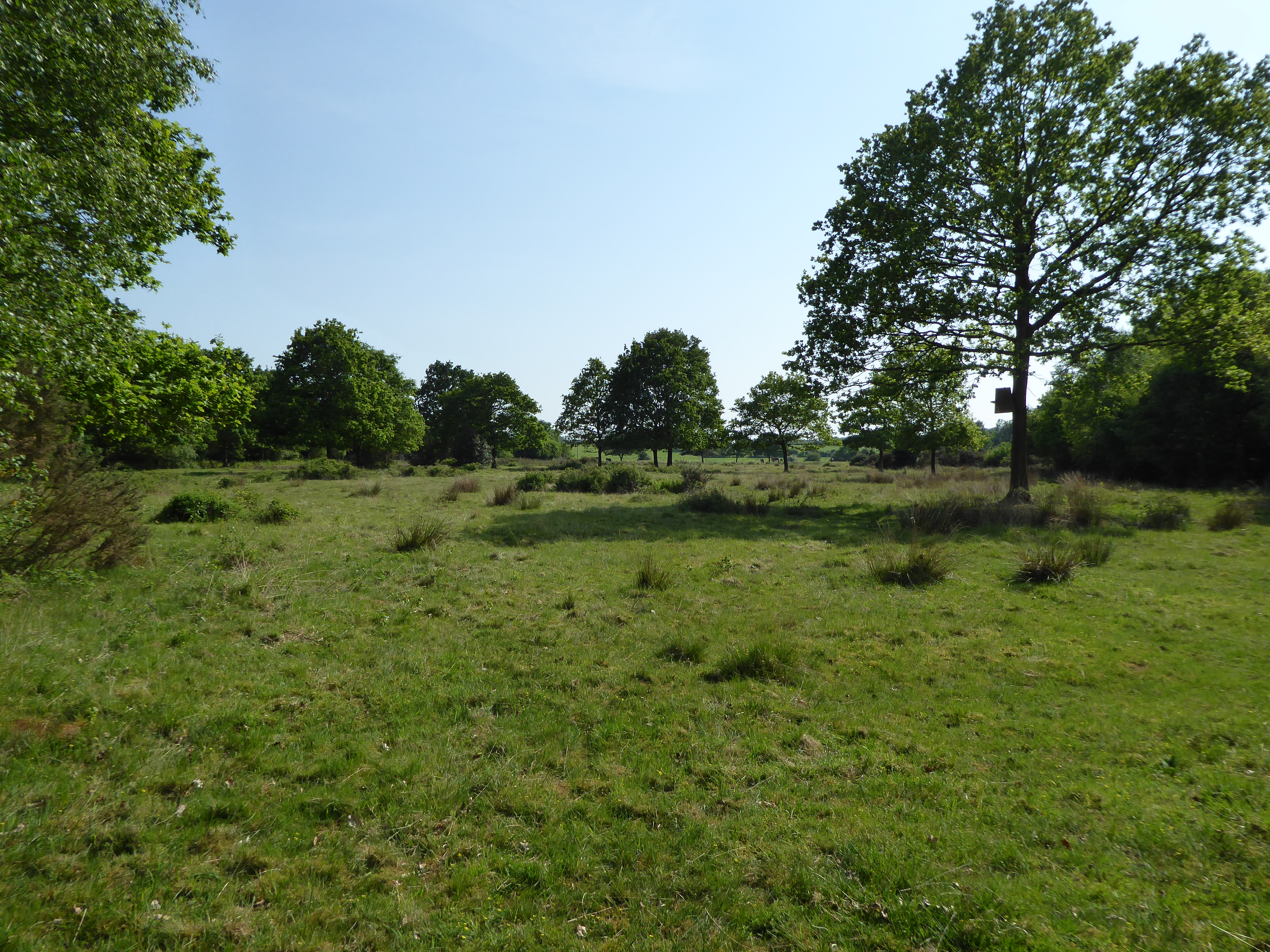
Bawsey SSSI

Bawsey is a 2.6-hectare (6.4-acre) geological Site of Special Scientific Interest east of Kings' Lynn in Norfolk. It is a Geological Conservation Review...

Gayton Road railway station

Gayton Road railway station was a station in Norfolk, located close to King's Lynn on the Midland and Great Northern Joint Railway. == History == The station...
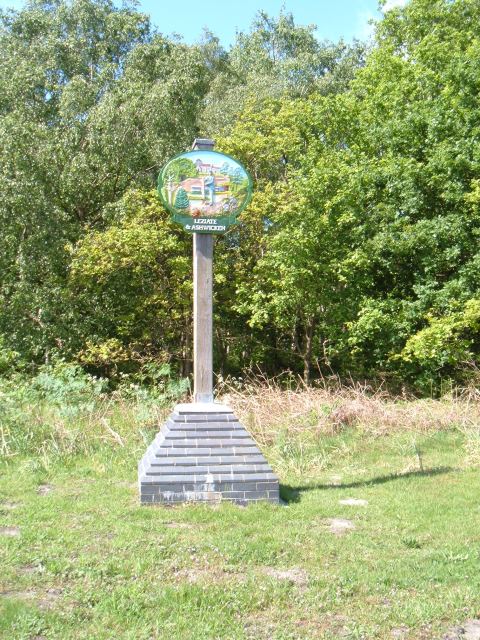
Leziate

Leziate is a village and civil parish in the English county of Norfolk. The village is 44 miles (71 km) west of Norwich, 5.7 miles (9.2 km) east of King...

Ashwicken

Ashwicken is a small village and former civil parish, now in the parish of Leziate, in the King's Lynn and West Norfolk district, in the county of Norfolk...

Leziate, Sugar and Derby Fens

Leziate, Sugar and Derby Fens is an 87.9-hectare (217-acre) biological Site of Special Scientific Interest east of King's Lynn in Norfolk.These fens...

Middleton Towers railway station

Middleton Towers railway station was a station in Middleton, Norfolk. It was on the line between Swaffham and King's Lynn, and closed along with the rest...

Grimston Warren Pit

Grimston Warren Pit is a 6.6-hectare (16-acre) geological Site of Special Scientific Interest east of King's Lynn in Norfolk. It is a Geological Conservation...

Nearby Amenities

Located within 500m of 52.749238,0.490051
Bus Stop
Chilver House Lane, opp
Naptan AtcoCode: 2900B145
Naptan Bearing: W
Naptan CommonName: Chilver House Lane
Naptan Indicator: opp
Naptan Landmark: bus shelter
Naptan Locality: Bawsey
Naptan NaptanCode: nfoadtat
Naptan Street: B1145
Naptan Verified: no
Source: naptan_import
Lat/Long: 52.7489988/0.4914609
Chilver House Lane, adj
Naptan AtcoCode: 2900B146
Naptan Bearing: E
Naptan BusStopType: CUS
Naptan CommonName: Chilver House Lane
Naptan Indicator: adj
Naptan Landmark: opp bus shelter
Naptan Locality: Bawsey
Naptan NaptanCode: nfoadtaw
Naptan Street: Gayton Road
Naptan Verified: no
Source: naptan_import
Lat/Long: 52.7492163/0.4913844
Barrier: entrance
Width: 1
Lat/Long: 52.7457827/0.49047
Power: pole
Lat/Long: 52.752292/0.4948405
Power: pole
Lat/Long: 52.7527826/0.4936271
Power: pole
Lat/Long: 52.7532174/0.4922495
Power: pole
Lat/Long: 52.7527401/0.4935799
Power: pole
Lat/Long: 52.7532314/0.4923709
Power: pole
Lat/Long: 52.7523375/0.4948727
Power: pole
Lat/Long: 52.7535593/0.4912783
Power: pole
Lat/Long: 52.7536238/0.4912729
Power: pole
Lat/Long: 52.7472363/0.4838275
Power: pole
Lat/Long: 52.7478598/0.483267
Power: pole
Lat/Long: 52.7465479/0.4844418
Bawsey
Place: hamlet
Lat/Long: 52.750503/0.489251
The data included in this document is from www.openstreetmap.org. The data is made available under ODbL.

Have you been to Bawsey?

Leave your review of Bawsey below (or comments, questions and feedback).