Mission Hall Plantation
Wood, Forest in Norfolk King's Lynn and West Norfolk
England
Mission Hall Plantation
Mission Hall Plantation is a historic site located in Norfolk, Virginia. This woodland area, also known as Wood or Forest, covers a vast stretch of land measuring approximately 200 hectares. It is situated in a rural setting, about 20 miles from downtown Norfolk.
The plantation dates back to the 18th century and has a rich history. It was originally established as a working plantation, primarily cultivating tobacco and corn. Over the years, the plantation has undergone various transformations and is now primarily used for recreational purposes and conservation efforts.
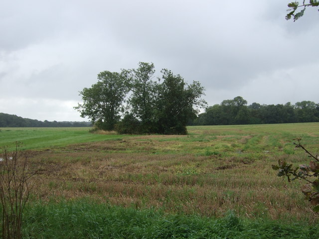
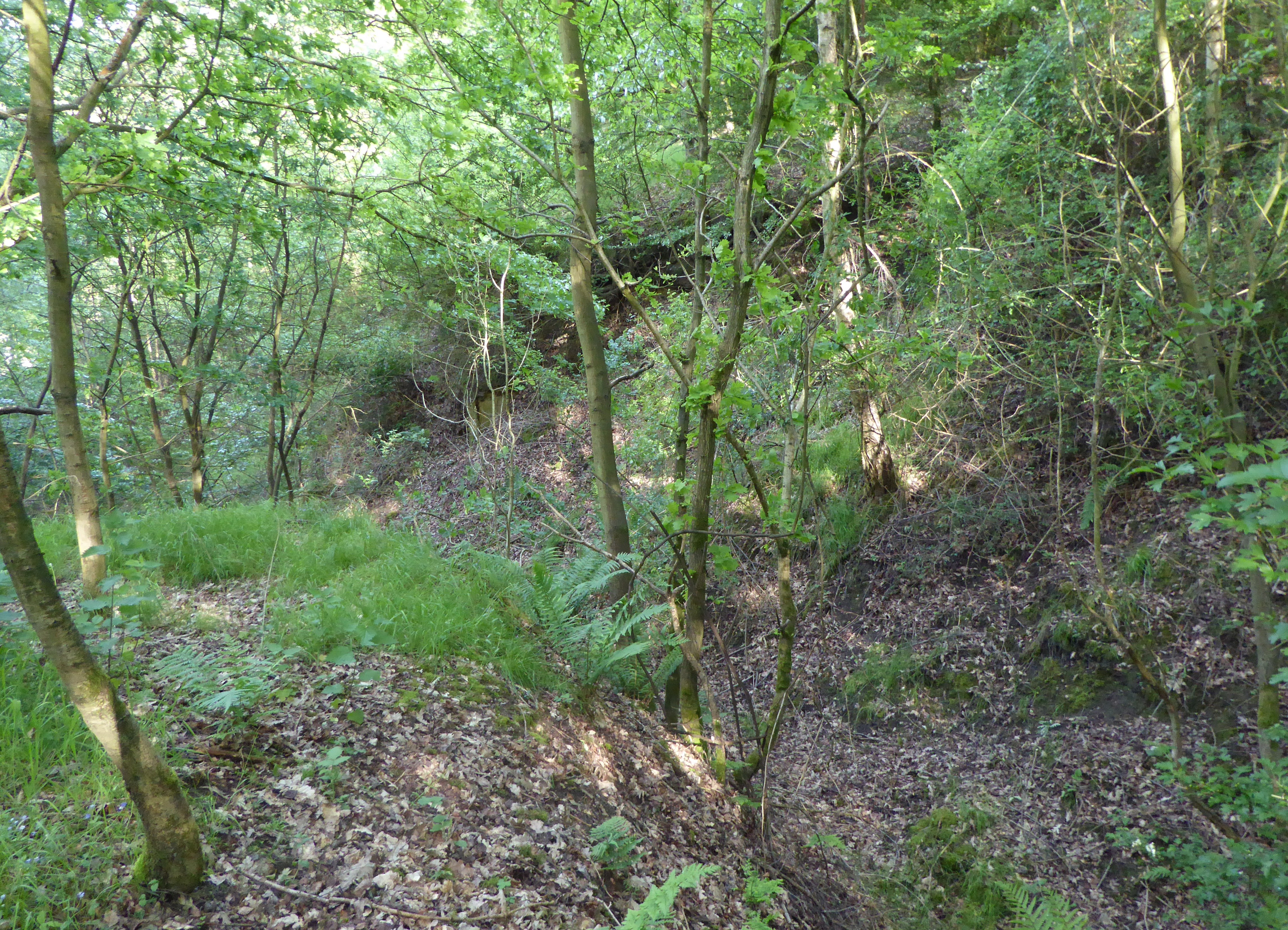
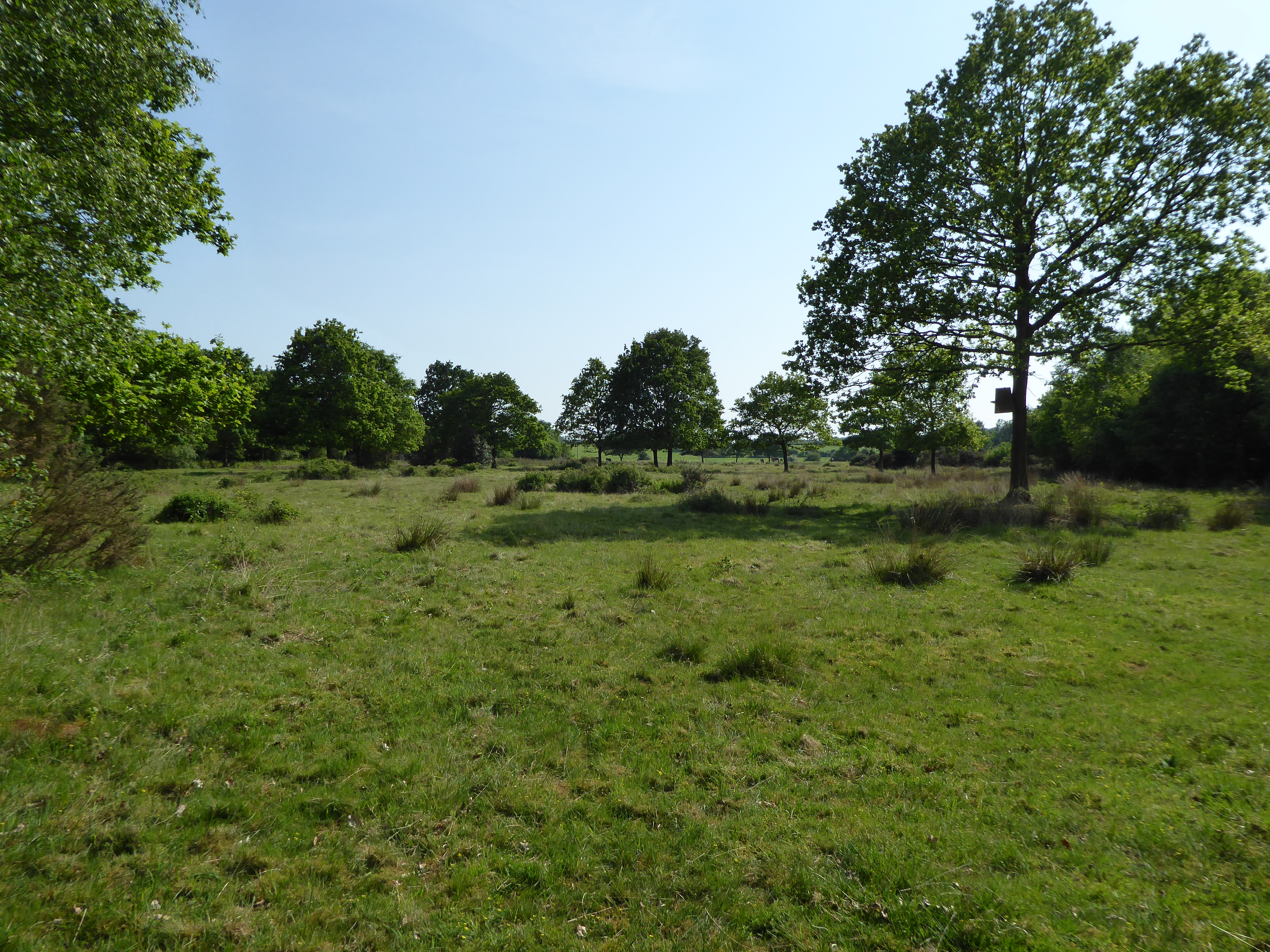
The woodlands of Mission Hall Plantation are characterized by a diverse range of vegetation, including a mix of deciduous and coniferous trees such as oak, pine, hickory, and cedar. The forest floor is covered with a lush carpet of wildflowers, ferns, and mosses. These woodlands provide a habitat for numerous species of wildlife, including deer, squirrels, rabbits, and a variety of bird species.
The plantation offers several recreational activities for visitors to enjoy. There are well-maintained hiking trails that wind through the forest, providing opportunities for nature walks and birdwatching. Additionally, the plantation has picnic areas and designated camping spots for those who wish to spend more time in this serene natural setting.
Mission Hall Plantation is a popular destination for nature enthusiasts, history buffs, and those seeking a peaceful retreat away from the hustle and bustle of city life. Its rich history, diverse flora and fauna, and tranquil ambiance make it a unique and cherished place in the Norfolk area.
If you have any feedback on the listing, please let us know in the comments section below.
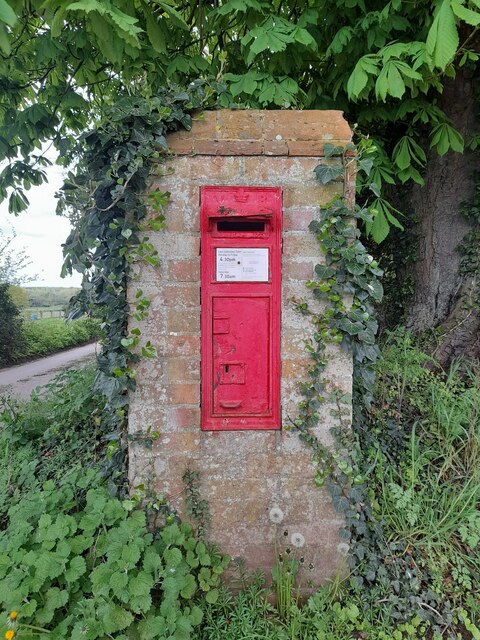
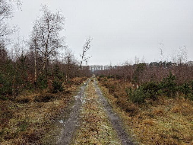
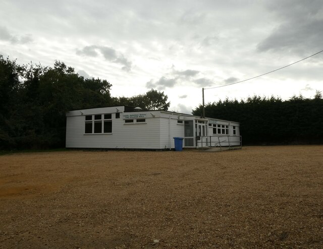
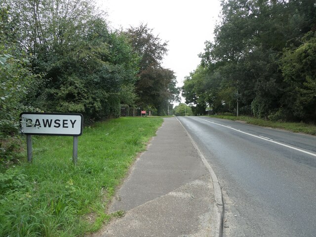
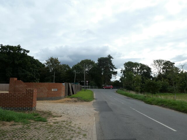
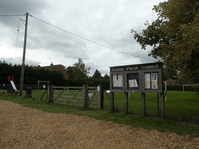
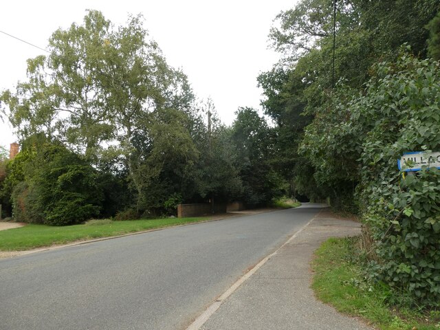
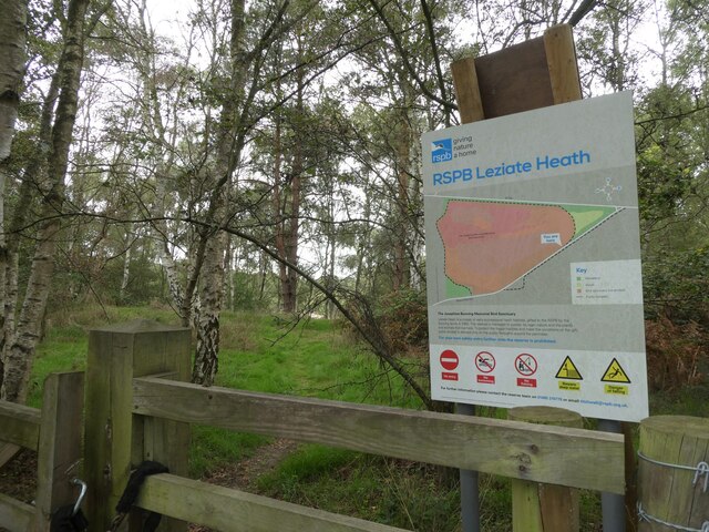
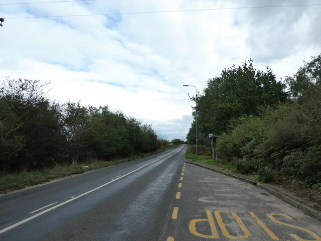
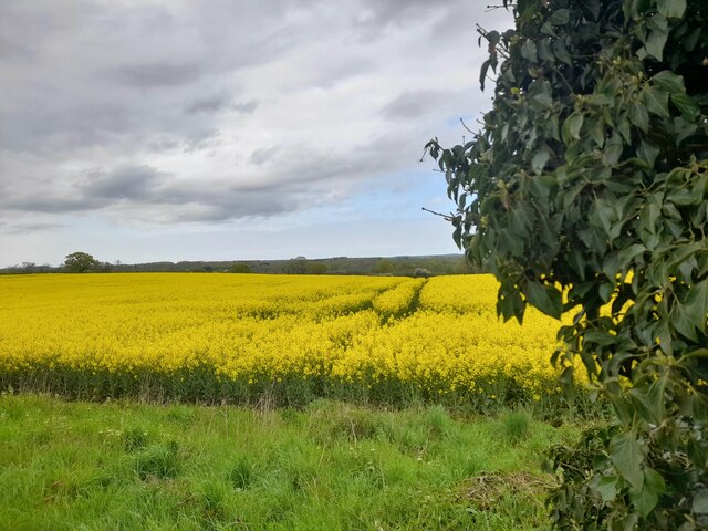
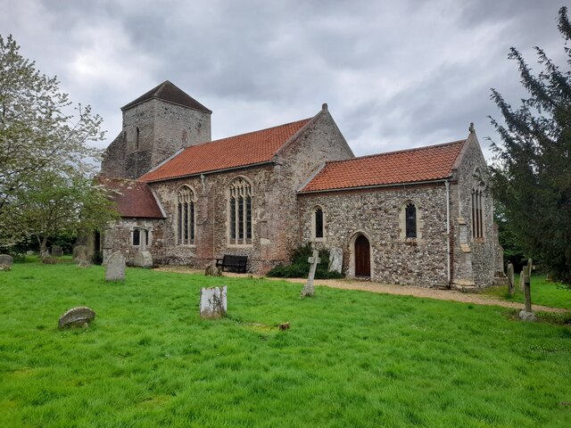
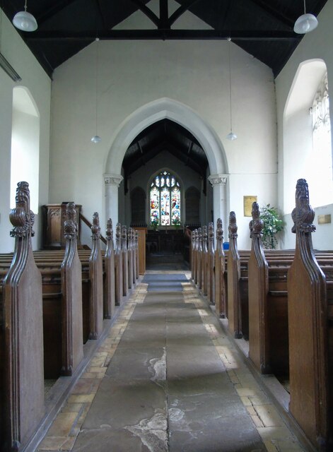
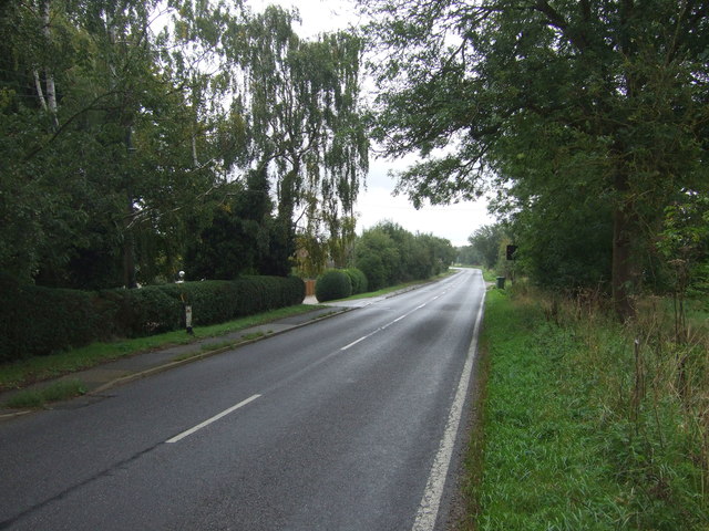
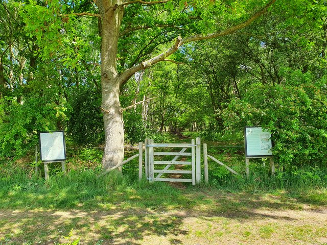
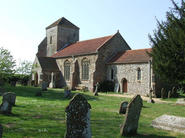
Mission Hall Plantation Images
Images are sourced within 2km of 52.745869/0.49470666 or Grid Reference TF6819. Thanks to Geograph Open Source API. All images are credited.
Mission Hall Plantation is located at Grid Ref: TF6819 (Lat: 52.745869, Lng: 0.49470666)
Administrative County: Norfolk
District: King's Lynn and West Norfolk
Police Authority: Norfolk
What 3 Words
///hoofs.pixies.contoured. Near Grimston, Norfolk
Nearby Locations
Related Wikis
Bawsey SSSI
Bawsey is a 2.6-hectare (6.4-acre) geological Site of Special Scientific Interest east of Kings' Lynn in Norfolk. It is a Geological Conservation Review...

Bawsey
Bawsey is a village and civil parish in the English county of Norfolk. The village is about 4 miles (6.4 km) east of the town of King's Lynn and 40 miles...
Ashwicken
Ashwicken is a small village and former civil parish, now in the parish of Leziate, in the King's Lynn and West Norfolk district, in the county of Norfolk...
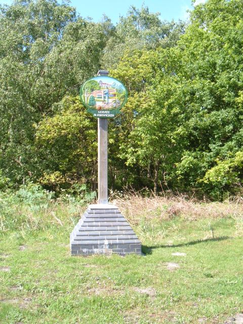
Leziate
Leziate is a village and civil parish in the English county of Norfolk. The village is 44 miles (71 km) west of Norwich, 5.7 miles (9.2 km) east of King...

Gayton Road railway station
Gayton Road railway station was a station in Norfolk, located close to King's Lynn on the Midland and Great Northern Joint Railway. == History == The station...
Leziate, Sugar and Derby Fens
Leziate, Sugar and Derby Fens is an 87.9-hectare (217-acre) biological Site of Special Scientific Interest east of King's Lynn in Norfolk.These fens...

Middleton Towers railway station
Middleton Towers railway station was a station in Middleton, Norfolk. It was on the line between Swaffham and King's Lynn, and closed along with the rest...

Middleton Towers
Middleton Towers is a privately owned country house in Norfolk, England, near the village of Middleton and about 3 miles (5 km) east of King's Lynn. The...
Related Videos
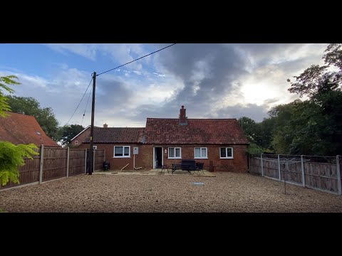
Hadleigh Farm Cottage: Holiday Cottage, Ashwicken, King’s Lynn, Norfolk
Arriving at our holiday cottage, on a working farm, while on holiday in North Norfolk, England for the week.

A walk to Brickyard Lake
Our first step into the world of YouTube with a short video showing a walk to Brickyard Lake, the smaller of our 2 lakes at the park, ...

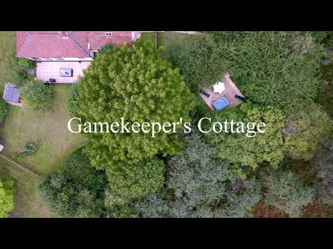
Gamekeeper's Cottage
The ultimate getaway for two or four. Paradise is nestled within sweet birdsong and even sweeter seclusion. This cottage is perfect ...
Nearby Amenities
Located within 500m of 52.745869,0.49470666Have you been to Mission Hall Plantation?
Leave your review of Mission Hall Plantation below (or comments, questions and feedback).