Leziate Heath

Downs, Moorland in Norfolk King's Lynn and West Norfolk

England

Leziate Heath

Postbox at Ashwicken PE32 75. Royal Mail list this box as 'Ashwicken'.
Postbox at Ashwicken Credit: David Bremner

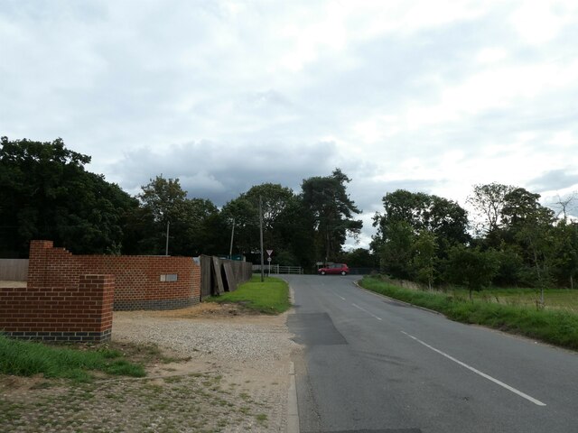
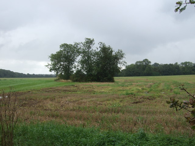
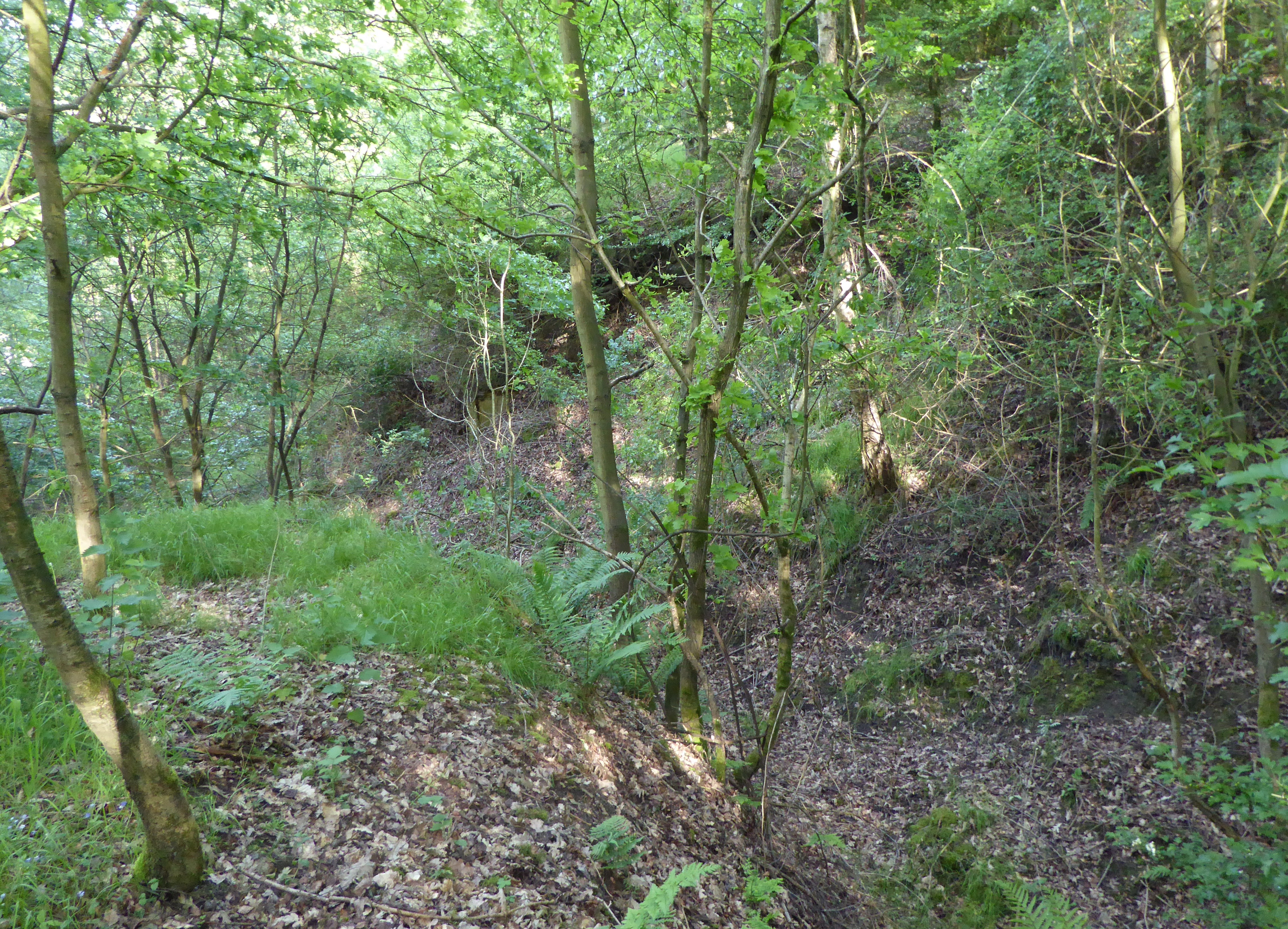
Leziate Heath is a diverse natural area located in Norfolk, England. Covering an approximate area of 200 acres, it encompasses a range of landscapes including downs, moorland, and woodlands. The heath is situated near the village of Leziate, about 5 miles east of the historic market town of King's Lynn.

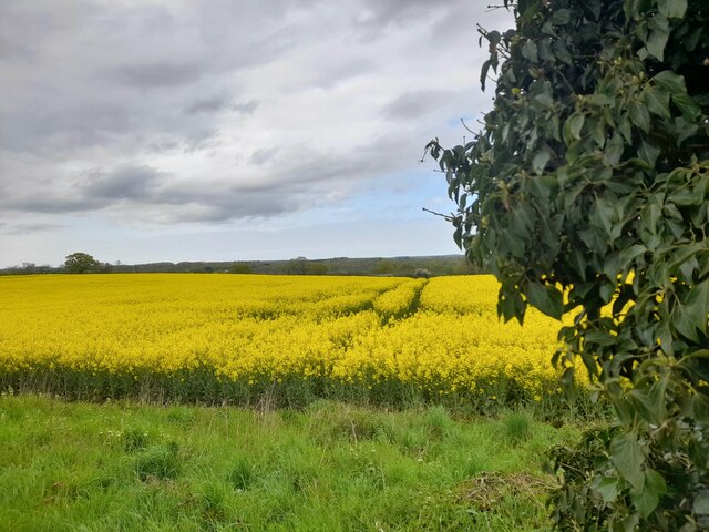
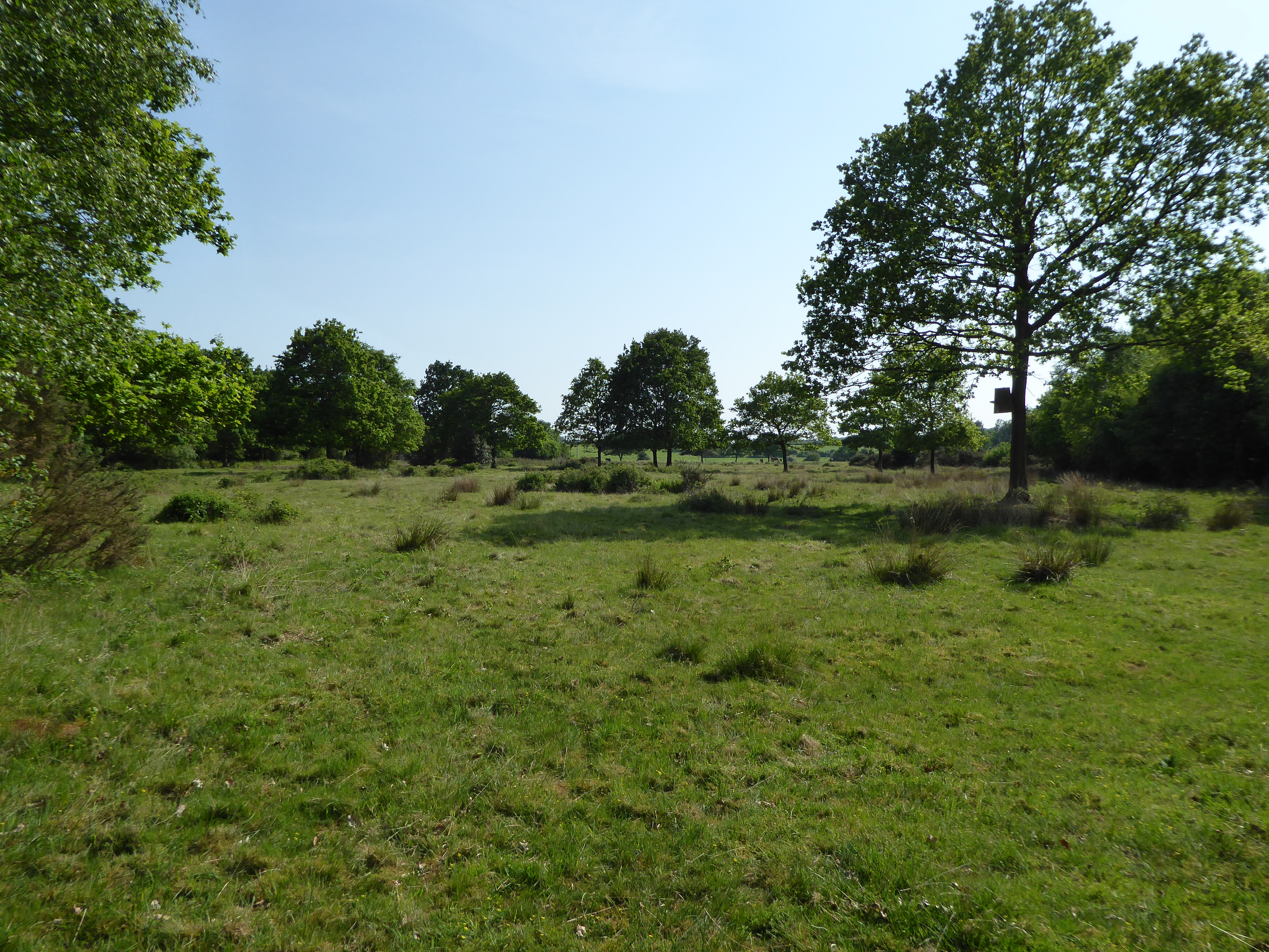
The heath is known for its unique and rich biodiversity. It is home to a variety of flora and fauna, including several rare and protected species. The downs of Leziate Heath are characterized by their open grassy areas and provide a habitat for numerous wildflowers and grasses. These downs are also frequented by butterflies, such as the common blue and marbled white.

In contrast, the moorland section of Leziate Heath offers a different landscape. It consists of wetland areas, ponds, and reed beds. This marshy environment attracts a myriad of bird species, including reed warblers, teal, and wigeon. The moorland is also inhabited by small mammals like water voles and field voles.

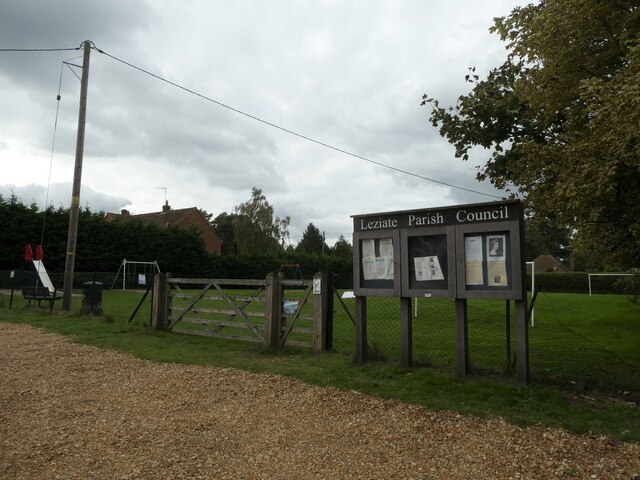
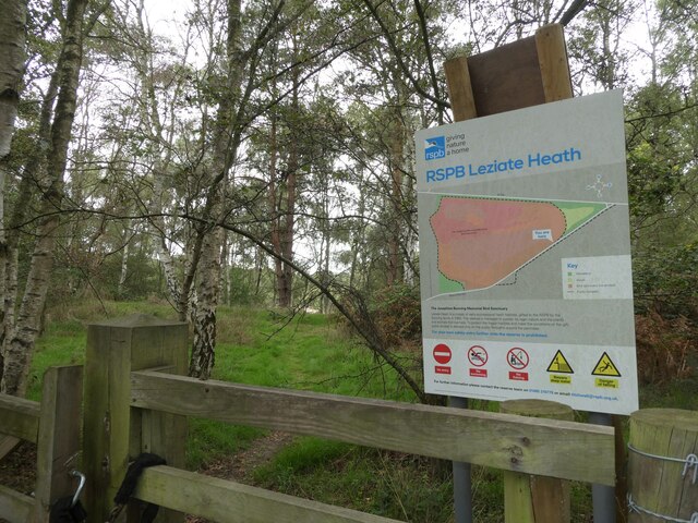
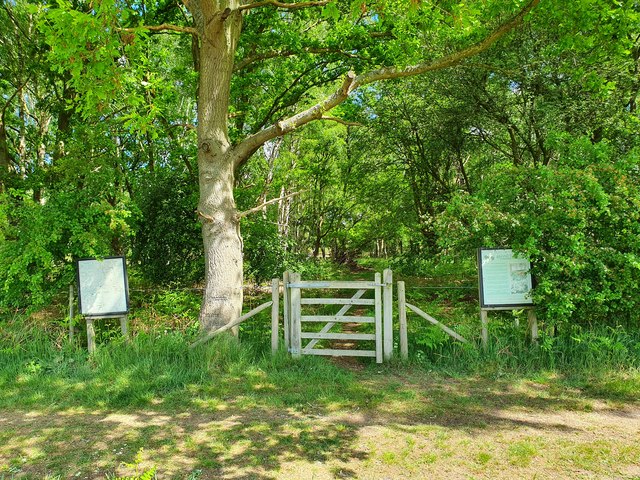
Leziate Heath is an important site for conservation and is managed by local authorities to preserve its natural beauty and protect its wildlife. The area is open to the public, and visitors can enjoy walking trails that wind through the heath, offering opportunities for birdwatching and observing the diverse plant life.

Overall, Leziate Heath is a valuable natural asset in Norfolk, offering a range of habitats that support a wide variety of plant and animal species. Its diverse landscapes and rich biodiversity make it a popular destination for nature lovers and conservation enthusiasts alike.

If you have any feedback on the listing, please let us know in the comments section below.

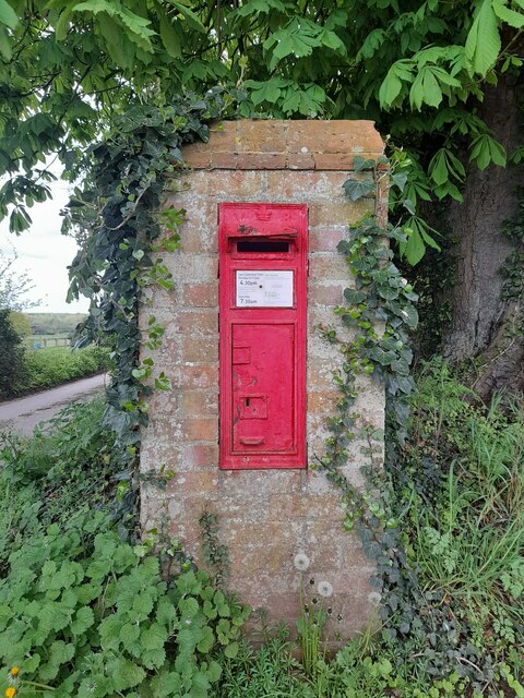
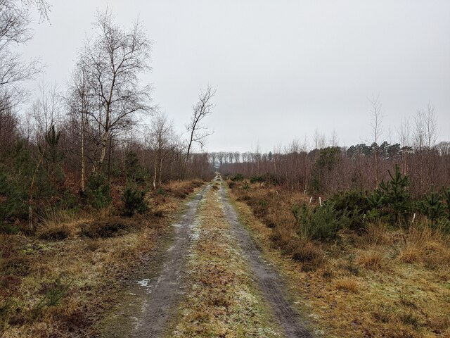
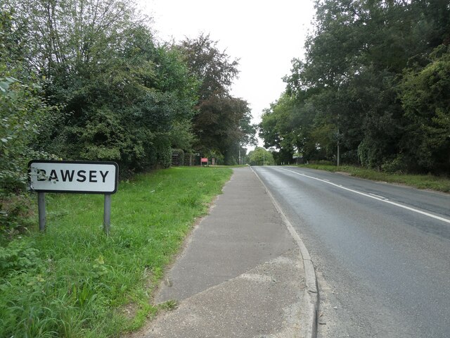
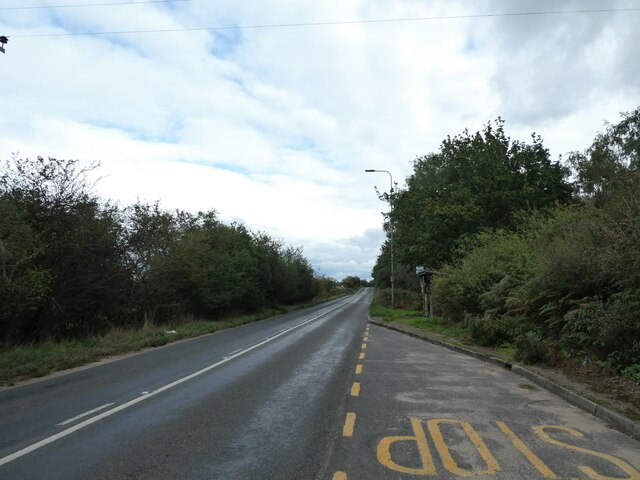
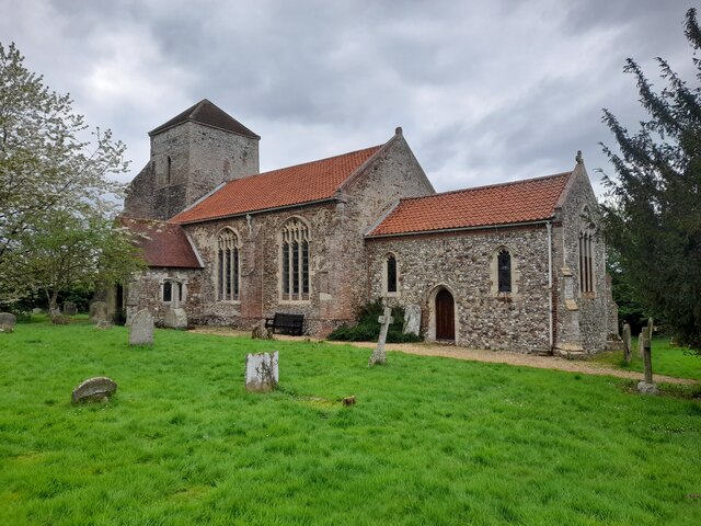
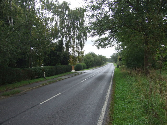
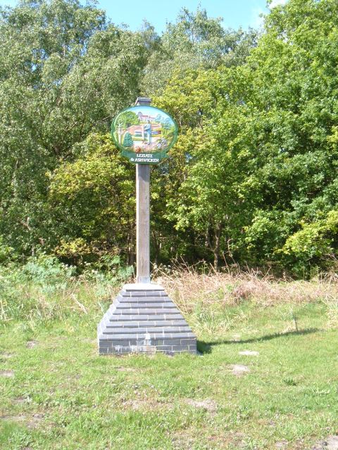
Leziate Heath Images

Images are sourced within 2km of 52.749476/0.49719485 or Grid Reference TF6819. Thanks to Geograph Open Source API. All images are credited.

Postbox at Ashwicken PE32 75. Royal Mail list this box as 'Ashwicken'.
Postbox at Ashwicken
PE32 75. Royal Mail list this box as 'Ashwicken'.
Pott Row Woods A rarely used track through the middle of the woods, a truly remote area for Norfolk!
Pott Row Woods
A rarely used track through the middle of the woods, a truly remote area for Norfolk!
Leziate Village Hall: mid-September 2022 During a great walking week-end in Norfolk with two friends from my school days (1972 - 1979) there were times when I nipped off in the car to look at churches and other historical features: these are they!
Leziate Village Hall: mid-September 2022
During a great walking week-end in Norfolk with two friends from my school days (1972 - 1979) there were times when I nipped off in the car to look at churches and other historical features: these are they!
Bawsey: the city limits During a great walking week-end in Norfolk with two friends from my school days (1972 - 1979) there were times when I nipped off in the car to look at churches and other historical features: these are they!
Bawsey: the city limits
During a great walking week-end in Norfolk with two friends from my school days (1972 - 1979) there were times when I nipped off in the car to look at churches and other historical features: these are they!
Looking along Leziate Drove towards the B1145 During a great walking week-end in Norfolk with two friends from my school days (1972 - 1979) there were times when I nipped off in the car to look at churches and other historical features: these are they!
Looking along Leziate Drove towards the B1145
During a great walking week-end in Norfolk with two friends from my school days (1972 - 1979) there were times when I nipped off in the car to look at churches and other historical features: these are they!
Noticeboard by the play area
Looking north-east towards Brow of the Hill
Nature reserve at Brow of the Hill
Looking eastwards along the B1145
A Glimpse of Norfolk Near Ashwicken.
A Glimpse of Norfolk
Near Ashwicken.
All Saints, Ashwicken I was particularly taken with this charming rural church.
All Saints, Ashwicken
I was particularly taken with this charming rural church.
All Saints, Ashwicken An interior view of this charming rural church.
All Saints, Ashwicken
An interior view of this charming rural church.
All Saints, Ashwicken A view of the charming west window.
All Saints, Ashwicken
A view of the charming west window.
OS Benchmark Recorded on Benchmark Database as 'Ashwicken, All Saints Church'.
OS Benchmark
Recorded on Benchmark Database as 'Ashwicken, All Saints Church'.
Derby Fen SSSI, Norfolk: aerial 2015 The River Gaywood follows an interesting course through it. The original meanders have perhaps been restored, since there are signs that attempts were once made to cut across them.
See <span class="nowrap"><a title="http://www.sssi.naturalengland.org.uk/citation/citation_photo/1002837.pdf" rel="nofollow ugc noopener" href="http://www.sssi.naturalengland.org.uk/citation/citation_photo/1002837.pdf">Link</a><img style="margin-left:2px;" alt="External link" title="External link - shift click to open in new window" src="https://s1.geograph.org.uk/img/external.png" width="10" height="10"/></span> and  <span class="nowrap"><a title="http://en.wikipedia.org/wiki/Gaywood_River" rel="nofollow ugc noopener" href="http://en.wikipedia.org/wiki/Gaywood_River">Link</a><img style="margin-left:2px;" alt="External link" title="External link - shift click to open in new window" src="https://s1.geograph.org.uk/img/external.png" width="10" height="10"/></span>
Derby Fen SSSI, Norfolk: aerial 2015
The River Gaywood follows an interesting course through it. The original meanders have perhaps been restored, since there are signs that attempts were once made to cut across them. See LinkExternal link and LinkExternal link
Stubble and coppice, Ashwicken South of the B1145.
Stubble and coppice, Ashwicken
South of the B1145.
B1145, Ashwicken Looking east.
B1145, Ashwicken
Looking east.
Entrance to Brand's Wood Conservation Area
Show me another place!

Leziate Heath is located at Grid Ref: TF6819 (Lat: 52.749476, Lng: 0.49719485)

Administrative County: Norfolk

District: King's Lynn and West Norfolk

Police Authority: Norfolk

What 3 Words

///doubts.soups.lighten. Near Grimston, Norfolk

Related Wikis

Bawsey

Bawsey is a village and civil parish in the English county of Norfolk. The village is about 4 miles (6.4 km) east of the town of King's Lynn and 40 miles...

Bawsey SSSI

Bawsey is a 2.6-hectare (6.4-acre) geological Site of Special Scientific Interest east of Kings' Lynn in Norfolk. It is a Geological Conservation Review...

Ashwicken

Ashwicken is a small village and former civil parish, now in the parish of Leziate, in the King's Lynn and West Norfolk district, in the county of Norfolk...

Leziate, Sugar and Derby Fens

Leziate, Sugar and Derby Fens is an 87.9-hectare (217-acre) biological Site of Special Scientific Interest east of King's Lynn in Norfolk.These fens...

Leziate

Leziate is a village and civil parish in the English county of Norfolk. The village is 44 miles (71 km) west of Norwich, 5.7 miles (9.2 km) east of King...

Gayton Road railway station

Gayton Road railway station was a station in Norfolk, located close to King's Lynn on the Midland and Great Northern Joint Railway. == History == The station...

Middleton Towers railway station

Middleton Towers railway station was a station in Middleton, Norfolk. It was on the line between Swaffham and King's Lynn, and closed along with the rest...

Roydon Common

Roydon Common is a 194.9-hectare (482-acre) biological Site of Special Scientific Interest east of King's Lynn in Norfolk. It is also a Grade I Nature...

Related Videos

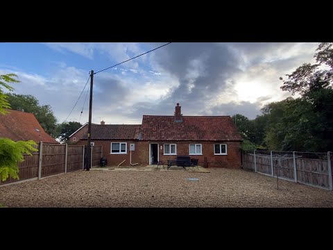
Hadleigh Farm Cottage: Holiday Cottage, Ashwicken, King’s Lynn, Norfolk

Arriving at our holiday cottage, on a working farm, while on holiday in North Norfolk, England for the week.

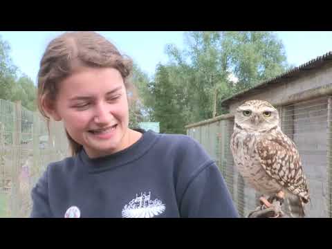
West Norfolk: Summer Landscapes

Visit West Norfolk: Let's Go Back. From coastal venues to rural gems, there is such a wide variety of attractions, wildlife venues ...

West Norfolk: Autumnal Exploring and Activities

Another film in the "Visit West Norfolk: Let's Go Back" series. As the weather gets cooler the outdoor activities and exploring ...

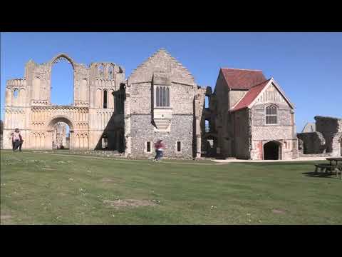
Springtime in Rural West Norfolk

Visit West Norfolk: Let's Go Back. West Norfolk's unspoilt rural villages are a real treasure to find for all responsible visitors to the ...

Nearby Amenities

Located within 500m of 52.749476,0.49719485
Bus Stop
Chilver House Lane, opp
Naptan AtcoCode: 2900B145
Naptan Bearing: W
Naptan CommonName: Chilver House Lane
Naptan Indicator: opp
Naptan Landmark: bus shelter
Naptan Locality: Bawsey
Naptan NaptanCode: nfoadtat
Naptan Street: B1145
Naptan Verified: no
Source: naptan_import
Lat/Long: 52.7489988/0.4914609
Chilver House Lane, adj
Naptan AtcoCode: 2900B146
Naptan Bearing: E
Naptan BusStopType: CUS
Naptan CommonName: Chilver House Lane
Naptan Indicator: adj
Naptan Landmark: opp bus shelter
Naptan Locality: Bawsey
Naptan NaptanCode: nfoadtaw
Naptan Street: Gayton Road
Naptan Verified: no
Source: naptan_import
Lat/Long: 52.7492163/0.4913844
Bus Stop
Bus Shelter, adj
Naptan AtcoCode: 2900L0612
Naptan Bearing: W
Naptan CommonName: Bus Shelter
Naptan Indicator: adj
Naptan Locality: Leziate
Naptan NaptanCode: nfodawga
Naptan Street: B1145
Naptan Verified: no
Source: naptan_import
Lat/Long: 52.7476539/0.5023794
Bus Shelter, opp
Naptan AtcoCode: 2900L0613
Naptan Bearing: E
Naptan BusStopType: CUS
Naptan CommonName: Bus Shelter
Naptan Indicator: opp
Naptan Locality: Leziate
Naptan NaptanCode: nfodawgd
Naptan Street: B1145
Naptan Verified: no
Source: naptan_import
Lat/Long: 52.7477443/0.5023549
Power: pole
Lat/Long: 52.752292/0.4948405
Power: pole
Lat/Long: 52.7506566/0.5034408
Power: pole
Lat/Long: 52.7520073/0.4961086
Power: pole
Lat/Long: 52.751697/0.4974908
Power: pole
Lat/Long: 52.7527826/0.4936271
Power: pole
Lat/Long: 52.7511069/0.5001191
Power: pole
Lat/Long: 52.7527401/0.4935799
Power: pole
Lat/Long: 52.7511394/0.5001513
Power: pole
Lat/Long: 52.7508498/0.5023501
Power: pole
Lat/Long: 52.7514053/0.4987903
Power: pole
Lat/Long: 52.7514395/0.4988292
Power: pole
Lat/Long: 52.7508059/0.5023391
Power: pole
Lat/Long: 52.7523375/0.4948727
Power: pole
Lat/Long: 52.7520524/0.4961288
Power: pole
Lat/Long: 52.750704/0.5034576
Power: pole
Lat/Long: 52.7510036/0.5011823
Power: pole
Lat/Long: 52.7517329/0.4975362
Power: pole
Lat/Long: 52.7509711/0.5011212
Restaurant
Lat/Long: 52.745488/0.496846
Leziate & Ashwicken
Alt Name: Ashwicken
Man Made: village_sign
Material: metal
Short Name: Leziate
Lat/Long: 52.7477878/0.5008072
Fixme: Does a Public Footpath run S from here?
Note: Definitive Statement and historic OS 1:25k suggest Leziate FP 28 starts here.
Lat/Long: 52.7477681/0.5019112
The data included in this document is from www.openstreetmap.org. The data is made available under ODbL.

Have you been to Leziate Heath?

Leave your review of Leziate Heath below (or comments, questions and feedback).