Flash Carr
Wood, Forest in Norfolk King's Lynn and West Norfolk
England
Flash Carr
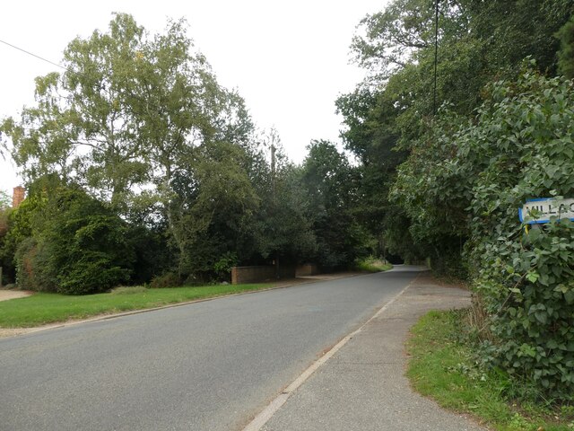
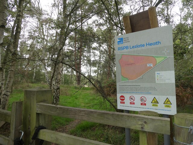
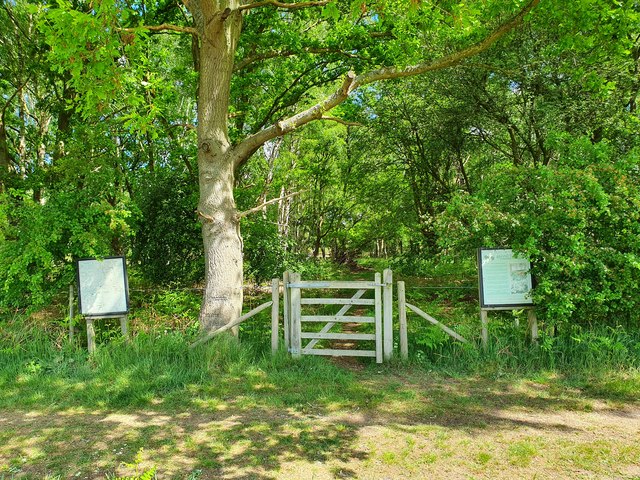
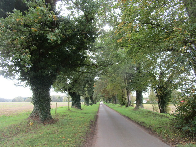
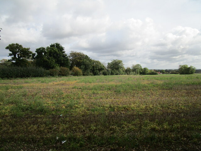
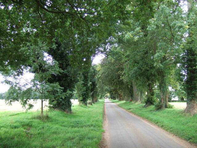
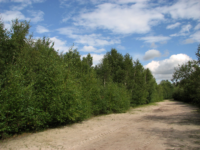
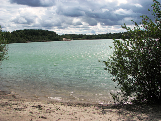
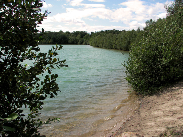
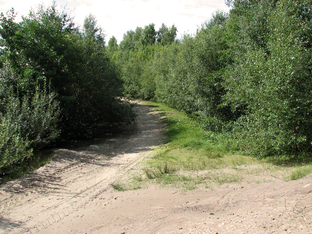
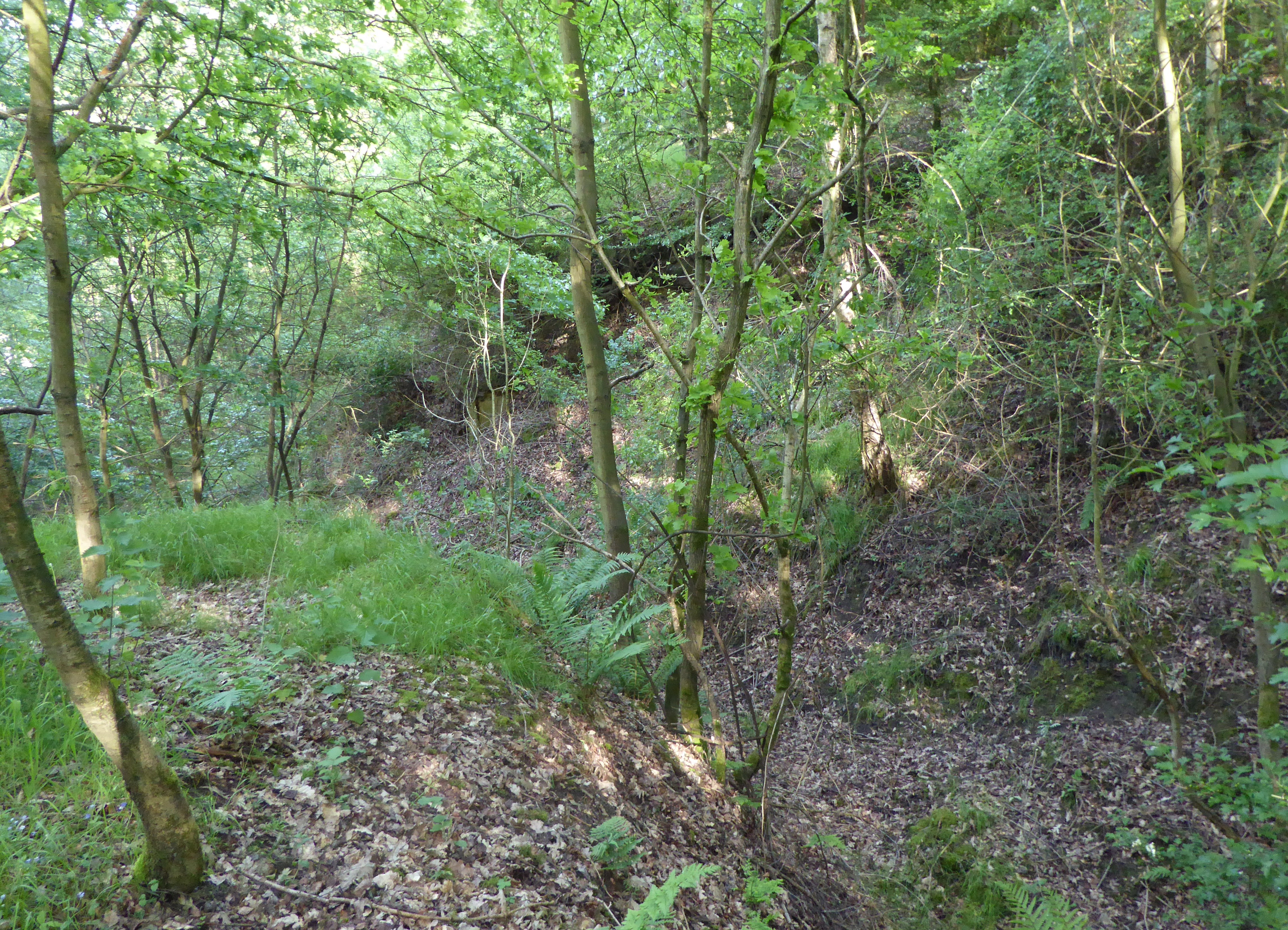
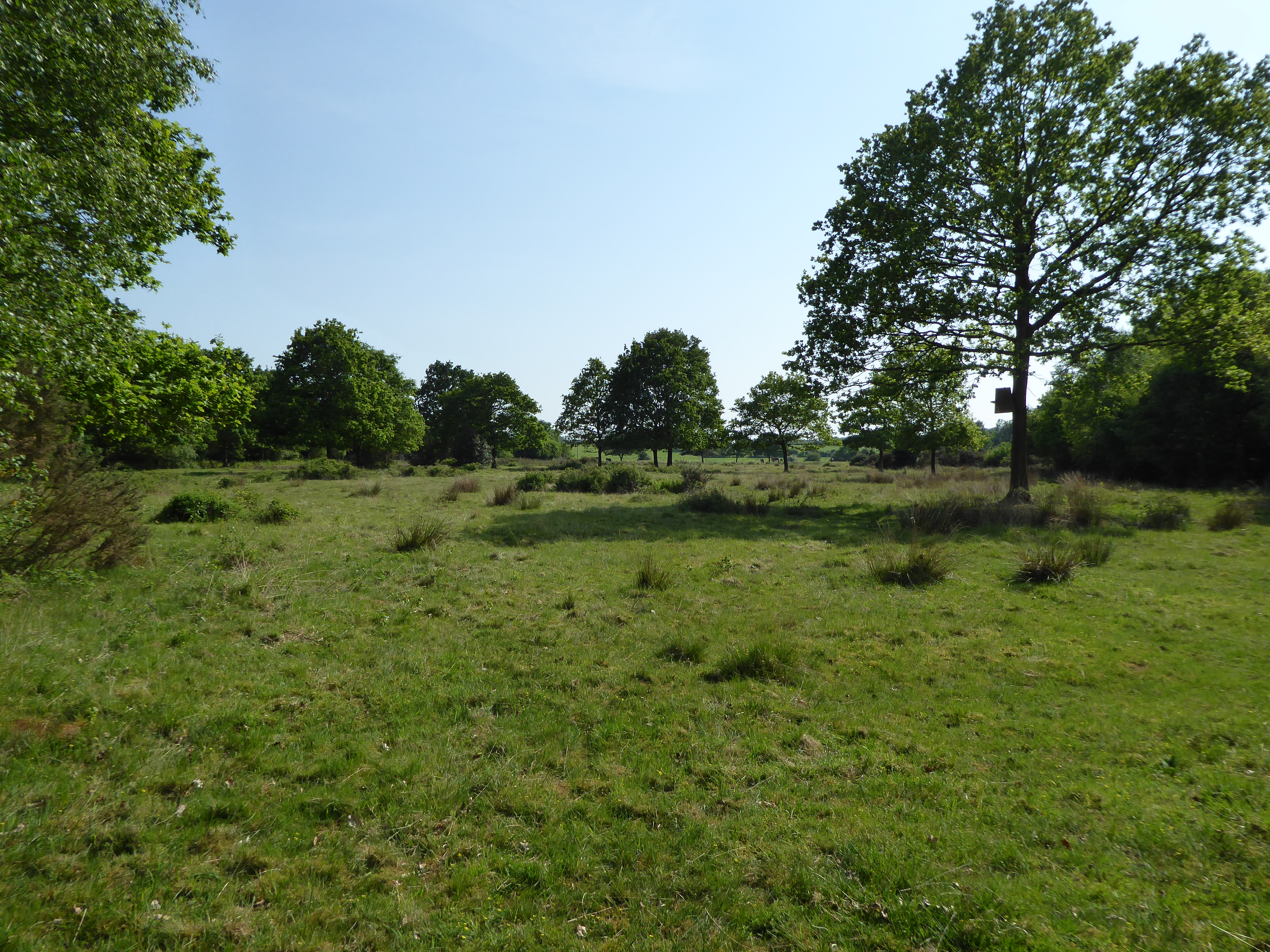
Flash Carr is a wooded area located in Norfolk, England. It is known for its diverse range of flora and fauna, making it a popular destination for nature enthusiasts and hikers. The forest is home to a variety of tree species, including oak, beech, and birch, creating a lush and vibrant landscape.
The area is also known for its wildlife, with a number of bird species, such as woodpeckers and owls, calling Flash Carr home. Visitors may also spot deer, rabbits, and other small mammals roaming the forest.
The peaceful atmosphere of Flash Carr makes it a perfect spot for picnics, leisurely walks, and birdwatching. There are well-maintained trails throughout the forest, allowing visitors to explore the area at their own pace.
Overall, Flash Carr is a picturesque and tranquil woodland area that offers a serene escape from the hustle and bustle of everyday life. Whether you're looking to connect with nature or simply enjoy a relaxing day outdoors, Flash Carr is a must-visit destination in Norfolk.
If you have any feedback on the listing, please let us know in the comments section below.
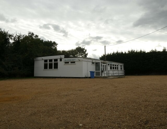
Flash Carr Images
Images are sourced within 2km of 52.755276/0.49546665 or Grid Reference TF6820. Thanks to Geograph Open Source API. All images are credited.


Flash Carr is located at Grid Ref: TF6820 (Lat: 52.755276, Lng: 0.49546665)
Administrative County: Norfolk
District: King's Lynn and West Norfolk
Police Authority: Norfolk
What 3 Words
///bearings.nutty.shin. Near Grimston, Norfolk
Nearby Locations
Related Wikis

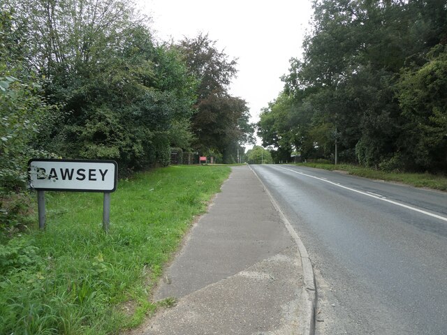
Bawsey
Bawsey is a village and civil parish in the English county of Norfolk. The village is about 4 miles (6.4 km) east of the town of King's Lynn and 40 miles...
Bawsey SSSI
Bawsey is a 2.6-hectare (6.4-acre) geological Site of Special Scientific Interest east of Kings' Lynn in Norfolk. It is a Geological Conservation Review...
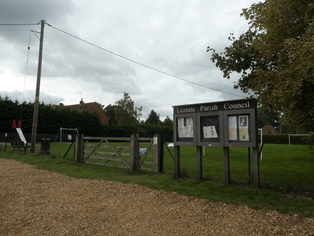
Leziate, Sugar and Derby Fens
Leziate, Sugar and Derby Fens is an 87.9-hectare (217-acre) biological Site of Special Scientific Interest east of King's Lynn in Norfolk.These fens...

Gayton Road railway station
Gayton Road railway station was a station in Norfolk, located close to King's Lynn on the Midland and Great Northern Joint Railway. == History == The station...
Nearby Amenities
Located within 500m of 52.755276,0.49546665Have you been to Flash Carr?
Leave your review of Flash Carr below (or comments, questions and feedback).