Bawdsey
Settlement in Suffolk East Suffolk
England
Bawdsey
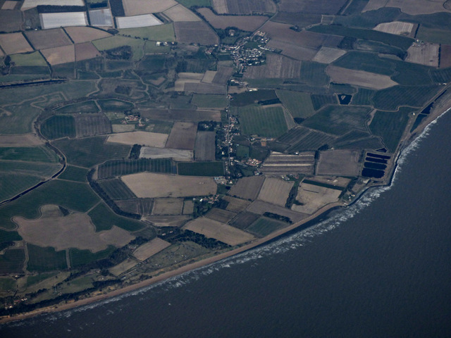
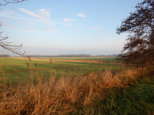
Bawdsey is a small village located on the eastern coast of Suffolk, England. Situated at the mouth of the River Deben, it is part of the Suffolk Coastal District. With a population of around 400 residents, Bawdsey is a tranquil and picturesque village known for its natural beauty and historical significance.
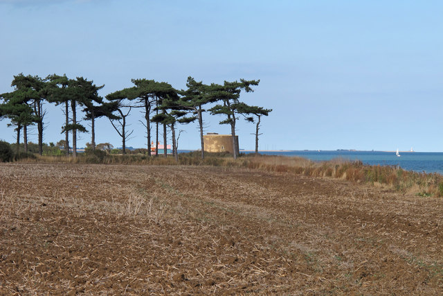
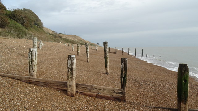
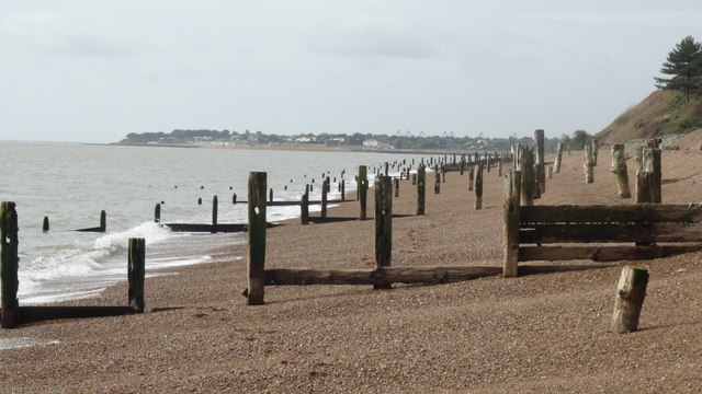
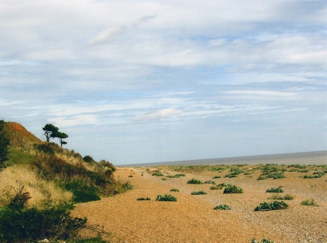
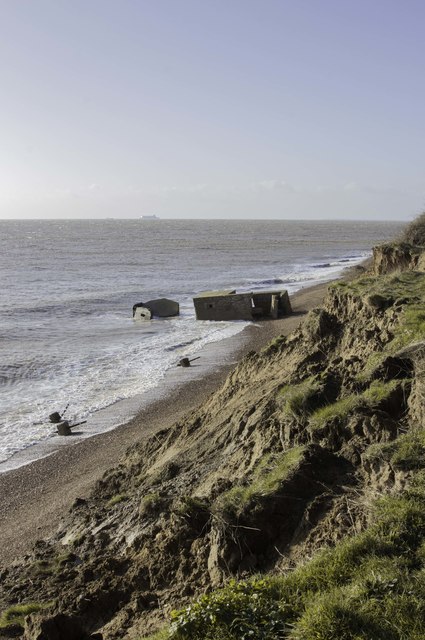
One of the main attractions in Bawdsey is its stunning beach, which stretches for miles along the coast. The beach is popular among locals and visitors alike, offering a serene environment for walking, sunbathing, and enjoying the stunning views of the North Sea. The village is also home to a small harbor, where fishing boats and pleasure crafts can be seen coming and going.
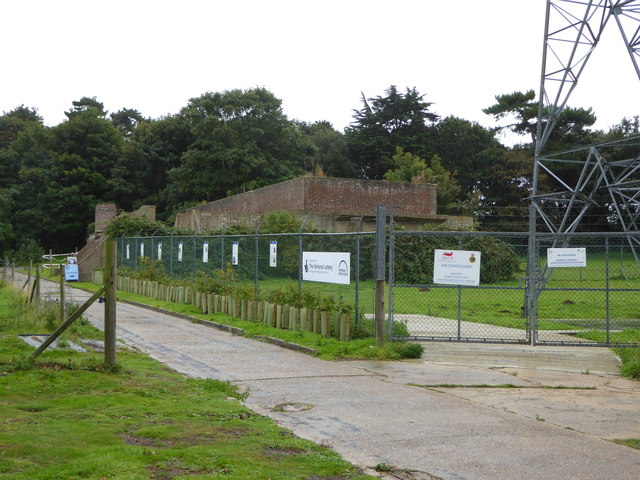
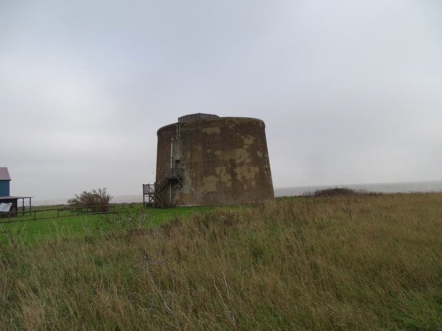
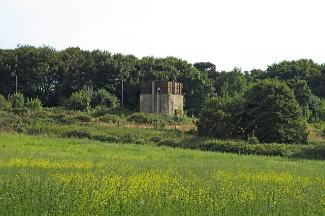
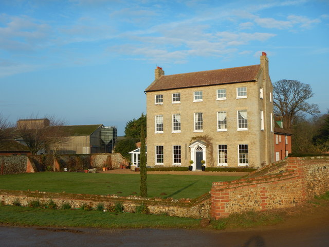
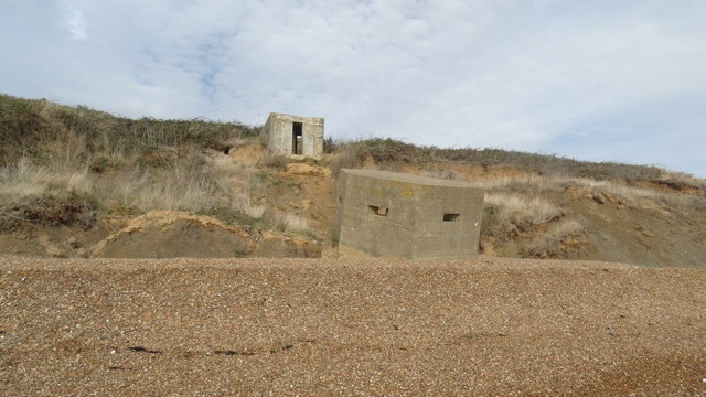
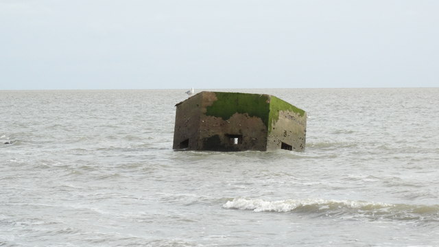
Bawdsey is renowned for its rich history, particularly in relation to its military significance. During World War II, the village was a key location for the development of radar technology. The Bawdsey Manor Estate, a former country house, was transformed into a top-secret research center where scientists worked on radar systems that played a crucial role in the war effort. Today, the Bawdsey Radar Trust operates a museum in the Manor Estate, showcasing the history and development of radar technology.
In addition to its natural and historical attractions, Bawdsey offers a range of amenities for residents and visitors. There is a village hall, a primary school, a pub, and a few shops where essentials can be purchased. The village also hosts various events throughout the year, including a popular summer fete and a Christmas market. Bawdsey provides a peaceful and idyllic setting for those seeking a quintessential English coastal village experience.
If you have any feedback on the listing, please let us know in the comments section below.
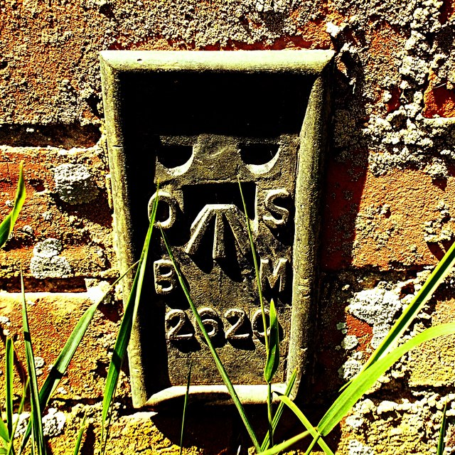
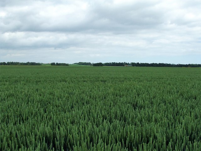
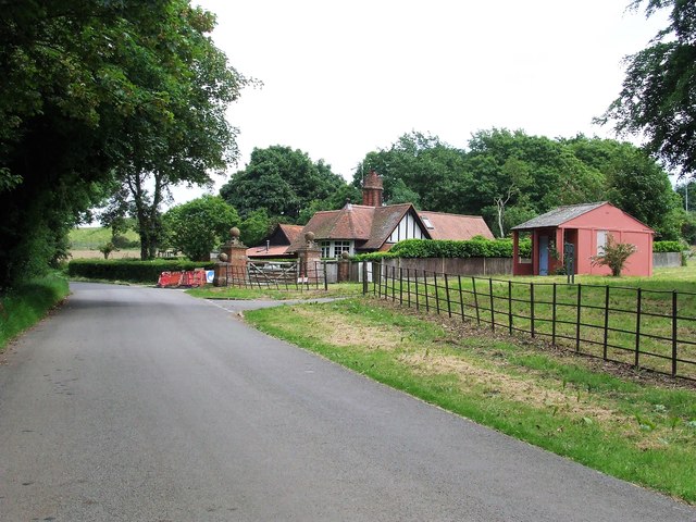
Bawdsey Images
Images are sourced within 2km of 52.009115/1.418742 or Grid Reference TM3440. Thanks to Geograph Open Source API. All images are credited.


Bawdsey is located at Grid Ref: TM3440 (Lat: 52.009115, Lng: 1.418742)
Administrative County: Suffolk
District: East Suffolk
Police Authority: Suffolk
What 3 Words
///candy.roost.runs. Near Felixstowe, Suffolk
Nearby Locations
Related Wikis
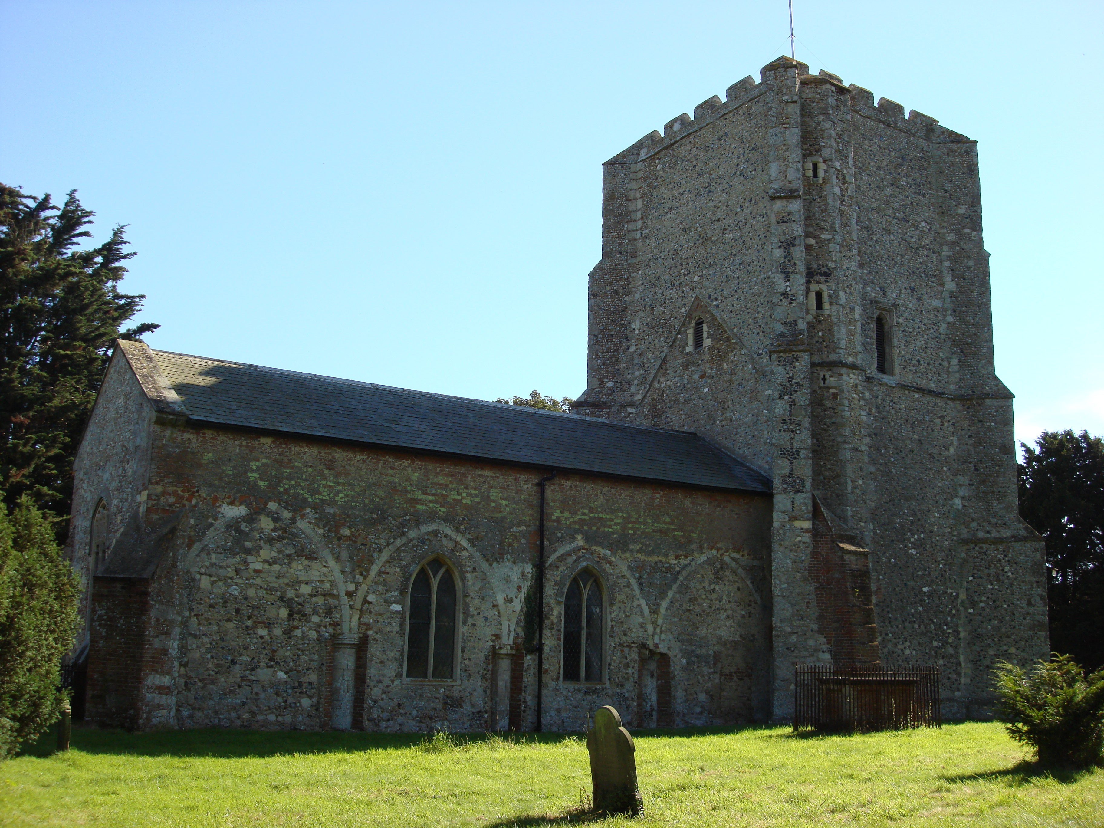
Bawdsey
Bawdsey is a village and civil parish in Suffolk, eastern England. Located on the other side of the river Deben from Felixstowe, it had an estimated population...

Bawdsey Cliff
Bawdsey Cliff is a 17.4-hectare (43-acre) geological Site of Special Scientific Interest north-east of Felixstowe in Suffolk. It is a Geological Conservation...
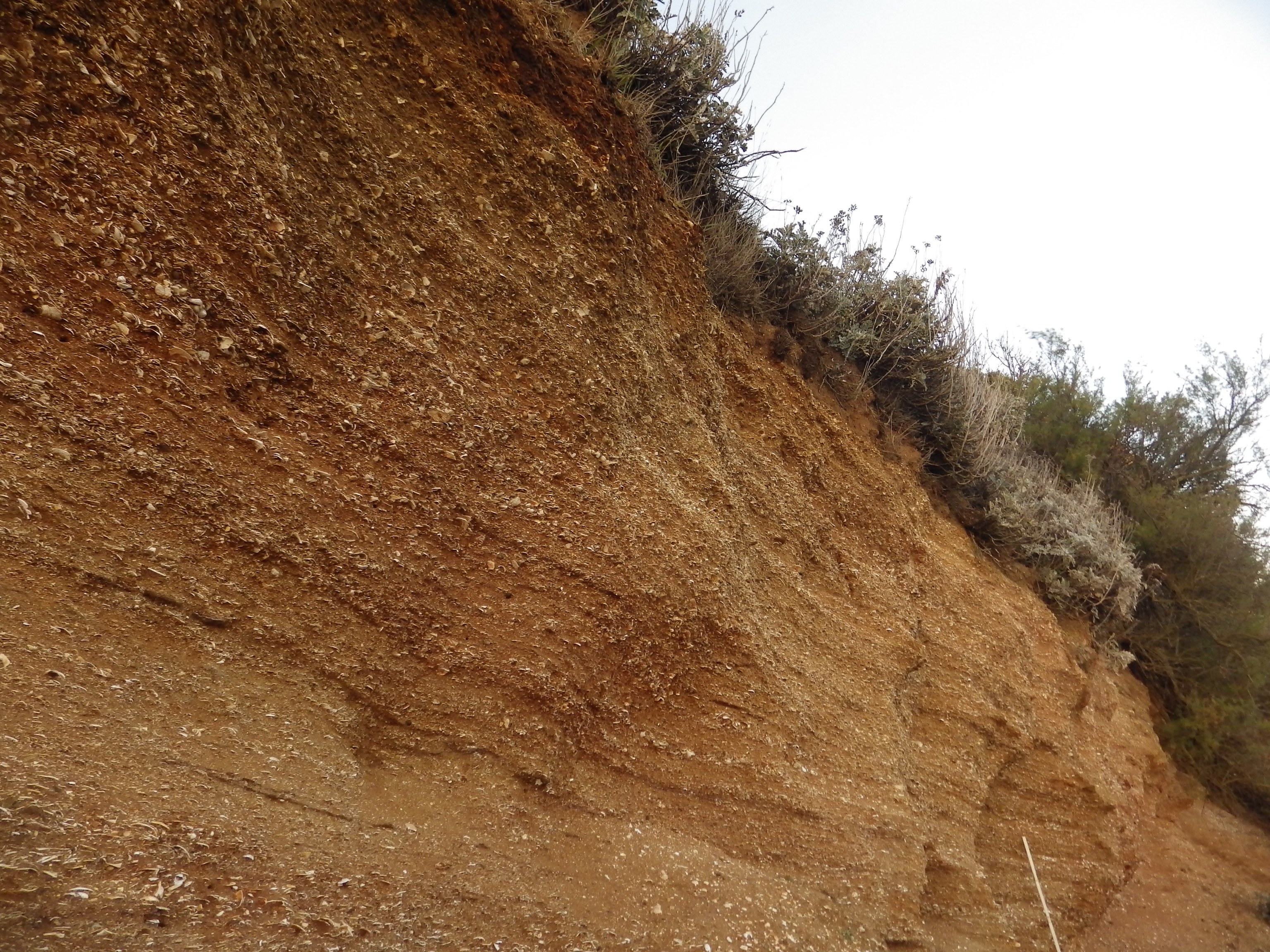
Red Crag Formation
The Red Crag Formation is a geological formation in England. It outcrops in south-eastern Suffolk and north-eastern Essex. The name derives from its iron...
Alderton, Suffolk
Alderton is a village and civil parish in the East Suffolk district of Suffolk, England, about six miles north of Felixstowe, 10 miles south-east of Woodbridge...

RAF Bawdsey
Royal Air Force Bawdsey or more simply RAF Bawdsey is a former Royal Air Force station situated on the eastern coast in Suffolk, England. Also known as...

Buckanay Farm Pit, Alderton
Buckanay Farm Pit, Alderton is a 0.7-hectare (1.7-acre) geological Site of Special Scientific Interest east of Alderton in Suffolk. It is a Geological...

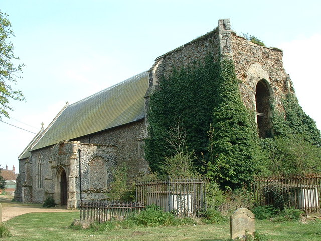
Bawdsey Manor
Bawdsey Manor stands at a prominent position at the mouth of the River Deben close to the village of Bawdsey in Suffolk, England, about 75 miles (120 km...

Felixstowe Ferry
Felixstowe Ferry is a hamlet in Suffolk, England, approximately two miles northeast of Felixstowe at the mouth of the River Deben with a ferry to the Bawdsey...
Nearby Amenities
Located within 500m of 52.009115,1.418742Have you been to Bawdsey?
Leave your review of Bawdsey below (or comments, questions and feedback).