Bawdrip
Settlement in Somerset Sedgemoor
England
Bawdrip
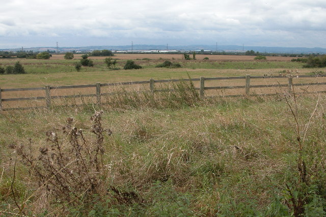
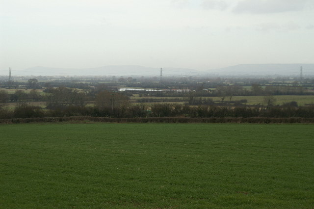
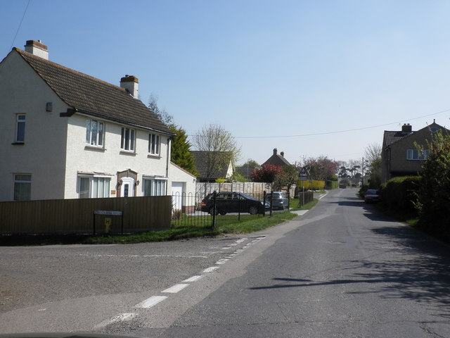
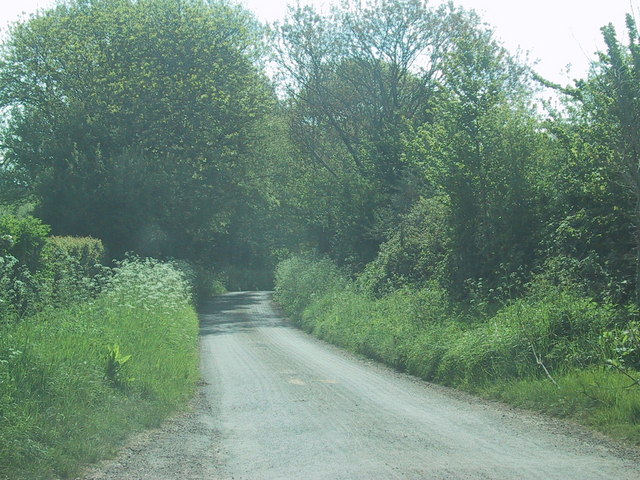
Bawdrip is a small village located in the county of Somerset, England. It lies approximately 7 miles to the east of Bridgwater and is situated on the Somerset Levels, a unique and picturesque area known for its wetlands and natural beauty.
The village of Bawdrip has a long history, with evidence of human habitation dating back to the Roman times. It is believed to have been settled by the Saxon tribe, and the name "Bawdrip" is thought to have derived from the Old English words "baedan" and "thorp," meaning the village of the bards or minstrels.
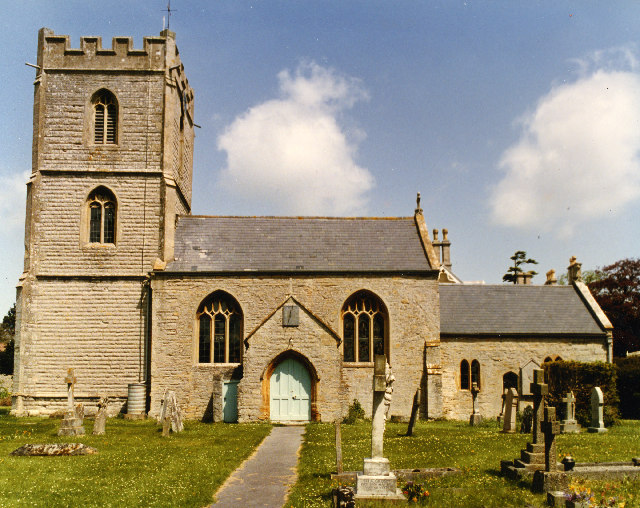
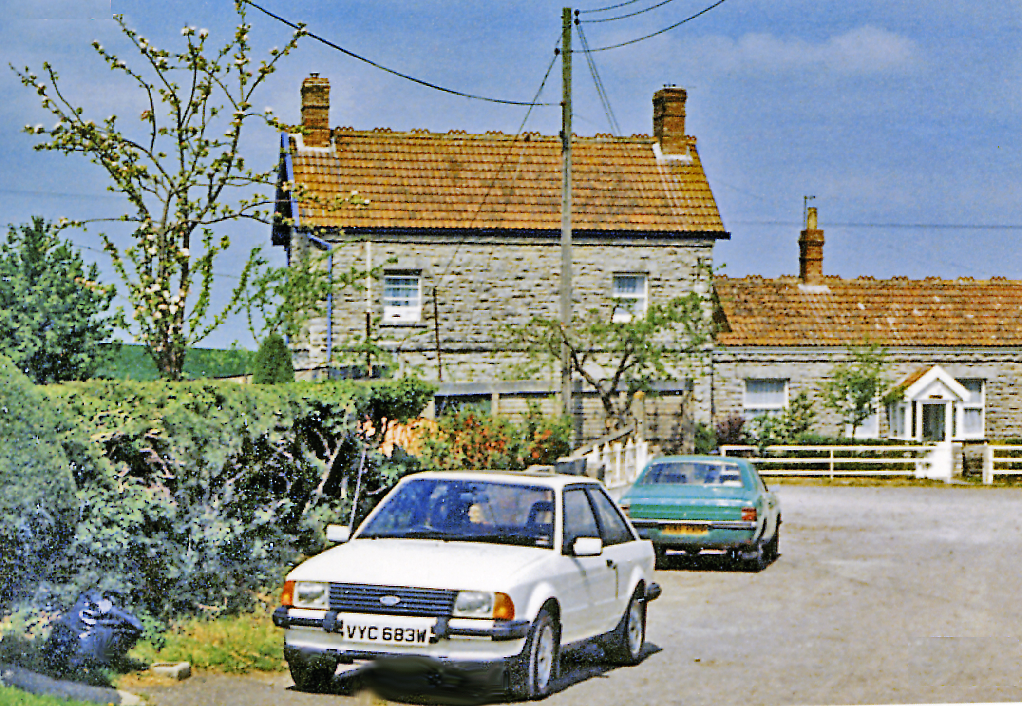
Today, Bawdrip is a quiet and charming village with a close-knit community. It is well-known for its traditional thatched cottages, which add to the village's character and appeal. The village also boasts a historic church, St. Michael and All Angels, which dates back to the 13th century and is a notable architectural landmark.
The surrounding countryside offers beautiful views and opportunities for outdoor activities such as walking, cycling, and birdwatching. The village is conveniently located near the M5 motorway, providing easy access to larger towns and cities in the region.
Bawdrip may be small in size, but it is a place that offers a peaceful and idyllic setting for those seeking a slower pace of life. With its rich history and natural beauty, Bawdrip is a hidden gem in the heart of Somerset.
If you have any feedback on the listing, please let us know in the comments section below.
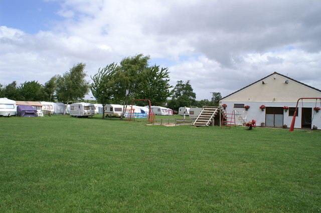
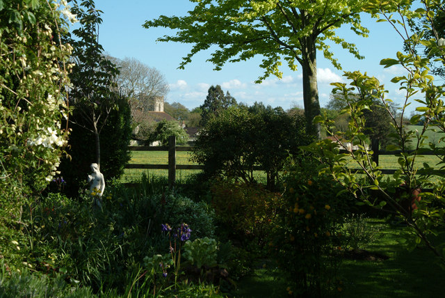
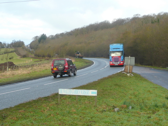
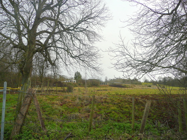
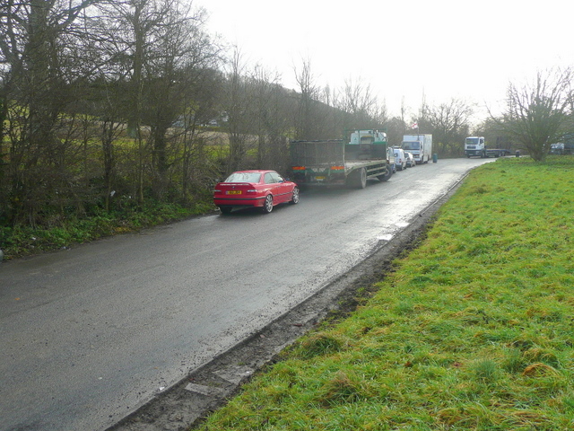
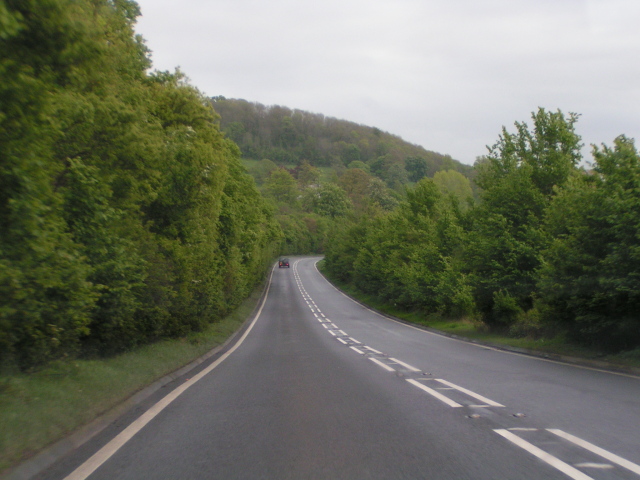
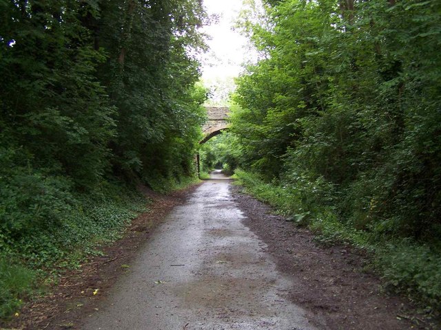
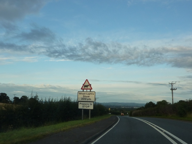
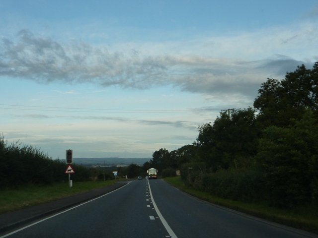
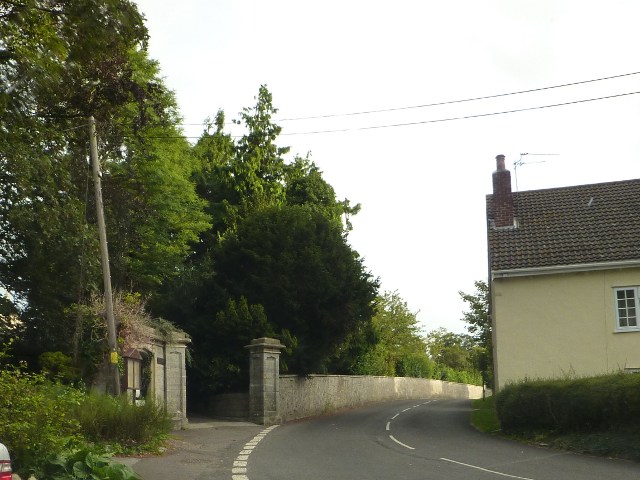
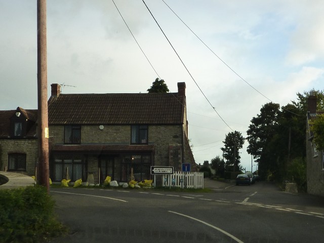
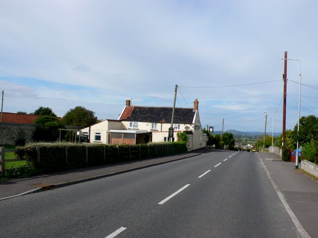
Bawdrip Images
Images are sourced within 2km of 51.152602/-2.942374 or Grid Reference ST3439. Thanks to Geograph Open Source API. All images are credited.
Bawdrip is located at Grid Ref: ST3439 (Lat: 51.152602, Lng: -2.942374)
Administrative County: Somerset
District: Sedgemoor
Police Authority: Avon and Somerset
What 3 Words
///oldest.divided.crucially. Near Woolavington, Somerset
Related Wikis

Bawdrip Halt railway station
Bawdrip Halt was a railway station at Bawdrip on the Bridgwater branch of the Somerset and Dorset Joint Railway. Although the line had opened in 1890,...

Bawdrip
Bawdrip is a village and civil parish in Somerset, England. The village is on the south side of the Polden Hills about 4 miles (6.4 km) north-east of Bridgwater...

Church of St Michael and All Angels, Bawdrip
The Anglican Church of St Michael and All Angels in Bawdrip, Somerset, England was built in the late 13th or early 14th century. It is a Grade II* listed...

Cossington, Somerset
Cossington is a village and civil parish close to Woolavington and 5 miles (8 km) north of Bridgwater, in Somerset, England. The village lies on the north...
Church of St Mary, Cossington
The Anglican Church of St Mary in Cossington within the English county of Somerset was built in the 13th century. It is a Grade II* listed building....
Cossington railway station
Cossington railway station was a station at Cossington on the Bridgwater branch of the Somerset and Dorset Joint Railway, built to link the line at Edington...
Bridgwater Rural District
Bridgwater was a rural district in Somerset, England, from 1894 to 1974. It was created in 1894 under the Local Government Act 1894. In 1974 it was abolished...

Bridgwater Without
Bridgwater Without is a civil parish in the Sedgemoor district of Somerset, England. It lies to the east and south west of Bridgwater. The parish includes...
Nearby Amenities
Located within 500m of 51.152602,-2.942374Have you been to Bawdrip?
Leave your review of Bawdrip below (or comments, questions and feedback).