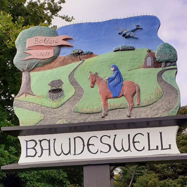
Bawdeswell
Settlement in Norfolk Breckland
England
Bawdeswell
Bawdeswell is a small village located in the county of Norfolk, England. Situated approximately 15 miles northwest of the city of Norwich, it falls within the district of Breckland. The village is surrounded by picturesque countryside, characterized by rolling fields and farmland.
With a population of around 1,000 residents, Bawdeswell has a close-knit community feel. The village boasts a range of amenities, including a primary school, a village hall, a post office, a convenience store, and a pub. These facilities provide essential services for both locals and visitors.
The village is known for its beautiful historic church, St. Mary's, which dates back to the 14th century. The church's striking architecture and peaceful surroundings make it a popular attraction for visitors interested in history and heritage.
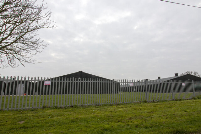
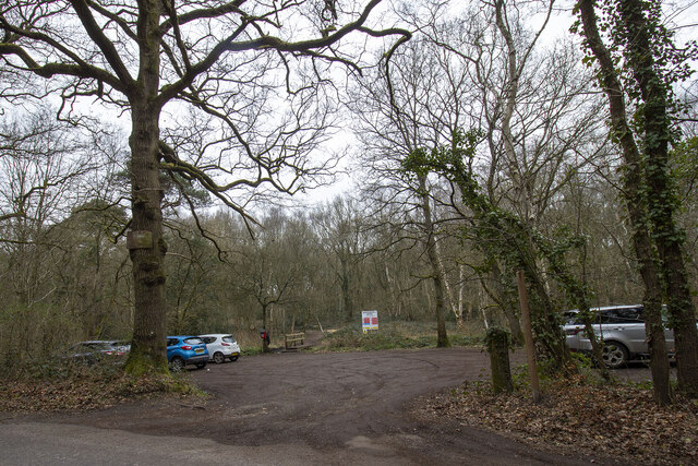
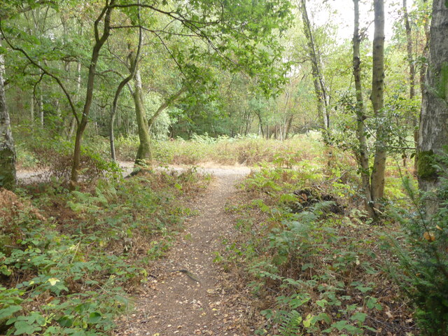
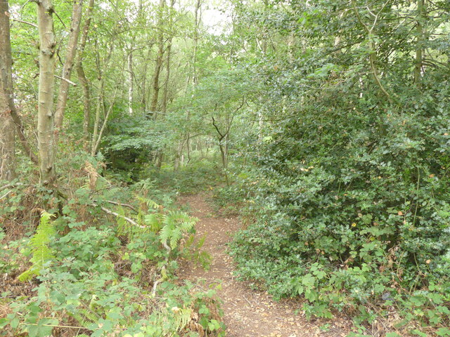
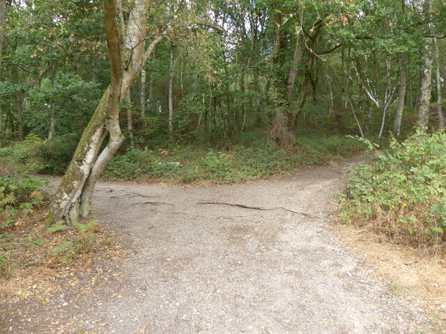
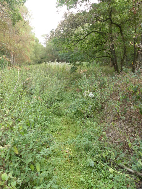
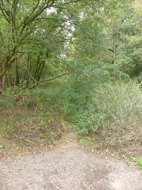
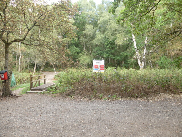
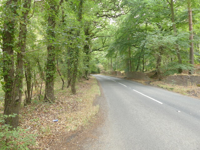
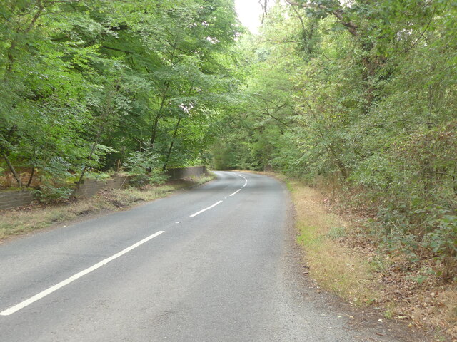
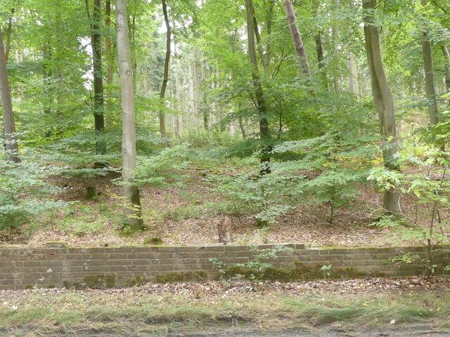
Bawdeswell is also home to a nature reserve, known as Bawdeswell Heath, which covers approximately 30 acres of heathland and woodland. This natural haven provides a habitat for a variety of wildlife, such as birds, butterflies, and reptiles. It offers scenic walking trails and is a favorite spot for nature enthusiasts and dog walkers.
Overall, Bawdeswell offers a tranquil and picturesque setting, combined with essential amenities and a strong sense of community. Whether exploring the local history, enjoying the natural surroundings, or simply embracing the village's charm, Bawdeswell provides a welcoming and peaceful destination in the heart of Norfolk.
If you have any feedback on the listing, please let us know in the comments section below.
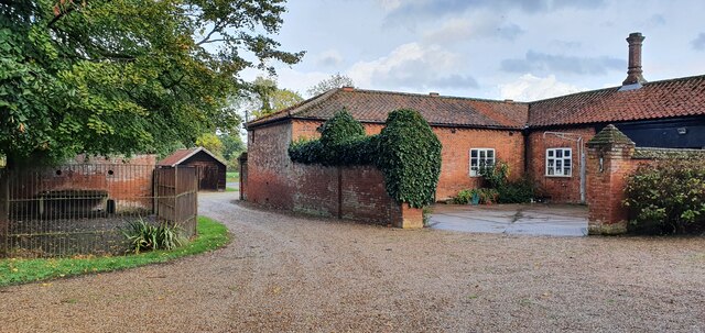
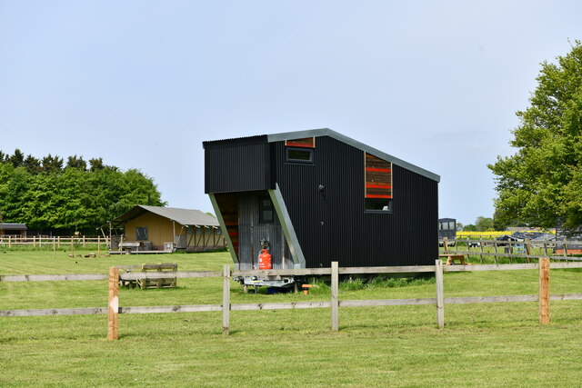
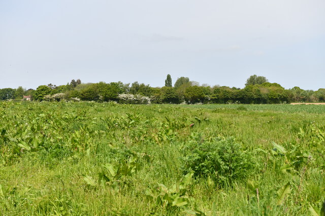
Bawdeswell Images
Images are sourced within 2km of 52.746727/1.031429 or Grid Reference TG0420. Thanks to Geograph Open Source API. All images are credited.

Bawdeswell is located at Grid Ref: TG0420 (Lat: 52.746727, Lng: 1.031429)
Administrative County: Norfolk
District: Breckland
Police Authority: Norfolk
What 3 Words
///alley.tickles.spite. Near Foulsham, Norfolk
Nearby Locations
Related Wikis

Bawdeswell
Bawdeswell is a small rural village and civil parish in Norfolk, England. At the time of the 2011 census it had a population of 828 and an area of 487...

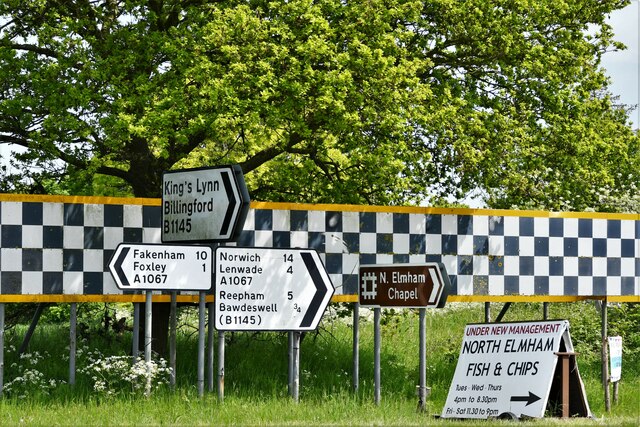
Foxley
Foxley is a village and civil parish in Norfolk, England. The village is 6 miles (10 km) north-east of Dereham and 15 miles (24 km) north-west of Norwich...

B1145 road
The B1145 runs for about 52 miles (84 km) through the county of Norfolk, England, between King’s Lynn and Mundesley. The road is an alternative route to...

Foxley Wood
Foxley Wood is a nature reserve in Foxley, Norfolk, England, the largest ancient woodland and coppice in Norfolk. The Norfolk Wildlife Trust, which manages...

Bylaugh
Bylaugh is a civil parish in Norfolk, England 4.5 miles (7.2 km) north-east of East Dereham and 13.5 miles (21.7 km) WNW of Norwich. For the purposes...
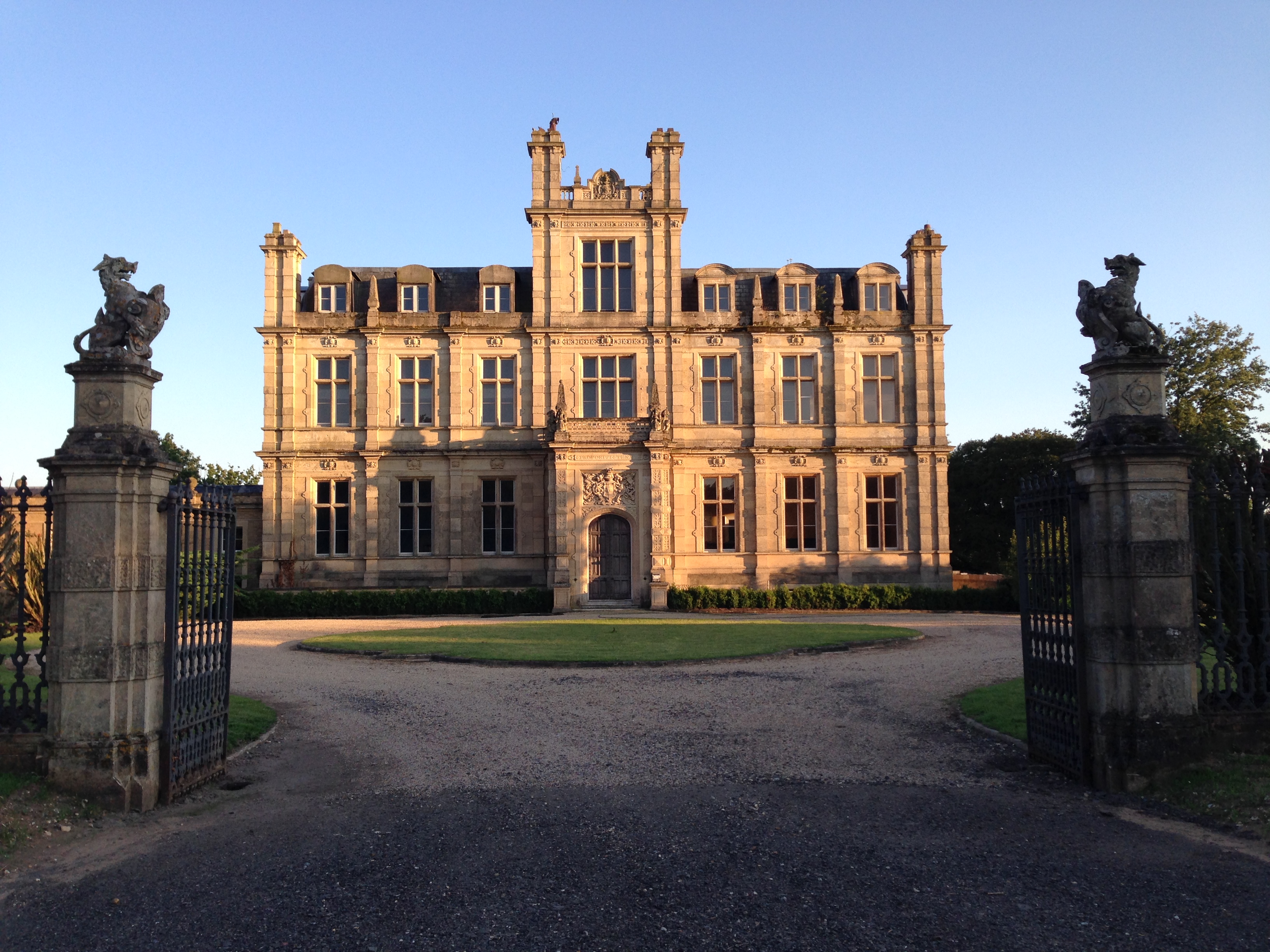
Bylaugh Hall
Bylaugh Hall, also known as Bylaugh Park, is a country house situated in the parish of Bylaugh in Norfolk, England. == History == The estate was acquired...

Beck Hall
Beck Hall, Bec Hall or Bek Hall is a grade II listed 18th-century farmhouse in Billingford, Breckland, Norfolk, England. It is believed to be on the site...

Sparham
Sparham is a village and civil parish in Norfolk, England. It covers an area of 7.22 km2 (2.79 sq mi) and had a population of 291 in 109 households at...
Related Videos

Norwich Duck Race + Bank Holiday
YuGeicz in the UK.

CAMPSITE AND AREA TOUR IN MID NORFOLK .CAMPERVAN TRAVEL VLOG
campsite #campervanadventures #campsitereview I stay on Bylaugh Country park caravan and campsite. I will show you around ...

Foxley Wood Norfolk Wildlife Trust
abundance of butterflies.

Shetland Pony River Walk
One of our valued volunteers taking Poppy the Shetland for a walk in the shallows of the River Wensum! Want to learn more about ...
Nearby Amenities
Located within 500m of 52.746727,1.031429Have you been to Bawdeswell?
Leave your review of Bawdeswell below (or comments, questions and feedback).