Baxterley

Settlement in Warwickshire North Warwickshire

England

Baxterley

Atherstone Lane at Baxterley
Atherstone Lane at Baxterley Credit: Ian S

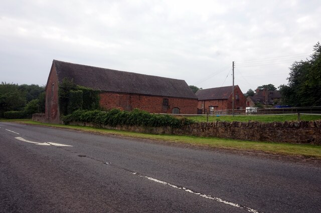
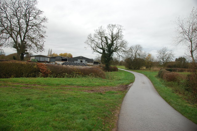
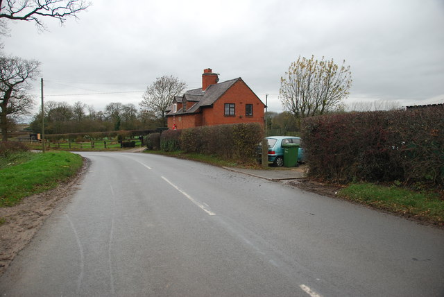
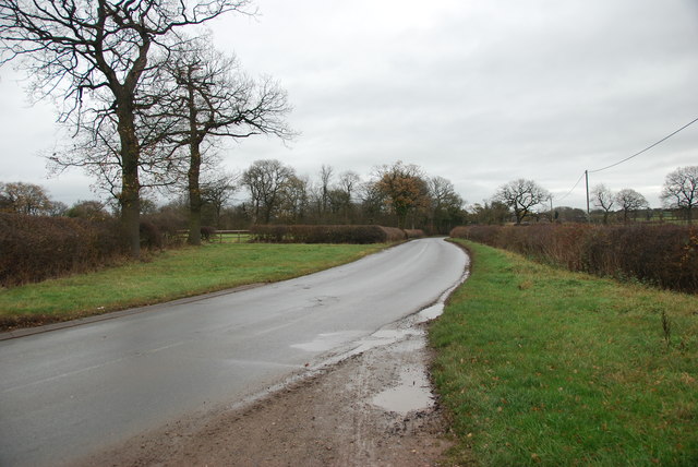
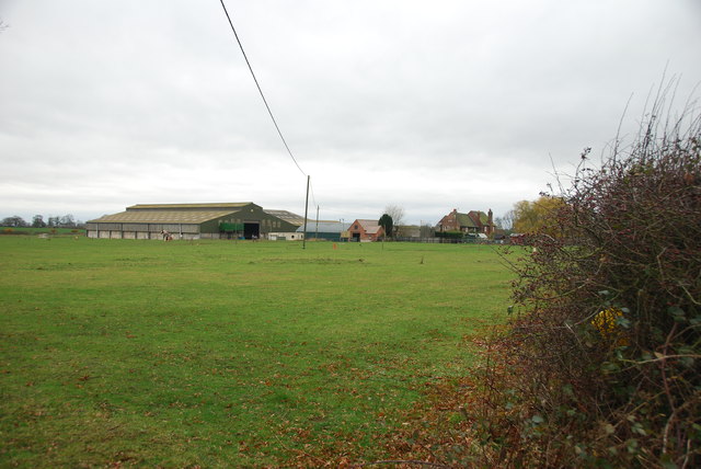
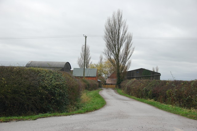
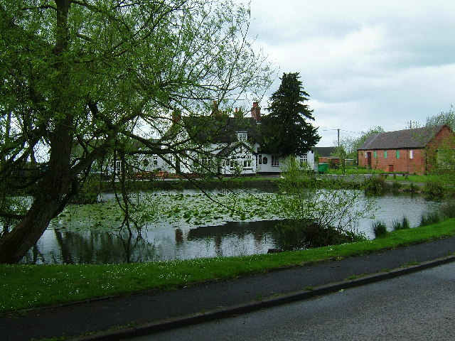
Baxterley is a small village located in the county of Warwickshire, England. Situated in the north of the county, it lies approximately 10 miles northeast of the town of Nuneaton. The village is nestled within the picturesque countryside, surrounded by fields and farmland, contributing to its peaceful and rural character.

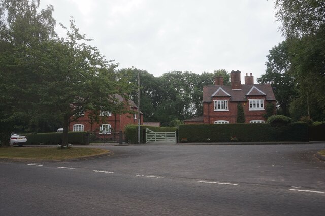
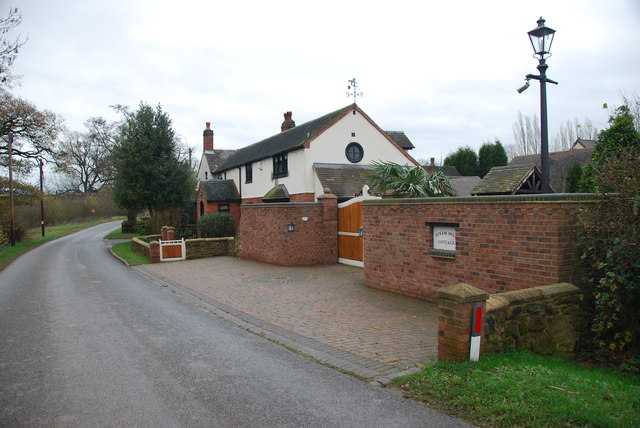
Baxterley has a rich history, with evidence of human settlement dating back to the Roman times. The village is known for its charming traditional architecture, with many of its buildings constructed from local sandstone, creating a distinctive and timeless aesthetic.

Despite its small size, Baxterley offers a range of amenities to its residents. These include a village hall, a community center, and a primary school, providing essential services and promoting a sense of community cohesion. The village also boasts a public house, providing a social hub for locals and visitors alike.

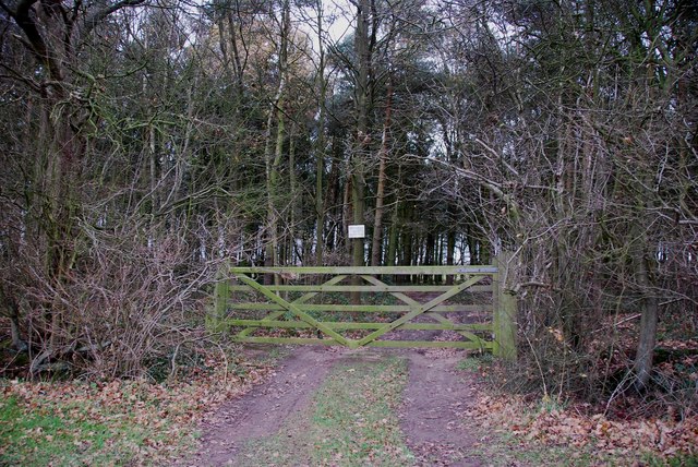
Nature enthusiasts will find plenty to explore in Baxterley, as the village is surrounded by stunning countryside and offers numerous walking and cycling routes. The nearby Hartshill Hayes Country Park provides additional opportunities for outdoor activities and offers breathtaking views of the surrounding area.

Baxterley benefits from its proximity to larger towns such as Nuneaton and Atherstone, which provide access to a wider range of amenities and services, including shopping centers, healthcare facilities, and leisure activities.

Overall, Baxterley offers a tranquil and idyllic setting for those seeking a rural lifestyle while still having easy access to essential amenities and nearby towns.

If you have any feedback on the listing, please let us know in the comments section below.
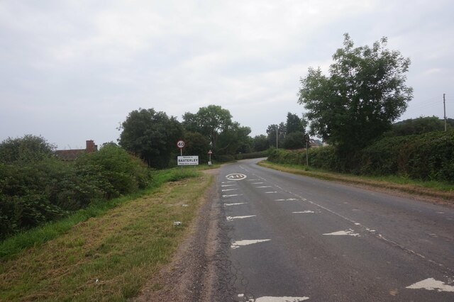
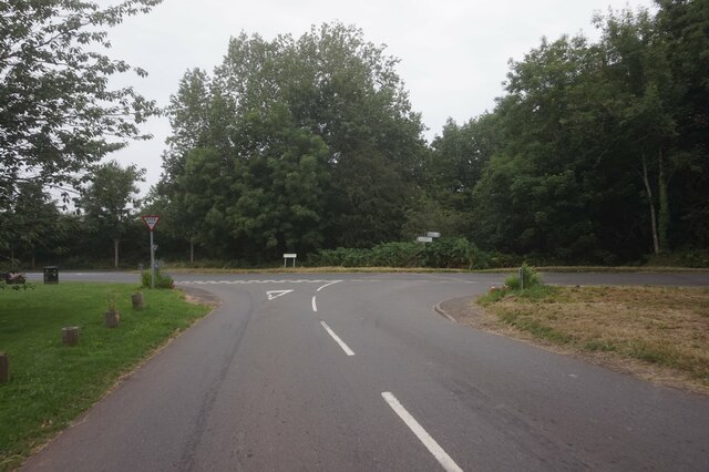
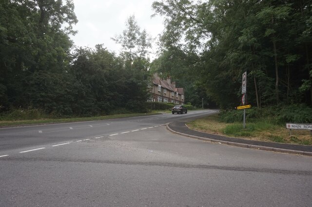
Baxterley Images

Images are sourced within 2km of 52.569923/-1.592241 or Grid Reference SP2796. Thanks to Geograph Open Source API. All images are credited.

Atherstone Lane at Baxterley
Windmill Lane at Main Road, Baxterley
The B4116 Merevale Lane from Main Road, Hurley
Houses on Merevale Lane, Hurley
Abbey Farm on Merevale Lane
Baddesley Ensor Church St Nicholas.
Baddesley Ensor Church
St Nicholas.
Church of Our Lady, Merevale
A country lane in autumn colours near Bentley
No Entry to Private Woodland
Looking towards Drybrooks Farm, Wigston hill
Across the Green at Wigston Hill
A House on Atherstone Lane Boultbee's Farm can just be seen on the left of the picture.
A House on Atherstone Lane
Boultbee's Farm can just be seen on the left of the picture.
Atherstone Lane towards Wigston Hill
Looking across horse pasture to Boultbee Farm
Steam Mill Cottage near Baxterley The renovation work that has been done on this cottage is very impressive.
Steam Mill Cottage near Baxterley
The renovation work that has been done on this cottage is very impressive.
An old Barn near Baxterley The "Broken backed byre" taken by Rob Farrow in 2006, can just be seen behind this barn. see Link    <a title="https://www.geograph.org.uk/photo/111038" href="https://www.geograph.org.uk/photo/111038">Link</a>
An old Barn near Baxterley
The "Broken backed byre" taken by Rob Farrow in 2006, can just be seen behind this barn. see Link Link
Driveway to Kiddle's Farm, Baxterley The farm itself is in square SP2796.
Driveway to Kiddle's Farm, Baxterley
The farm itself is in square SP2796.
View Northward along the B4116 Bentley Common Road The overgrown land on the left hand side, is where the Baxterley mine once stood. see Link  <span class="nowrap"><a title="http://www.baxterley.com/?page_id=60" rel="nofollow ugc noopener" href="http://www.baxterley.com/?page_id=60">Link</a><img style="margin-left:2px;" alt="External link" title="External link - shift click to open in new window" src="https://s1.geograph.org.uk/img/external.png" width="10" height="10"/></span>
View Northward along the B4116 Bentley Common Road
The overgrown land on the left hand side, is where the Baxterley mine once stood. see Link LinkExternal link
Show me another place!

Baxterley is located at Grid Ref: SP2796 (Lat: 52.569923, Lng: -1.592241)

Administrative County: Warwickshire

District: North Warwickshire

Police Authority: Warwickshire

What 3 Words

///aspect.wriggled.warp. Near Atherstone, Warwickshire

Nearby Locations

Wheatleys Wood Baxterley

Related Wikis

Baxterley

Baxterley is a small village and civil parish in the North Warwickshire district of Warwickshire in England. According to the 2001 Census, it had a population...

Baddesley Ensor

Baddesley Ensor is a village and civil parish in the district of North Warwickshire in Warwickshire, England, about three miles west of Atherstone. It...

Bentley, Warwickshire

Bentley is a village and civil parish in the North Warwickshire district of Warwickshire, England, about two miles south-west of Atherstone. According...

Bentley Common

Bentley Common is a village in Warwickshire, England. For population details see Merevale. == External links == Media related to Bentley Common at Wikimedia...

St Mary The Church of Our Lady, Merevale

St. Mary The Church of Our Lady Merevale, is a historic parish church in Merevale, Warwickshire is known for its Jesse window. Originally, it was part...

Merevale

Merevale is a small village and civil parish in the North Warwickshire district of the county of Warwickshire in England. Located about one and a half...

Merevale Hall

Merevale Hall is a private country house in Merevale, near Atherstone, Warwickshire, England. It is a Grade II* listed building. The estate descends from...
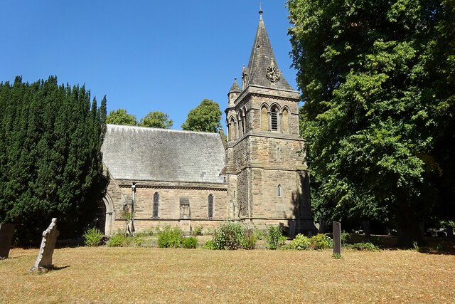
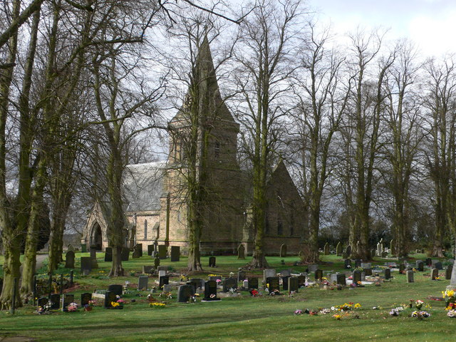
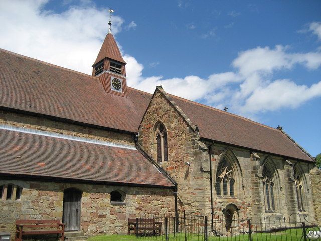
Baxterley Church

Baxterley Church is situated at the western side of the parish of Baxterley, Warwickshire, towards Wood End, and dates from the 12th century. == History... ==

Nearby Amenities

Located within 500m of 52.569923,-1.592241
Post Box
Post Box Mounting: brick_pillar
Post Box Type: wall
Postal Code: CV9
Ref: CV9 10
Lat/Long: 52.5699492/-1.591909
Telephone
Defibrillator
Booth: K6
Covered: booth
Defibrillator Location: inside red phone box on green, Baxterley
Emergency: defibrillator
Man Made: telephone_box
Ref: 4525
Ref GB The Circuit: D8ACEAC0-B4BA-4CCC-8610-8F0CA0ABE08D
Lat/Long: 52.5699416/-1.59185
Bus Stop
Rose Inn
Bus: yes
Naptan AtcoCode: 4200F006000
Naptan Bearing: W
Naptan CommonName: Rose Inn
Naptan Indicator: Adj
Naptan NaptanCode: waradgjt
Naptan Street: Main Road
Naptan Verified: no
Public Transport: platform
Source: naptan_import
Lat/Long: 52.5699914/-1.5925203
Bus Stop
The Orchard
Bus: yes
Naptan AtcoCode: 4200F006100
Naptan Bearing: E
Naptan CommonName: The Orchard
Naptan Indicator: Adj
Naptan NaptanCode: waragdwp
Naptan Street: Main Street
Naptan Verified: no
Public Transport: platform
Shelter: yes
Source: naptan_import
Lat/Long: 52.5713369/-1.5973662
Baxterley
Place: village
Source: survey
Wikidata: Q2451105
Lat/Long: 52.5708202/-1.5927567
Give Way
Source: Warwicks CC Aerial Imagery 2013
Lat/Long: 52.5712629/-1.5973936
Give Way
Source: Warwicks CC Aerial Imagery 2013
Lat/Long: 52.5697415/-1.586768
Generator Method: photovoltaic
Generator Output Electricity: yes
Generator Source: solar
Generator Type: solar_photovoltaic_panel
Location: roof
Power: generator
Lat/Long: 52.5698588/-1.5936157
Generator Method: photovoltaic
Generator Output Electricity: yes
Generator Source: solar
Generator Type: solar_photovoltaic_panel
Location: roof
Power: generator
Lat/Long: 52.5701344/-1.5947342
Advertising: board
Lat/Long: 52.5699732/-1.5918964
Man Made: flagpole
Lat/Long: 52.5699398/-1.5916577
Baxterley Quarry
Natural: cliff
Lat/Long: 52.5708326/-1.5850911
Generator Method: photovoltaic
Generator Output Electricity: yes
Generator Source: solar
Generator Type: solar_photovoltaic_panel
Power: generator
Lat/Long: 52.5688269/-1.5889312
The data included in this document is from www.openstreetmap.org. The data is made available under ODbL.

Have you been to Baxterley?

Leave your review of Baxterley below (or comments, questions and feedback).