Baxter's Green
Settlement in Suffolk West Suffolk
England
Baxter's Green

Baxter's Green is a charming village located in Suffolk, England. Nestled in the heart of the picturesque countryside, this idyllic hamlet offers a peaceful and serene atmosphere for its residents and visitors alike.
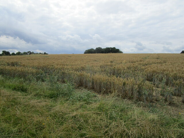
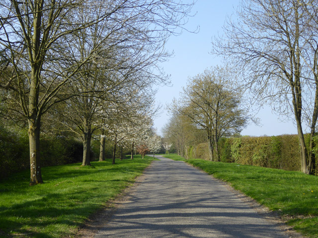
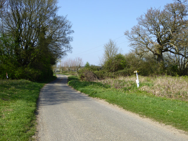
Known for its stunning natural beauty, Baxter's Green is surrounded by lush green fields and rolling hills, making it a haven for nature lovers and outdoor enthusiasts. The village is blessed with an abundance of wildlife, including various species of birds and small mammals, which can be spotted in the surrounding woodlands and meadows.
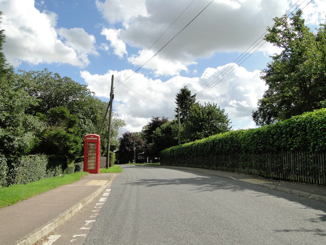
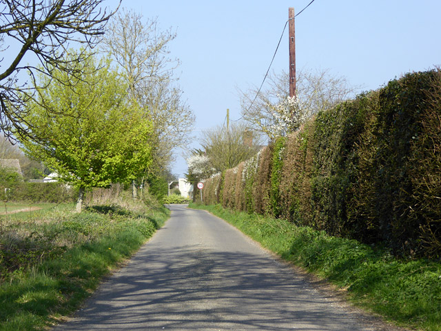
The village itself is characterized by its quaint and traditional architecture, with several historic buildings dating back to the 18th and 19th centuries. The cobblestone streets and thatched-roof cottages add to the village's charm and give it a timeless appeal.
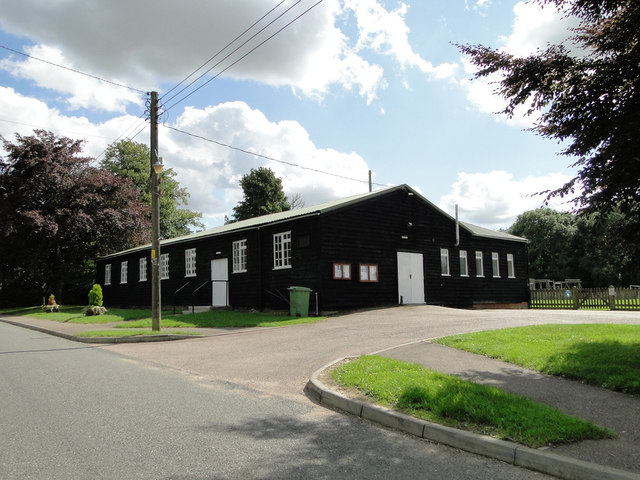
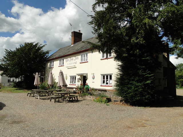
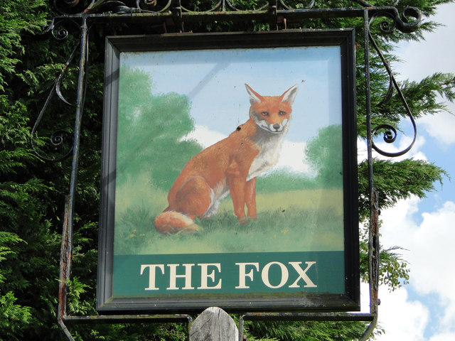
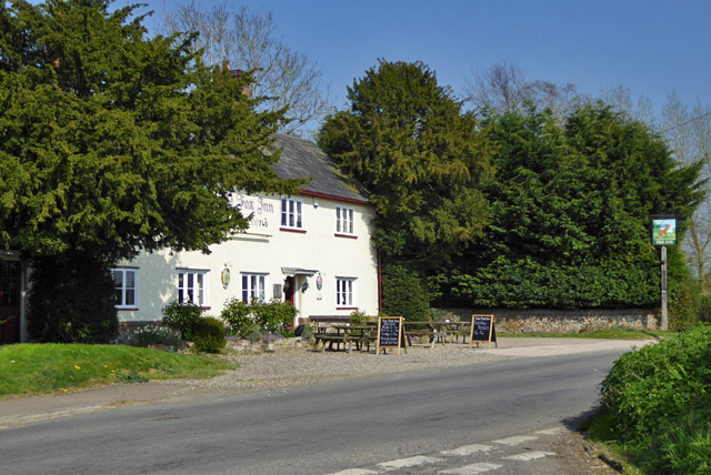
Despite its small size, Baxter's Green has a strong sense of community spirit. The villagers often come together for various social events and gatherings, fostering a close-knit and friendly atmosphere. The village pub, The Green Tavern, serves as a popular meeting place for locals and visitors to enjoy a pint of ale and engage in lively conversations.
While Baxter's Green offers a tranquil and away-from-it-all experience, it is conveniently located within easy reach of the nearby town of Suffolk, which provides all necessary amenities including shops, schools, and medical facilities.
In summary, Baxter's Green is a picturesque and welcoming village that offers a slice of rural paradise to its residents and visitors. With its natural beauty, historic charm, and strong community spirit, it is a truly special place to call home or explore.
If you have any feedback on the listing, please let us know in the comments section below.
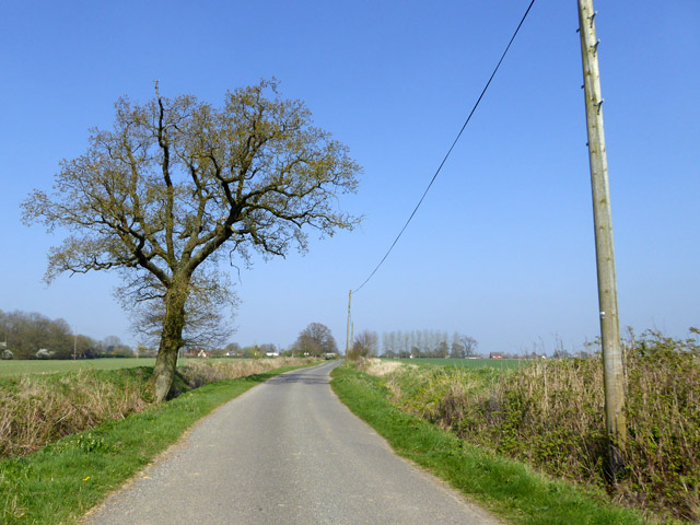
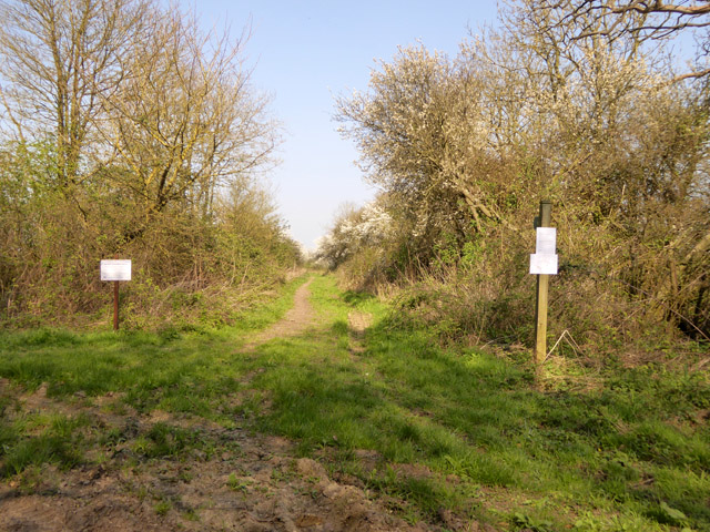
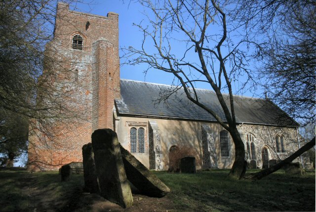
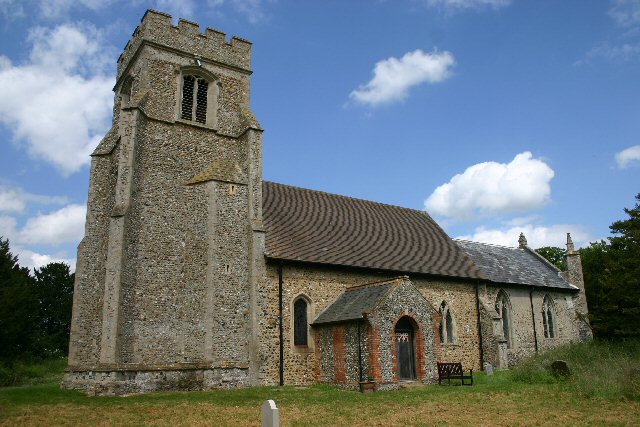
Baxter's Green Images
Images are sourced within 2km of 52.19234/0.57248391 or Grid Reference TL7558. Thanks to Geograph Open Source API. All images are credited.


Baxter's Green is located at Grid Ref: TL7558 (Lat: 52.19234, Lng: 0.57248391)
Administrative County: Suffolk
District: West Suffolk
Police Authority: Suffolk
What 3 Words
///pokes.famed.slides. Near Bury St Edmunds, Suffolk
Nearby Locations
Related Wikis
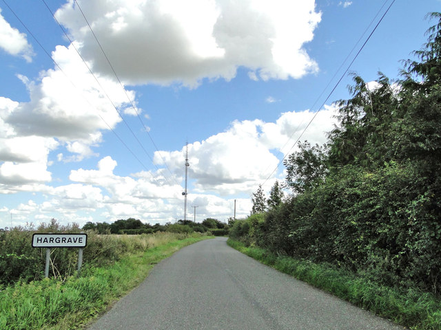
Hargrave, Suffolk
Hargrave is a village and civil parish in the West Suffolk district of Suffolk in eastern England, located about 7 miles (10 km) away from south west of...

Ousden
Ousden is a village and civil parish in the West Suffolk district of Suffolk in eastern England. It is located around six miles west of Bury St Edmunds...

Coltsfoot Green
Coltsfoot Green is a small hamlet within the village of Wickhambrook, Suffolk, England. It constitutes one of its eleven village greens and consists of...
Depden
Depden is a village and civil parish in the West Suffolk district of Suffolk in eastern England. Located on the A143 around five miles south-west of Bury...
Nearby Amenities
Located within 500m of 52.19234,0.57248391Have you been to Baxter's Green?
Leave your review of Baxter's Green below (or comments, questions and feedback).