Bay
Settlement in Inverness-shire
Scotland
Bay
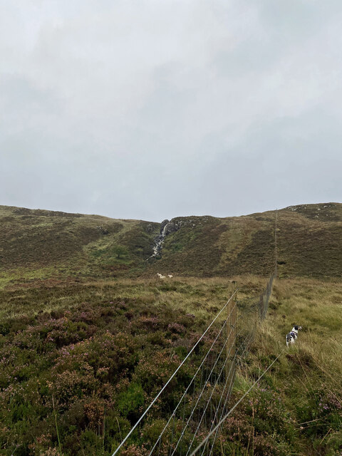
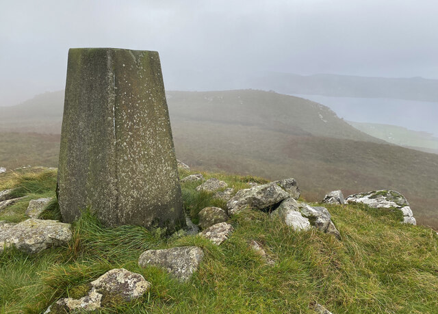
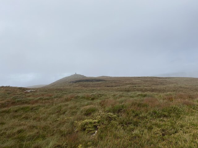
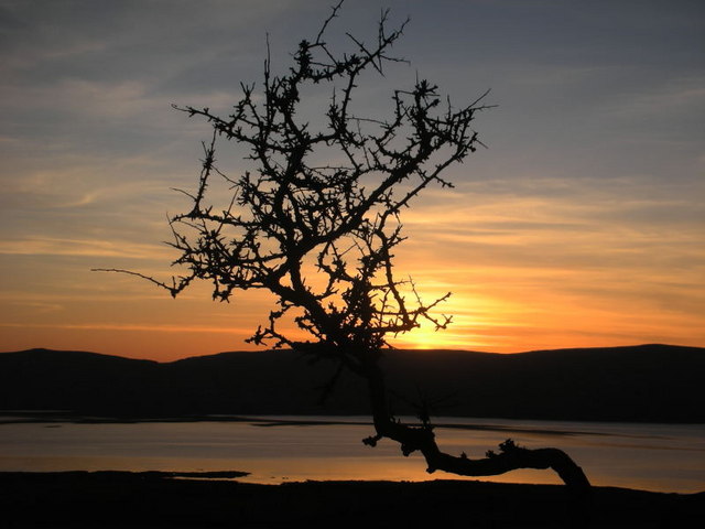
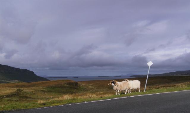
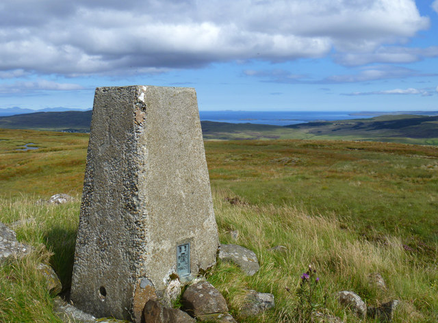
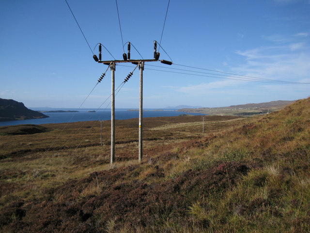
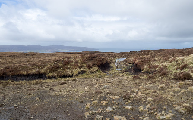
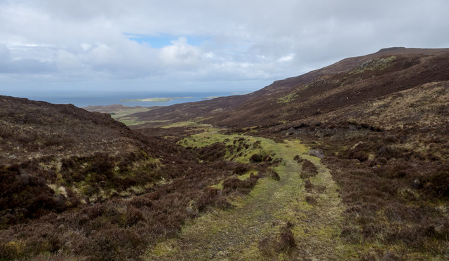
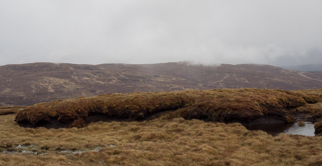
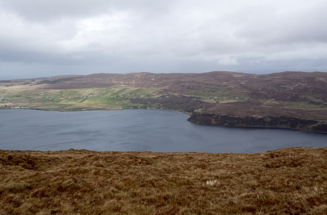
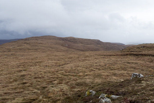
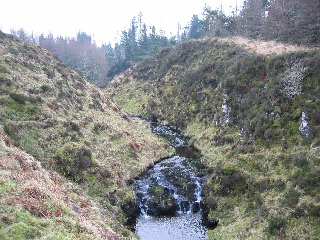
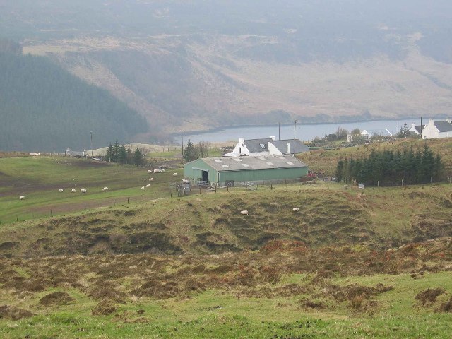
Bay is a small coastal village located in Inverness-shire, Scotland. Situated on the shores of the Moray Firth, Bay offers stunning views of the sea and surrounding countryside. The village is known for its picturesque setting, with rugged cliffs and sandy beaches that attract visitors looking to relax and enjoy the natural beauty of the area.
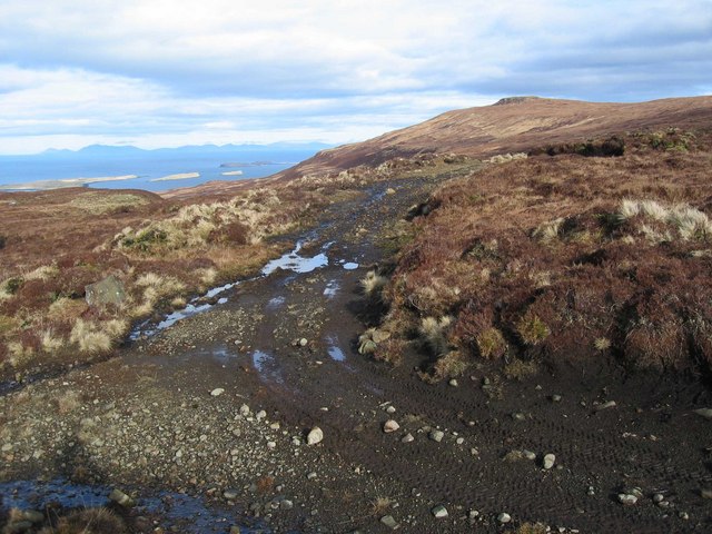
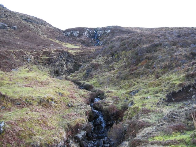
Bay is a popular destination for outdoor enthusiasts, with opportunities for hiking, fishing, and birdwatching in the surrounding area. The village is also home to a small harbor, where visitors can watch fishing boats come and go, or even try their hand at angling.
In terms of amenities, Bay offers a few shops and cafes for visitors to enjoy, as well as a pub where locals and tourists alike can socialize and unwind. The village has a peaceful and laid-back atmosphere, making it an ideal place for those looking to escape the hustle and bustle of city life.
Overall, Bay is a charming seaside village that offers a tranquil retreat for those seeking a relaxing getaway in the Scottish Highlands.
If you have any feedback on the listing, please let us know in the comments section below.
Bay Images
Images are sourced within 2km of 57.484138/-6.5735229 or Grid Reference NG2653. Thanks to Geograph Open Source API. All images are credited.


Bay is located at Grid Ref: NG2653 (Lat: 57.484138, Lng: -6.5735229)
Unitary Authority: Highland
Police Authority: Highlands and Islands
What 3 Words
///works.lengthen.slightly. Near Dunvegan, Highland
Nearby Locations
Related Wikis

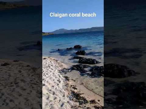
Claigan
Claigan (Scottish Gaelic: An Claigeann) is a small coastal settlement on the north east shore of the sea loch, Loch Dunvegan, on the Waternish peninsula...
Stein, Skye
Stein (Scottish Gaelic: Steinn) is a crofting township, situated on the north eastern shore of Loch Bay, in the west of the Waternish peninsula, on the...

Dun Fiadhairt
Dun Fiadhairt is an Iron Age broch located on the north coast of the island of Skye, in Scotland (grid reference NG23115042). == Location == Dun Fiadhairt...

Dunvegan Castle
Dunvegan Castle (Caisteal Dhùn Bheagain) is located 1 mile (1.6 km) to the north of Dunvegan on the Isle of Skye, off the west coast of Scotland. It is...
Related Videos

Waternish
Our small but perfectly formed corner of the world. To discover, rediscover or add to your bucket list #visitwaternish.

The Lookout Skye.
A great morning to wake to this view ! Luxury Holiday Let For 2 wwwthelookoutskye.co.uk.
Have you been to Bay?
Leave your review of Bay below (or comments, questions and feedback).