West Burra Firth

Sea, Estuary, Creek in Shetland

Scotland

West Burra Firth

Water-lilies in a lochan at West Burrafirth
Water-lilies in a lochan at West Burrafirth Credit: Mike Pennington

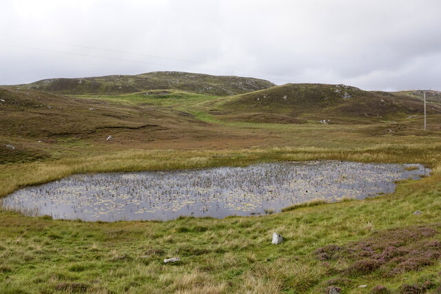
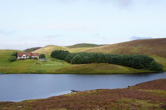
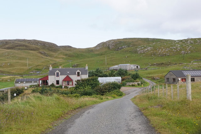
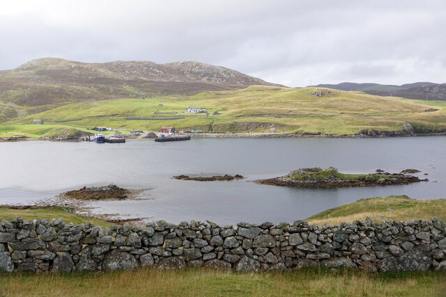
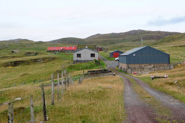
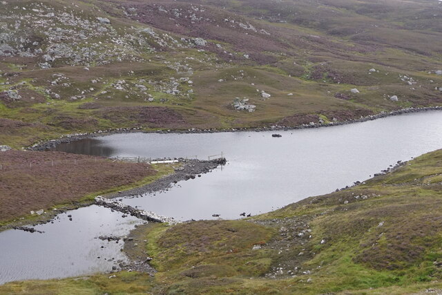
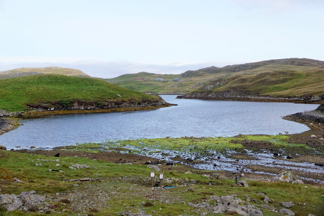
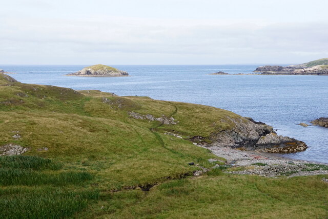
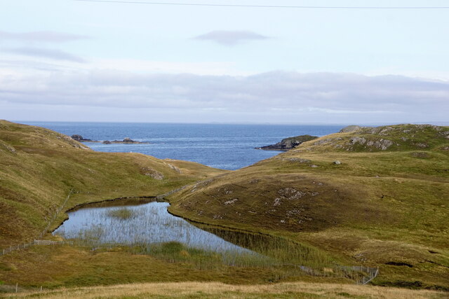
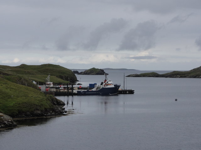
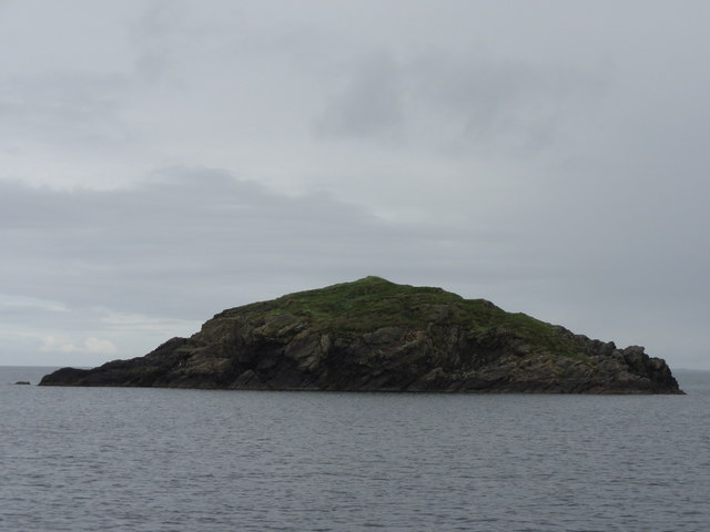
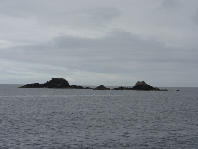
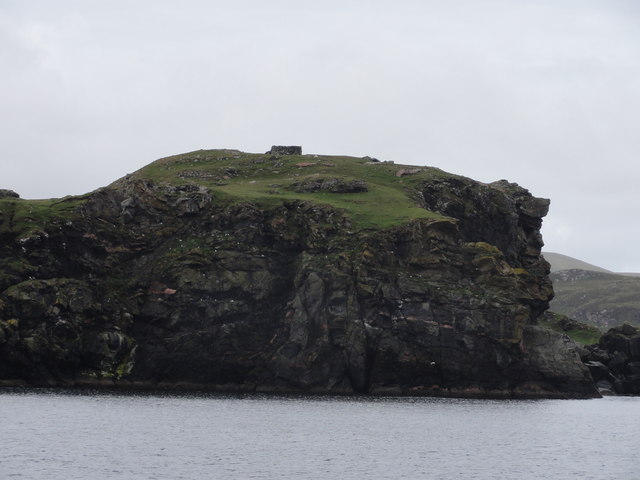
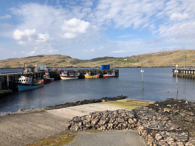
West Burra Firth is a picturesque body of water located in the Shetland Islands, Scotland. It is a sea inlet, also referred to as an estuary or creek, that stretches approximately 6 kilometers in length. The firth is nestled between the islands of West Burra and East Burra, creating a stunning natural landscape.

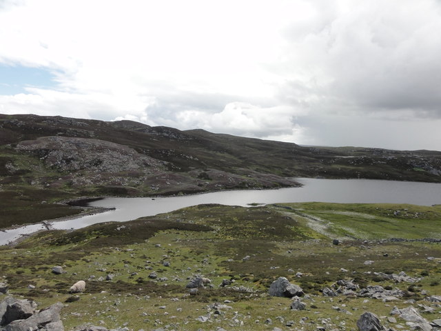
The waters of West Burra Firth are influenced by the Atlantic Ocean, resulting in a mix of saltwater and freshwater that supports a diverse range of marine life. The area is known for its rich biodiversity, attracting a variety of seabirds, fish, and marine mammals. Common sightings include Atlantic puffins, seals, and dolphins.

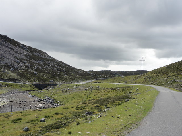
The firth is also a popular spot for outdoor enthusiasts and nature lovers. Its calm and sheltered waters provide an ideal environment for various water-based activities, such as kayaking, sailing, and fishing. The surrounding coastal areas offer breathtaking views and opportunities for hiking and wildlife watching.

West Burra Firth is not only a natural beauty but also holds historical significance. The islands of West Burra and East Burra are home to ancient ruins, including Viking settlements and burial sites. These remnants of the past add an extra layer of intrigue to the already captivating landscape.

Overall, West Burra Firth is a remarkable destination that combines stunning natural beauty, diverse wildlife, and a rich cultural history. Whether one seeks tranquility, adventure, or a glimpse into the past, this firth offers something for everyone to enjoy.

If you have any feedback on the listing, please let us know in the comments section below.

West Burra Firth Images

Images are sourced within 2km of 60.296864/-1.5511516 or Grid Reference HU2457. Thanks to Geograph Open Source API. All images are credited.

Water-lilies in a lochan at West Burrafirth
Longa Water and Modesty, West Burrafirth
Engamoor, West Burrafirth
Broch at West Burra Firth
South-house, West Burrafirth
Papa Stour ferry, MV Snolda, at West Burrafirth pier
Outflow from Sulma Water at Fogrigarth
The head of West Burra Firth
West Burra Firth and Galta Stack
Un-named lochan at Hogan, between West Burrafirth and Snarra Ness
Pappa Stour Ferry Ferry 'Snolda' docked at the pier at West Burrafirth
Pappa Stour Ferry
Ferry 'Snolda' docked at the pier at West Burrafirth
Galta Stack View from the Papa Stour Ferry
Galta Stack
View from the Papa Stour Ferry
Riv Skerries View from the Papa Stour Ferry
Riv Skerries
View from the Papa Stour Ferry
Cliff Face View from Papa Stour Ferry
Cliff Face
View from Papa Stour Ferry
Burn of Fogrigarth Burn of Fogrigarth and road
Burn of Fogrigarth
Burn of Fogrigarth and road
Burn of Fogrigarth Burn of Fogrigarth fed from Sulma Water
Burn of Fogrigarth
Burn of Fogrigarth fed from Sulma Water
Main Road Main road from West Burrafirth
Main Road
Main road from West Burrafirth
West Burrafirth Harbour and Slipway The Papa Stour ferry departs from the pier at the left
West Burrafirth Harbour and Slipway
The Papa Stour ferry departs from the pier at the left
Show me another place!

West Burra Firth is located at Grid Ref: HU2457 (Lat: 60.296864, Lng: -1.5511516)

Unitary Authority: Shetland Islands

Police Authority: Highlands and Islands

What 3 Words

///arranger.magazine.bead. Near Walls, Shetland Islands

Related Wikis

Broch of West Burrafirth

The Broch of West Burrafirth is an Iron Age broch located on the west side of Mainland, Shetland (grid reference HU25625720). == Location == The broch...

Bousta

Bousta is a settlement on Mainland, in Shetland, Scotland. Bousta is situated in the parish of Walls and Sandness.Scott's Hawkweed is native to the pastures...

Brindister, West Mainland

Brindister is a settlement on the West Mainland of Shetland, Scotland. It is within the parish of Sandsting, and on the western shore of Brindister Voe...

Scord of Brouster

The Scord of Brouster is one of the earliest Neolithic farm sites in Shetland, Scotland. It has been dated to 2220 BC with a time window of 80 years on...

Nearby Amenities

Located within 500m of 60.296864,-1.5511516
Barrier: cattle_grid
Lat/Long: 60.2946643/-1.5483626
Seamark Light 1 Category: directional
Seamark Light 1 Character: Oc
Seamark Light 1 Colour: green
Seamark Light 1 Exhibition: 24h
Seamark Light 1 Height: 27
Seamark Light 1 Orientation: 139
Seamark Light 1 Period: 8
Seamark Light 1 Range: 7
Seamark Light 2 Category: directional
Seamark Light 2 Character: Oc
Seamark Light 2 Colour: white
Seamark Light 2 Exhibition: 24h
Seamark Light 2 Height: 27
Seamark Light 2 Orientation: 146
Seamark Light 2 Period: 8
Seamark Light 2 Range: 9
Seamark Light 3 Category: directional
Seamark Light 3 Character: Oc
Seamark Light 3 Colour: red
Seamark Light 3 Exhibition: 24h
Seamark Light 3 Height: 27
Seamark Light 3 Orientation: 153
Seamark Light 3 Period: 8
Seamark Light 3 Range: 7
Seamark Light Reference: A 3844.9
Seamark Type: light_minor
Source: US NGA Pub. 114. 2011-05-26.
Lat/Long: 60.29675/-1.5597167
Power: pole
Lat/Long: 60.2936073/-1.5558621
Power: pole
Lat/Long: 60.2936645/-1.5546068
Power: pole
Lat/Long: 60.2937123/-1.5538853
Barrier: cattle_grid
Lat/Long: 60.2933766/-1.5558008
Power: pole
Lat/Long: 60.2935699/-1.5566786
Power: pole
Lat/Long: 60.2937966/-1.5524754
Power: pole
Lat/Long: 60.2938951/-1.5510844
Power: pole
Lat/Long: 60.2939786/-1.5497927
Power: pole
Lat/Long: 60.294068/-1.548501
Power: pole
Lat/Long: 60.294155/-1.5472162
Power: pole
Lat/Long: 60.2942409/-1.5458876
Power: pole
Lat/Long: 60.294329/-1.5446213
Power: pole
Lat/Long: 60.2944664/-1.543697
The data included in this document is from www.openstreetmap.org. The data is made available under ODbL.

Have you been to West Burra Firth?

Leave your review of West Burra Firth below (or comments, questions and feedback).