The Hopper
Sea, Estuary, Creek in Northumberland
England
The Hopper
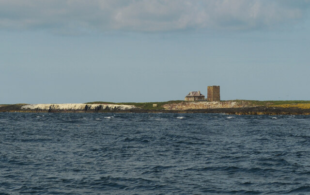
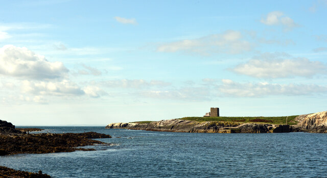
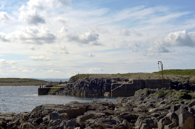
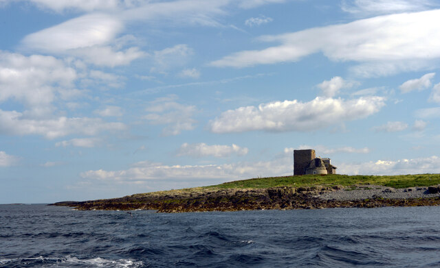
The Hopper is a picturesque coastal area located in Northumberland, a county in the northeast of England. It is renowned for its stunning views of the sea, estuary, and creek, making it a popular destination for nature enthusiasts and photographers.
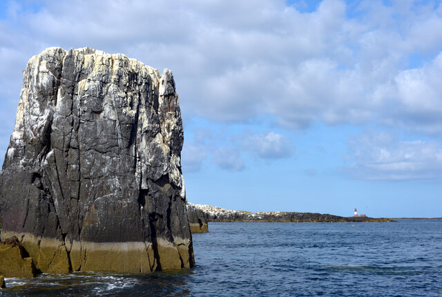
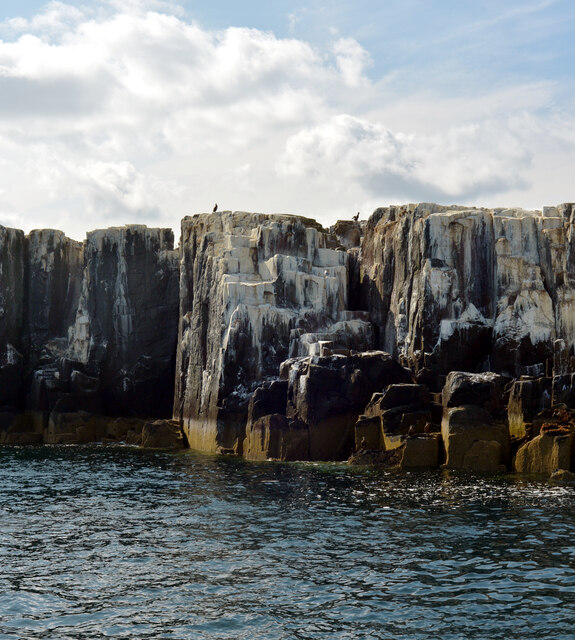
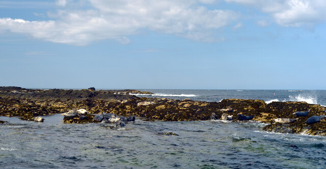
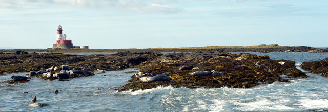
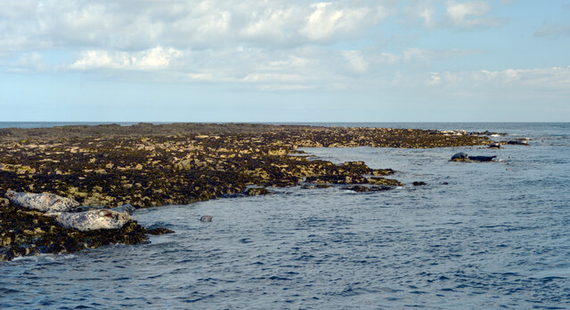
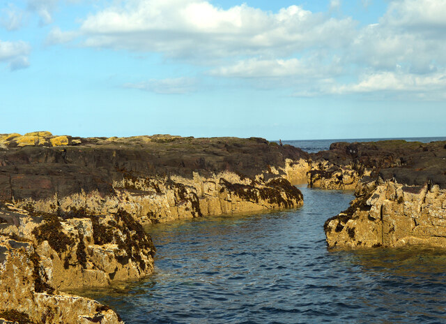
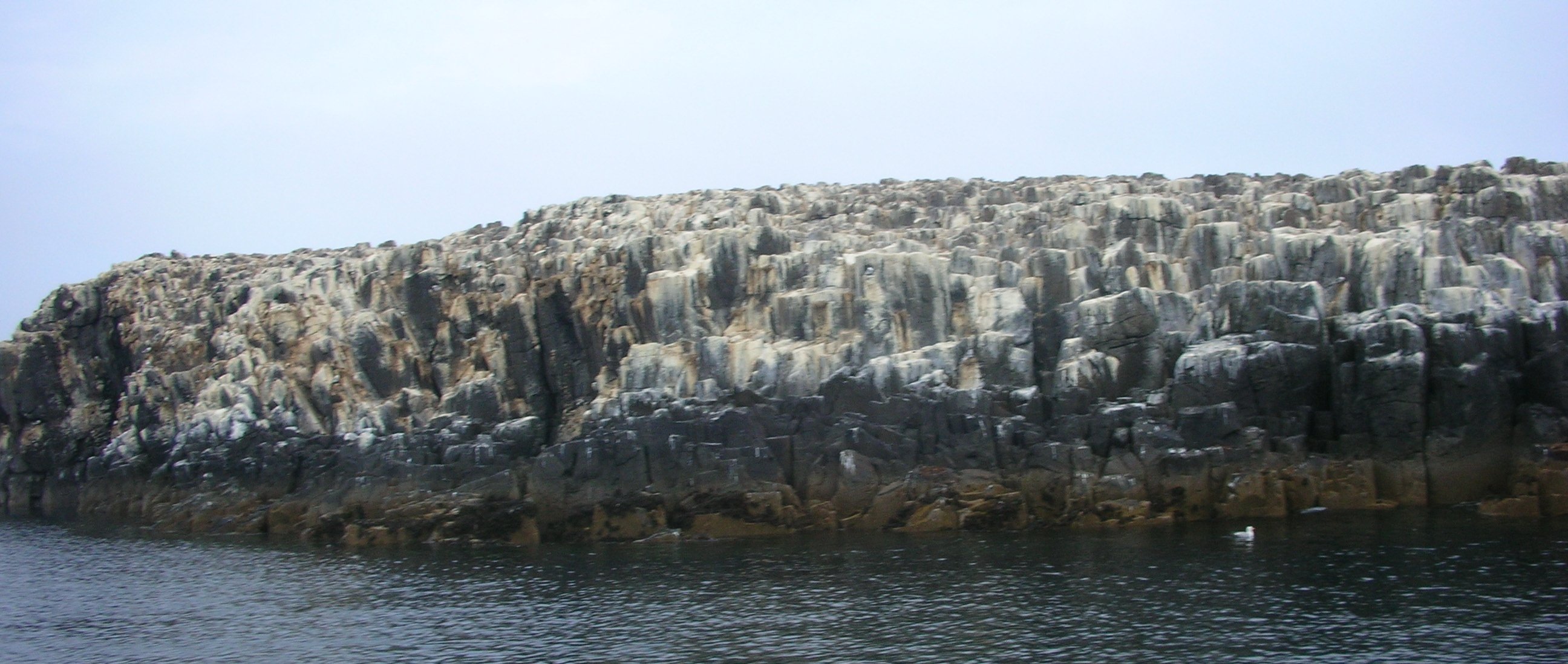
Situated on the North Sea coast, The Hopper offers a rugged and windswept coastline that is characteristic of the region. The crashing waves and dramatic cliffs provide a captivating backdrop for visitors, who can enjoy long walks along the sandy beaches or explore the numerous rock pools at low tide.
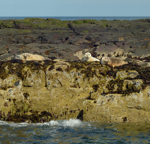
The area is also home to an estuary, where a river meets the sea. This creates a unique ecosystem, attracting a wide variety of bird species and wildlife. Birdwatchers can spot waders, ducks, and other seabirds as they flock to the estuary, creating a spectacle of nature.
In addition to the estuary, The Hopper boasts a tranquil creek. This secluded waterway is surrounded by lush vegetation and offers a peaceful retreat for those seeking solitude. Visitors can take a leisurely boat ride along the creek, admiring the natural beauty and perhaps catching a glimpse of otters or other elusive creatures.
The Hopper is a place of natural beauty and tranquility, offering a diverse range of landscapes. Whether it's the crashing waves of the sea, the vibrant ecosystem of the estuary, or the peacefulness of the creek, this coastal area in Northumberland is a haven for nature lovers and an ideal destination for those seeking a peaceful retreat by the water.
If you have any feedback on the listing, please let us know in the comments section below.
The Hopper Images
Images are sourced within 2km of 55.643647/-1.6037684 or Grid Reference NU2538. Thanks to Geograph Open Source API. All images are credited.

The Hopper is located at Grid Ref: NU2538 (Lat: 55.643647, Lng: -1.6037684)
Unitary Authority: Northumberland
Police Authority: Northumbria
What 3 Words
///conjured.lifts.urgent. Near Seahouses, Northumberland
Nearby Locations
Related Wikis

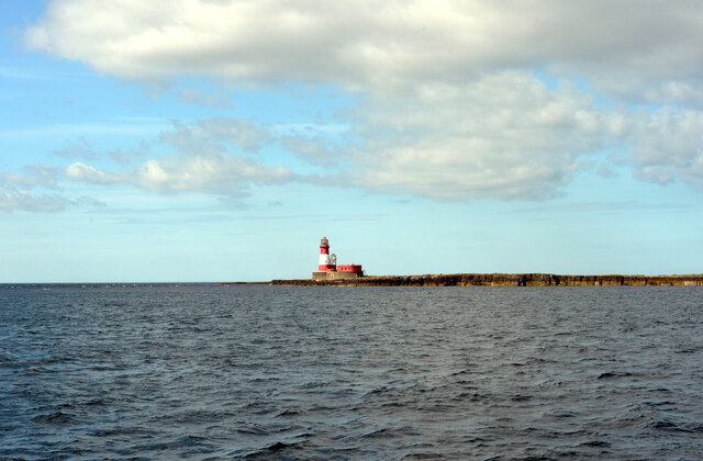
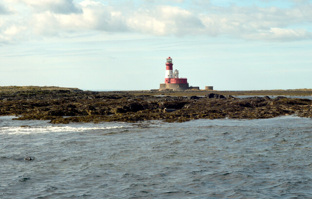
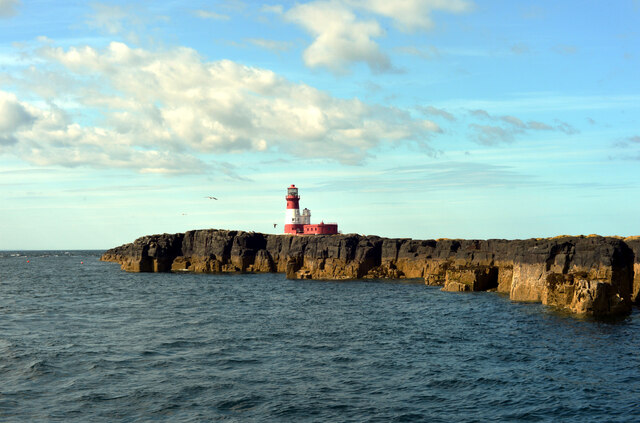
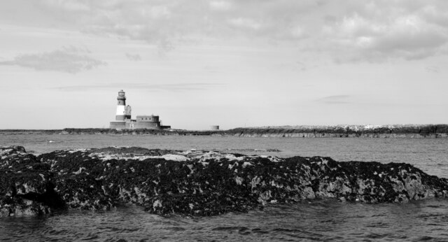
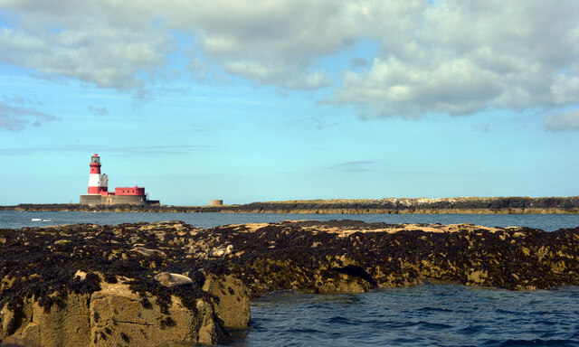
Longstone Lighthouse
Longstone Lighthouse is an active 19th century lighthouse located on Longstone Rock in the outer group of the Farne Islands off the Northumberland Coast...

Forfarshire (ship)
Forfarshire was a paddle steamer with brigantine rigging, built in Dundee in 1834, and which struck and later foundered on one of the Farne Islands on...
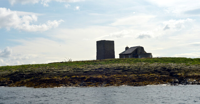
Staple Island
Staple Island is a small rocky island, or skerry, that is one of the Outer Group of the Farne Islands in Northumberland, England. The Farne Islands are...

SS Abessinia (1900)
SS Abessinia, a German cargo ship, was built in 1900, by Palmers Shipbuilding & Iron Co. of Newcastle. Constructed of steel and measuring 137.6m x 15...
Nearby Amenities
Located within 500m of 55.643647,-1.6037684Have you been to The Hopper?
Leave your review of The Hopper below (or comments, questions and feedback).