Geo of Lang-tae

Coastal Feature, Headland, Point in Shetland

Scotland

Geo of Lang-tae

Engamoor, West Burrafirth
Engamoor, West Burrafirth Credit: Mike Pennington

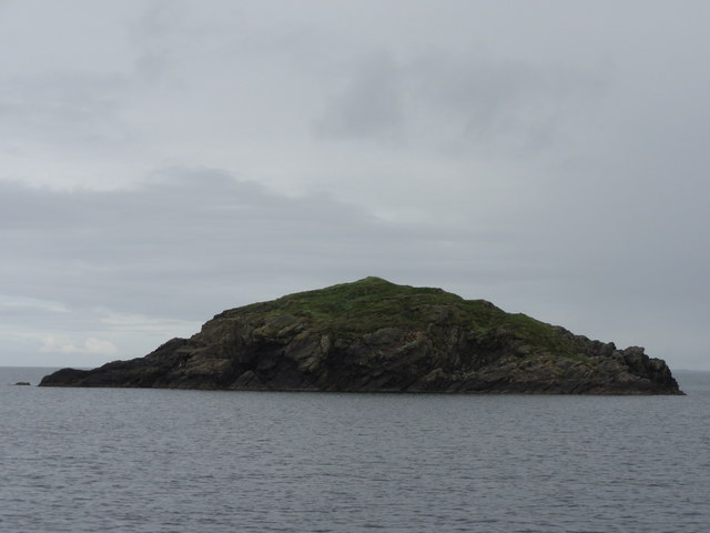
Geo of Lang-tae is a prominent coastal feature located in the Shetland Islands, an archipelago in Scotland, United Kingdom. This natural formation is specifically categorized as a headland or point due to its unique geographical characteristics.

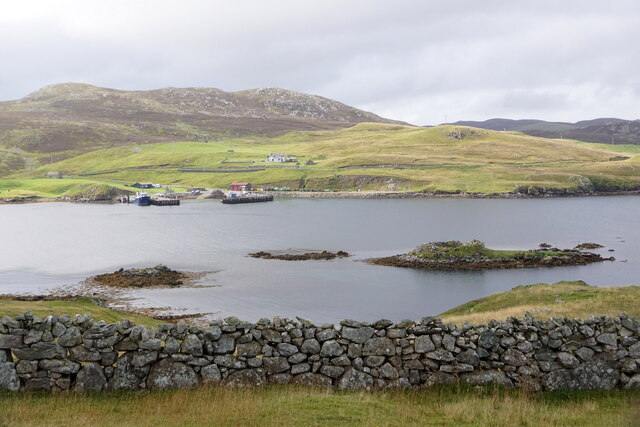
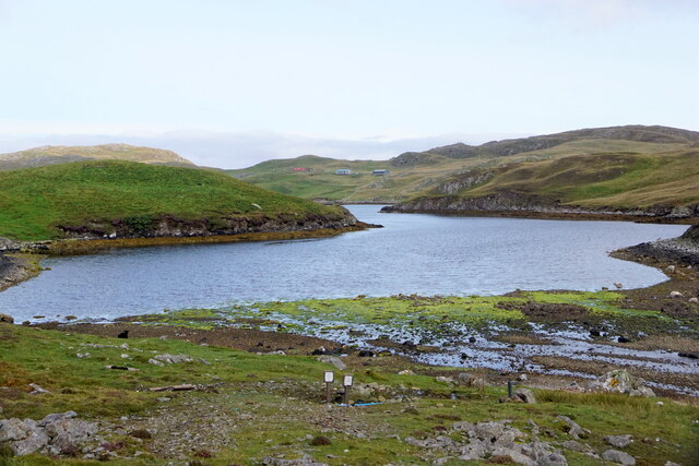
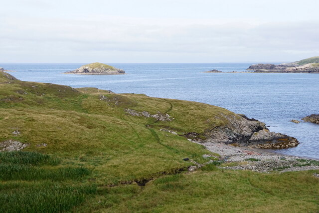
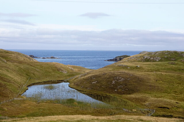
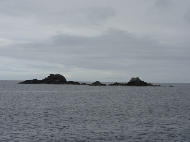
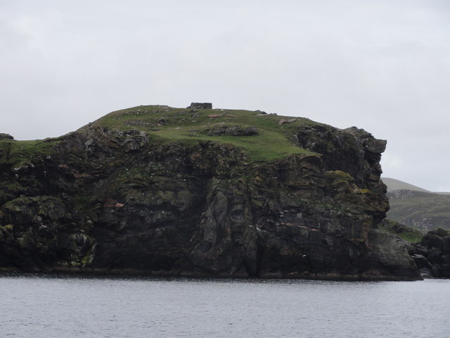
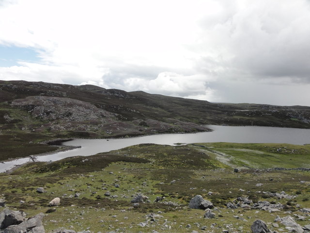
Situated on the east coast of the mainland, Geo of Lang-tae is known for its stunning cliffs that rise dramatically above the North Sea. These cliffs are predominantly composed of sedimentary rock formations, showcasing layers of shale and sandstone that have been eroded over centuries by the relentless force of the ocean waves. The result is a rugged and picturesque landscape that attracts visitors from near and far.

At the top of the cliffs, there is a grassy plateau, offering panoramic views of the surrounding coastline and the vast expanse of the sea. This vantage point is a popular spot for hikers and nature enthusiasts who wish to appreciate the unspoiled beauty of the Shetland Islands.

The Geo of Lang-tae is also home to a diverse range of flora and fauna, with seabirds nesting along the cliffs and seals often seen basking on the rocks below. The surrounding waters are teeming with marine life, including various species of fish and crustaceans.

Due to its exposed location and the powerful waves crashing against its base, caution is advised when exploring the Geo of Lang-tae. Visitors are urged to stay away from the cliff edges and to be aware of changing tide conditions.

In summary, Geo of Lang-tae is a breathtaking headland or point on the east coast of the Shetland Islands. Its towering cliffs, stunning views, and abundant wildlife make it a must-visit destination for nature lovers and adventurers alike.

If you have any feedback on the listing, please let us know in the comments section below.

Geo of Lang-tae Images

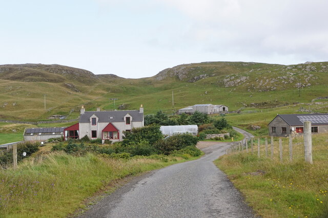
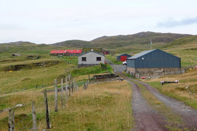
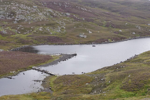
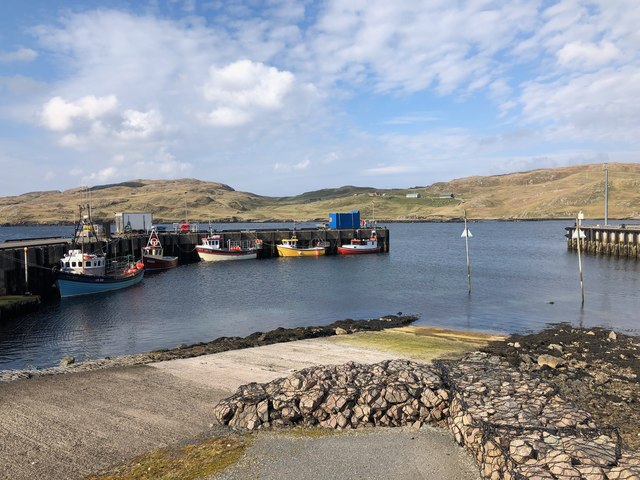
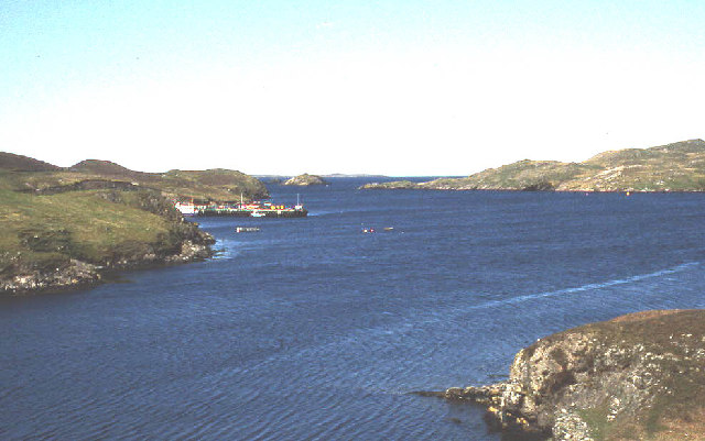
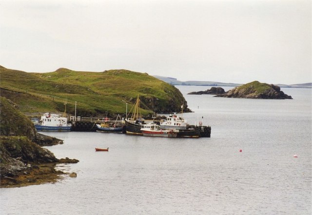
Images are sourced within 2km of 60.296458/-1.5557702 or Grid Reference HU2457. Thanks to Geograph Open Source API. All images are credited.

Engamoor, West Burrafirth
Broch at West Burra Firth
South-house, West Burrafirth
Papa Stour ferry, MV Snolda, at West Burrafirth pier
Outflow from Sulma Water at Fogrigarth
The head of West Burra Firth
West Burra Firth and Galta Stack
Un-named lochan at Hogan, between West Burrafirth and Snarra Ness
Pappa Stour Ferry Ferry 'Snolda' docked at the pier at West Burrafirth
Pappa Stour Ferry
Ferry 'Snolda' docked at the pier at West Burrafirth
Galta Stack View from the Papa Stour Ferry
Galta Stack
View from the Papa Stour Ferry
Riv Skerries View from the Papa Stour Ferry
Riv Skerries
View from the Papa Stour Ferry
Cliff Face View from Papa Stour Ferry
Cliff Face
View from Papa Stour Ferry
Burn of Fogrigarth Burn of Fogrigarth and road
Burn of Fogrigarth
Burn of Fogrigarth and road
Burn of Fogrigarth Burn of Fogrigarth fed from Sulma Water
Burn of Fogrigarth
Burn of Fogrigarth fed from Sulma Water
West Burrafirth Harbour and Slipway The Papa Stour ferry departs from the pier at the left
West Burrafirth Harbour and Slipway
The Papa Stour ferry departs from the pier at the left
West Burra Firth
West Burra Firth
Snaraness View of derelict house at Snaraness from approach road
Snaraness
View of derelict house at Snaraness from approach road
Pier at West Burrafirth
Show me another place!

Geo of Lang-tae is located at Grid Ref: HU2457 (Lat: 60.296458, Lng: -1.5557702)

Unitary Authority: Shetland Islands

Police Authority: Highlands and Islands

What 3 Words

///forge.jubilant.tape. Near Walls, Shetland Islands

Related Wikis

Broch of West Burrafirth

The Broch of West Burrafirth is an Iron Age broch located on the west side of Mainland, Shetland (grid reference HU25625720). == Location == The broch...

Bousta

Bousta is a settlement on Mainland, in Shetland, Scotland. Bousta is situated in the parish of Walls and Sandness.Scott's Hawkweed is native to the pastures...

Brindister, West Mainland

Brindister is a settlement on the West Mainland of Shetland, Scotland. It is within the parish of Sandsting, and on the western shore of Brindister Voe...

Sandness

Sandness (the "d" is not pronounced locally) is a headland and district in the west of Shetland Mainland, Scotland. Sandness was a civil parish, which...

Nearby Amenities

Located within 500m of 60.296458,-1.5557702
Barrier: cattle_grid
Lat/Long: 60.2946643/-1.5483626
Seamark Light 1 Category: directional
Seamark Light 1 Character: Oc
Seamark Light 1 Colour: green
Seamark Light 1 Exhibition: 24h
Seamark Light 1 Height: 27
Seamark Light 1 Orientation: 139
Seamark Light 1 Period: 8
Seamark Light 1 Range: 7
Seamark Light 2 Category: directional
Seamark Light 2 Character: Oc
Seamark Light 2 Colour: white
Seamark Light 2 Exhibition: 24h
Seamark Light 2 Height: 27
Seamark Light 2 Orientation: 146
Seamark Light 2 Period: 8
Seamark Light 2 Range: 9
Seamark Light 3 Category: directional
Seamark Light 3 Character: Oc
Seamark Light 3 Colour: red
Seamark Light 3 Exhibition: 24h
Seamark Light 3 Height: 27
Seamark Light 3 Orientation: 153
Seamark Light 3 Period: 8
Seamark Light 3 Range: 7
Seamark Light Reference: A 3844.9
Seamark Type: light_minor
Source: US NGA Pub. 114. 2011-05-26.
Lat/Long: 60.29675/-1.5597167
Power: pole
Lat/Long: 60.2936073/-1.5558621
Power: pole
Lat/Long: 60.2936645/-1.5546068
Power: pole
Lat/Long: 60.2937123/-1.5538853
Barrier: cattle_grid
Lat/Long: 60.2933766/-1.5558008
Power: pole
Lat/Long: 60.2932744/-1.5618707
Power: pole
Lat/Long: 60.2933225/-1.5609418
Power: pole
Lat/Long: 60.2933775/-1.5601331
Power: pole
Lat/Long: 60.2934359/-1.5589731
Power: pole
Lat/Long: 60.2935034/-1.5578039
Power: pole
Lat/Long: 60.2935699/-1.5566786
Power: pole
Lat/Long: 60.2937966/-1.5524754
Power: pole
Lat/Long: 60.2938951/-1.5510844
Power: pole
Lat/Long: 60.2939786/-1.5497927
Power: pole
Lat/Long: 60.294068/-1.548501
The data included in this document is from www.openstreetmap.org. The data is made available under ODbL.

Have you been to Geo of Lang-tae?

Leave your review of Geo of Lang-tae below (or comments, questions and feedback).