Galta Stack
Island in Shetland
Scotland
Galta Stack
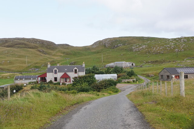
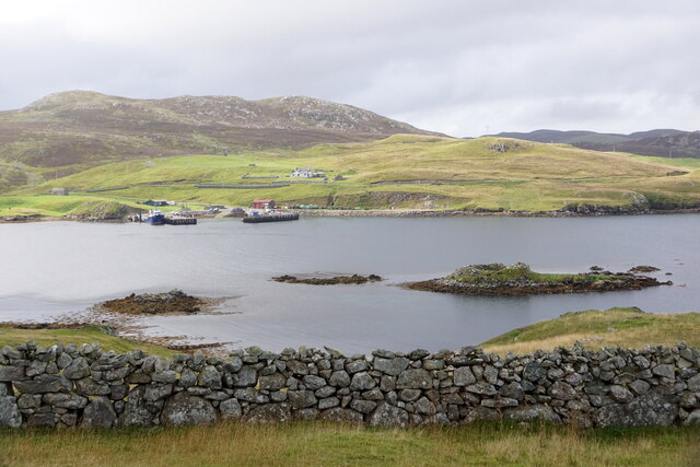
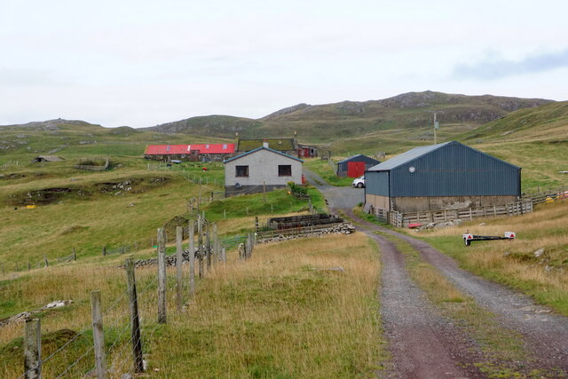
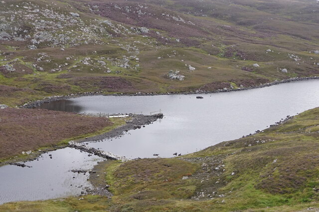
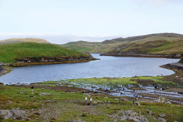
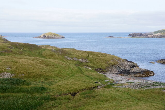
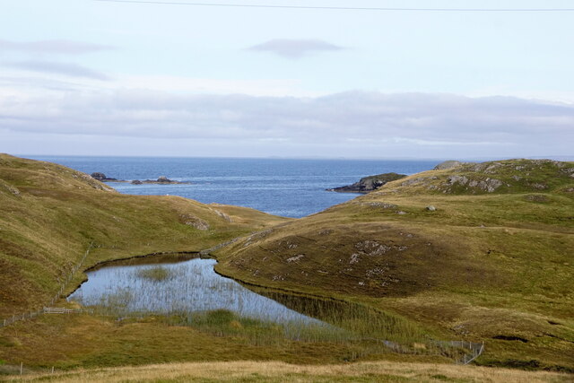
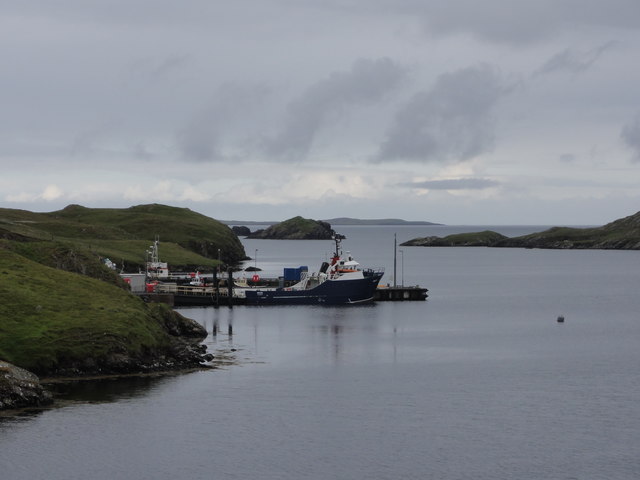
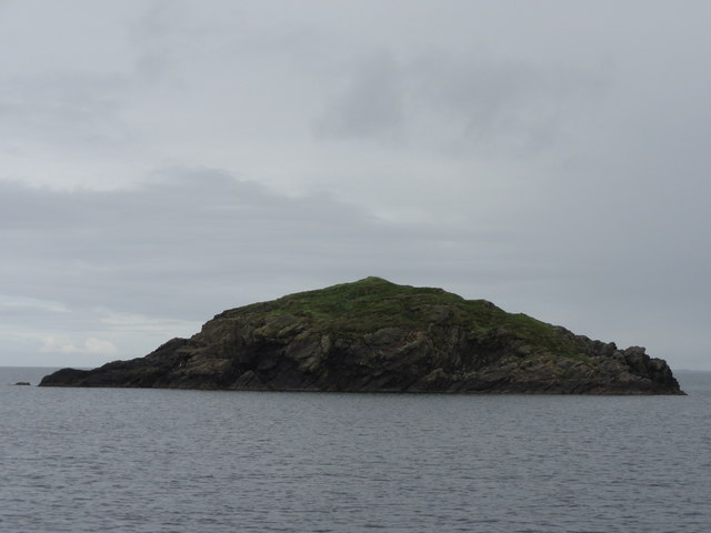
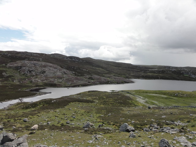
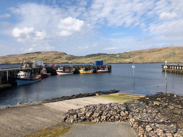
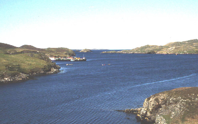
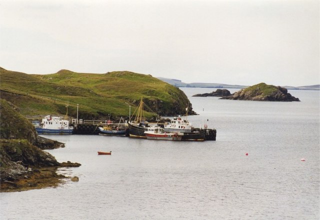
Galta Stack is a prominent natural feature located off the coast of the Shetland Islands, an archipelago in Scotland. Situated in the North Atlantic Ocean, Galta Stack is a tall, vertical sea stack that rises dramatically from the surrounding sea. It is located near the village of Walls, on the west side of the Shetland mainland.
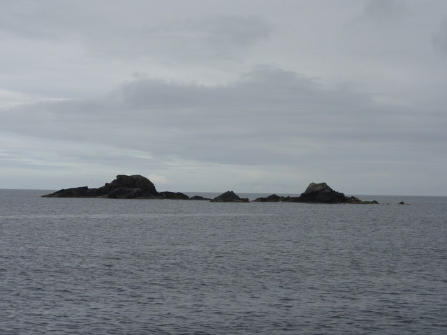
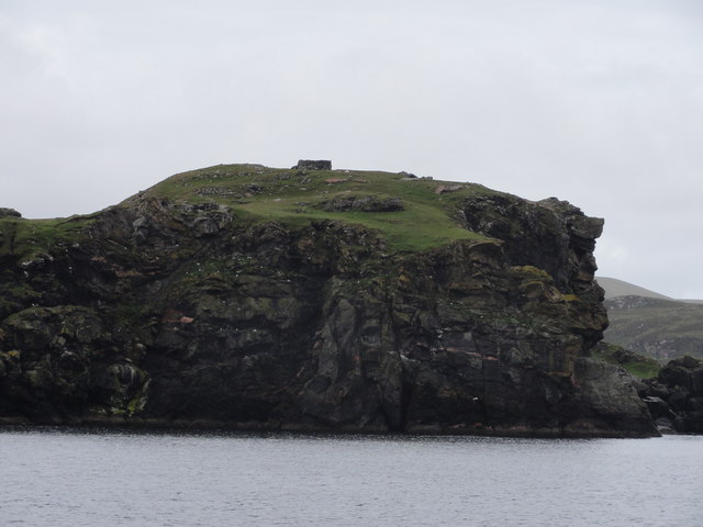
The stack itself is composed of rugged, weathered sandstone, which has been shaped over thousands of years by the relentless forces of wind and waves. It stands at an impressive height of approximately 43 meters (141 feet) and is a striking sight against the backdrop of the open ocean. The base of Galta Stack is surrounded by rocky shores and is only accessible by boat or during low tide.
Galta Stack is known for its abundant birdlife, serving as an important nesting site for various seabird species. Visitors to the area may be lucky enough to spot colonies of guillemots, razorbills, and puffins, among other birds. The surrounding waters are also home to a diverse range of marine life, making it a popular spot for divers and snorkelers.
Due to its remote location and rugged beauty, Galta Stack has become a popular destination for nature enthusiasts and photographers. The stunning sea stack offers breathtaking views and serves as a reminder of the power and beauty of nature. It stands as a testament to the forces that have shaped the Shetland Islands over millions of years and continues to captivate visitors with its unique charm.
If you have any feedback on the listing, please let us know in the comments section below.
Galta Stack Images
Images are sourced within 2km of 60.300671/-1.5563643 or Grid Reference HU2457. Thanks to Geograph Open Source API. All images are credited.


Galta Stack is located at Grid Ref: HU2457 (Lat: 60.300671, Lng: -1.5563643)
Unitary Authority: Shetland Islands
Police Authority: Highlands and Islands
What 3 Words
///uniforms.history.wheat. Near Walls, Shetland Islands
Nearby Locations
Related Wikis

Broch of West Burrafirth
The Broch of West Burrafirth is an Iron Age broch located on the west side of Mainland, Shetland (grid reference HU25625720). == Location == The broch...

Bousta
Bousta is a settlement on Mainland, in Shetland, Scotland. Bousta is situated in the parish of Walls and Sandness.Scott's Hawkweed is native to the pastures...

Brindister, West Mainland
Brindister is a settlement on the West Mainland of Shetland, Scotland. It is within the parish of Sandsting, and on the western shore of Brindister Voe...

Sandness
Sandness (the "d" is not pronounced locally) is a headland and district in the west of Shetland Mainland, Scotland. Sandness was a civil parish, which...
Nearby Amenities
Located within 500m of 60.300671,-1.5563643Have you been to Galta Stack?
Leave your review of Galta Stack below (or comments, questions and feedback).