Fish Carr
Island in Northumberland
England
Fish Carr

Fish Carr is a small island located off the coast of Northumberland, England. Situated in the North Sea, it is part of the Farne Islands group, renowned for their rich wildlife and picturesque landscapes. Covering an area of approximately 1.5 acres, Fish Carr is one of the smaller islands in the archipelago.
The island is notable for its diverse bird population, making it a popular destination for birdwatchers and nature enthusiasts alike. Puffins, terns, and guillemots are just a few of the seabird species that can be spotted nesting on the island's rocky cliffs. Additionally, Fish Carr is home to a colony of grey seals, which can often be seen basking on the island's shores.
Access to Fish Carr is restricted to protect the island's fragile ecosystem and minimize human disturbance. Visitors are required to obtain permission from the National Trust, which manages the Farne Islands, before setting foot on the island. This ensures the preservation of the island's natural habitats and the safety of its wildlife.
The island's name, Fish Carr, is believed to have originated from the Old Norse word "kerr," meaning rocky reef or low-lying island. This aptly describes the island's rocky shoreline and its relatively flat landscape. Due to its small size, there are no permanent structures on Fish Carr, making it a truly untouched natural haven.
Overall, Fish Carr is a haven for wildlife enthusiasts, offering a unique opportunity to observe a diverse range of bird and marine species in their natural habitat. Its picturesque scenery and secluded atmosphere make it a must-visit destination for those seeking an authentic nature experience.
If you have any feedback on the listing, please let us know in the comments section below.
Fish Carr Images
Images are sourced within 2km of 55.507626/-1.6119429 or Grid Reference NU2423. Thanks to Geograph Open Source API. All images are credited.


Fish Carr is located at Grid Ref: NU2423 (Lat: 55.507626, Lng: -1.6119429)
Unitary Authority: Northumberland
Police Authority: Northumbria
What 3 Words
///surfacing.seats.kipper. Near Embleton, Northumberland
Nearby Locations
Related Wikis
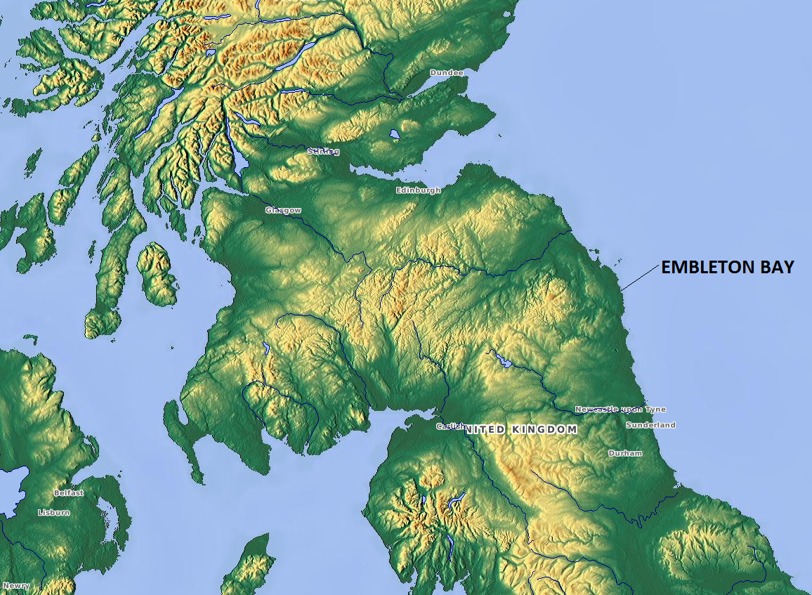
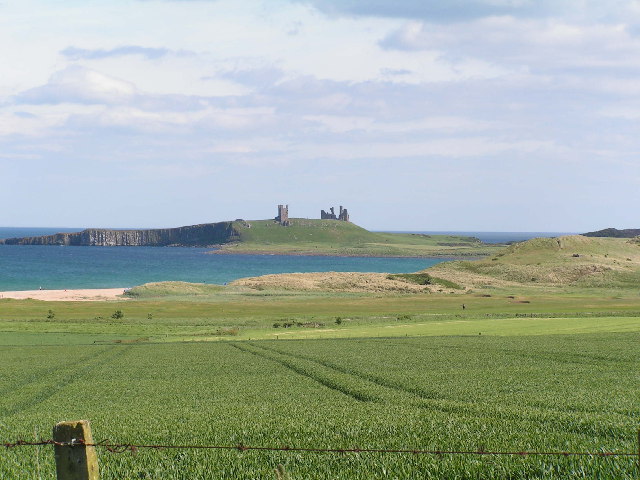
Embleton Bay
Embleton Bay is a bay on the North Sea, located to the east of the village of Embleton, Northumberland, England. It lies just to the south of Newton-by...

Newton-by-the-Sea
Newton-by-the-Sea is a civil parish in the county of Northumberland in Northern England. The parish is about 8 miles northwest of Alnwick, and lies on...

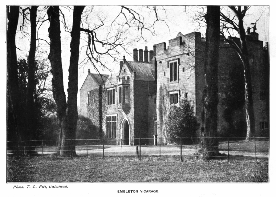
Embleton, Northumberland
Embleton is a village and civil parish in the English county of Northumberland. Besides the village of Embleton itself, the civil parish includes the settlement...
Church of the Holy Trinity, Embleton
The Church of the Holy Trinity is located in Embleton, Northumberland, England. The church, dedicated to the Holy Trinity, is west of the village. Built...
Embleton Tower
Embleton Tower is a peel tower and Grade I listed building in the village of Embleton in Northumberland, England. Tradition states that in 1395, the tower...

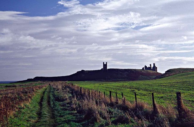
Dunstanburgh Castle
Dunstanburgh Castle is a 14th-century fortification on the coast of Northumberland in northern England, between the villages of Craster and Embleton. The...
Christon Bank
Christon Bank is a small village in Northumberland, England, 9 miles north of the town of Alnwick. Prior to 1847 it was a small farming hamlet, which was...

Christon Bank railway station
Christon Bank railway station served the village of Christon Bank, Northumberland, England from 1847 to 1965 on the East Coast Main Line. == History... ==
Nearby Amenities
Located within 500m of 55.507626,-1.6119429Have you been to Fish Carr?
Leave your review of Fish Carr below (or comments, questions and feedback).