Northern Hares
Island in Northumberland
England
Northern Hares
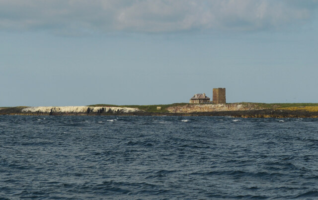
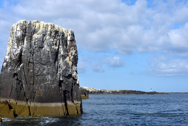
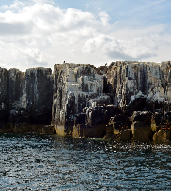
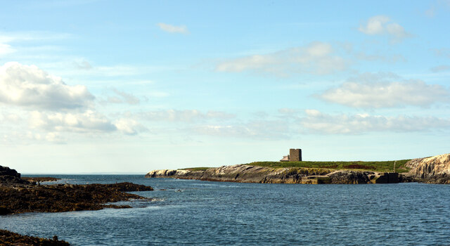
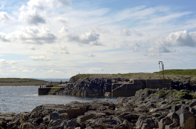
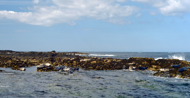
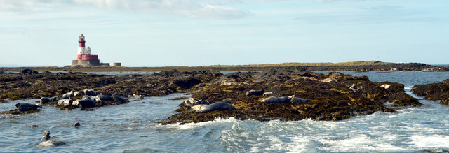
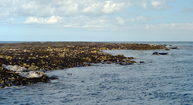
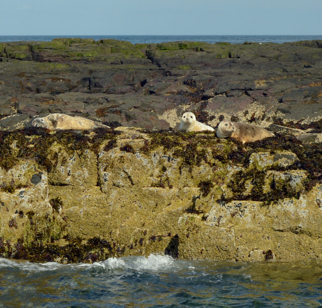
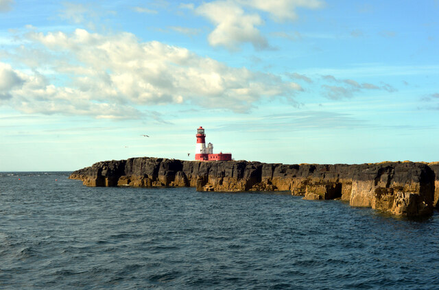
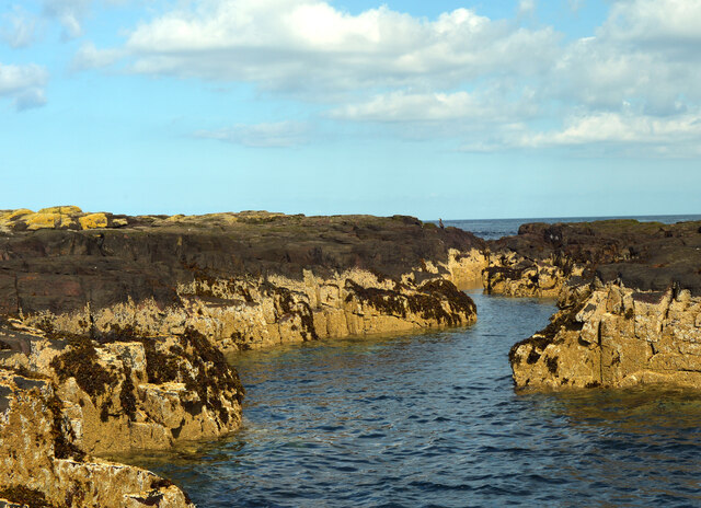
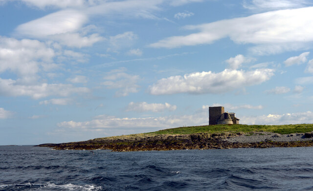
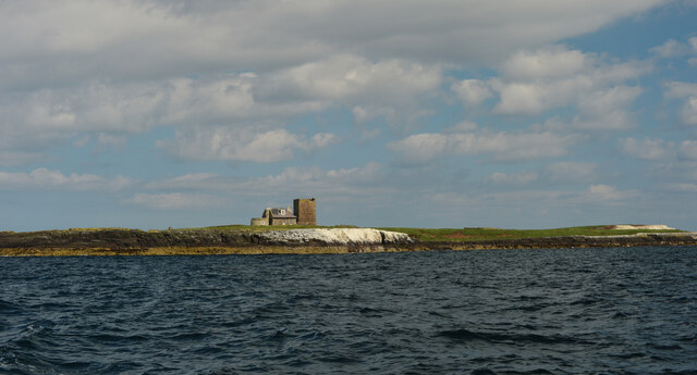
Northern Hares, Northumberland (Island), also known as the Farne Islands, is a group of islands located off the coast of Northumberland, England. Situated approximately 2-4 miles from the mainland, these islands are renowned for their diverse wildlife and stunning natural beauty.
The islands are home to a significant population of Northern Hares, also known as Arctic Hares or Polar Hares. These hares are well-adapted to their harsh Arctic habitat, with their fur changing color from white in winter to brownish-gray in summer, allowing them to blend seamlessly with their surroundings. They have large, strong hind legs built for speed, enabling them to quickly navigate the rocky terrain.
Northern Hares are herbivorous, primarily feeding on grasses, mosses, and other low-lying vegetation found on the islands. They are typically solitary animals, although they may gather in small groups during breeding season. Females give birth to one to six leverets, which are born fully furred and with their eyes open. These leverets are able to hop within hours of birth.
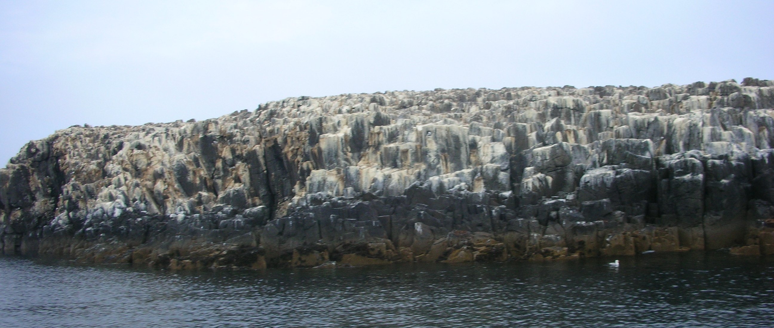
The Farne Islands provide an ideal habitat for Northern Hares, as the absence of natural predators and the abundance of food sources allow for their thriving population. Visitors to the islands can often observe these graceful creatures as they hop and graze in their natural habitat.
In addition to Northern Hares, the Farne Islands are also home to a diverse range of seabirds, including puffins, guillemots, and razorbills. The islands are a designated nature reserve, providing protection to these species and ensuring their conservation for generations to come. The rugged beauty and rich wildlife of Northern Hares, Northumberland (Island) make it a popular destination for nature enthusiasts and wildlife photographers alike.
If you have any feedback on the listing, please let us know in the comments section below.
Northern Hares Images
Images are sourced within 2km of 55.64641/-1.6106681 or Grid Reference NU2439. Thanks to Geograph Open Source API. All images are credited.
Northern Hares is located at Grid Ref: NU2439 (Lat: 55.64641, Lng: -1.6106681)
Unitary Authority: Northumberland
Police Authority: Northumbria
What 3 Words
///remark.gossiped.prom. Near Seahouses, Northumberland
Nearby Locations
Related Wikis

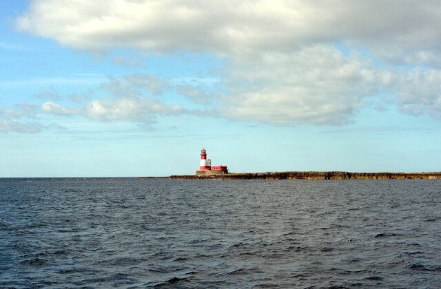
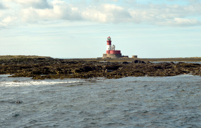
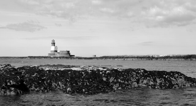
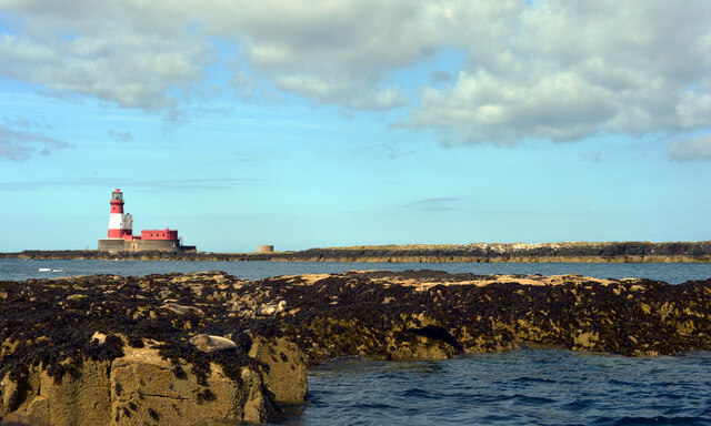
Longstone Lighthouse
Longstone Lighthouse is an active 19th century lighthouse located on Longstone Rock in the outer group of the Farne Islands off the Northumberland Coast...

Forfarshire (ship)
Forfarshire was a paddle steamer with brigantine rigging, built in Dundee in 1834, and which struck and later foundered on one of the Farne Islands on...
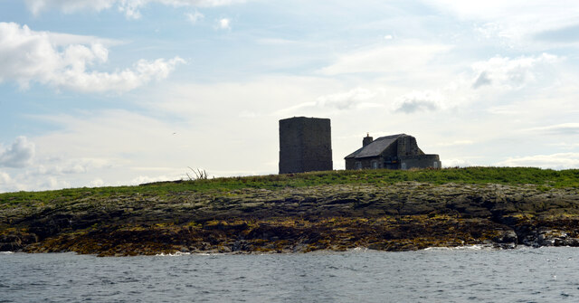
Staple Island
Staple Island is a small rocky island, or skerry, that is one of the Outer Group of the Farne Islands in Northumberland, England. The Farne Islands are...

SS Abessinia (1900)
SS Abessinia, a German cargo ship, was built in 1900, by Palmers Shipbuilding & Iron Co. of Newcastle. Constructed of steel and measuring 137.6m x 15...
Nearby Amenities
Located within 500m of 55.64641,-1.6106681Have you been to Northern Hares?
Leave your review of Northern Hares below (or comments, questions and feedback).