Ceum an Doill
Sea, Estuary, Creek in Inverness-shire
Scotland
Ceum an Doill
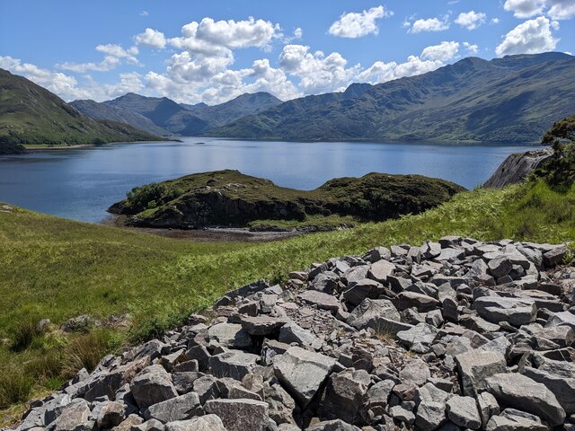
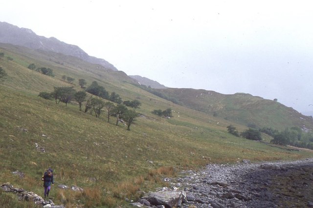
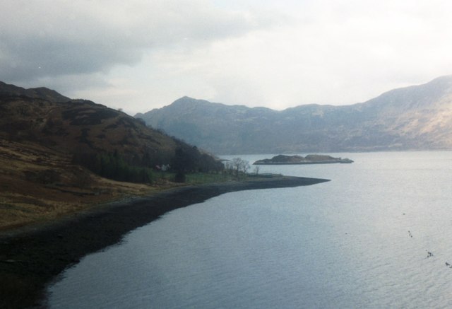
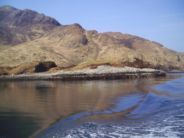
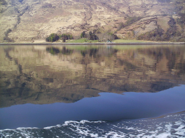
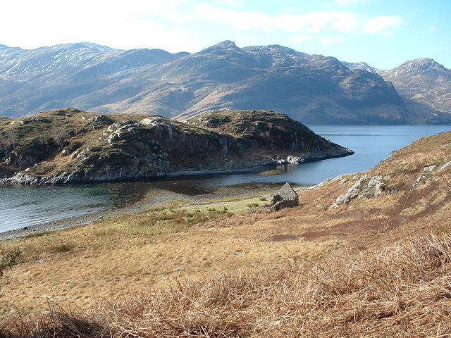
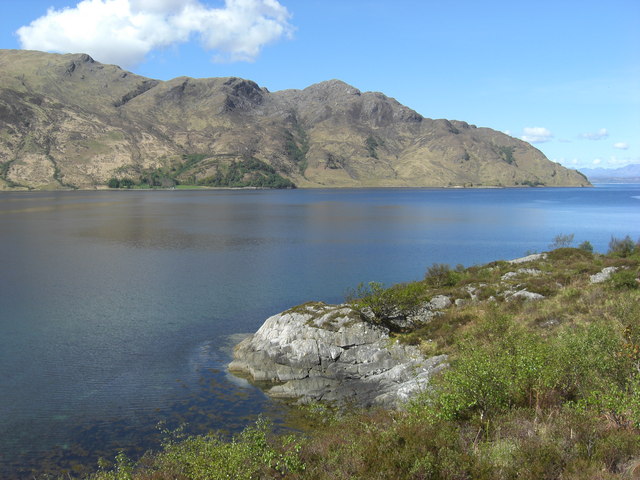
Ceum an Doill is a picturesque sea inlet located in Inverness-shire, Scotland. Nestled amidst breathtaking natural beauty, it is often referred to as a sea, estuary, or creek due to its unique characteristics.
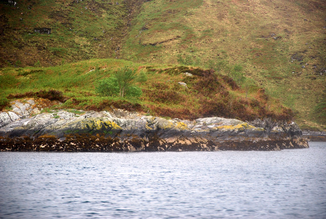
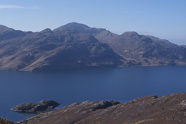
The name "Ceum an Doill" translates to "Blind Step" in English, which aptly describes the landscape surrounding this enchanting location. The inlet is famous for its rugged cliffs, which rise dramatically from the crystal-clear waters. These cliffs provide a picturesque backdrop and offer a haven for a wide variety of seabirds, including gannets, puffins, and guillemots.
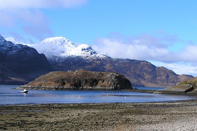
The water in Ceum an Doill is a vibrant shade of blue, often reflecting the sky above, creating a mesmerizing visual spectacle. The area is also known for its tidal variations, which range from tranquil waters during low tide to a powerful surge during high tide. This ebb and flow of the tides create a dynamic environment, attracting an abundance of marine life, such as seals and dolphins.
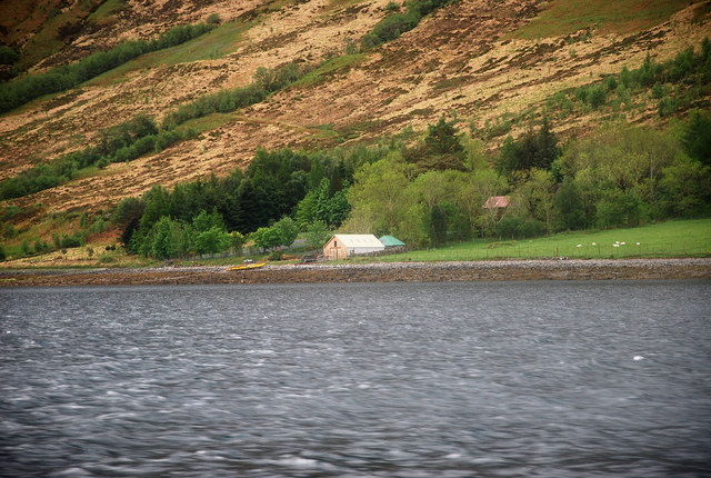
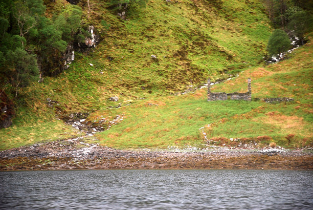
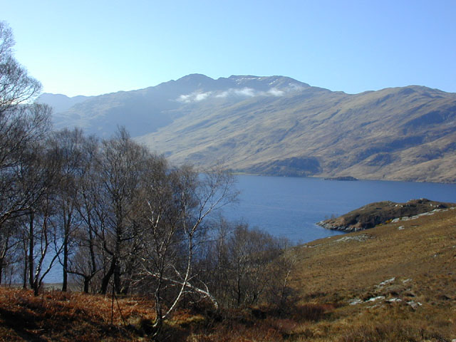
Ceum an Doill is a popular spot for nature enthusiasts and photographers alike. Its beauty and tranquility make it an ideal destination for those seeking solace in nature. Visitors can enjoy scenic walks along the coastline, taking in panoramic views of the surrounding hills and distant mountains. The area also offers opportunities for fishing, boating, and wildlife watching, ensuring there is something for everyone to enjoy.
If you have any feedback on the listing, please let us know in the comments section below.
Ceum an Doill Images
Images are sourced within 2km of 57.117694/-5.5905111 or Grid Reference NG8208. Thanks to Geograph Open Source API. All images are credited.


Ceum an Doill is located at Grid Ref: NG8208 (Lat: 57.117694, Lng: -5.5905111)
Unitary Authority: Highland
Police Authority: Highlands and Islands
What 3 Words
///sling.scrolled.croaking. Near Glenelg, Highland
Related Wikis

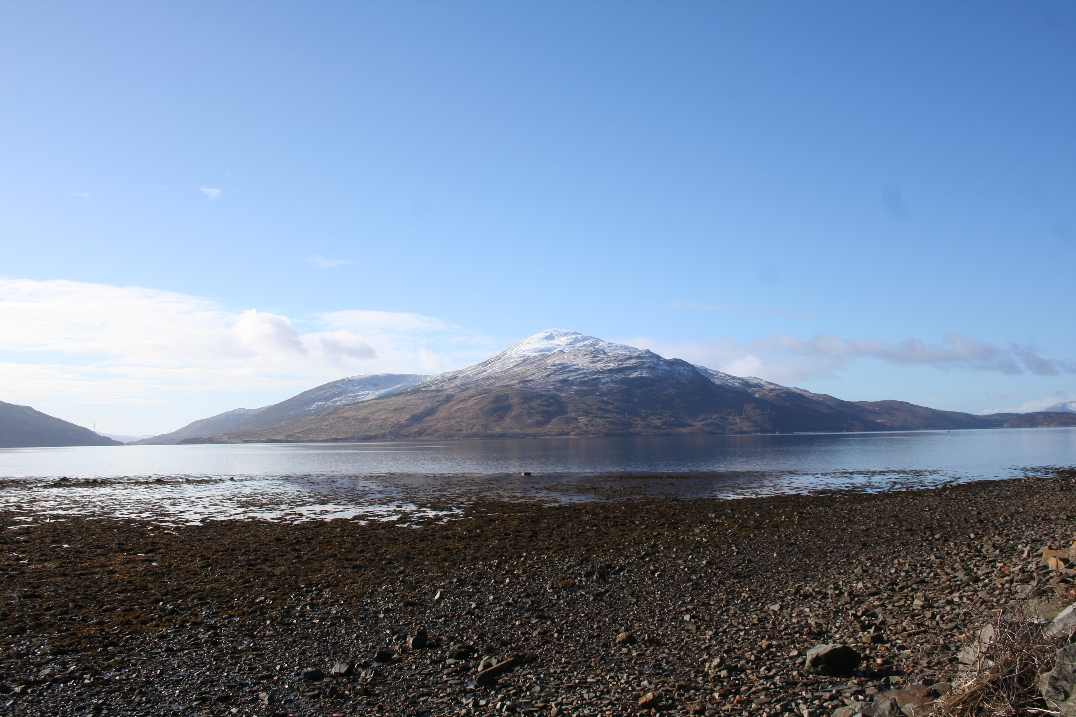
Loch Hourn
Loch Hourn (Scottish Gaelic: Loch Shubhairne) is a sea loch which separates the peninsulas of Glenelg to the north and Knoydart to the south, on the west...

Arnisdale
Arnisdale (Scottish Gaelic: Àrnasdal) is a hamlet in the historic county of Inverness-shire in the local authority area of Highlands of Scotland. It lies...

Arnisdale Free Church
Arnisdale Free Church is a church building at one time connected to the Free Church of Scotland. It is sited in Arnisdale, Inverness-shire, Scotland. According...

Corran, Loch Hourn
Corran (Scottish Gaelic: An Corran) is a hamlet on the northern shore of Loch Hourn, in Lochalsh in Inverness-shire in the Highlands of Scotland. It is...
Beinn na Caillich (Knoydart)
Beinn na Caillich (Scottish Gaelic for 'mountain of the old woman or Cailleach') is a mountain with a height of 732 metres (2,402 ft) in Knoydart, in the...
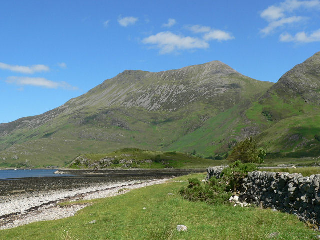
Beinn Sgritheall
Beinn Sgritheall or Beinn an Sgrithill (Scottish Gaelic for 'scree mountain'), also anglicized Ben Sgriol, is the highest mountain on the Glenelg peninsula...

Ladhar Bheinn
Ladhar Bheinn is the highest mountain in the Knoydart region of the Highlands of Scotland. It is the most westerly Munro on the Scottish mainland. The...

Beinn nan Caorach
Beinn nan Caorach (774 m) is a mountain in the Northwest Highlands of Scotland, It is located near the village of Corran in Lochalsh. One of the smaller...
Nearby Amenities
Located within 500m of 57.117694,-5.5905111Have you been to Ceum an Doill?
Leave your review of Ceum an Doill below (or comments, questions and feedback).