Creag an Fhithich
Cliff, Slope in Inverness-shire
Scotland
Creag an Fhithich
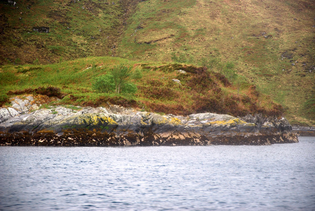
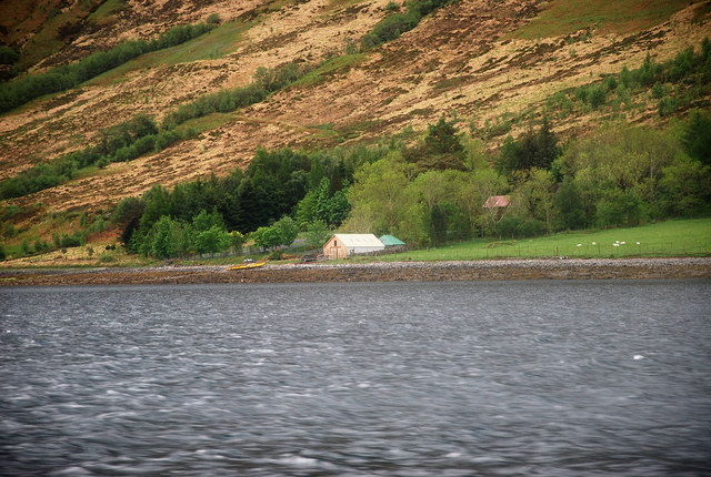
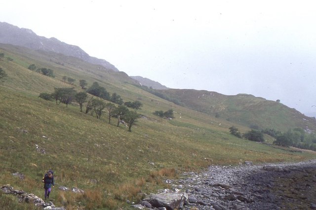
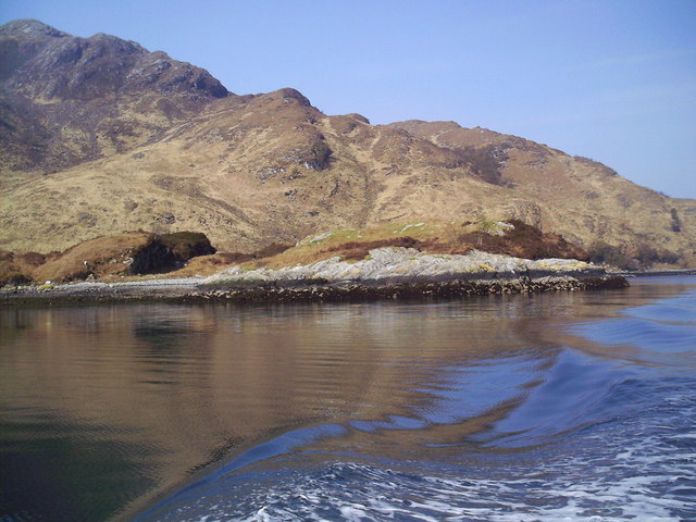
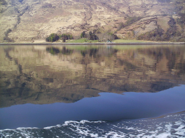
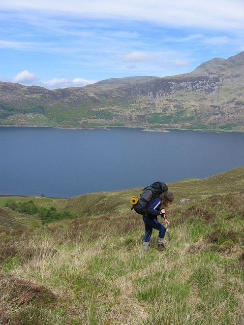
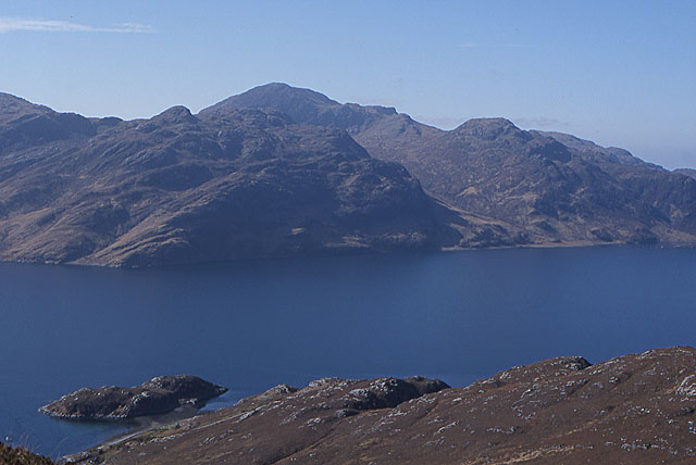
Creag an Fhithich is a prominent cliff located in Inverness-shire, Scotland. It is situated near the village of Daviot and overlooks the River Findhorn. The cliff is known for its steep slope and rugged terrain, making it a popular destination for hikers and rock climbers.
Creag an Fhithich is composed of ancient sandstone and offers stunning views of the surrounding countryside. The cliff is approximately 200 meters high and features a series of challenging rock faces that attract experienced climbers from around the world.
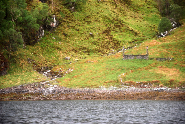
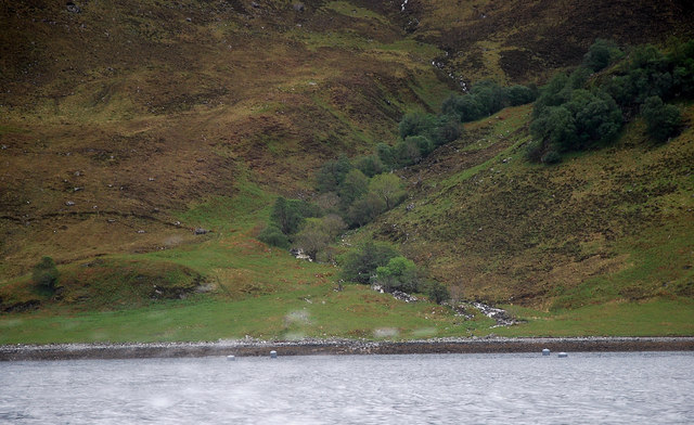
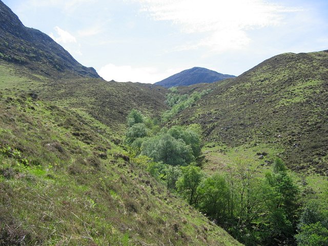
The area surrounding Creag an Fhithich is rich in wildlife, with numerous species of birds, mammals, and plants calling the cliff home. Peregrine falcons are known to nest in the crags of the cliff, adding to its appeal for birdwatchers and nature enthusiasts.
Visitors to Creag an Fhithich can enjoy hiking along the rugged slopes, taking in the breathtaking views of the River Findhorn valley below. The cliff is easily accessible by car and offers parking facilities at the base for those looking to explore its natural beauty.
If you have any feedback on the listing, please let us know in the comments section below.
Creag an Fhithich Images
Images are sourced within 2km of 57.118035/-5.5964772 or Grid Reference NG8208. Thanks to Geograph Open Source API. All images are credited.


Creag an Fhithich is located at Grid Ref: NG8208 (Lat: 57.118035, Lng: -5.5964772)
Unitary Authority: Highland
Police Authority: Highlands and Islands
What 3 Words
///startles.blocking.rents. Near Glenelg, Highland
Related Wikis

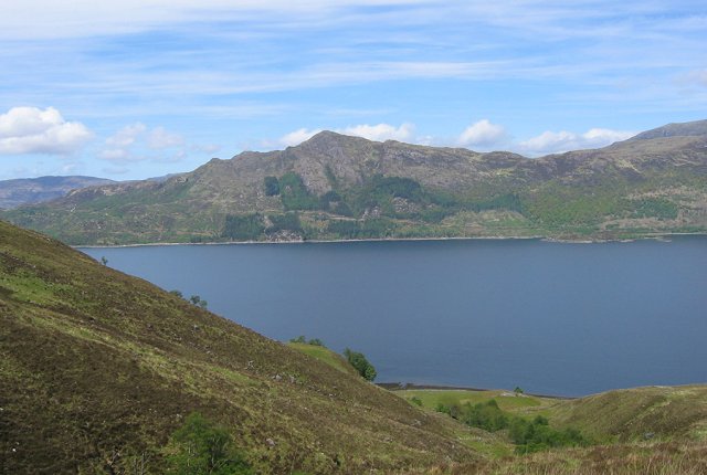
Loch Hourn
Loch Hourn (Scottish Gaelic: Loch Shubhairne) is a sea loch which separates the peninsulas of Glenelg to the north and Knoydart to the south, on the west...

Arnisdale
Arnisdale (Scottish Gaelic: Àrnasdal) is a hamlet in the historic county of Inverness-shire in the local authority area of Highlands of Scotland. It lies...

Arnisdale Free Church
Arnisdale Free Church is a church building at one time connected to the Free Church of Scotland. It is sited in Arnisdale, Inverness-shire, Scotland. According...

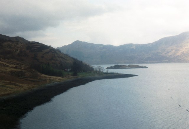
Corran, Loch Hourn
Corran (Scottish Gaelic: An Corran) is a hamlet on the northern shore of Loch Hourn, in Lochalsh in Inverness-shire in the Highlands of Scotland. It is...
Nearby Amenities
Located within 500m of 57.118035,-5.5964772Have you been to Creag an Fhithich?
Leave your review of Creag an Fhithich below (or comments, questions and feedback).