Coirein na Leacainn
Corrie (Glacial Valley) in Inverness-shire
Scotland
Coirein na Leacainn
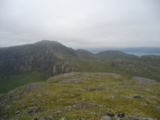
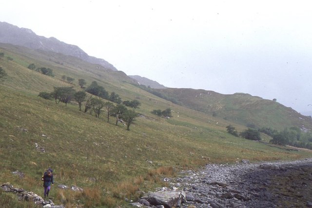
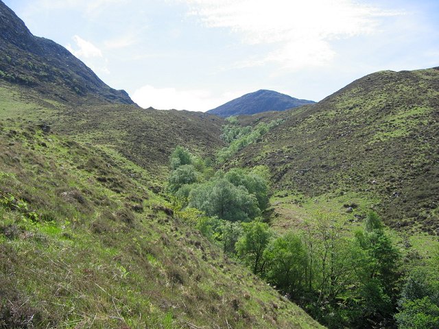
Coirein na Leacainn, also known as Corrie, is a glacial valley located in Inverness-shire, Scotland. It is situated in the Western Highlands, near the village of Spean Bridge. The valley is surrounded by towering mountains and offers breathtaking views of the Scottish countryside.
Coirein na Leacainn was formed during the last ice age when glaciers carved out the landscape, leaving behind a deep, U-shaped valley. The surrounding mountains, such as Ben Nevis and Aonach Mor, add to the dramatic beauty of the area.
The valley attracts outdoor enthusiasts from all over the world due to its diverse range of activities. Hiking and mountaineering are popular pursuits in Corrie, with numerous trails and routes catering to different skill levels. The challenging climb up Ben Nevis, the highest mountain in the British Isles, starts from this valley.
Coirein na Leacainn is also a haven for wildlife. The valley is home to a variety of bird species, including golden eagles, ptarmigans, and peregrine falcons. Red deer can often be spotted grazing in the surrounding hillsides, adding to the picturesque scenery.
In addition to its natural beauty, Corrie has historical significance. The valley was once a popular location for illicit whisky distillation during the 18th and 19th centuries. The remnants of old distilleries can still be found in the area, serving as a reminder of its past.
Overall, Coirein na Leacainn (Corrie) is a stunning glacial valley in Inverness-shire, offering magnificent views, outdoor activities, and a glimpse into Scotland's history. It is a must-visit destination for nature lovers and adventure seekers alike.
If you have any feedback on the listing, please let us know in the comments section below.
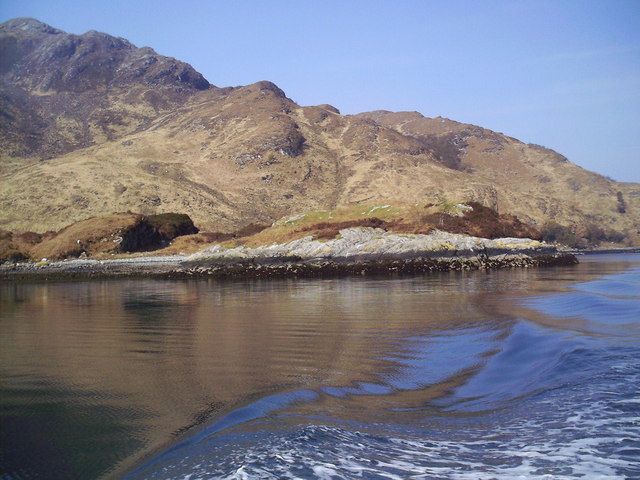
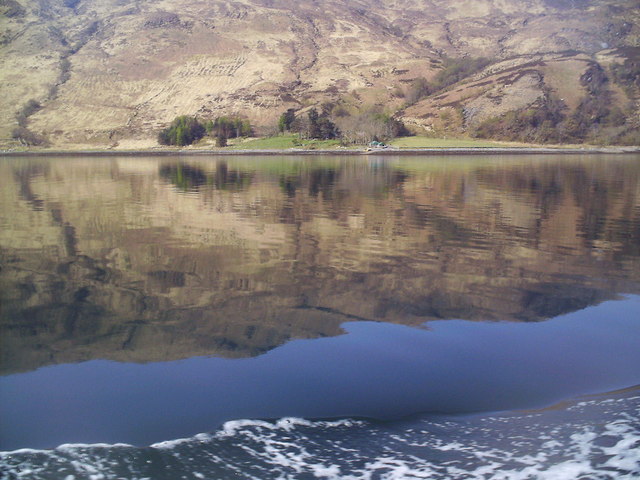
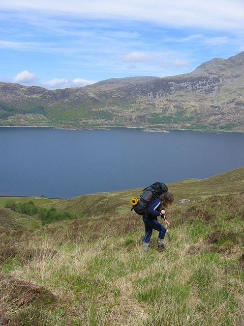
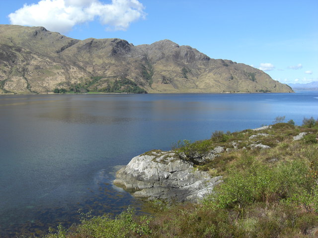
Coirein na Leacainn Images
Images are sourced within 2km of 57.113319/-5.5951108 or Grid Reference NG8208. Thanks to Geograph Open Source API. All images are credited.


Coirein na Leacainn is located at Grid Ref: NG8208 (Lat: 57.113319, Lng: -5.5951108)
Unitary Authority: Highland
Police Authority: Highlands and Islands
What 3 Words
///pitching.forklift.maddening. Near Glenelg, Highland
Related Wikis

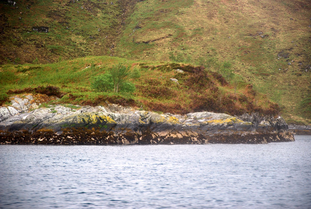
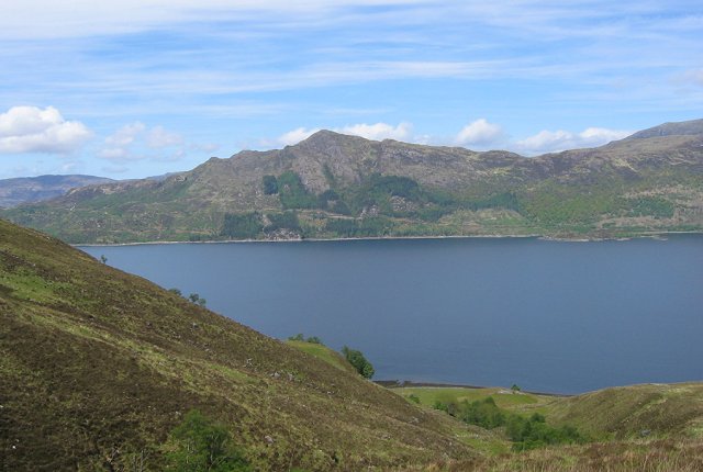
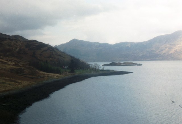
Loch Hourn
Loch Hourn (Scottish Gaelic: Loch Shubhairne) is a sea loch which separates the peninsulas of Glenelg to the north and Knoydart to the south, on the west...

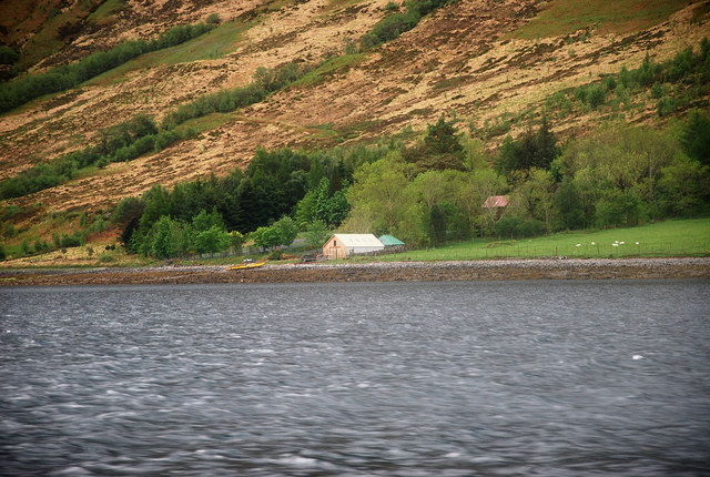
Arnisdale
Arnisdale (Scottish Gaelic: Àrnasdal) is a hamlet in the historic county of Inverness-shire in the local authority area of Highlands of Scotland. It lies...

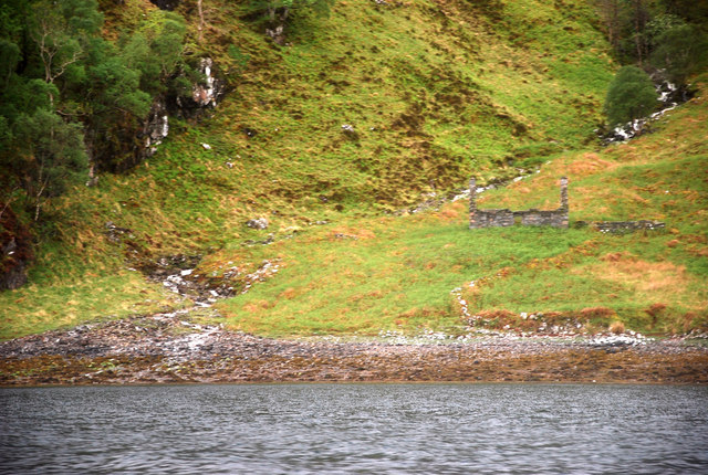
Arnisdale Free Church
Arnisdale Free Church is a church building at one time connected to the Free Church of Scotland. It is sited in Arnisdale, Inverness-shire, Scotland. According...

Corran, Loch Hourn
Corran (Scottish Gaelic: An Corran) is a hamlet on the northern shore of Loch Hourn, in Lochalsh in Inverness-shire in the Highlands of Scotland. It is...
Nearby Amenities
Located within 500m of 57.113319,-5.5951108Have you been to Coirein na Leacainn?
Leave your review of Coirein na Leacainn below (or comments, questions and feedback).