Abhainn Lacasdail
Sea, Estuary, Creek in Ross-shire
Scotland
Abhainn Lacasdail
Abhainn Lacasdail, located in Ross-shire, Scotland, is a picturesque body of water that encompasses a sea, estuary, and creek. The name "Abhainn Lacasdail" translates to "River Lacasdail" in English, and it aptly describes the characteristics of this waterway.
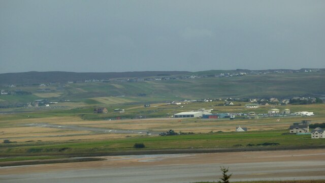
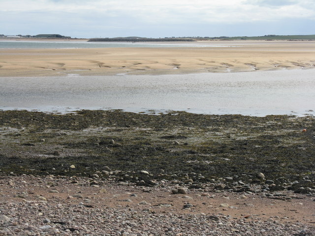
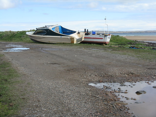
The sea portion of Abhainn Lacasdail stretches along the western coast of Scotland, offering stunning views of the surrounding landscape. The sea here is known for its rugged coastline, with towering cliffs and rocky outcrops adding to its charm. The waters are often choppy, making it a popular spot for water sports enthusiasts and seafarers seeking an adrenaline rush.
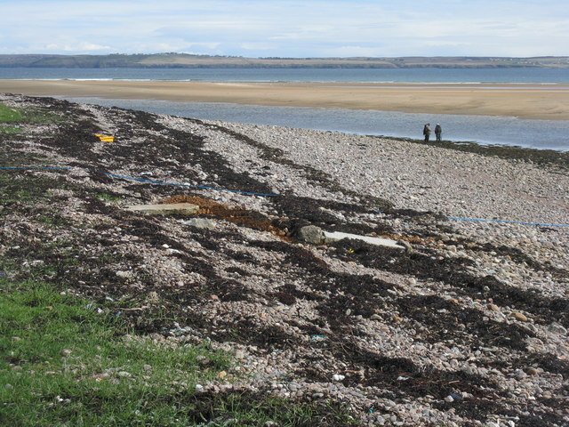
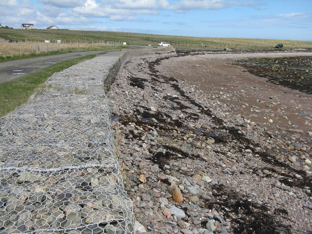
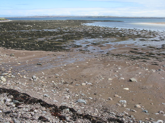
As the sea transitions into an estuary, the landscape becomes more tranquil. The estuary of Abhainn Lacasdail is characterized by a wide and shallow body of water, often influenced by the tides. The estuary provides a haven for various bird species, attracting birdwatchers from far and wide. It is also a vital habitat for marine life, with fish, crabs, and other creatures thriving in its brackish waters.
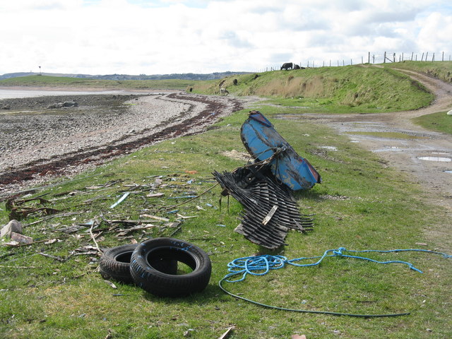
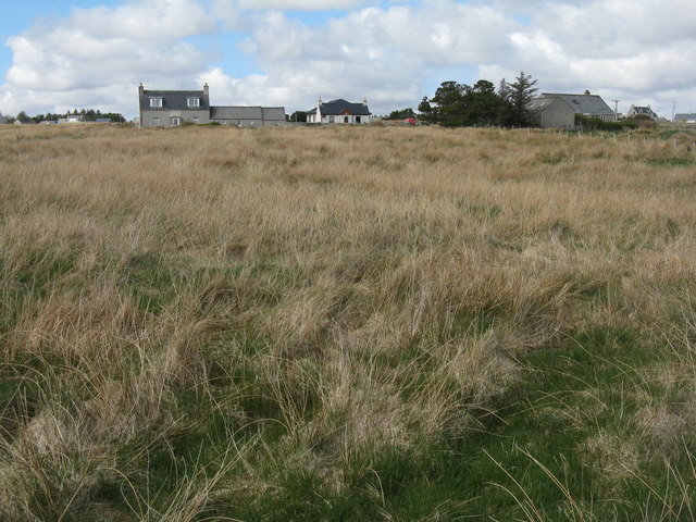
Further inland, Abhainn Lacasdail transforms into a creek, meandering through the lush countryside of Ross-shire. The creek is surrounded by verdant vegetation, including native trees and plants, creating a serene and idyllic setting. Visitors can enjoy leisurely walks along the creek's banks, immersing themselves in the tranquility of nature.
Abhainn Lacasdail, with its diverse features, offers a unique experience for those seeking both adventure and relaxation. Whether it's exploring the rough seas, observing the abundant wildlife in the estuary, or simply taking a peaceful stroll along the creek, Abhainn Lacasdail has something to offer for everyone.
If you have any feedback on the listing, please let us know in the comments section below.
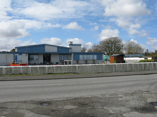
Abhainn Lacasdail Images
Images are sourced within 2km of 58.232979/-6.3428464 or Grid Reference NB4535. Thanks to Geograph Open Source API. All images are credited.
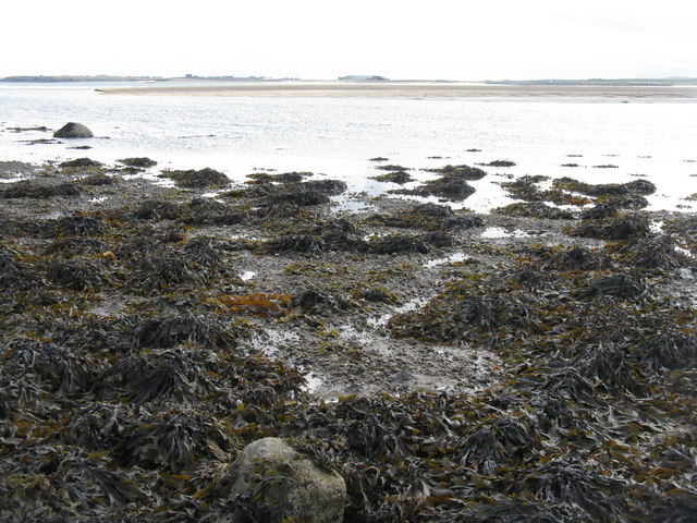
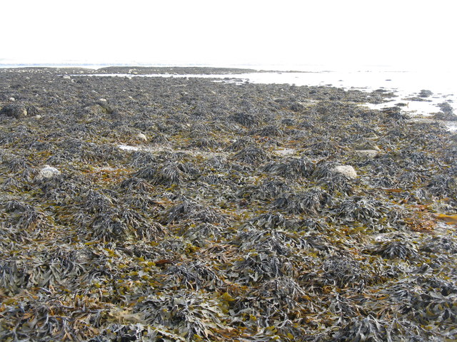
![Brown algae at low tide Mostly serrated wrack [Fucus serratus], with Broad Bay/Loch a Tuath and the Eye Peninsula/An Rubha beyond.](https://s2.geograph.org.uk/geophotos/03/52/40/3524026_e689d19d.jpg)
Abhainn Lacasdail is located at Grid Ref: NB4535 (Lat: 58.232979, Lng: -6.3428464)
Unitary Authority: Na h-Eileanan an Iar
Police Authority: Highlands and Islands
What 3 Words
///listed.tightest.poker. Near Stornoway, Na h-Eileanan Siar
Nearby Locations
Related Wikis

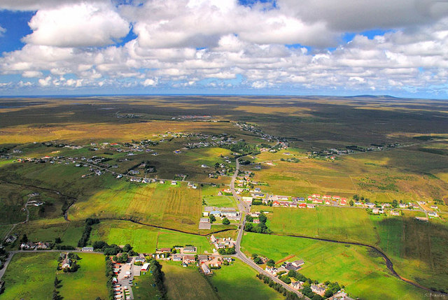
Tong, Lewis
Tong (; Scottish Gaelic: Tunga) is a village on the Isle of Lewis, Scotland, 4 miles (6 kilometres) northeast of the main town of Stornoway on the B895...

Steinish
Steinish (Scottish Gaelic: Steinnis, IPA:[ˈʃtʰʲeɲɪʃ]) is a village in the Scottish Outer Hebrides, on the Isle of Lewis, near Plasterfield and Stornoway...
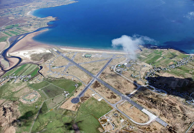
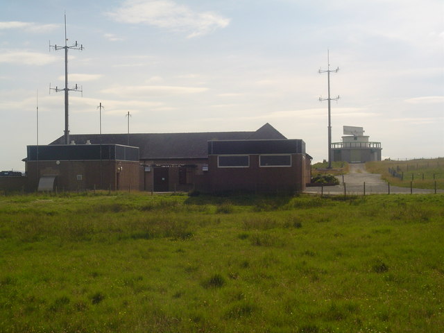
RAF Stornoway
Royal Air Force Stornoway or more simply RAF Stornoway is a former Royal Air Force station near the burgh of Stornoway, on the Isle of Lewis, in the Western...
Stornoway Airport
Stornoway Airport (IATA: SYY, ICAO: EGPO) (Scottish Gaelic: Port-adhair Steòrnabhaigh) is an airfield located 2 NM (3.7 km; 2.3 mi) east of the town of...
Plasterfield
Plasterfield (Scottish Gaelic: Raon na Crèadha) is a hamlet in the Scottish Outer Hebrides, on the Isle of Lewis. Plasterfield is within the parish of...

Western Isles Hospital
The Western Isles Hospital (Scottish Gaelic: Ospadal nan Eilean Siar) is a rural general hospital in Stornoway on Lewis in the Western Isles of Scotland...
Laxdale
Laxdale (Scottish Gaelic: Lacasdal) is a village in the Scottish Outer Hebrides, on the Isle of Lewis. Although nominally a distinct village, Laxdale is...

Newmarket, Lewis
Newmarket (; Scottish Gaelic: An Margaidh Ùr [ən̪ˠ ˈmaɾakaj ˈuːɾ]) is a village in the Outer Hebrides of Scotland, on the Isle of Lewis near Stornoway...
Nearby Amenities
Located within 500m of 58.232979,-6.3428464Have you been to Abhainn Lacasdail?
Leave your review of Abhainn Lacasdail below (or comments, questions and feedback).