Port a' Chobhair
Sea, Estuary, Creek in Argyllshire
Scotland
Port a' Chobhair
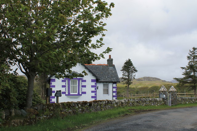
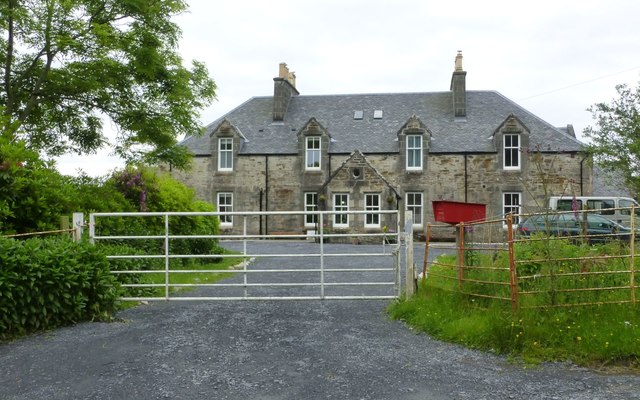
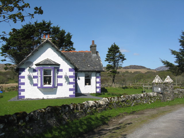
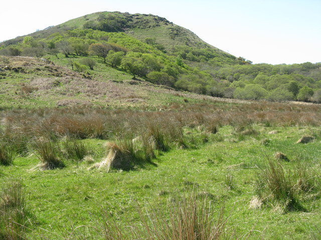
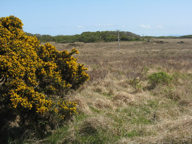
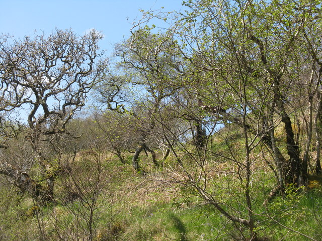
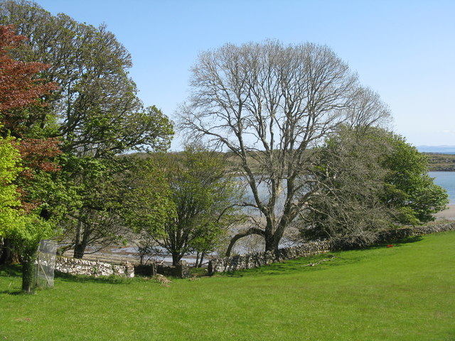
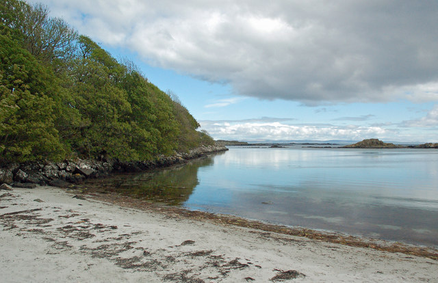
Port a' Chobhair, also known as Cove Harbor, is a small coastal settlement located in Argyllshire, Scotland. Situated on the west coast of Scotland, it is nestled within the picturesque surroundings of the Argyll and Bute region. Port a' Chobhair is primarily known for its stunning sea views, estuary, and creek.
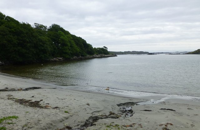
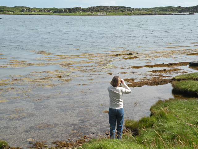
The settlement is situated on a small bay, opening up to the vast expanse of the Atlantic Ocean. The sea here is known for its majestic beauty, with its crystal-clear blue waters and rolling waves. It offers a peaceful and tranquil atmosphere, making it a popular destination for nature lovers and those seeking a serene coastal retreat.
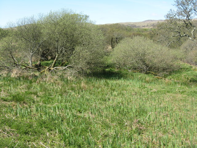
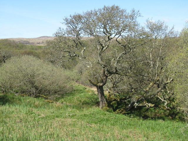
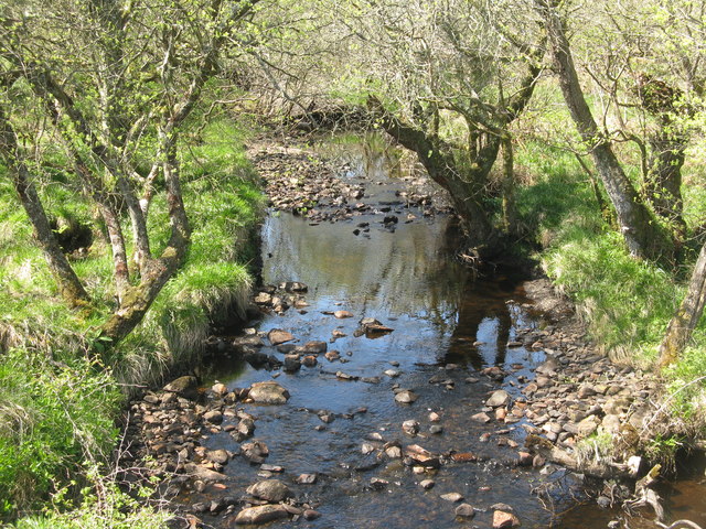
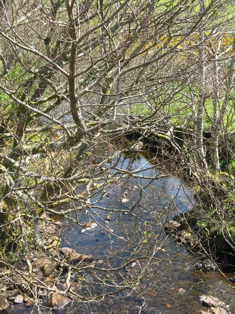
The estuary at Port a' Chobhair is formed by the convergence of a river and the sea. It is a unique ecosystem, supporting a diverse range of flora and fauna. The estuary is particularly renowned for its birdlife, attracting a variety of species throughout the year. Birdwatchers can spot waders, ducks, and seabirds, among others.
A creek is also present in Port a' Chobhair, adding to its natural charm. The creek is a small inlet of water that winds its way through the landscape, providing a habitat for marine life and offering opportunities for boating and sailing enthusiasts.
Port a' Chobhair is a hidden gem in the Argyllshire region, offering visitors the chance to immerse themselves in the beauty of the Scottish coast. Whether it is admiring the sea, exploring the estuary, or enjoying activities on the creek, this coastal settlement has something for everyone to enjoy.
If you have any feedback on the listing, please let us know in the comments section below.
Port a' Chobhair Images
Images are sourced within 2km of 55.667301/-6.0555647 or Grid Reference NR4548. Thanks to Geograph Open Source API. All images are credited.
Port a' Chobhair is located at Grid Ref: NR4548 (Lat: 55.667301, Lng: -6.0555647)
Unitary Authority: Argyll and Bute
Police Authority: Argyll and West Dunbartonshire
What 3 Words
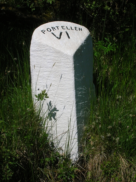
///conclude.anchorman.fresh. Near Port Ellen, Argyll & Bute
Nearby Locations
Related Wikis

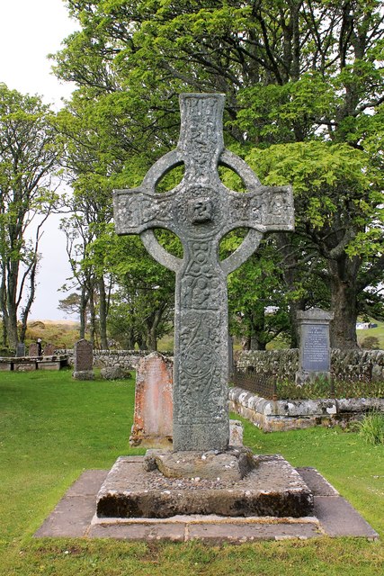
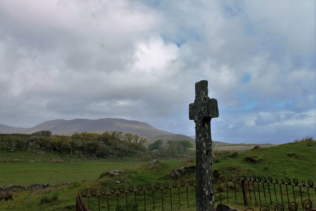
Kildalton Cross
The Kildalton Cross is a monolithic high cross in Celtic cross form in the churchyard of the former parish church of Kildalton (from Scottish Gaelic Cill...

Kildalton Castle
Kildalton Castle is a ruined Victorian country house near Port Ellen on the island of Islay in the Inner Hebrides, Argyll, Scotland. It was built in ashlar...

Ardilistry
Ardilistry is a settlement in Argyll and Bute, Scotland. == References ==
Loch an t-Sailein
Loch an t-Sailein is a sea loch at the southeast coast of Islay, Scotland. European seals frequently visit the shallow waters of this loch. A number of...

Aros Bay
Aros Bay is an embayment of ocean waters near the southeast of Islay, Scotland. == See also == Claggain Bay == Line notes == == References == Alexander...

Ardbeg distillery
Ardbeg distillery (Scottish Gaelic: Taigh-staile na h-Àirde Bige) is a Scotch whisky distillery in Ardbeg on the south coast of the isle of Islay, Argyll...

Claggain Bay
Claggain Bay is an inlet on the southeast of Islay, Scotland. A well known walking path follows near to Claggain Bay and continues to Ardtalla. == See... ==

Dunyvaig Castle
Dunyvaig Castle, (Scottish Gaelic: Dùn Naomhaig, Anglicised Fort of the galleys, also known as Dunnyveg) is located on the south side of Islay, in Argyll...
Nearby Amenities
Located within 500m of 55.667301,-6.0555647Have you been to Port a' Chobhair?
Leave your review of Port a' Chobhair below (or comments, questions and feedback).