Plod Sgeirean
Sea, Estuary, Creek in Argyllshire
Scotland
Plod Sgeirean
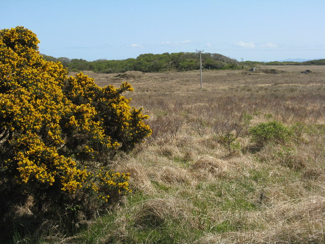
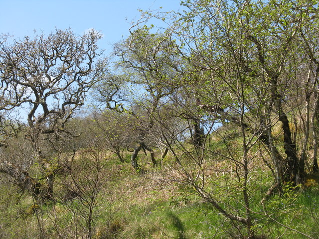
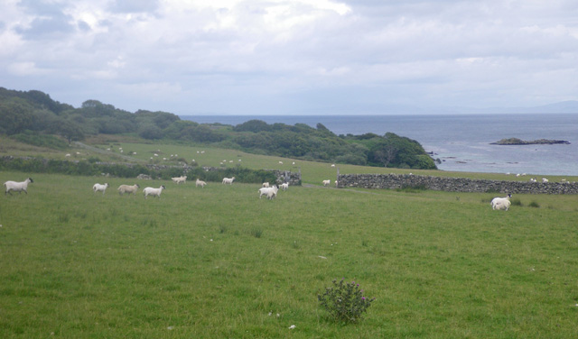
Plod Sgeirean, located in Argyllshire, is a picturesque coastal region nestled on the western coast of Scotland. This area is renowned for its captivating blend of sea, estuary, and creek landscapes, making it a haven for nature enthusiasts and photographers alike.
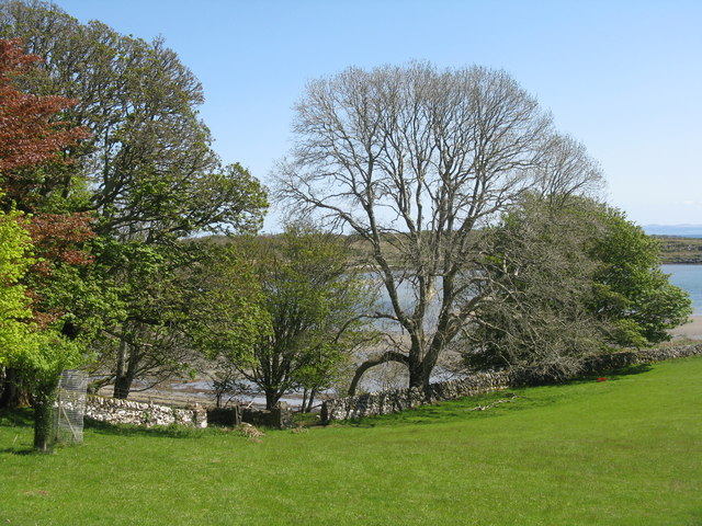
The sea surrounding Plod Sgeirean is a mesmerizing expanse of crystal-clear waters, characterized by its vibrant blue hues. Visitors can witness the magnificent display of crashing waves against rocky cliffs, creating a dramatic and awe-inspiring sight.
The estuary of Plod Sgeirean is a haven for diverse marine life, providing a thriving ecosystem for a variety of species. Here, visitors have the opportunity to observe a rich array of flora and fauna, including seabirds, seals, and even the occasional dolphin or porpoise. The estuary's calm waters are perfect for kayaking and canoeing, enabling visitors to explore its hidden coves and secret lagoons.
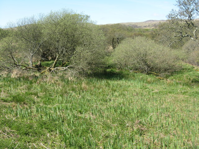
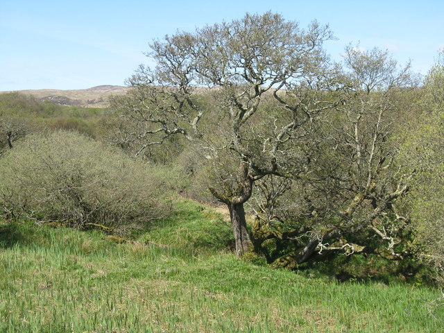
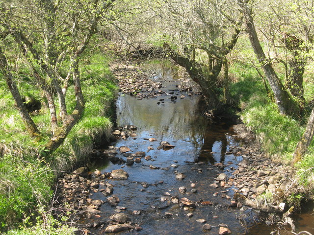
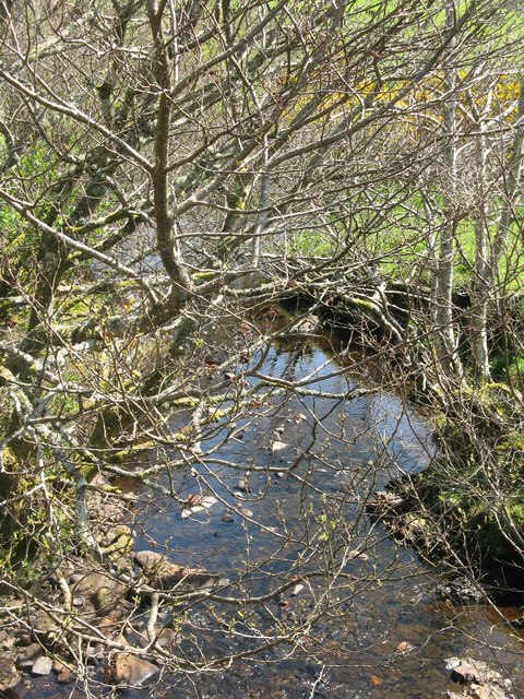
Nestled within the heart of Plod Sgeirean is a charming creek that meanders through lush greenery and ancient woodlands. This tranquil waterway offers a peaceful retreat for those seeking solace in nature. Visitors can stroll along the creek's banks, immersing themselves in the peaceful ambiance and relishing the gentle sound of flowing water.
Plod Sgeirean is a true gem on Scotland's western coast, offering a harmonious blend of sea, estuary, and creek landscapes. Its natural beauty and diverse wildlife make it a must-visit destination for those seeking a peaceful escape in the heart of nature.
If you have any feedback on the listing, please let us know in the comments section below.
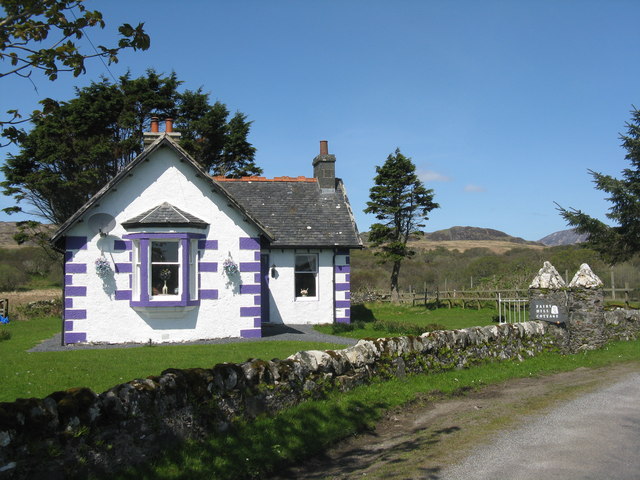
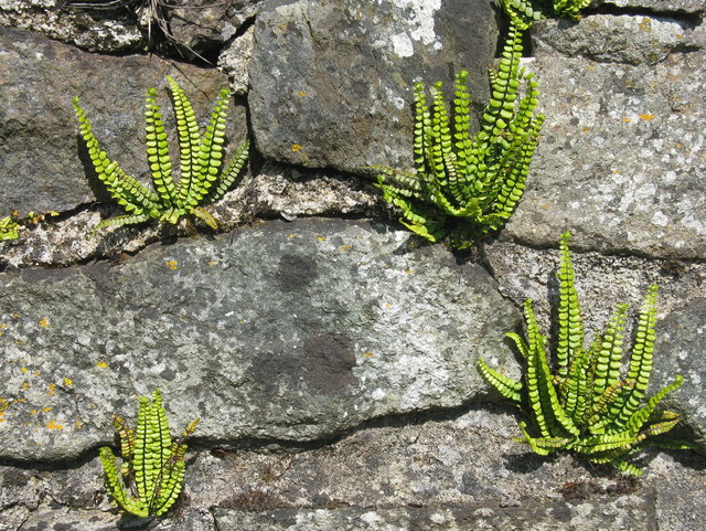
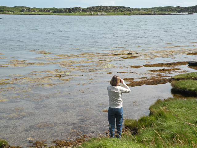
Plod Sgeirean Images
Images are sourced within 2km of 55.667001/-6.043425 or Grid Reference NR4548. Thanks to Geograph Open Source API. All images are credited.
Plod Sgeirean is located at Grid Ref: NR4548 (Lat: 55.667001, Lng: -6.043425)
Unitary Authority: Argyll and Bute
Police Authority: Argyll and West Dunbartonshire
What 3 Words
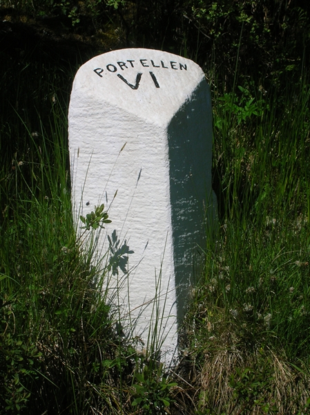
///foiled.stockpile.primed. Near Port Ellen, Argyll & Bute
Nearby Locations
Related Wikis

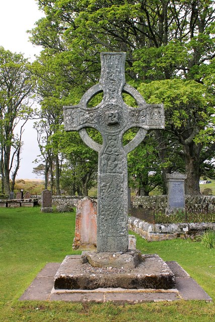
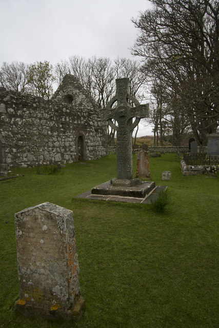
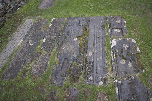
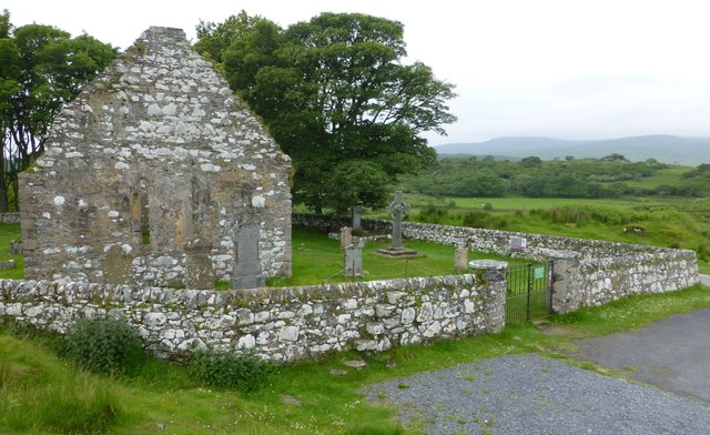
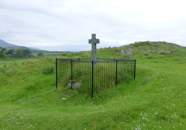
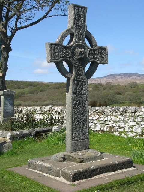
Kildalton Cross
The Kildalton Cross is a monolithic high cross in Celtic cross form in the churchyard of the former parish church of Kildalton (from Scottish Gaelic Cill...

Kildalton Castle
Kildalton Castle is a ruined Victorian country house near Port Ellen on the island of Islay in the Inner Hebrides, Argyll, Scotland. It was built in ashlar...

Ardilistry
Ardilistry is a settlement in Argyll and Bute, Scotland. == References ==

Aros Bay
Aros Bay is an embayment of ocean waters near the southeast of Islay, Scotland. == See also == Claggain Bay == Line notes == == References == Alexander...
Loch an t-Sailein
Loch an t-Sailein is a sea loch at the southeast coast of Islay, Scotland. European seals frequently visit the shallow waters of this loch. A number of...

Claggain Bay
Claggain Bay is an inlet on the southeast of Islay, Scotland. A well known walking path follows near to Claggain Bay and continues to Ardtalla. == See... ==

Ardbeg distillery
Ardbeg distillery (Scottish Gaelic: Taigh-staile na h-Àirde Bige) is a Scotch whisky distillery in Ardbeg on the south coast of the isle of Islay, Argyll...
Ardtalla
Ardtalla (Scottish Gaelic: 'Àird Talla') is a place name and estate in the southeast coastal area of Islay, Scotland. The name derives from Gaelic Àird...
Nearby Amenities
Located within 500m of 55.667001,-6.043425Have you been to Plod Sgeirean?
Leave your review of Plod Sgeirean below (or comments, questions and feedback).