Eilean Mhic Mhaolmhoire

Island in Argyllshire

Scotland

Eilean Mhic Mhaolmhoire

Fairy Hill Cottage The eye-catching holiday rental of Fairy Hill by Ardilistry.
Fairy Hill Cottage Credit: Andrew Wood

Eilean Mhic Mhaolmhoire, located in Argyllshire, Scotland, is a small island situated off the western coast of the country. The island is roughly 2.5 kilometers long and 1 kilometer wide, with a total land area of around 2 square kilometers. It is part of the Inner Hebrides, a group of islands renowned for their rugged beauty and rich history.

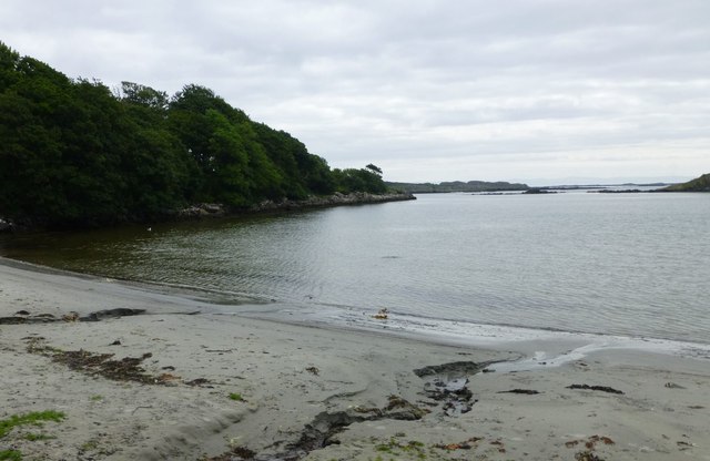
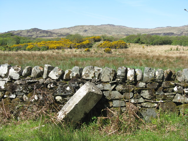
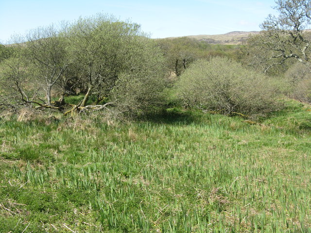
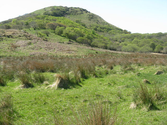
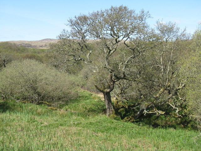
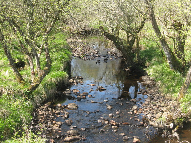
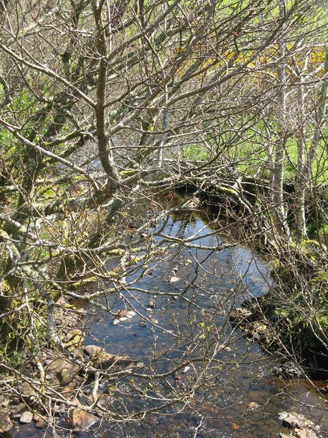
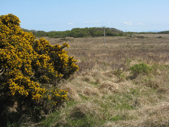
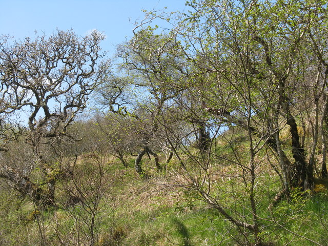
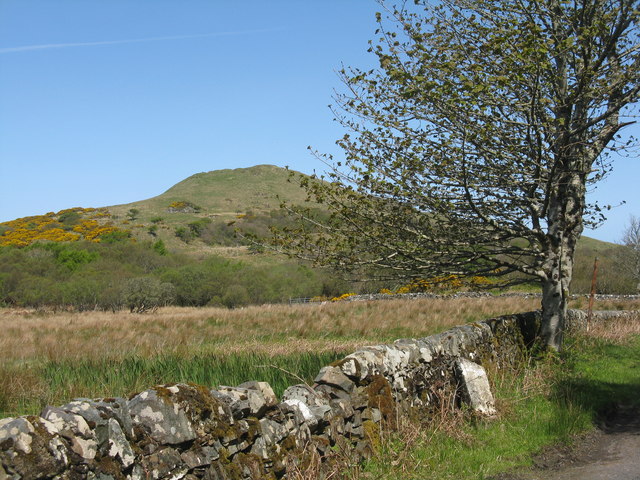
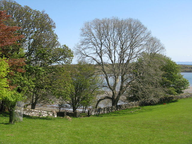
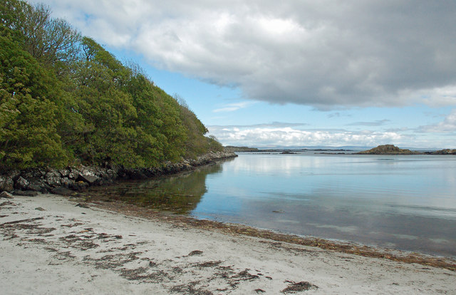
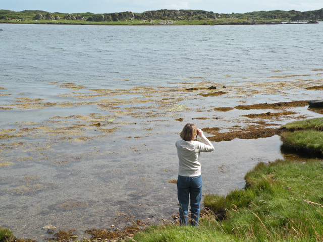
Eilean Mhic Mhaolmhoire is characterized by its striking landscapes, consisting of rolling hills, rocky cliffs, and pristine beaches. The island is predominantly covered in heather and grass, providing an ideal habitat for various species of wildlife, including seabirds and seals. Visitors to the island can enjoy picturesque walks along its coastline and take in breathtaking views of the surrounding sea and neighboring islands.

The island is uninhabited, with no permanent residents, but it is a popular destination for nature enthusiasts, hikers, and those seeking tranquility away from the bustling mainland. Access to the island is possible by boat or ferry from nearby ports, and there are no facilities or amenities available on the island itself.

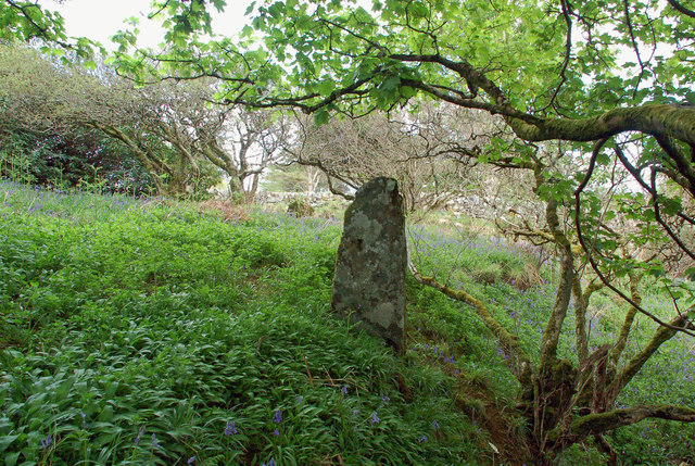
Eilean Mhic Mhaolmhoire holds historical significance as it was once home to a small settlement during the Iron Age. Archaeological remains, including a stone fort, have been discovered on the island, offering a glimpse into its ancient past. The island also boasts a lighthouse, constructed in the 19th century, which continues to guide ships through the treacherous waters of the region.

In summary, Eilean Mhic Mhaolmhoire is a captivating island in Argyllshire, Scotland, known for its stunning natural landscapes, wildlife, and historical remains. It offers visitors a chance to immerse themselves in the raw beauty of the Inner Hebrides and escape the hustle and bustle of everyday life.

If you have any feedback on the listing, please let us know in the comments section below.

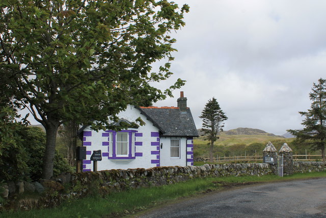
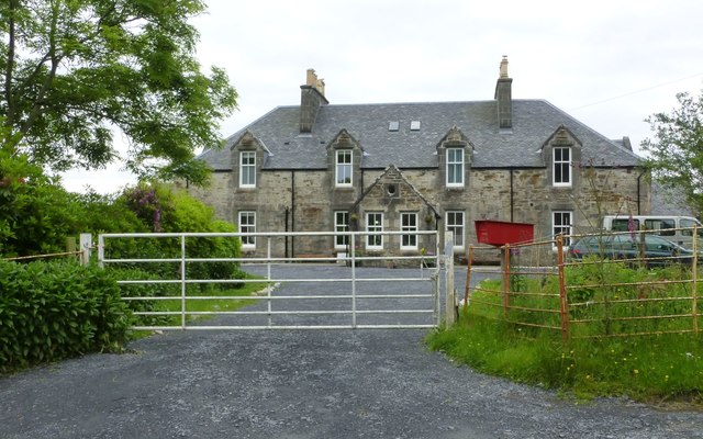
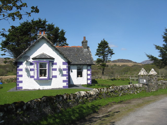
Eilean Mhic Mhaolmhoire Images

Images are sourced within 2km of 55.661288/-6.0532874 or Grid Reference NR4548. Thanks to Geograph Open Source API. All images are credited.

Fairy Hill Cottage The eye-catching holiday rental of Fairy Hill by Ardilistry.
Fairy Hill Cottage
The eye-catching holiday rental of Fairy Hill by Ardilistry.
House backing onto Loch a' Chnuic
Traigh Liath Rubha Thorrnish on the left.
Traigh Liath
Rubha Thorrnish on the left.
Fairy Hill Cottage On the road to Ardtalla. Fairy Hill Cottage on the gate post, but The Gate House on the map. For two earlier pictures see <a href="https://www.geograph.org.uk/photo/5144678">NR4349 : Fairy Hill Cottage</a> and <a href="https://www.geograph.org.uk/photo/4046681">NR4349 : Fairy Hill Cottage</a>.
Fairy Hill Cottage
On the road to Ardtalla. Fairy Hill Cottage on the gate post, but The Gate House on the map. For two earlier pictures see NR4349 : Fairy Hill Cottage and NR4349 : Fairy Hill Cottage.
Milestone on the road to Ardtalla Slightly tipsy, but it reads 'PORT ELLEN V' on the top.
Milestone on the road to Ardtalla
Slightly tipsy, but it reads 'PORT ELLEN V' on the top.
Willows and Iris Damp scrub by the Gate House, on the road to Ardtalla.
Willows and Iris
Damp scrub by the Gate House, on the road to Ardtalla.
Cnoc Rhaonastil With deciduous woodland and rough grazing.
Cnoc Rhaonastil
With deciduous woodland and rough grazing.
Oak and Willow by the Ardilistry River
The Ardilistry River Looking upstream, with streamside Alders.
The Ardilistry River
Looking upstream, with streamside Alders.
The Ardilistry River Looking downstream from the bridge at Fairy Hill Cottage.
The Ardilistry River
Looking downstream from the bridge at Fairy Hill Cottage.
Moorland near Kildalton Looking south to a wooded rise.
Moorland near Kildalton
Looking south to a wooded rise.
Coille nam Bruach Open deciduous woodland along the road to Ardtalla.
Coille nam Bruach
Open deciduous woodland along the road to Ardtalla.
Milestone at Kildalton With Cnoc Rhaonastil beyond.
Milestone at Kildalton
With Cnoc Rhaonastil beyond.
Overlooking Ardilistry Bay From the road to Ardtalla from Port Ellen.
Overlooking Ardilistry Bay
From the road to Ardtalla from Port Ellen.
Old Milestone north of red Cottage, Kildalton and Oa parish Stone post by the UC road, in parish of Kildalton and Oa (Islay District), between woods, on verge by stone wall, Northwest side of road.

Inscription reads:-
PORT ELLEN
V

Surveyed

Milestone Society National ID: AB_IPEAT05
Old Milestone north of red Cottage, Kildalton and Oa parish
Stone post by the UC road, in parish of Kildalton and Oa (Islay District), between woods, on verge by stone wall, Northwest side of road. Inscription reads:- PORT ELLEN V Surveyed Milestone Society National ID: AB_IPEAT05
Old Milestone near Ardilistry, Islay District Milestone by the UC road, in parish of Kildalton and Oa (Islay District), opposite gates to Ardilistry, on verge.

Inscription reads:-
PORT ELLEN
VI

Surveyed

Milestone Society National ID: AB_IPEAT06
Old Milestone near Ardilistry, Islay District
Milestone by the UC road, in parish of Kildalton and Oa (Islay District), opposite gates to Ardilistry, on verge. Inscription reads:- PORT ELLEN VI Surveyed Milestone Society National ID: AB_IPEAT06
Loch a’ Chnuic A lovely wee inlet on Islay's south-east coast. The Gaelic name is Anglicised into Knock Bay.
Loch a’ Chnuic
A lovely wee inlet on Islay's south-east coast. The Gaelic name is Anglicised into Knock Bay.
Princess Ile's Stone Islay is said to have taken its name from the Danish Princess Ile (or Yule or Iula) who drowned just off shore here. According to the legend, her grave is marked by a standing stone above Knock Bay (Loch a' Chnuic) and anyone trying to open the grave will go mad.
The Canmore website confirms that the two standing stones at Clachan Ceann Ile do appear to be an ancient grave site but are probably not of prehistoric date. 
The taller and more imposing stone, 1.4m high, is situated on the edge of slope which must have provided a stunning view over Loch a' Chnuic before the trees grew there. It’s roughly pointed in shape, covered with moss and lichen and seems to have no carvings.
The smaller stone, 0.7m high, is located on the edge of the woodland next to the road. It's visible in the background of this shot.
Princess Ile's Stone
Islay is said to have taken its name from the Danish Princess Ile (or Yule or Iula) who drowned just off shore here. According to the legend, her grave is marked by a standing stone above Knock Bay (Loch a' Chnuic) and anyone trying to open the grave will go mad. The Canmore website confirms that the two standing stones at Clachan Ceann Ile do appear to be an ancient grave site but are probably not of prehistoric date. The taller and more imposing stone, 1.4m high, is situated on the edge of slope which must have provided a stunning view over Loch a' Chnuic before the trees grew there. It’s roughly pointed in shape, covered with moss and lichen and seems to have no carvings. The smaller stone, 0.7m high, is located on the edge of the woodland next to the road. It's visible in the background of this shot.
Show me another place!

Eilean Mhic Mhaolmhoire is located at Grid Ref: NR4548 (Lat: 55.661288, Lng: -6.0532874)

Unitary Authority: Argyll and Bute

Police Authority: Argyll and West Dunbartonshire

What 3 Words

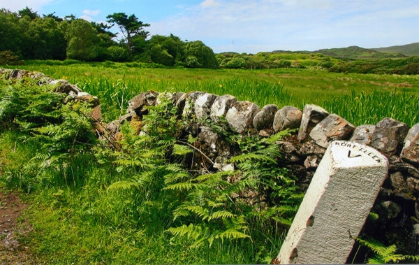
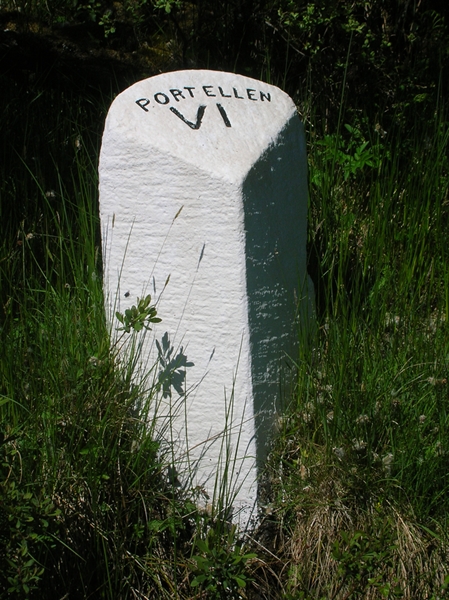
///returns.disposal.goose. Near Port Ellen, Argyll & Bute

Related Wikis

Kildalton Castle

Kildalton Castle is a ruined Victorian country house near Port Ellen on the island of Islay in the Inner Hebrides, Argyll, Scotland. It was built in ashlar...

Ardilistry

Ardilistry is a settlement in Argyll and Bute, Scotland. == References ==

Kildalton Cross

The Kildalton Cross is a monolithic high cross in Celtic cross form in the churchyard of the former parish church of Kildalton (from Scottish Gaelic Cill...

Loch an t-Sailein

Loch an t-Sailein is a sea loch at the southeast coast of Islay, Scotland. European seals frequently visit the shallow waters of this loch. A number of...

Aros Bay

Aros Bay is an embayment of ocean waters near the southeast of Islay, Scotland. == See also == Claggain Bay == Line notes == == References == Alexander...

Ardbeg distillery

Ardbeg distillery (Scottish Gaelic: Taigh-staile na h-Àirde Bige) is a Scotch whisky distillery in Ardbeg on the south coast of the isle of Islay, Argyll...

Claggain Bay

Claggain Bay is an inlet on the southeast of Islay, Scotland. A well known walking path follows near to Claggain Bay and continues to Ardtalla. == See... ==

Dunyvaig Castle

Dunyvaig Castle, (Scottish Gaelic: Dùn Naomhaig, Anglicised Fort of the galleys, also known as Dunnyveg) is located on the south side of Islay, in Argyll...

Nearby Amenities

Located within 500m of 55.661288,-6.0532874
Source: PGS
Lat/Long: 55.6589813/-6.0571938
Source: PGS
Lat/Long: 55.658373/-6.0576881
Source: PGS
Lat/Long: 55.65829/-6.05782
Source: PGS
Lat/Long: 55.6580251/-6.0580502
Source: PGS
Lat/Long: 55.6575666/-6.0573027
Source: PGS
Lat/Long: 55.6578948/-6.0567949
Source: PGS
Lat/Long: 55.6581204/-6.0565736
Source: PGS
Lat/Long: 55.6583259/-6.0562022
Source: PGS
Lat/Long: 55.6585687/-6.0556343
Source: PGS
Lat/Long: 55.6587372/-6.0550391
Source: PGS
Lat/Long: 55.6593282/-6.0542127
Source: PGS
Lat/Long: 55.6594924/-6.0540175
Source: PGS
Lat/Long: 55.6596836/-6.0538646
Source: PGS
Lat/Long: 55.65999/-6.0534
Source: PGS
Lat/Long: 55.6602274/-6.0528513
Source: PGS
Lat/Long: 55.6606196/-6.0524302
Source: PGS
Lat/Long: 55.6612126/-6.052103
Source: PGS
Lat/Long: 55.6618483/-6.0503009
Source: PGS
Lat/Long: 55.661644/-6.0503176
Source: PGS
Lat/Long: 55.6618593/-6.0498763
Source: PGS
Lat/Long: 55.6621217/-6.0494418
Source: PGS
Lat/Long: 55.6621875/-6.0492481
Source: PGS
Lat/Long: 55.66244/-6.0493208
Source: PGS
Lat/Long: 55.6625502/-6.0490721
Source: PGS
Lat/Long: 55.6630404/-6.0479197
Source: PGS
Lat/Long: 55.6633249/-6.0475274
Source: PGS
Lat/Long: 55.6636776/-6.0471288
Source: PGS
Lat/Long: 55.6636452/-6.0482372
Source: PGS
Lat/Long: 55.6637226/-6.0486407
Source: PGS
Lat/Long: 55.6647935/-6.0484782
Source: PGS
Lat/Long: 55.6645879/-6.0489482
Source: PGS
Lat/Long: 55.6640702/-6.0494926
Source: PGS
Lat/Long: 55.6638865/-6.0497279
Source: PGS
Lat/Long: 55.6636463/-6.0499916
Source: PGS
Lat/Long: 55.663328/-6.0505295
Source: PGS
Lat/Long: 55.66324/-6.05066
Source: PGS
Lat/Long: 55.663135/-6.0512245
Source: PGS
Lat/Long: 55.6629217/-6.0516311
Source: PGS
Lat/Long: 55.66285/-6.05212
Source: PGS
Lat/Long: 55.6617389/-6.0543772
The data included in this document is from www.openstreetmap.org. The data is made available under ODbL.

Have you been to Eilean Mhic Mhaolmhoire?

Leave your review of Eilean Mhic Mhaolmhoire below (or comments, questions and feedback).