Lodan

Lake, Pool, Pond, Freshwater Marsh in Ross-shire

Scotland

Lodan

Fossil river bed by Stornoway This layer of conglomerate rock, eroding at the seaward edge, represents a 250 million year old river bed or delta. It looks as if it would be easy to pick up one of the rounded fist-sized stones but they are impossibly cemented together.  It's quite a feeling walking on the surface of this deposit, knowing that you're on an ancient river bed.
Fossil river bed by Stornoway Credit: AlastairG

Lodan is a picturesque village located in the county of Ross-shire, Scotland. Situated amidst stunning natural beauty, Lodan is renowned for its abundant water bodies consisting of lakes, pools, ponds, and freshwater marshes. These water features not only provide a serene and tranquil atmosphere but also serve as vital ecosystems supporting a diverse range of flora and fauna.

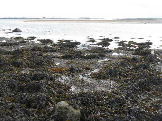
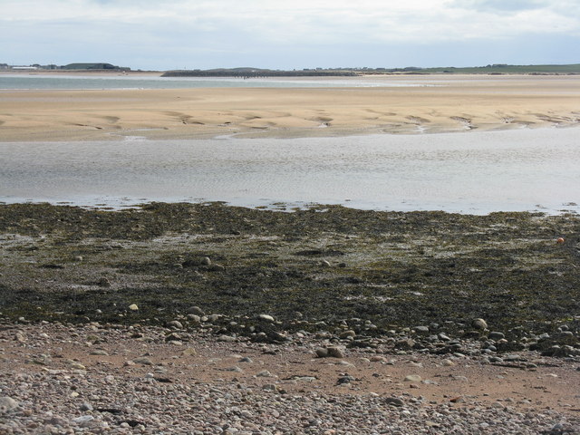
The centerpiece of Lodan is its pristine lake, which stretches over several hectares. Surrounded by rolling green hills, the lake offers breathtaking vistas and is a popular spot for boating, fishing, and leisurely walks along its shores. The crystal-clear waters of the lake are home to various species of fish, making it a paradise for anglers.

Adjacent to the lake, Lodan boasts several smaller pools and ponds, each with its distinctive charm. These smaller water bodies are havens for amphibians, such as frogs and newts, as well as a plethora of water-loving plants. Visitors can witness the vibrant colors of water lilies and reeds, which carpet the surface of these pools and ponds.

The village is also blessed with a freshwater marsh, an area of low-lying wetland characterized by its rich biodiversity. This marshland acts as a natural filter, purifying the water and providing a habitat for numerous bird species, including ducks, herons, and swans. Nature enthusiasts can explore the marsh on designated paths, observing the various bird species and perhaps catching a glimpse of elusive otters.

In summary, Lodan is an idyllic village in Ross-shire, Scotland, adorned with a stunning lake, charming pools, and ponds, and a thriving freshwater marsh. Its natural beauty and diverse wildlife make it a must-visit destination for those seeking solace in nature.

If you have any feedback on the listing, please let us know in the comments section below.
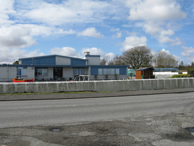
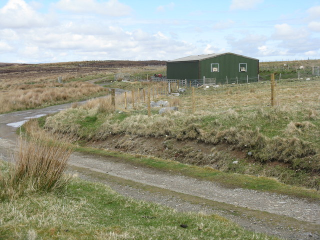
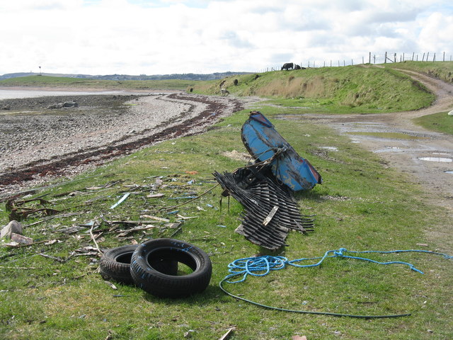
Lodan Images

Images are sourced within 2km of 58.237892/-6.3435333 or Grid Reference NB4535. Thanks to Geograph Open Source API. All images are credited.

Fossil river bed by Stornoway This layer of conglomerate rock, eroding at the seaward edge, represents a 250 million year old river bed or delta. It looks as if it would be easy to pick up one of the rounded fist-sized stones but they are impossibly cemented together.  It's quite a feeling walking on the surface of this deposit, knowing that you're on an ancient river bed.
Fossil river bed by Stornoway
This layer of conglomerate rock, eroding at the seaward edge, represents a 250 million year old river bed or delta. It looks as if it would be easy to pick up one of the rounded fist-sized stones but they are impossibly cemented together. It's quite a feeling walking on the surface of this deposit, knowing that you're on an ancient river bed.
Sron Ruadh at low tide Looking across the outflow of the Abhainn Locasdail towards the airport. Algae in abundance.
Sron Ruadh at low tide
Looking across the outflow of the Abhainn Locasdail towards the airport. Algae in abundance.
Gathering winter fuel Peat cutting at Tunga. The top layer of 'turf' is stripped off and placed at the bottom; the peat is then cut off in slices and spread out to dry - 3-4 weeks if good weather.
Gathering winter fuel
Peat cutting at Tunga. The top layer of 'turf' is stripped off and placed at the bottom; the peat is then cut off in slices and spread out to dry - 3-4 weeks if good weather.
Island life Remote places are not always as idyllic as one might imagine. Apparently this residence is occupied, less than 4km from the centre of Stornoway.
Island life
Remote places are not always as idyllic as one might imagine. Apparently this residence is occupied, less than 4km from the centre of Stornoway.
Water tower at Tunga Disused and recently changed hands - local residents wonder what might happen to it.
Water tower at Tunga
Disused and recently changed hands - local residents wonder what might happen to it.
Peat drying at Tunga Cut slices lay on the surface to dry.
Peat drying at Tunga
Cut slices lay on the surface to dry.
Peat harvest at Tunga Cut slices are put to dry, both on top of the cut face and on the bog below .
Peat harvest at Tunga
Cut slices are put to dry, both on top of the cut face and on the bog below .
Old peat cutting at Tunga Cut many years ago, the face has recolonized with heather, grass and mosses.
Old peat cutting at Tunga
Cut many years ago, the face has recolonized with heather, grass and mosses.
Moorland at Tunga With peat cuttings beyond, and further away houses at Newmarket on the A857.
Moorland at Tunga
With peat cuttings beyond, and further away houses at Newmarket on the A857.
Moorland at Tunga Looking towards Stornoway and Newmarket
Moorland at Tunga
Looking towards Stornoway and Newmarket
Peat cutting at Tunga The top layer of turf has been removed and placed below the face. The exposed surface is then cut in slices vertically and placed on the surface to dry.
Peat cutting at Tunga
The top layer of turf has been removed and placed below the face. The exposed surface is then cut in slices vertically and placed on the surface to dry.
Car park at Tunga Recycling, parked roller and playing field.
Car park at Tunga
Recycling, parked roller and playing field.
Primary school at Tunga On the B895 from Newmarket to Tolsta.
Primary school at Tunga
On the B895 from Newmarket to Tolsta.
Farm building at Tunga Little changed since Richard Webb was there in 2009 <a href="https://www.geograph.org.uk/photo/1250397">NB4437 : Moorland road above Tunga</a>.
Farm building at Tunga
Little changed since Richard Webb was there in 2009 NB4437 : Moorland road above Tunga.
Moorland at Tunga With peat cuttings, some of them active, and a large area of conifer plantation beyond in the valleys of Allt an t-Sniomh and Allt Dubh.
Moorland at Tunga
With peat cuttings, some of them active, and a large area of conifer plantation beyond in the valleys of Allt an t-Sniomh and Allt Dubh.
Looking west from the moor at Tunga At an active peat cutting site - the edge across the depression was apparently worked by the grandparents of the crofters who were cutting peat at this site when I was there. The houses in the distance are on the A857 at Newmarket.
Looking west from the moor at Tunga
At an active peat cutting site - the edge across the depression was apparently worked by the grandparents of the crofters who were cutting peat at this site when I was there. The houses in the distance are on the A857 at Newmarket.
Boat on the shore At Àird Thunga on Broad Bay/Loch a Tuath.
Boat on the shore
At Àird Thunga on Broad Bay/Loch a Tuath.
Looking south across the head of Broad Bay Across Abhainn Lacasdail to Tràigh Mhealaboist and the airport at Stornoway.
Looking south across the head of Broad Bay
Across Abhainn Lacasdail to Tràigh Mhealaboist and the airport at Stornoway.
Show me another place!

Lodan is located at Grid Ref: NB4535 (Lat: 58.237892, Lng: -6.3435333)

Unitary Authority: Na h-Eileanan an Iar

Police Authority: Highlands and Islands

What 3 Words

///works.sidelined.other. Near Stornoway, Na h-Eileanan Siar

Related Wikis

Tong, Lewis

Tong (Scottish Gaelic: Tunga from Old Norse: Tunga) is a village on the Isle of Lewis, Scotland, 4 miles (6 kilometres) northeast of the main town of Stornoway...

Steinish

Steinish (Scottish Gaelic: Steinnis, IPA:[ˈʃtʰʲeɲɪʃ]) is a village in the Scottish Outer Hebrides, on the Isle of Lewis, near Plasterfield and Stornoway...
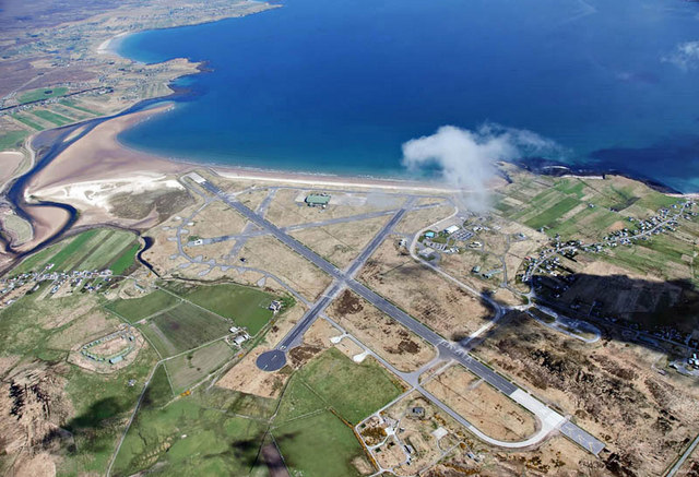
RAF Stornoway

Royal Air Force Stornoway or more simply RAF Stornoway is a former Royal Air Force station near the burgh of Stornoway, on the Isle of Lewis, in the Western...

Stornoway Airport

Stornoway Airport (IATA: SYY, ICAO: EGPO) (Scottish Gaelic: Port-adhair Steòrnabhaigh) is an airfield located 2 NM (3.7 km; 2.3 mi) east of the town of...

Nearby Amenities

Located within 500m of 58.237892,-6.3435333
Generator Method: wind_turbine
Generator Source: wind
Generator Type: horizontal_axis
Power: generator
Lat/Long: 58.2365463/-6.3476569
Generator Method: wind_turbine
Generator Source: wind
Generator Type: horizontal_axis
Power: generator
Lat/Long: 58.2370355/-6.3502988
Aeroway: navigationaid
Navigationaid: als
Lat/Long: 58.2385225/-6.335448
The data included in this document is from www.openstreetmap.org. The data is made available under ODbL.

Have you been to Lodan?

Leave your review of Lodan below (or comments, questions and feedback).