Lòn nan Deiseag
Sea, Estuary, Creek in Inverness-shire
Scotland
Lòn nan Deiseag
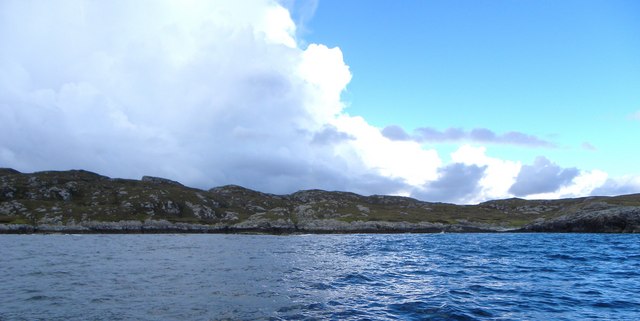
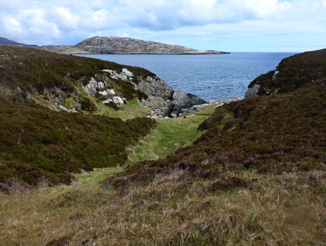
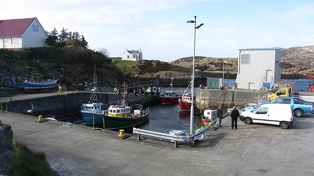
![East coast of Ronay A narrow gap between the tiny island of Eilean na Cloiche [left] and Ronay, leading to a small inlet.](https://s2.geograph.org.uk/geophotos/02/07/34/2073482_b1601bc1.jpg)
Lòn nan Deiseag is a picturesque sea inlet located in Inverness-shire, Scotland. Situated on the west coast of the country, it is known for its stunning natural beauty and diverse ecosystem. The name Lòn nan Deiseag translates to "Meadow of the Sea" in Gaelic, reflecting the area's lush green meadows that meet the sparkling waters of the sea.
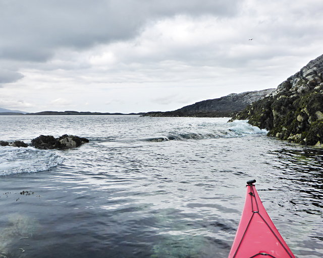
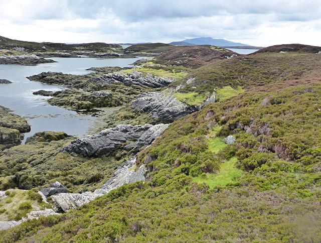
The inlet stretches for approximately 2 miles, with a width that varies depending on tidal movements. It is characterized by its calm and sheltered waters, making it a popular spot for boating and water activities such as kayaking and fishing. The area is also home to a wide array of marine life, including seals, otters, and various species of birds, making it a haven for wildlife enthusiasts and birdwatchers.
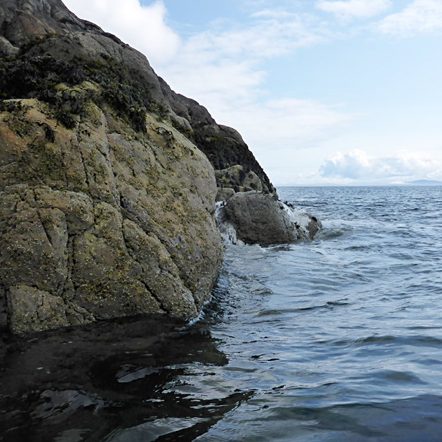
Surrounding the inlet are rolling hills and rocky cliffs, providing a stunning backdrop to the tranquil waters. The coastal path that follows the coastline offers breathtaking views and opportunities for leisurely walks and hikes. Additionally, the nearby village of Inverness offers a range of amenities for visitors, including accommodation, restaurants, and shops.
Lòn nan Deiseag is a place of natural beauty and tranquility, offering visitors a chance to immerse themselves in the raw and untouched landscapes of the Scottish coast. Whether it is exploring the diverse marine life, enjoying water activities, or simply taking in the breathtaking scenery, Lòn nan Deiseag is a destination that captivates visitors with its charm and natural allure.
If you have any feedback on the listing, please let us know in the comments section below.
Lòn nan Deiseag Images
Images are sourced within 2km of 57.471411/-7.1891884 or Grid Reference NF8954. Thanks to Geograph Open Source API. All images are credited.


Lòn nan Deiseag is located at Grid Ref: NF8954 (Lat: 57.471411, Lng: -7.1891884)
Unitary Authority: Na h-Eileanan an Iar
Police Authority: Highlands and Islands
What 3 Words
///folds.threaded.dolphins. Near Balivanich, Na h-Eileanan Siar
Nearby Locations
Related Wikis

Ronay
Ronay (Scottish Gaelic: Rònaigh) is an island in the Outer Hebrides of Scotland, which lies a short distance off the east coast of Grimsay. == Geography... ==

Flodaigh Mòr
Flodaigh Mòr (or Floddaymore) is an uninhabited island in the Outer Hebrides of Scotland. == Geography and geology == Flodaigh Mòr lies east of North Uist...
Grimsay
Grimsay (Scottish Gaelic: Griomasaigh) is a tidal island in the Outer Hebrides of Scotland. == Geography == Grimsay is the largest of the low-lying stepping...

Flodaigh
Flodaigh is a tidal island lying to the north of Benbecula and south of Grimsay in the Outer Hebrides, Scotland. It is connected to Benbecula by a causeway...
Nearby Amenities
Located within 500m of 57.471411,-7.1891884Have you been to Lòn nan Deiseag?
Leave your review of Lòn nan Deiseag below (or comments, questions and feedback).