Rubha na Bùth

Coastal Feature, Headland, Point in Inverness-shire

Scotland

Rubha na Bùth

East coast of Ronay A narrow gap between the tiny island of Eilean na Cloiche [left] and Ronay, leading to a small inlet.
East coast of Ronay Credit: Gordon Hatton

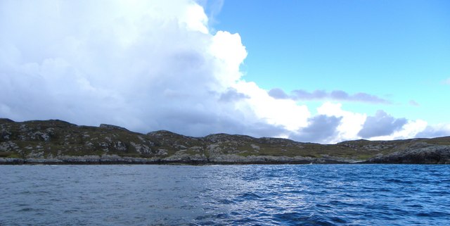
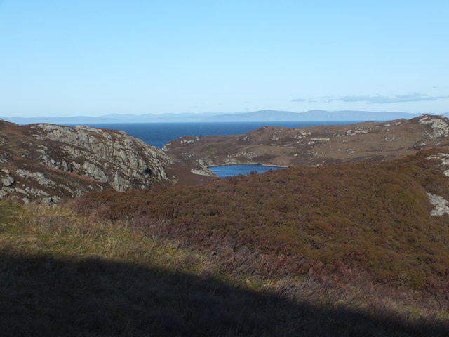
Rubha na Bùth is a picturesque headland located in Inverness-shire, Scotland. Situated along the coastal region, this point is known for its stunning natural beauty and dramatic landscape.

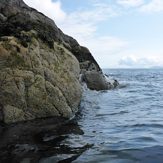
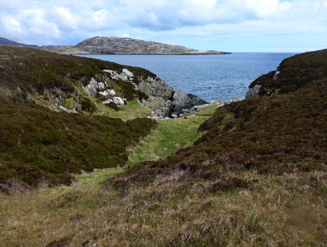
The headland is characterized by rugged cliffs that overlook the North Atlantic Ocean, offering breathtaking panoramic views. The rocky shoreline is shaped by the constant crashing of waves, creating a dynamic and ever-changing scenery.

Rubha na Bùth is a popular destination for nature enthusiasts and photographers due to its diverse wildlife. Seabirds such as gannets, puffins, and guillemots can be spotted nesting on the cliffs, while seals and dolphins are often seen swimming in the surrounding waters.

In addition to its natural wonders, Rubha na Bùth is also rich in history and heritage. The headland is home to ancient ruins, including the remains of a medieval chapel, which add an element of intrigue and fascination to the area.

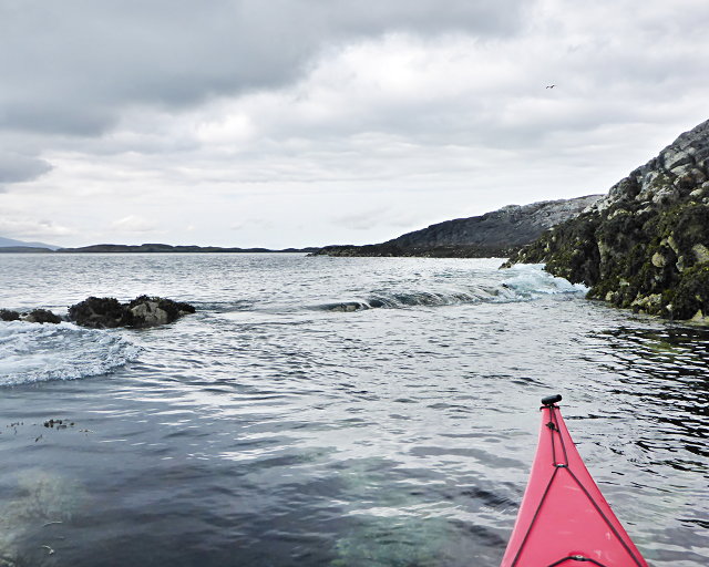
Visitors to Rubha na Bùth can enjoy a variety of outdoor activities. The headland offers excellent opportunities for hiking and walking along its well-maintained trails, allowing visitors to explore the rugged coastline and enjoy the stunning views.

Overall, Rubha na Bùth is a captivating coastal feature that combines dramatic cliffs, abundant wildlife, and historical significance. It is a must-visit destination for those seeking to experience the untamed beauty of the Scottish coastline.

If you have any feedback on the listing, please let us know in the comments section below.

Rubha na Bùth Images

Images are sourced within 2km of 57.477227/-7.1897647 or Grid Reference NF8954. Thanks to Geograph Open Source API. All images are credited.

East coast of Ronay A narrow gap between the tiny island of Eilean na Cloiche [left] and Ronay, leading to a small inlet.
East coast of Ronay
A narrow gap between the tiny island of Eilean na Cloiche [left] and Ronay, leading to a small inlet.
You are being watched A group [possibly 8] of red deer on the east side of Ronay. Deer are known to swim the sea channels between Ronay, Grimsay and North Uist. Currently, deer are the only large grazing animals on Ronay, there being no sheep on the island in 2010.
You are being watched
A group [possibly 8] of red deer on the east side of Ronay. Deer are known to swim the sea channels between Ronay, Grimsay and North Uist. Currently, deer are the only large grazing animals on Ronay, there being no sheep on the island in 2010.
Small bay on east coast of Ronay Small bay backed by a shallow valley, close to the headland of Rubha Creag Mhic Fhionnlaidh.
Small bay on east coast of Ronay
Small bay backed by a shallow valley, close to the headland of Rubha Creag Mhic Fhionnlaidh.
A small tide-race by Rònaigh The flow here was slightly intimidating to me in a kayak, but I made it through without harm.
A small tide-race by Rònaigh
The flow here was slightly intimidating to me in a kayak, but I made it through without harm.
Rubha na Rodagrich I'm not sure of the correct spelling of the island's name - the spelling given by the OS is inconsistent with conventional Gaelic orthography.
Rubha na Rodagrich
I'm not sure of the correct spelling of the island's name - the spelling given by the OS is inconsistent with conventional Gaelic orthography.
Maragaidh Beag In the background is Beinn Rodagrich, on Rònaigh.
Maragaidh Beag
In the background is Beinn Rodagrich, on Rònaigh.
Ruined buildings at Buaile-mhòr
Kallin Harbour, Grimsay
Kallin Harbour The smaller vessels in the harbour are inshore lobster boats which use creels to trap crabs and lobsters.  The larger vessels are offshore prawn boats which use trawl nets to catch the shellfish.
Kallin Harbour
The smaller vessels in the harbour are inshore lobster boats which use creels to trap crabs and lobsters. The larger vessels are offshore prawn boats which use trawl nets to catch the shellfish.
Cottage on Ronay Ronay
Cottage on Ronay
Ronay
Isle of Ronay View of the Isle of Skye across the Minch.
Isle of Ronay
View of the Isle of Skye across the Minch.
Vallastrome, Kallin The view along the Vallastrome channel towards the biggest hill on the island of Ronaigh. The trig point at 115m can just be seen.
Vallastrome, Kallin
The view along the Vallastrome channel towards the biggest hill on the island of Ronaigh. The trig point at 115m can just be seen.
Coming in to harbour Small fishing boat entering Kallin harbour on a summer evening. This little boat has a 'FY' registration for Fowey in Cornwall, but arrived at Kallin on the back of a lorry. The 'Stelimar'is a local boat based here.
Coming in to harbour
Small fishing boat entering Kallin harbour on a summer evening. This little boat has a 'FY' registration for Fowey in Cornwall, but arrived at Kallin on the back of a lorry. The 'Stelimar'is a local boat based here.
Kallin: a deer He spotted me as soon as I spotted him!
Kallin: a deer
He spotted me as soon as I spotted him!
Kallin: the harbour Looking across the harbour from the road above.
Kallin: the harbour
Looking across the harbour from the road above.
Kallin: open-air phone box This telephone box is missing two glass panels and also its roof panel, which is leaning against the wall behind the box.
Kallin: open-air phone box
This telephone box is missing two glass panels and also its roof panel, which is leaning against the wall behind the box.
Near Kallin Bog on Grimsay.
Near Kallin
Bog on Grimsay.
Kallin Harbour A modernised home for a fishing fleet on Grimsay.
Kallin Harbour
A modernised home for a fishing fleet on Grimsay.
Show me another place!

Rubha na Bùth is located at Grid Ref: NF8954 (Lat: 57.477227, Lng: -7.1897647)

Unitary Authority: Na h-Eileanan an Iar

Police Authority: Highlands and Islands

What 3 Words

///probably.obscuring.darting. Near Balivanich, Na h-Eileanan Siar

Related Wikis

Nearby Amenities

Located within 500m of 57.477227,-7.1897647
Created By: dmgroom_coastlines
Lat/Long: 57.48011/-7.19298
Created By: dmgroom_coastlines
Lat/Long: 57.48012/-7.19347
Created By: dmgroom_coastlines
Lat/Long: 57.48037/-7.19346
Created By: dmgroom_coastlines
Lat/Long: 57.48036/-7.19298
Created By: dmgroom_coastlines
Lat/Long: 57.47985/-7.19253
Created By: dmgroom_coastlines
Lat/Long: 57.4801/-7.19252
Created By: dmgroom_coastlines
Lat/Long: 57.4801/-7.19204
Created By: dmgroom_coastlines
Lat/Long: 57.47984/-7.19206
Created By: dmgroom_coastlines
Lat/Long: 57.47935/-7.19351
Created By: dmgroom_coastlines
Lat/Long: 57.4796/-7.19349
Created By: dmgroom_coastlines
Lat/Long: 57.4796/-7.19302
Created By: dmgroom_coastlines
Lat/Long: 57.47934/-7.19303
Seamark Rock Water Level: submerged
Seamark Type: rock
Lat/Long: 57.4796305/-7.1961844
Beinn Rodagraich
Natural: peak
Lat/Long: 57.4749234/-7.1845154
Bàgh an Taigh Ravich
Natural: bay
Lat/Long: 57.4813584/-7.1907602
The data included in this document is from www.openstreetmap.org. The data is made available under ODbL.

Have you been to Rubha na Bùth?

Leave your review of Rubha na Bùth below (or comments, questions and feedback).